Green How
Hill, Mountain in Cumberland Copeland
England
Green How

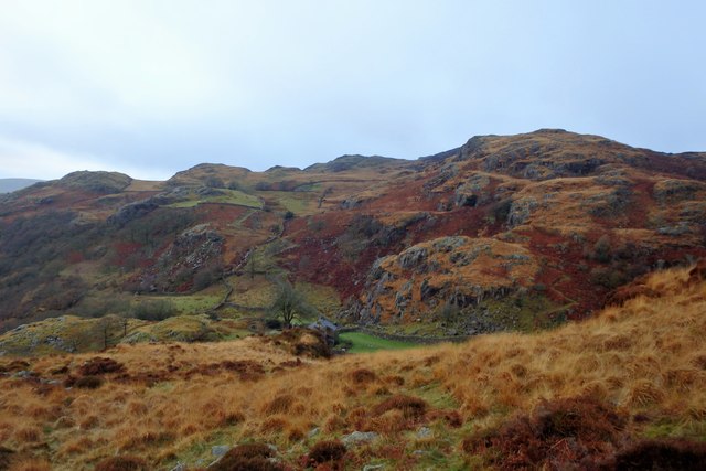
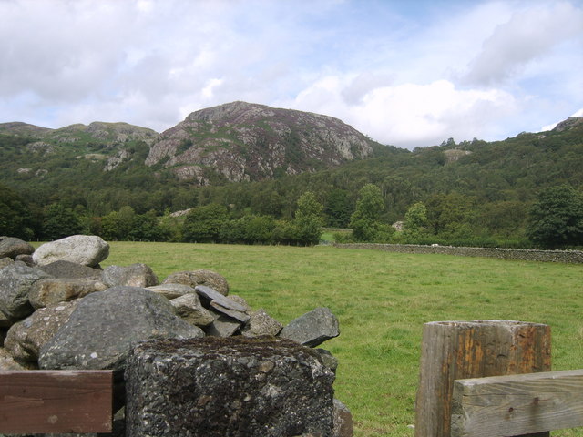
Green How is a prominent hill located in the county of Cumbria, in the northwest region of England. Standing at an elevation of 415 meters (1,362 feet), it is part of the larger Lake District National Park, renowned for its breathtaking landscapes and outdoor recreational activities.
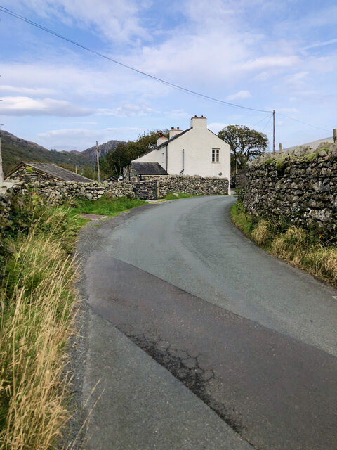
The hill is situated approximately 5 kilometers (3 miles) southwest of the town of Keswick and can be easily accessed via the minor road that runs between Keswick and Thirlmere. Its distinct conical shape and lush green slopes make it a distinctive landmark in the area.
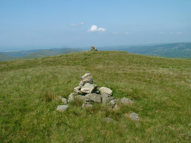
Green How offers hikers and nature enthusiasts a rewarding experience with its well-maintained footpaths and stunning vistas. From the summit, one can enjoy panoramic views of the surrounding countryside, including the nearby Thirlmere Reservoir and the imposing peaks of Helvellyn and Skiddaw.
The hill is also home to a variety of flora and fauna, including heather, bilberries, and a range of bird species. It is not uncommon to spot buzzards, kestrels, and ravens soaring through the skies above.
For those interested in local history, Green How has an intriguing past. The hill was once a site of lead mining activity during the 18th and 19th centuries, and remnants of mining infrastructure can still be seen in the area.
Overall, Green How is a captivating natural feature within the Lake District, offering visitors a chance to immerse themselves in the beauty of the region and explore its rich history.
If you have any feedback on the listing, please let us know in the comments section below.
Green How Images
Images are sourced within 2km of 54.352036/-3.2254646 or Grid Reference SD2095. Thanks to Geograph Open Source API. All images are credited.


![Site of Commonwood Quarries For more information see Heritagegateway.org.uk &lt;<span class="nowrap"><a title="https://www.heritagegateway.org.uk/Gateway/Results_Single.aspx?resourceID=801&amp;uid=2887969" rel="nofollow ugc noopener" href="https://www.heritagegateway.org.uk/Gateway/Results_Single.aspx?resourceID=801&amp;uid=2887969">Link</a><img style="margin-left:2px;" alt="External link" title="External link - shift click to open in new window" src="https://s1.geograph.org.uk/img/external.png" width="10" height="10"/></span> &gt; [accessed 14 October 2023]
](https://s2.geograph.org.uk/geophotos/07/62/43/7624390_93198c44.jpg)


Green How is located at Grid Ref: SD2095 (Lat: 54.352036, Lng: -3.2254646)
Administrative County: Cumbria
District: Copeland
Police Authority: Cumbria
What 3 Words
///prepped.inherits.reports. Near Millom, Cumbria
Nearby Locations
Related Wikis
Great Worm Crag
Great Worm Crag is a hill in south west of the English Lake District, north of Ulpha, Cumbria. It is the subject of a chapter of Wainwright's book The...
Wallowbarrow Crag
Wallowbarrow Crag is a hill of 292 metres (958 ft) in the Lake District, England. It is on the west of the Duddon Valley, across the valley from the village...

Ulpha
Ulpha is a small village and civil parish in the Duddon Valley in the Lake District National Park in Cumbria, England. Historically in Cumberland, it forms...

Seathwaite, Westmorland and Furness
Seathwaite is a village in the Dunnerdale-with-Seathwaite civil parish in the Westmorland and Furness district of Cumbria in North West England. It is...

Dunnerdale-with-Seathwaite
Dunnerdale-with-Seathwaite is a civil parish in the Westmorland and Furness district of the ceremonial county of Cumbria, England. It includes the village...
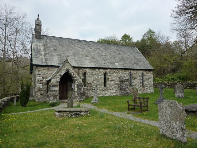
Holy Trinity Church, Seathwaite
Holy Trinity Church is in the village of Seathwaite, Cumbria, England. It is an active Anglican parish church in the deanery of Furness, the archdeaconry...

Green Crag
Green Crag is a fell in the English Lake District. It stands between Eskdale and the Duddon valley in the Southern Fells. == Topography == The headwaters...

Caw (hill)
Caw is a hill in Cumbria, England, near the village of Seathwaite above the Duddon Valley, reaching 1,735 feet (529 m) and having a trig point at the summit...
Nearby Amenities
Located within 500m of 54.352036,-3.2254646Have you been to Green How?
Leave your review of Green How below (or comments, questions and feedback).