Broom Hill
Hill, Mountain in Fife
Scotland
Broom Hill
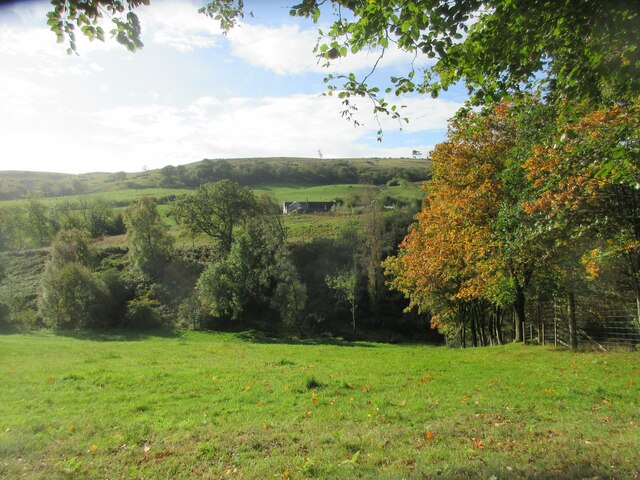
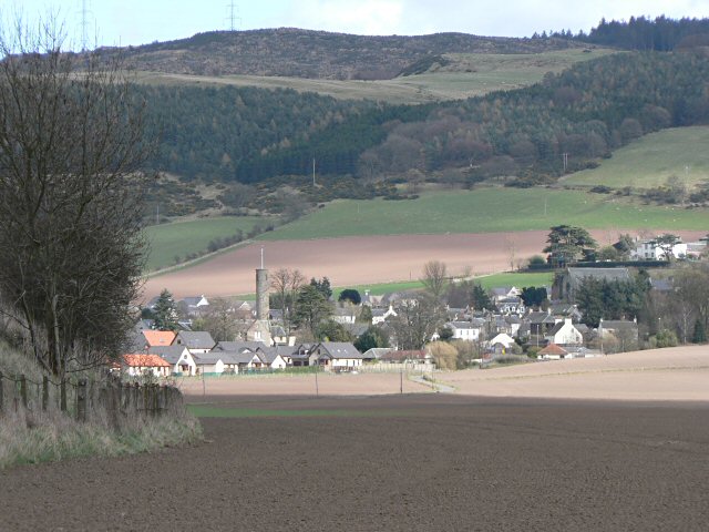
Broom Hill is a prominent hill located in Fife, Scotland. Standing at an elevation of 234 meters (768 feet), it is a notable feature of the Fife landscape. The hill is situated near the town of Dunfermline, approximately 3 miles northwest of the town center.
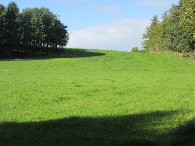
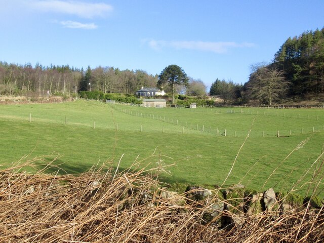
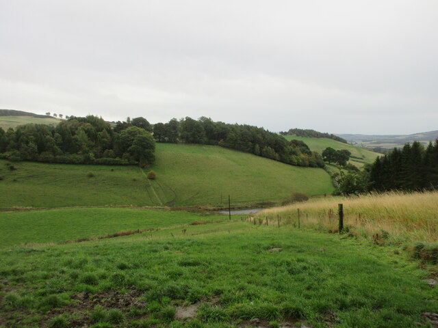
Broom Hill offers stunning panoramic views of the surrounding countryside and is a popular destination for outdoor enthusiasts, hikers, and nature lovers. Its distinctive shape and lush greenery make it an attractive sight, especially during the spring and summer months when the hillside is adorned with colorful wildflowers.
The hill is easily accessible, with a well-maintained footpath that leads to the summit. The ascent is moderate, making it suitable for individuals of various fitness levels. Once at the top, visitors are rewarded with breathtaking vistas of the Firth of Forth, the Ochil Hills, and the nearby towns.
Broom Hill also has historical significance. It is believed to have been a site of ancient settlements, with remnants of prehistoric structures found in the vicinity. The hill's name is derived from the broom plant, which grows abundantly in the area.
Overall, Broom Hill in Fife is a captivating natural feature that offers both recreational opportunities and a glimpse into the region's rich history. Its accessibility, stunning views, and cultural significance make it a must-visit destination for anyone exploring the Fife region.
If you have any feedback on the listing, please let us know in the comments section below.
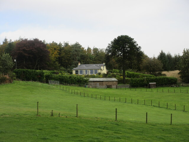
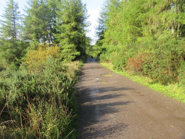
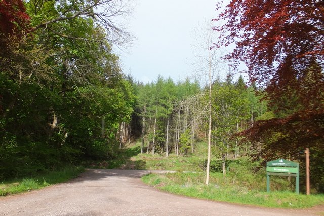
Broom Hill Images
Images are sourced within 2km of 56.309684/-3.2875572 or Grid Reference NO2013. Thanks to Geograph Open Source API. All images are credited.


![Brownie's Chair?, Pitlour Hill I spent a while on this hill looking for what I thought would be the natural feature of the 'Brownie's Chair' and decided this was a likely contender. Later I read what I should gave read before my search:
A small Cottage, one storey high, and thatched and situated on an elevated situation near the south end of Pitlour Wood and occupied by one of Mr. Skene's Gamekeepers.
[Note] This name is said by the people in the locality to arise from the circumstance of the trunk of a large tree which stood here at one time from the belief that it was a seat for the Brownies which is a kind of fairy.
(<span class="nowrap"><a title="https://scotlandsplaces.gov.uk/digital-volumes/ordnance-survey-name-books/fife-and-kinross-shire-os-name-books-1853-1855/fife-and-kinross-shire-volume-50/29)" rel="nofollow ugc noopener" href="https://scotlandsplaces.gov.uk/digital-volumes/ordnance-survey-name-books/fife-and-kinross-shire-os-name-books-1853-1855/fife-and-kinross-shire-volume-50/29)">Link</a><img style="margin-left:2px;" alt="External link" title="External link - shift click to open in new window" src="https://s1.geograph.org.uk/img/external.png" width="10" height="10"/></span>
I should have been looking for the remains of a man-made house.
At any rate, this natural feature is rather attractive and makes a nice picnic spot!](https://s1.geograph.org.uk/geophotos/06/07/01/6070181_403ba6d3.jpg)

Broom Hill is located at Grid Ref: NO2013 (Lat: 56.309684, Lng: -3.2875572)
Unitary Authority: Fife
Police Authority: Fife
What 3 Words
///bright.demanding.milder. Near Abernethy, Perth & Kinross
Nearby Locations
Related Wikis


Nearby Amenities
Located within 500m of 56.309684,-3.2875572Have you been to Broom Hill?
Leave your review of Broom Hill below (or comments, questions and feedback).