Corby Hill
Hill, Mountain in Midlothian
Scotland
Corby Hill
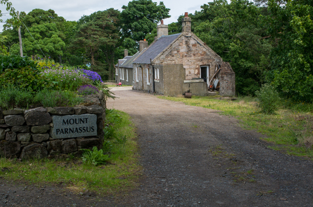
Corby Hill is a small village located in Midlothian, Scotland. Situated on a hill, it offers stunning panoramic views of the surrounding countryside. The village is nestled amidst rolling green hills and picturesque farmland, making it an ideal destination for nature lovers and outdoor enthusiasts.
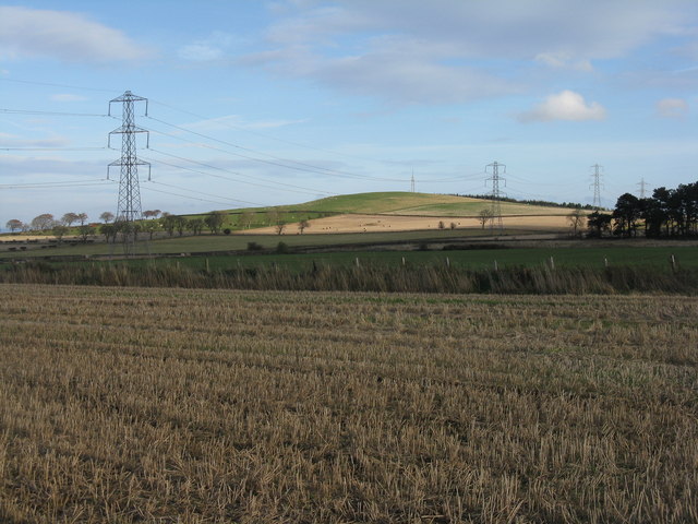
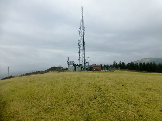
The hill itself is a prominent feature of the landscape, standing at an elevation of approximately 200 meters. It is covered in lush grass and dotted with scattered trees, adding to its natural beauty. Hiking and walking trails crisscross the hill, providing opportunities for visitors to explore and appreciate the stunning scenery.
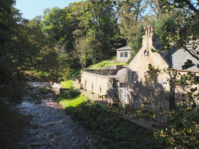
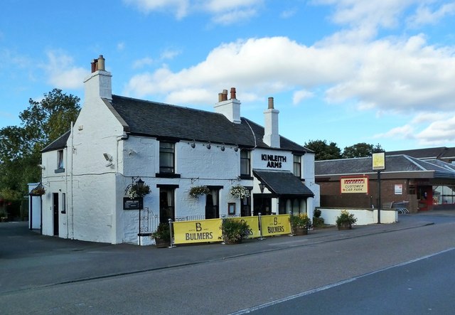
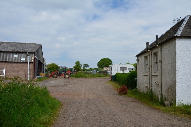
Corby Hill is also home to a small, close-knit community. The village has a charming, rural atmosphere with a few traditional stone buildings and houses. The local residents are known for their warm hospitality, and visitors will often find themselves welcomed with open arms.
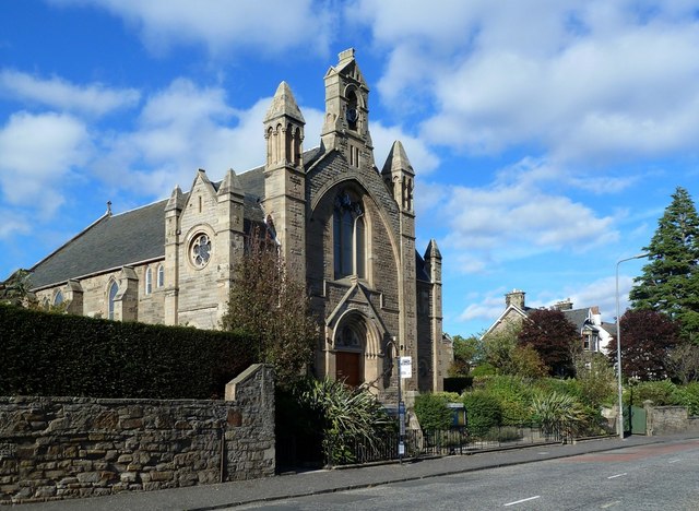
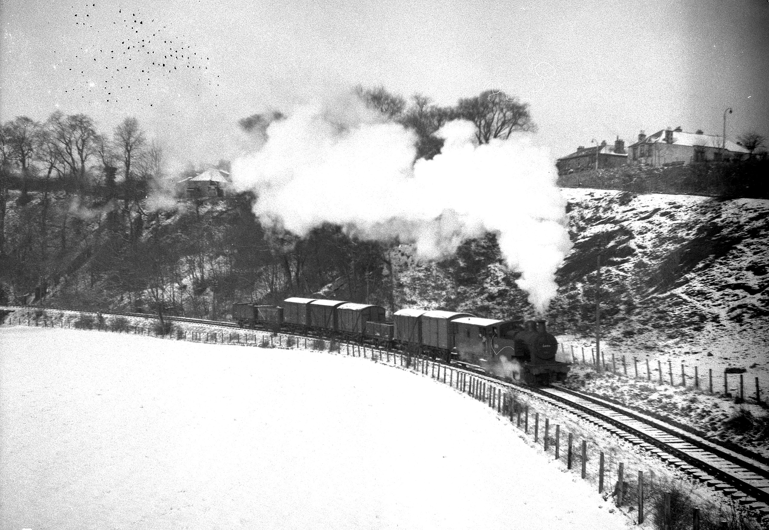
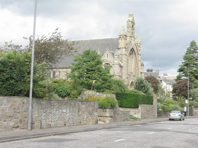
In addition to its natural beauty, Corby Hill boasts a rich history. The hill and the surrounding area have been inhabited for centuries, with evidence of ancient settlements and landmarks. The village itself has a historic church that dates back several centuries, adding to its cultural significance.
Overall, Corby Hill in Midlothian offers a peaceful retreat from the bustling city life. It combines stunning natural beauty, a rich history, and a welcoming community, making it a hidden gem for those seeking a tranquil escape in the heart of Scotland.
If you have any feedback on the listing, please let us know in the comments section below.
Corby Hill Images
Images are sourced within 2km of 55.898758/-3.2734933 or Grid Reference NT2068. Thanks to Geograph Open Source API. All images are credited.


Corby Hill is located at Grid Ref: NT2068 (Lat: 55.898758, Lng: -3.2734933)
Unitary Authority: City of Edinburgh
Police Authority: Edinburgh
What 3 Words
///prove.clots.hours. Near Colinton, Edinburgh
Nearby Locations
Related Wikis

Torphin
Torphin ( tor-FIN) is a small area in the south-west of Edinburgh, Scotland, with its name deriving from the nearby Torphin Hill. It lies just south of...

Woodhall House, Edinburgh
Woodhall House is a Scottish mansion house, first recorded in 1707. It was also an institution run by the Society of Jesus in the late 20th century. It...
Juniper Green railway station
Juniper Green railway station was opened in 1874 and served the area of the then village of Juniper Green that now forms part of the city of Edinburgh...
Juniper Green
Juniper Green is a village on the outskirts of Edinburgh, Scotland, situated about 5.5 miles (8.9 km) south-west of the city centre. It bridges the city...
Bonaly
Bonaly () is an area on the south-western outskirts of Edinburgh and the northern slopes of the Pentland Hills, lying within the Parish of Colinton. It...
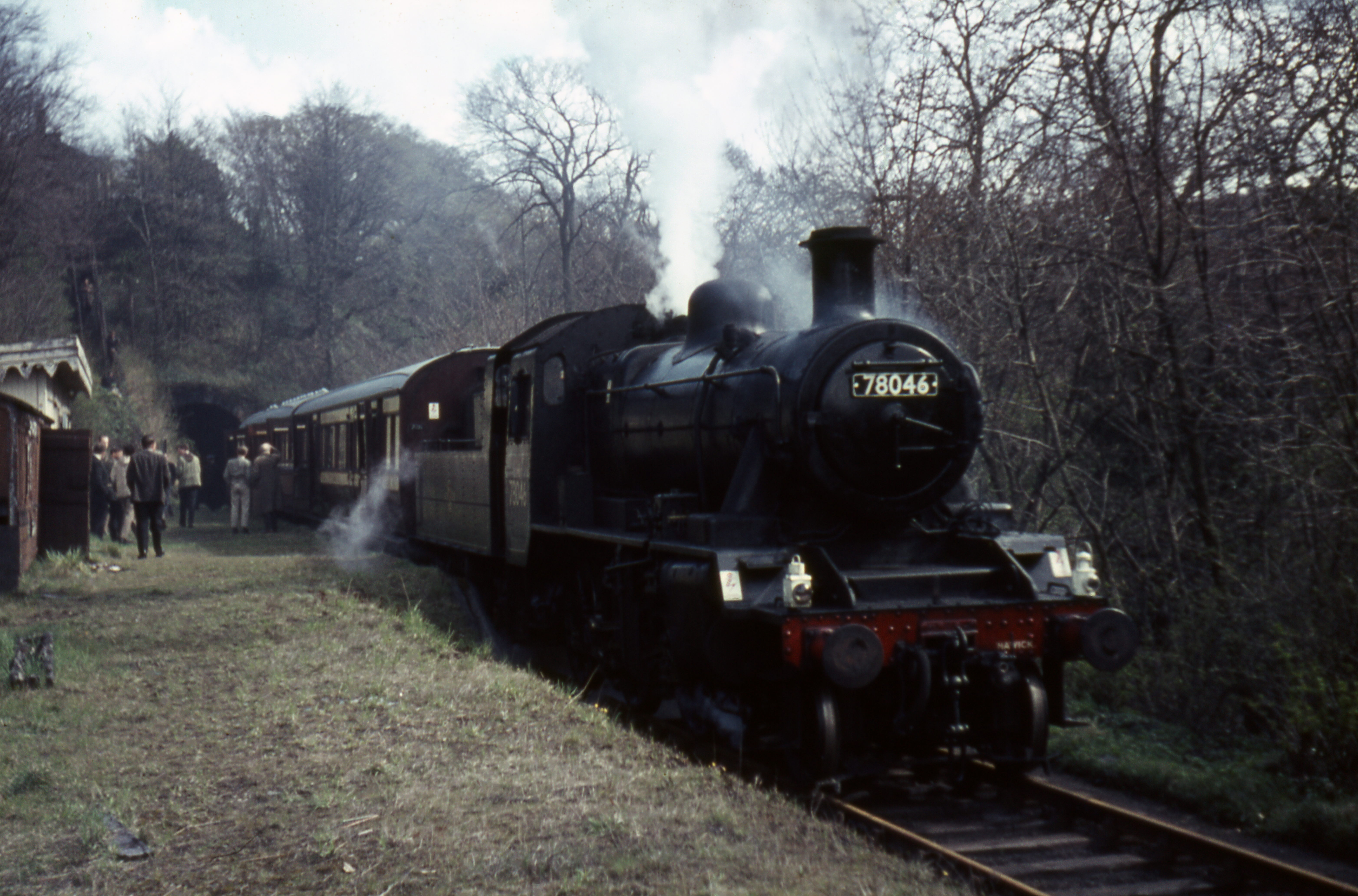
Colinton railway station
Colinton railway station was opened in 1874 and served the area of the then village of Colinton that now forms part of the city of Edinburgh, with Colinton...
Wester Hailes Baptist Church
Wester Hailes Baptist Church is a church in the Wester Hailes area of west Edinburgh, Scotland, founded in 1971. == External links == Official website

Clovenstone
Clovenstone is a neighbourhood in southwestern Edinburgh, Scotland. It is adjacent to Wester Hailes and the A720 road. Wester Hailes Baptist Church is...
Nearby Amenities
Located within 500m of 55.898758,-3.2734933Have you been to Corby Hill?
Leave your review of Corby Hill below (or comments, questions and feedback).