Kepple Crag
Hill, Mountain in Cumberland Copeland
England
Kepple Crag
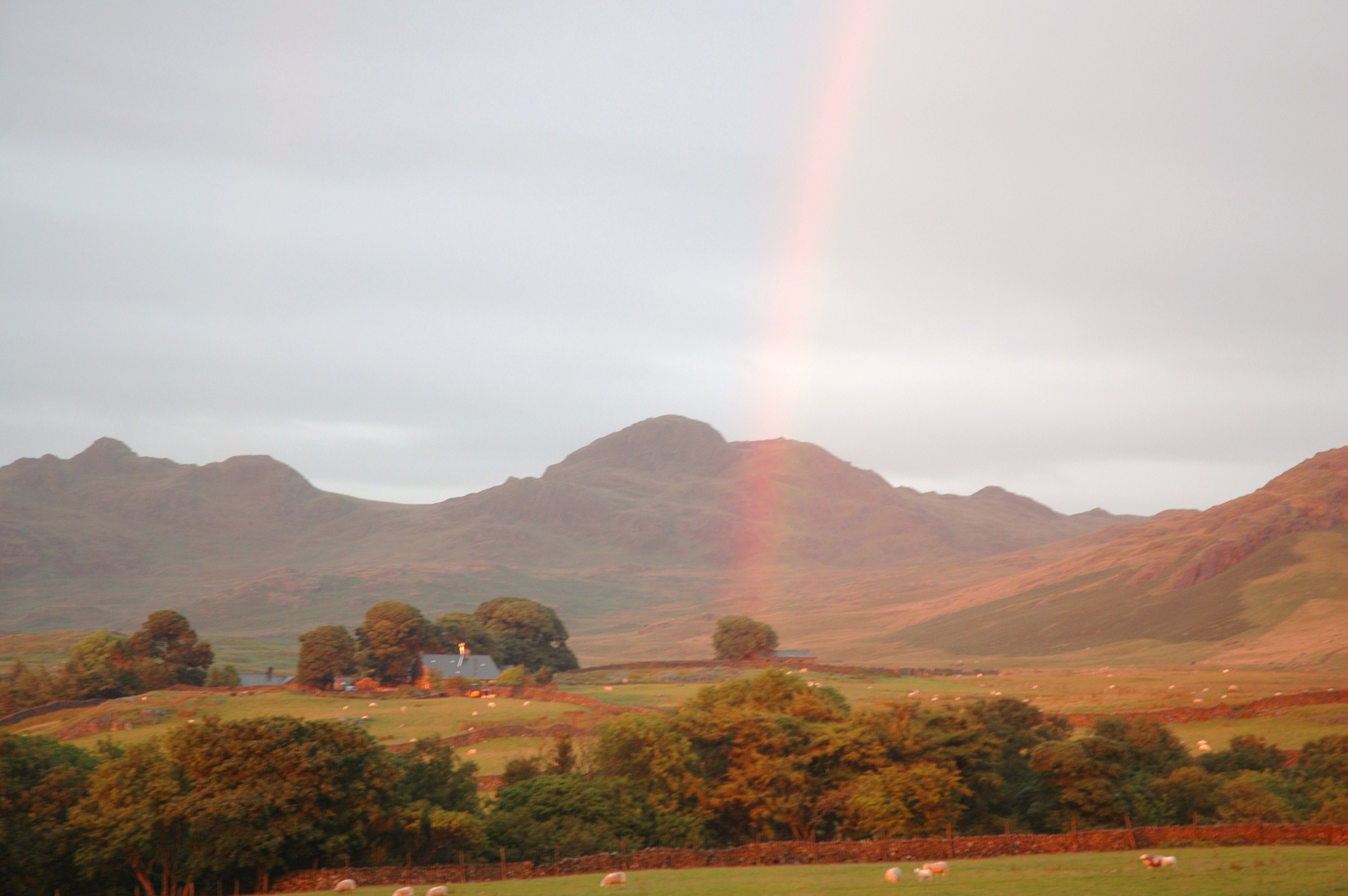
Kepple Crag is a prominent hill located in Cumberland, a historic county in the northwestern region of England. Standing at an elevation of approximately 400 meters (1,312 feet), it is considered a notable feature in the Cumberland landscape. The crag is situated near the village of Kepple, which is nestled within the picturesque countryside.
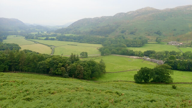
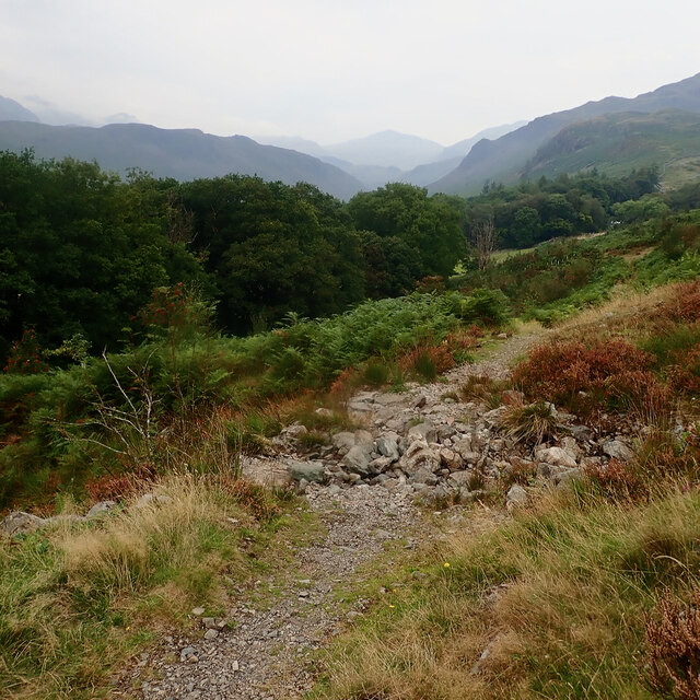
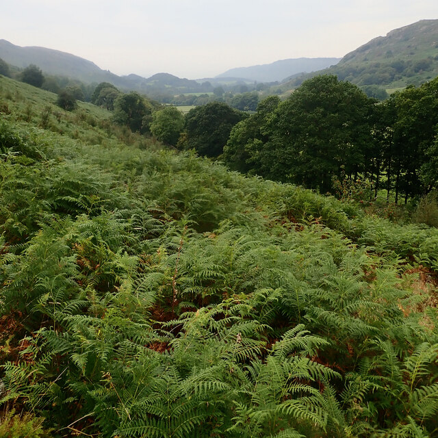
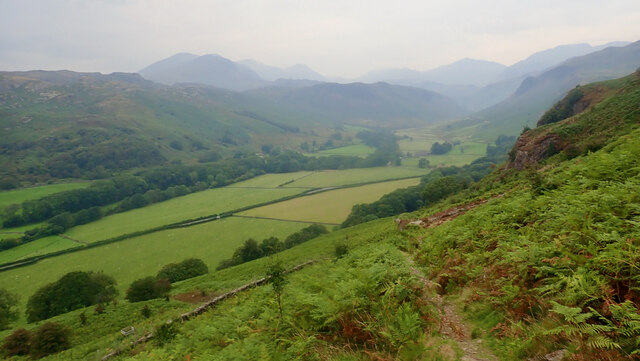
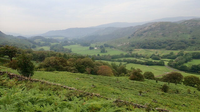
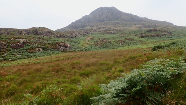
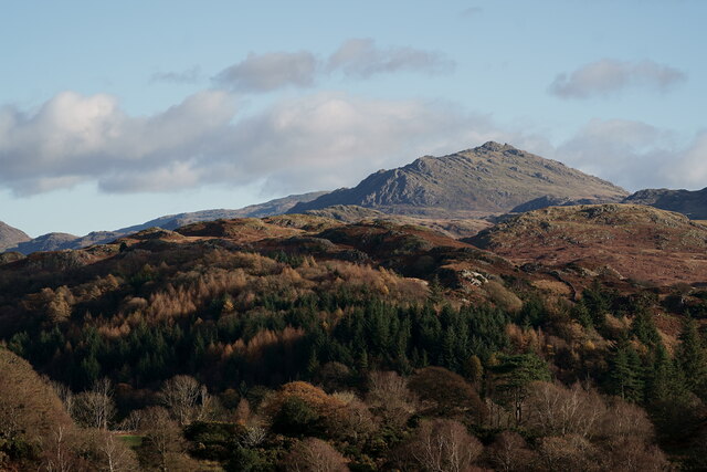
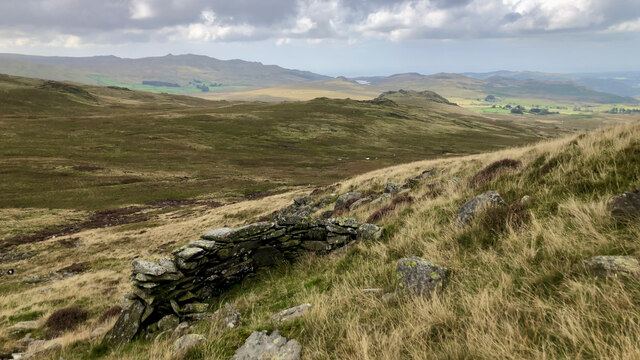
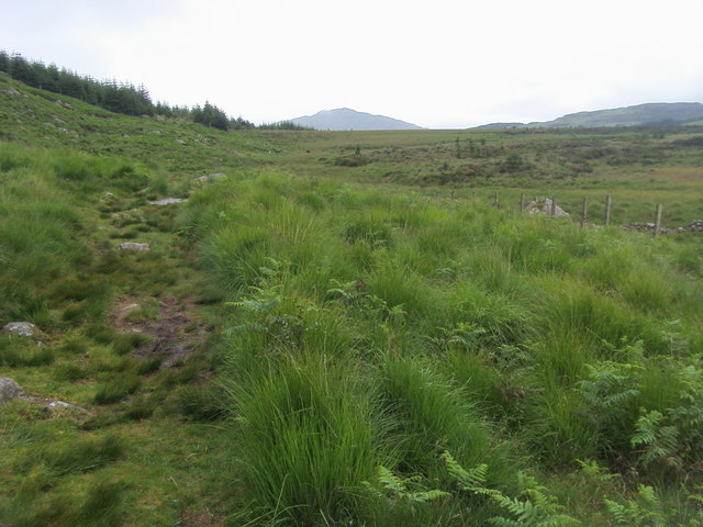
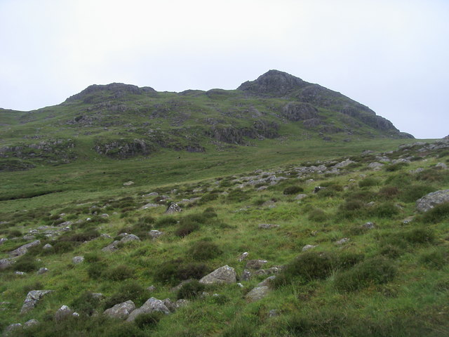
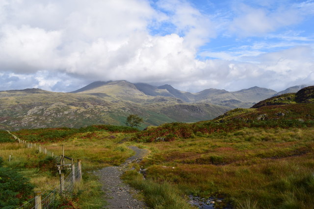
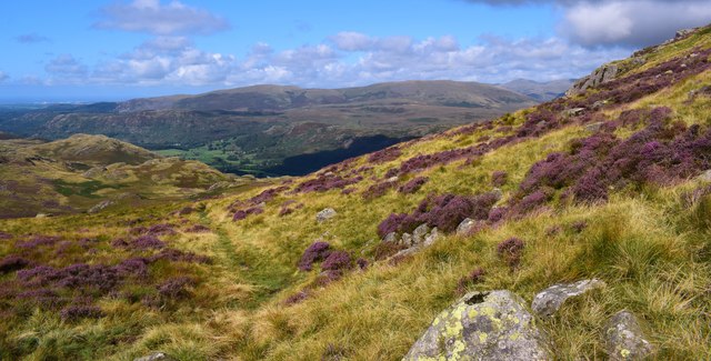
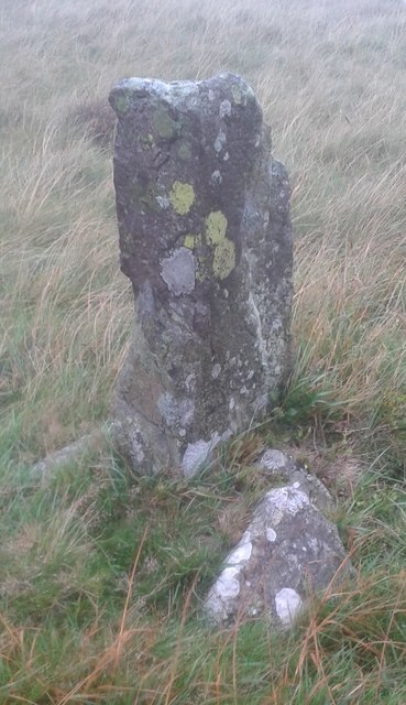
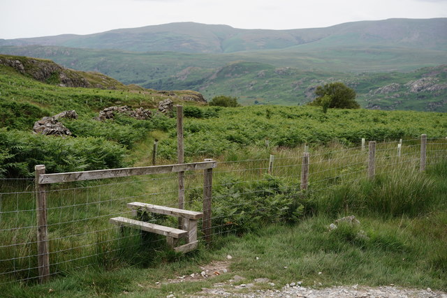
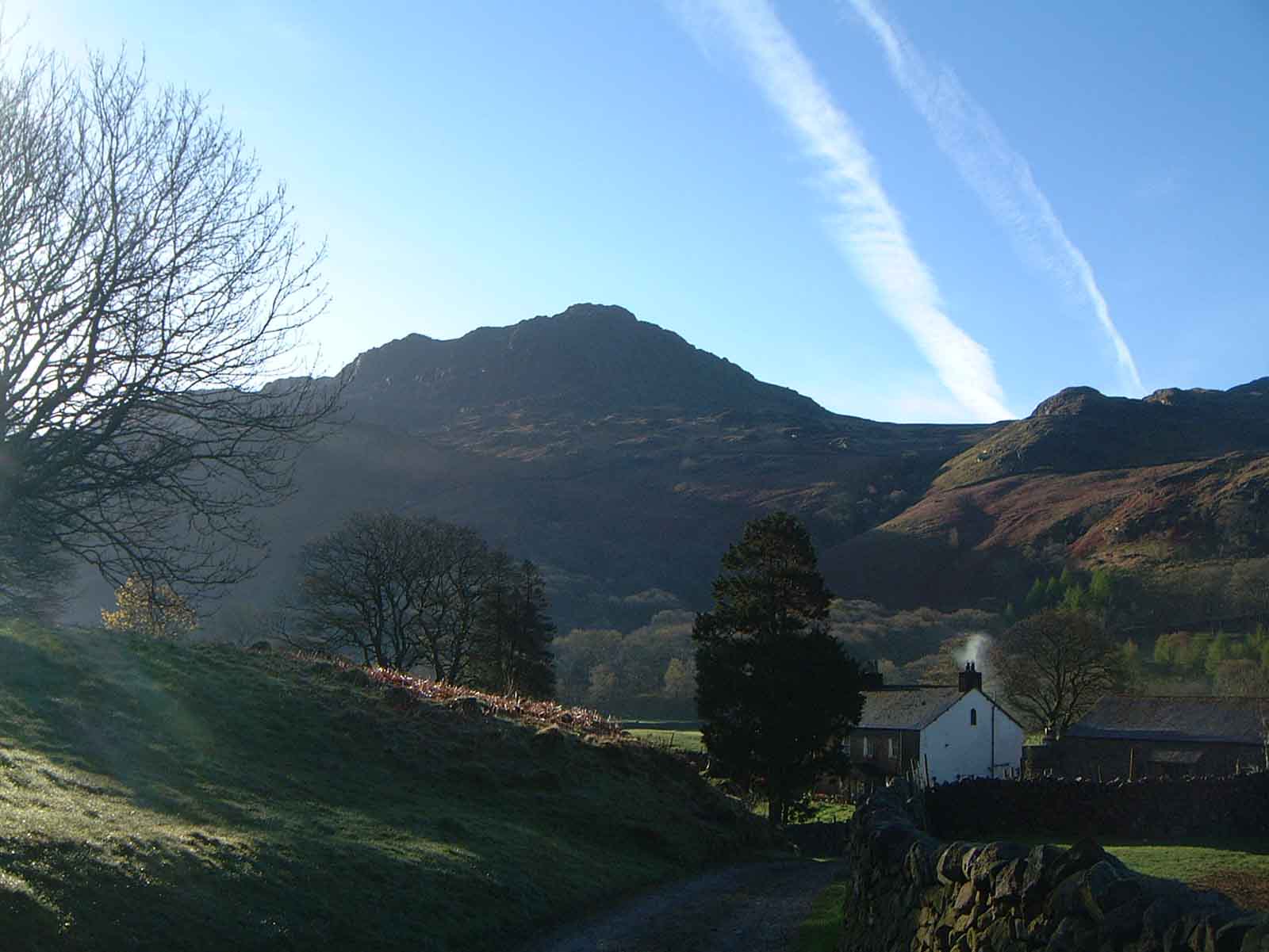
The hill is characterized by its steep slopes and rocky outcrops, giving it a distinctive appearance. Kepple Crag offers breathtaking panoramic views of the surrounding countryside, including the rolling hills and valleys of Cumberland. On clear days, it is even possible to spot the distant peaks of the Lake District National Park.
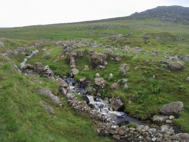
The area surrounding Kepple Crag is known for its rich biodiversity. The hill is covered in a mix of heather, grasses, and scattered trees, providing habitat for various wildlife species. Birdwatchers may be rewarded with sightings of native birds such as peregrine falcons, kestrels, and buzzards soaring above the crag.
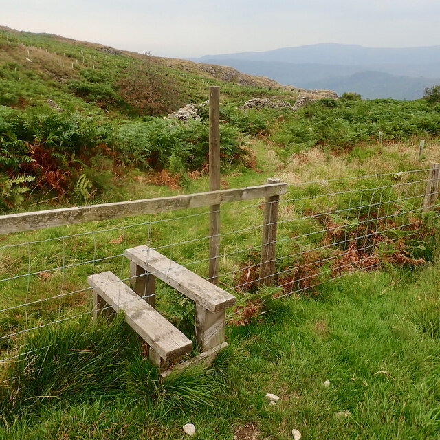
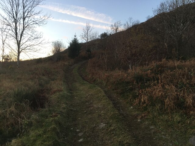
Kepple Crag is a popular destination for outdoor enthusiasts, attracting hikers, nature lovers, and photographers. There are several walking trails that lead to the summit, offering a challenging yet rewarding experience. The hill's elevation provides a good workout for those seeking a more strenuous hike.
In summary, Kepple Crag is a striking hill in Cumberland, offering stunning views, diverse wildlife, and opportunities for outdoor exploration. Its natural beauty and accessibility make it a beloved destination for locals and visitors alike.
If you have any feedback on the listing, please let us know in the comments section below.
Kepple Crag Images
Images are sourced within 2km of 54.388354/-3.2352786 or Grid Reference SD1999. Thanks to Geograph Open Source API. All images are credited.
Kepple Crag is located at Grid Ref: SD1999 (Lat: 54.388354, Lng: -3.2352786)
Administrative County: Cumbria
District: Copeland
Police Authority: Cumbria
What 3 Words
///rebounder.courier.waggled. Near Seascale, Cumbria
Nearby Locations
Related Wikis

Woolpack walk
The Woolpack Walk is a challenge walk which starts and finishes at the Woolpack Inn, Eskdale in the Lake District of England. The route covers 30 km (18...

Green Crag
Green Crag is a fell in the English Lake District. It stands between Eskdale and the Duddon valley in the Southern Fells. == Topography == The headwaters...
Harter Fell (Eskdale)
Harter Fell is a fell in the western part of the English Lake District, located between the Eskdale and Duddon valleys. Its height is 653 metres (2,142...

Eskdale, Cumbria
Eskdale is a glacial valley and civil parish in the western Lake District National Park in Cumbria, England. It forms part of the Borough of Copeland...
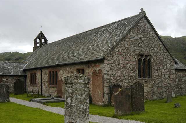
St Catherine's Church, Boot
St Catherine's Church is in the village of Boot, Cumbria, England. It is the Anglican parish church of Eskdale, Cumbria, and is in the deanery of Calder...

Boot, Cumbria
Boot is a small village in Eskdale, Cumbria, in the Lake District of England. It forms part of the Borough of Copeland. There are two roads from which...

Hardknott Roman Fort
Hardknott Roman Fort is an archeological site, the remains of the Roman fort Mediobogdum, located on the western side of the Hardknott Pass in the English...
Birkerthwaite
Birkerthwaite is a village on Birker Fell, Eskdale, Cumbria, England. == See also == List of places in Cumbria == External links == Media related to Birkerthwaite...
Nearby Amenities
Located within 500m of 54.388354,-3.2352786Have you been to Kepple Crag?
Leave your review of Kepple Crag below (or comments, questions and feedback).