Hill of Rive
Hill, Mountain in Caithness
Scotland
Hill of Rive
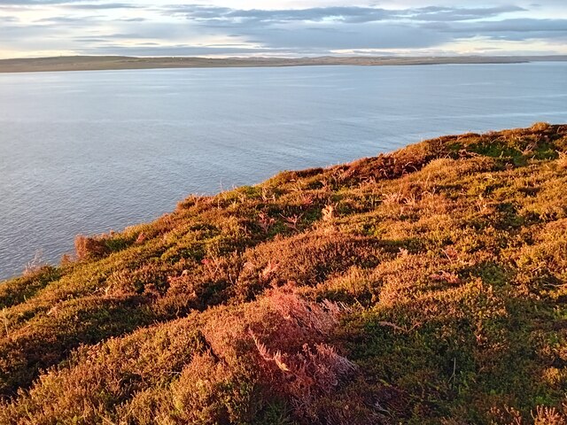
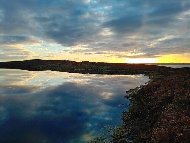
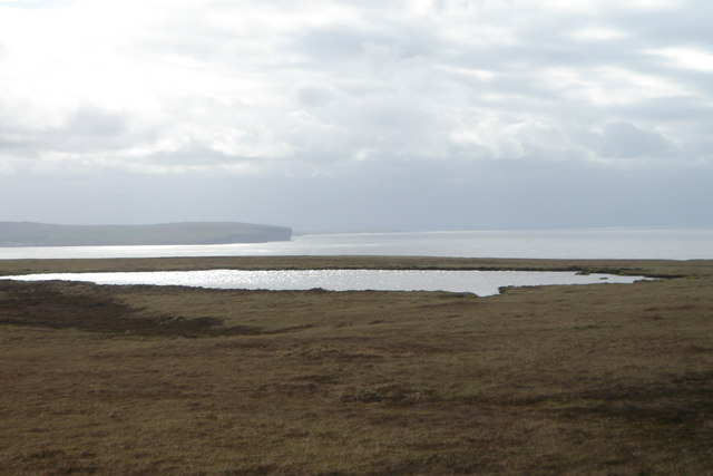
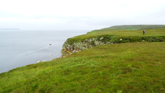
Hill of Rive is a prominent geographical feature located in the county of Caithness, Scotland. Rising to an elevation of approximately 168 meters (551 feet), it is classified as a hill rather than a mountain due to its modest height. Situated in the rural landscape, the hill is surrounded by rolling green fields and offers panoramic views of the surrounding countryside.
Hill of Rive is composed mainly of rugged sandstone, which gives it a distinctive reddish-brown coloration. Its slopes are covered with a variety of vegetation, including heather, grasses, and scattered shrubs. The hill's summit is relatively flat, providing a relatively easy ascent for hikers and nature enthusiasts.
The hill is a popular destination for both locals and tourists due to its natural beauty and accessibility. It offers a peaceful retreat and a chance to immerse oneself in the tranquility of the Scottish countryside. Many visitors enjoy exploring the hill's trails, which wind their way through the surrounding countryside, offering breathtaking views at every turn.
In addition to its natural allure, Hill of Rive also has historical significance. It is believed to have been inhabited since prehistoric times, with archaeological evidence suggesting human activity in the area dating back thousands of years. The hill's strategic location overlooking the surrounding landscape may have made it an ideal vantage point for early settlers.
Overall, Hill of Rive in Caithness is a picturesque hill that offers visitors a chance to connect with nature, enjoy stunning views, and explore a site of historical importance.
If you have any feedback on the listing, please let us know in the comments section below.
Hill of Rive Images
Images are sourced within 2km of 58.631106/-3.3815366 or Grid Reference ND1972. Thanks to Geograph Open Source API. All images are credited.


Hill of Rive is located at Grid Ref: ND1972 (Lat: 58.631106, Lng: -3.3815366)
Unitary Authority: Highland
Police Authority: Highlands and Islands
What 3 Words
///wedge.acrobats.calculate. Near Thurso, Highland
Nearby Locations
Related Wikis
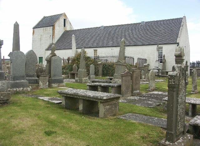
Dunnet Church
Dunnet Parish Church is a Church of Scotland church in Dunnet, Caithness, northern Scotland. References to St Mary's Parish Church are known from as far...

Brough, Caithness
Brough is a small village (population 66) in Caithness in the North of Scotland. It is located on the B855 single-track road, the most northerly numbered...

Dunnet
Dunnet is a village in Caithness, in the Highland area of Scotland. It is within the Parish of Dunnet. == Village == The village centres on the A836–B855...

Brough Castle (Caithness)
Brough Castle is a ruined castle near Brough, Caithness. It is believed to date from the 12th to 14th centuries. == Description == The foundations of...
Nearby Amenities
Located within 500m of 58.631106,-3.3815366Have you been to Hill of Rive?
Leave your review of Hill of Rive below (or comments, questions and feedback).