Tarn Crag
Hill, Mountain in Cumberland Copeland
England
Tarn Crag
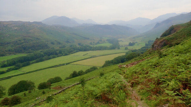
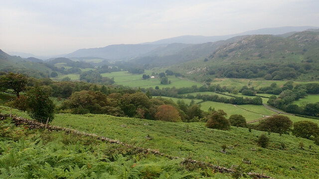
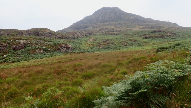
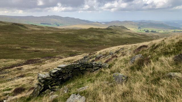
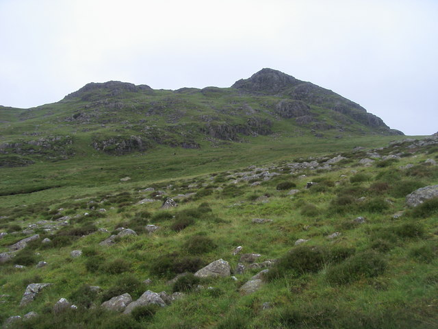
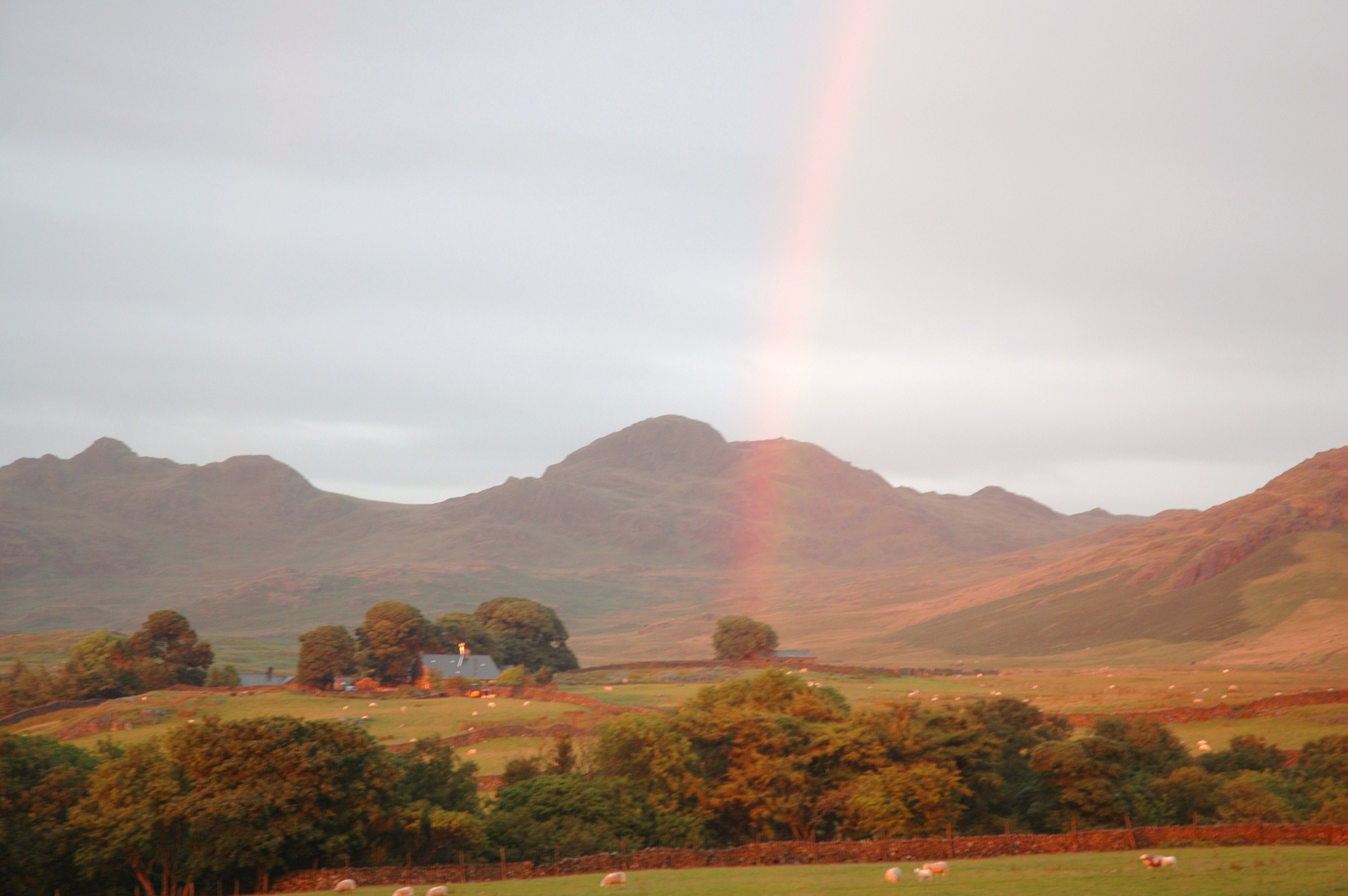
Tarn Crag is a prominent hill located in the Lake District National Park in Cumberland, England. Standing at an elevation of 664 meters (2,178 feet), it is considered one of the notable hills in the region. Tarn Crag is situated in the eastern part of the Lake District, near the town of Ambleside.
The hill is primarily composed of volcanic rock, formed during the volcanic activity that shaped the region millions of years ago. Its distinctive summit is marked by a large cairn, which offers panoramic views of the surrounding landscape, including the nearby Red Screes and the Troutbeck Valley.
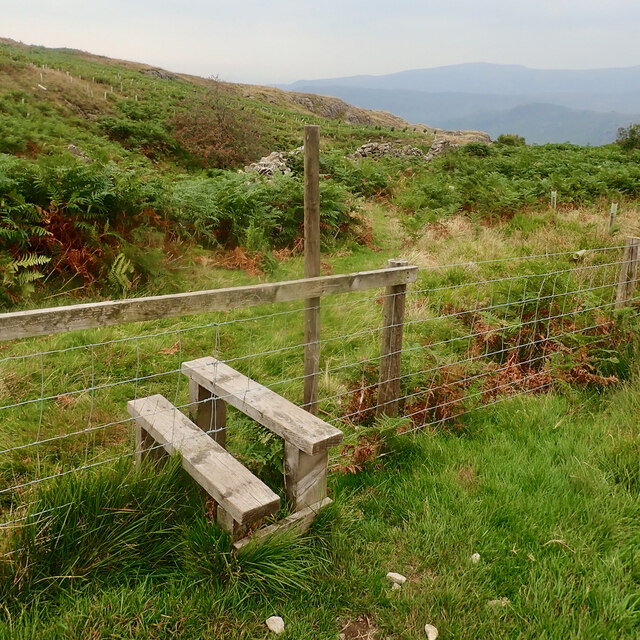
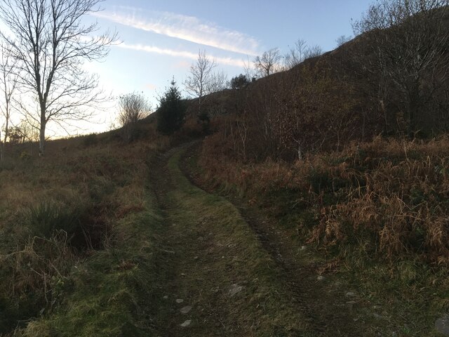
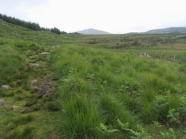
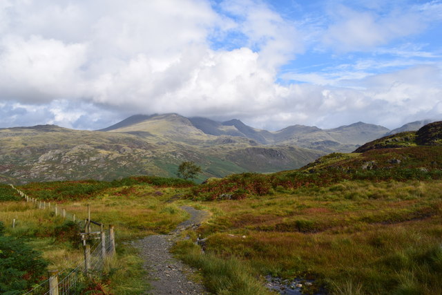
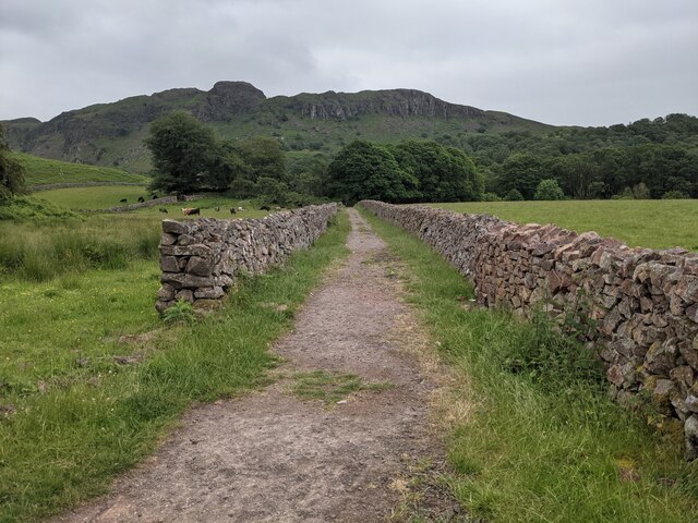
Tarn Crag is a popular destination for hikers and walkers, as it provides a relatively easy ascent with well-defined paths leading to the summit. It is often included as part of longer walks such as the Fairfield Horseshoe or the Kentmere Horseshoe, which take in several other peaks in the area.
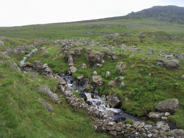
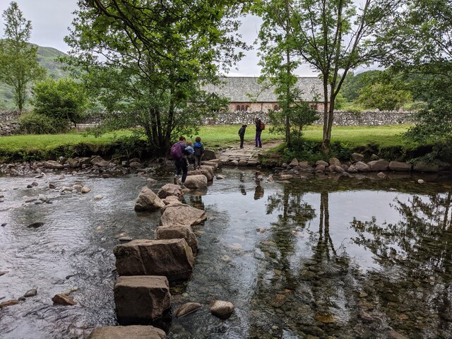
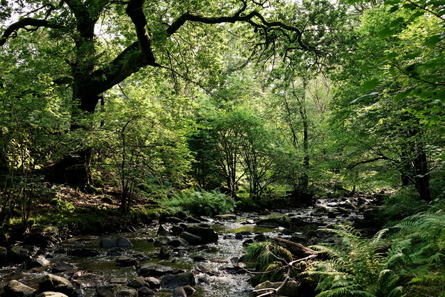
The hill is also home to several tarns (small mountain lakes), from which it derives its name. These tarns, including Small Tarn and Blea Tarn, add to the scenic beauty of the area and provide opportunities for wildlife spotting and photography.
Tarn Crag offers a rewarding outdoor experience for nature enthusiasts and those seeking breathtaking views of the Lake District. Its accessibility and natural beauty make it a popular destination for visitors to the region, contributing to the overall charm and allure of the Cumberland countryside.
If you have any feedback on the listing, please let us know in the comments section below.
Tarn Crag Images
Images are sourced within 2km of 54.385607/-3.2445587 or Grid Reference SD1999. Thanks to Geograph Open Source API. All images are credited.


Tarn Crag is located at Grid Ref: SD1999 (Lat: 54.385607, Lng: -3.2445587)
Administrative County: Cumbria
District: Copeland
Police Authority: Cumbria
What 3 Words
///weeknight.highlighted.ratty. Near Seascale, Cumbria
Nearby Locations
Related Wikis

Woolpack walk
The Woolpack Walk is a challenge walk which starts and finishes at the Woolpack Inn, Eskdale in the Lake District of England. The route covers 30 km (18...

Green Crag
Green Crag is a fell in the English Lake District. It stands between Eskdale and the Duddon valley in the Southern Fells. == Topography == The headwaters...

Eskdale, Cumbria
Eskdale is a glacial valley and civil parish in the western Lake District National Park in Cumbria, England. It forms part of the Borough of Copeland...
St Catherine's Church, Boot
St Catherine's Church is in the village of Boot, Cumbria, England. It is the Anglican parish church of Eskdale, Cumbria, and is in the deanery of Calder...
Birkerthwaite
Birkerthwaite is a village on Birker Fell, Eskdale, Cumbria, England. == See also == List of places in Cumbria == External links == Media related to Birkerthwaite...

Boot, Cumbria
Boot is a small village in Eskdale, Cumbria, in the Lake District of England. It forms part of the Borough of Copeland. There are two roads from which...

Dalegarth railway station
Dalegarth railway station is the easterly terminus of the 15-inch gauge Ravenglass and Eskdale Railway in Cumbria, England. It has a café and shop for...

Beckfoot railway station
Beckfoot railway station is a railway station on the 15" gauge Ravenglass & Eskdale Railway in Cumbria. It is situated within a 1⁄2 mile (0.80 km) walk...
Nearby Amenities
Located within 500m of 54.385607,-3.2445587Have you been to Tarn Crag?
Leave your review of Tarn Crag below (or comments, questions and feedback).