Lower Birker Tarn
Lake, Pool, Pond, Freshwater Marsh in Cumberland Copeland
England
Lower Birker Tarn
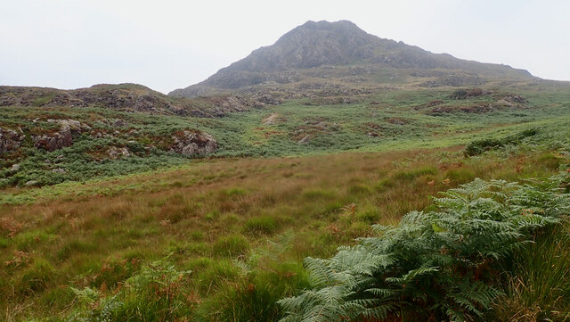
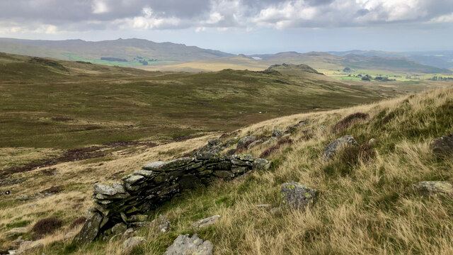
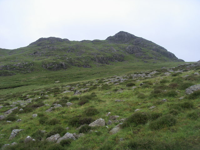
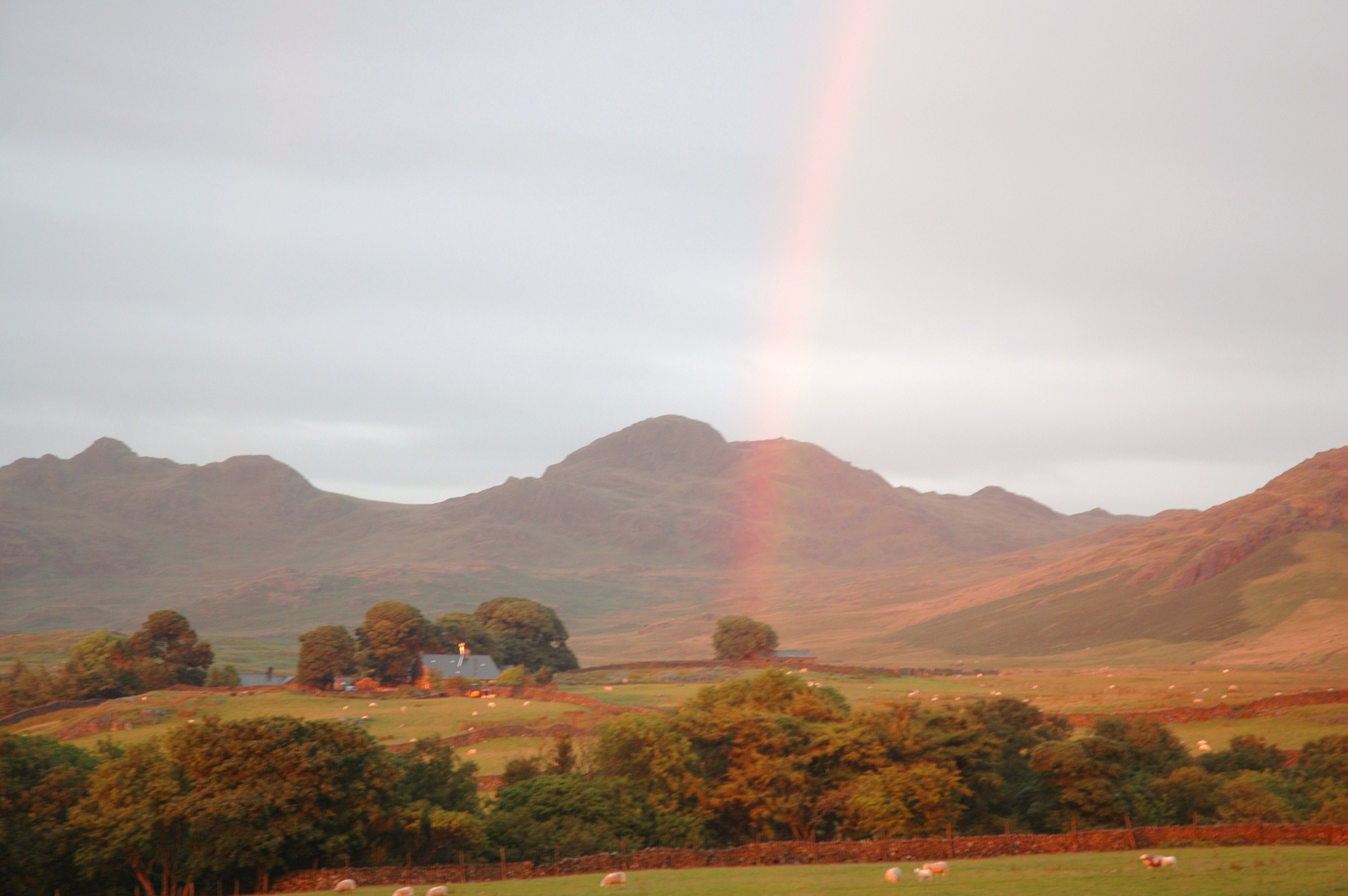
Lower Birker Tarn is a picturesque freshwater lake situated in the county of Cumberland, England. Nestled within the tranquil setting of Birker Fell, it is a haven for nature enthusiasts and those seeking solace in its serene surroundings. The tarn is located at an elevation of approximately 330 meters above sea level, offering breathtaking views of the surrounding mountains.
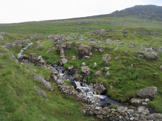
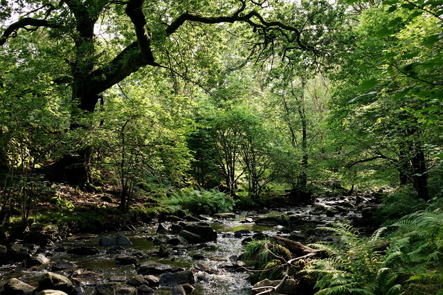
Covering an area of about 2.5 acres, Lower Birker Tarn boasts crystal-clear waters that are fed by natural springs and gentle streams flowing from the nearby fells. The lake is a haven for a diverse range of aquatic flora and fauna, providing a thriving ecosystem for various species of fish, including native brown trout.
The tarn is surrounded by lush vegetation, including reeds, rushes, and water lilies, which create a vibrant and inviting environment for numerous bird species. Visitors can spot a variety of waterfowl, such as mallards, tufted ducks, and great crested grebes, as well as occasional sightings of herons and kingfishers.
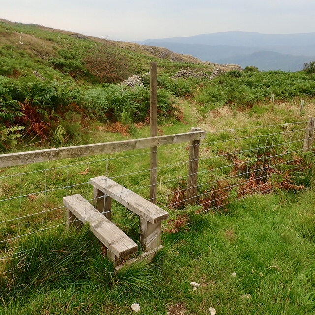
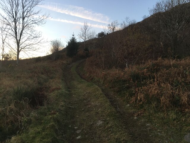
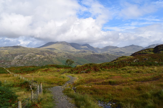
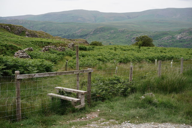
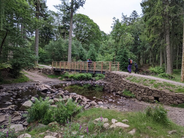
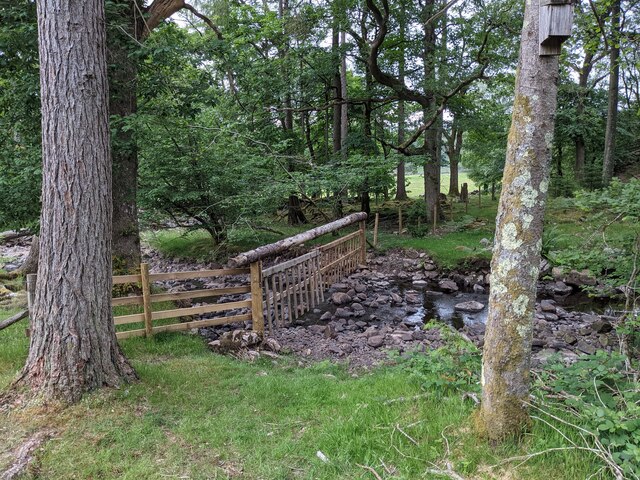
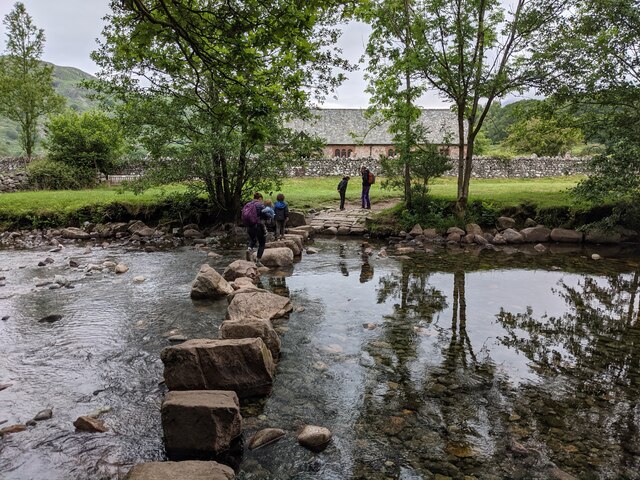
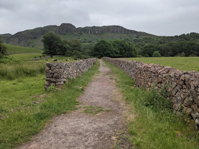
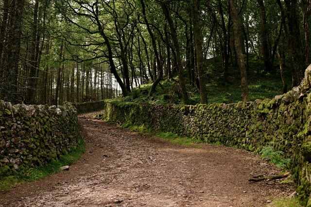
Access to Lower Birker Tarn is primarily via footpaths that wind through the picturesque landscape, offering visitors the opportunity to immerse themselves in the natural beauty of the area. The lake is a popular destination for nature walks, picnics, and birdwatching, attracting visitors from near and far.
Lower Birker Tarn is a hidden gem in the heart of Cumberland, offering a peaceful retreat for those seeking a connection with nature. Its tranquil waters, diverse flora and fauna, and stunning surroundings make it an idyllic location for anyone looking to escape the hustle and bustle of everyday life.
If you have any feedback on the listing, please let us know in the comments section below.
Lower Birker Tarn Images
Images are sourced within 2km of 54.384472/-3.2483278 or Grid Reference SD1999. Thanks to Geograph Open Source API. All images are credited.


Lower Birker Tarn is located at Grid Ref: SD1999 (Lat: 54.384472, Lng: -3.2483278)
Administrative County: Cumbria
District: Copeland
Police Authority: Cumbria
What 3 Words
///splinters.manual.vaccines. Near Seascale, Cumbria
Nearby Locations
Related Wikis

Eskdale, Cumbria
Eskdale is a glacial valley and civil parish in the western Lake District National Park in Cumbria, England. It forms part of the Borough of Copeland...

Woolpack walk
The Woolpack Walk is a challenge walk which starts and finishes at the Woolpack Inn, Eskdale in the Lake District of England. The route covers 30 km (18...

Green Crag
Green Crag is a fell in the English Lake District. It stands between Eskdale and the Duddon valley in the Southern Fells. == Topography == The headwaters...
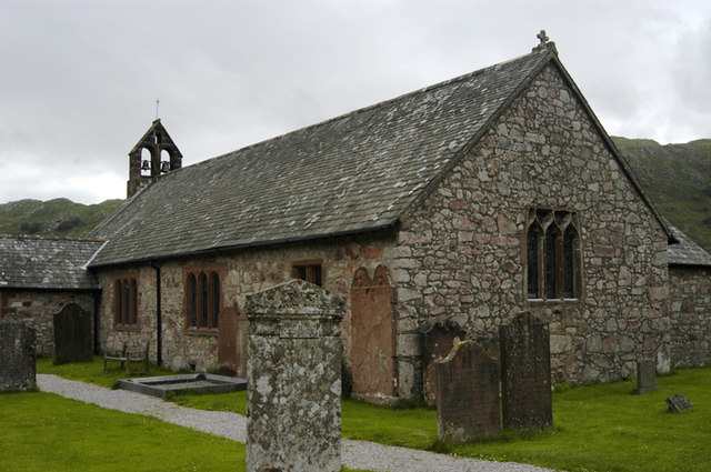
St Catherine's Church, Boot
St Catherine's Church is in the village of Boot, Cumbria, England. It is the Anglican parish church of Eskdale, Cumbria, and is in the deanery of Calder...
Birkerthwaite
Birkerthwaite is a village on Birker Fell, Eskdale, Cumbria, England. == See also == List of places in Cumbria == External links == Media related to Birkerthwaite...

Boot, Cumbria
Boot is a small village in Eskdale, Cumbria, in the Lake District of England. It forms part of the Borough of Copeland. There are two roads from which...

Dalegarth railway station
Dalegarth railway station is the easterly terminus of the 15-inch gauge Ravenglass and Eskdale Railway in Cumbria, England. It has a café and shop for...

Beckfoot railway station
Beckfoot railway station is a railway station on the 15" gauge Ravenglass & Eskdale Railway in Cumbria. It is situated within a 1⁄2 mile (0.80 km) walk...
Nearby Amenities
Located within 500m of 54.384472,-3.2483278Have you been to Lower Birker Tarn?
Leave your review of Lower Birker Tarn below (or comments, questions and feedback).