Coaly Knowe
Hill, Mountain in Peeblesshire
Scotland
Coaly Knowe
Coaly Knowe is a prominent hill located in Peeblesshire, a county in the southern part of Scotland. Rising to an elevation of approximately 348 meters (1,142 feet), it offers breathtaking views of the surrounding countryside and is a popular destination for outdoor enthusiasts and nature lovers.
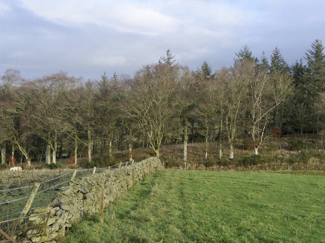
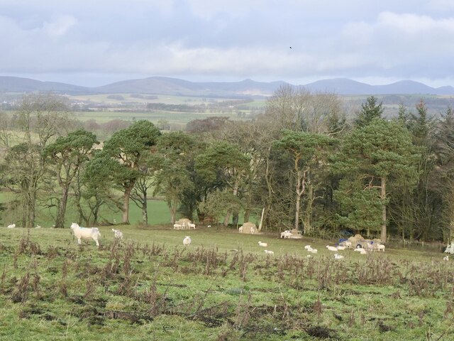
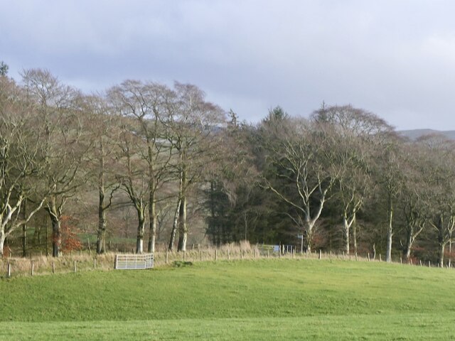
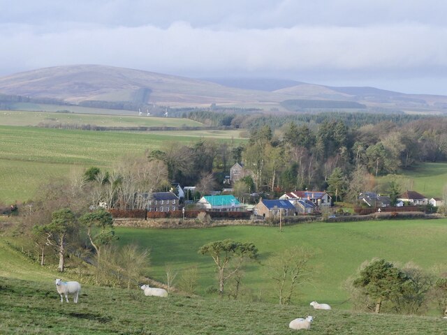
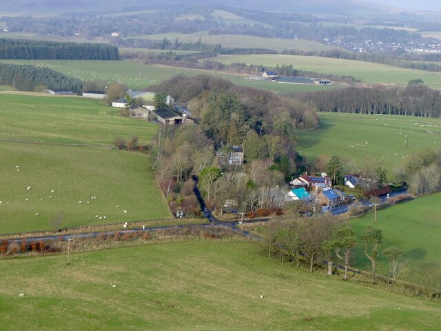
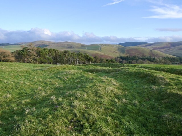
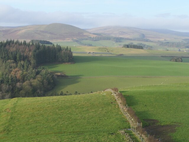
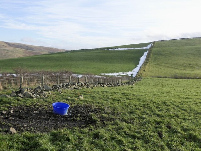
Situated about 2 kilometers northeast of the town of Innerleithen, Coaly Knowe is part of the rolling landscape of the Scottish Borders region. The hill is characterized by its gentle slopes and is covered in lush green vegetation, predominantly consisting of grasses, heather, and scattered trees. This diverse flora provides a habitat for numerous species of birds and small animals, making it a haven for wildlife enthusiasts.
Access to Coaly Knowe is relatively easy, with several well-marked paths leading to the summit. As visitors ascend the hill, they are treated to stunning panoramic views of the surrounding valleys, forests, and rivers. On clear days, it is even possible to see the distant peaks of the nearby Pentland Hills and Moorfoot Hills.
Coaly Knowe is also steeped in history, with evidence of ancient settlements and burial sites in the vicinity. These archaeological remains add an extra layer of intrigue to the hill, making it an attractive destination for those with an interest in Scotland's rich heritage.
Overall, Coaly Knowe is a picturesque hill in Peeblesshire, offering both natural beauty and historical significance. Whether one seeks a peaceful hike, a glimpse of wildlife, or a glimpse into the past, this hill provides a rewarding experience for all who visit.
If you have any feedback on the listing, please let us know in the comments section below.
Coaly Knowe Images
Images are sourced within 2km of 55.699417/-3.3702849 or Grid Reference NT1345. Thanks to Geograph Open Source API. All images are credited.


Coaly Knowe is located at Grid Ref: NT1345 (Lat: 55.699417, Lng: -3.3702849)
Unitary Authority: The Scottish Borders
Police Authority: The Lothians and Scottish Borders
What 3 Words
///commuting.snow.herbs. Near West Linton, Scottish Borders
Nearby Locations
Related Wikis
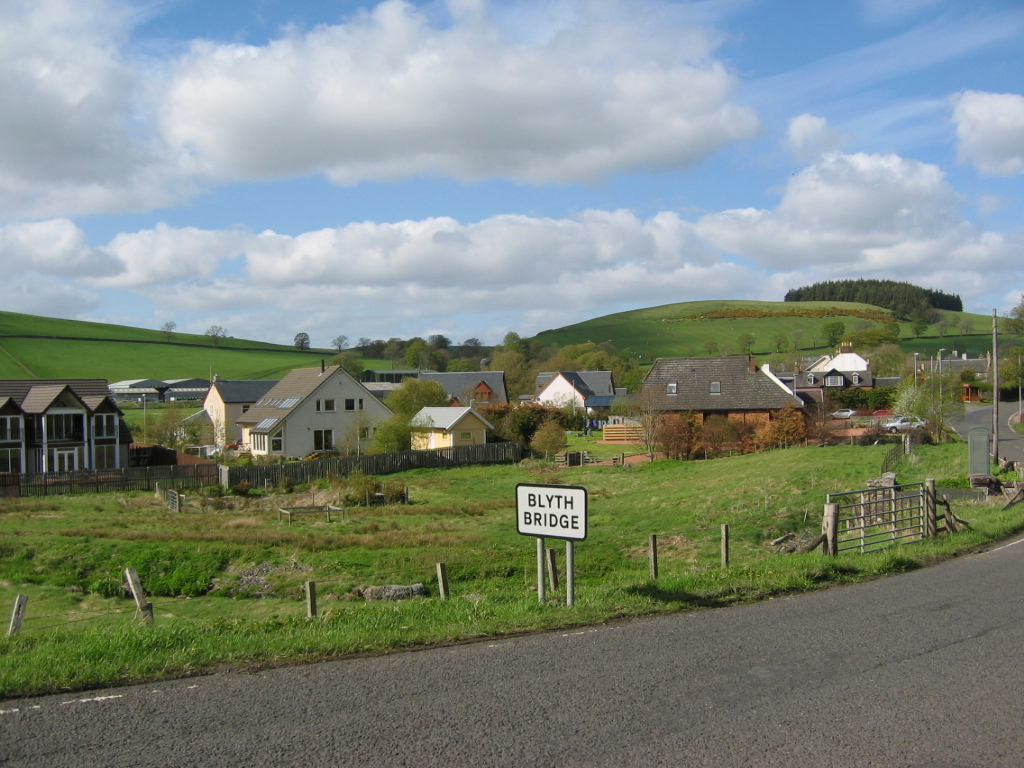
Blyth Bridge
Blyth Bridge is a small hamlet in the Scottish Borders area of Scotland, near to West Linton. It is located in a bend on the A701 which goes from Moffat...

Bordlands
Bordlands is a village in the Parish of Newlands in the Scottish Borders area of Scotland. The former name of Bordlands was Boreland. == See also == List...
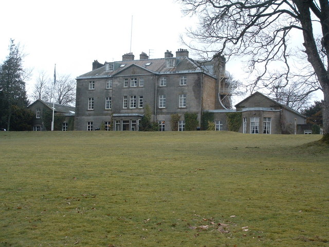
Castle Craig Hospital
Castle Craig Hospital is a private residential drug and alcohol rehabilitation clinic. It is located in Peeblesshire, Scotland. Castle Craig is an 18th...

Kirkurd
Kirkurd is a parish in Peeblesshire in the Scottish Borders situated 3 miles south-east of Dolphinton and 6 miles north-east of Broughton. Tarth Water...
Nearby Amenities
Located within 500m of 55.699417,-3.3702849Have you been to Coaly Knowe?
Leave your review of Coaly Knowe below (or comments, questions and feedback).