Mary's Knowe

Hill, Mountain in Lanarkshire

Scotland

Mary's Knowe

Black Mount A Pentland outlier, viewed from Henderland Hill.
Black Mount Credit: Richard Webb

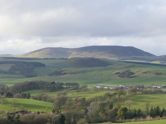
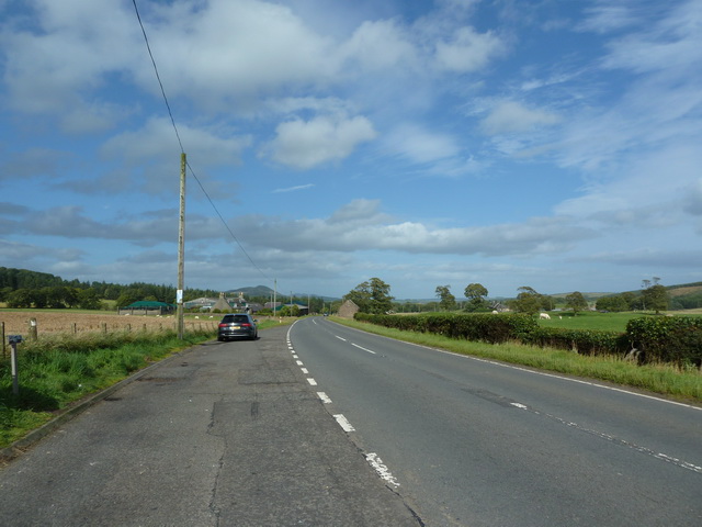
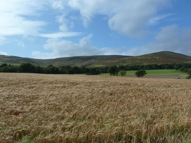
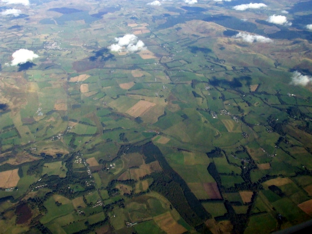
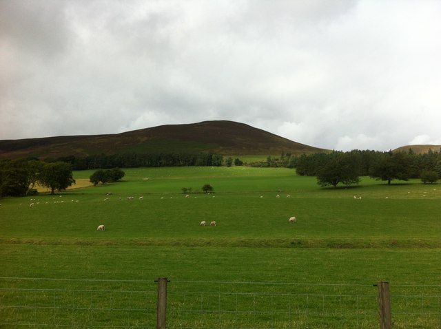
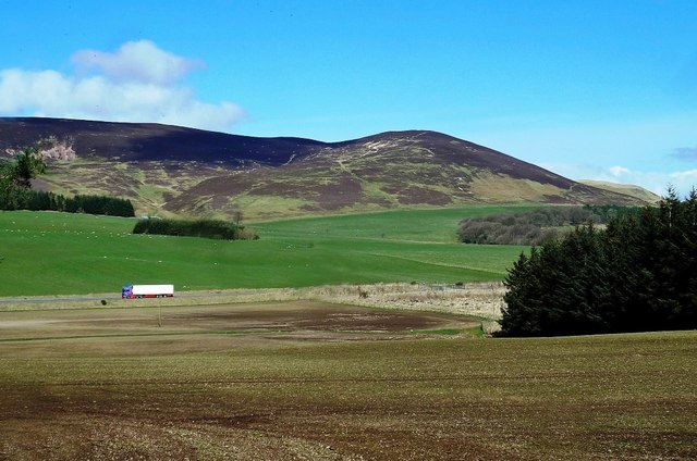
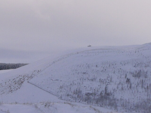
Mary's Knowe is a prominent hill located in Lanarkshire, Scotland. Situated in the southern part of the county, it stands at an elevation of approximately 380 meters (1,250 feet) above sea level. The hill is part of the Clyde Valley landscape and offers breathtaking views of the surrounding countryside.

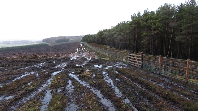
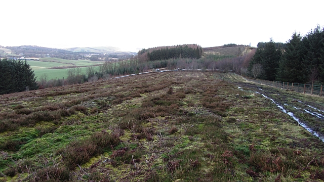
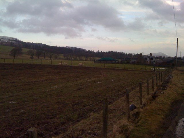
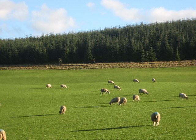
Covered in a rich tapestry of flora and fauna, Mary's Knowe boasts a diverse ecosystem. The hill is primarily composed of grassland, heath, and scattered woodlands. It supports a variety of plant species, including heather, gorse, and wildflowers, which add vibrant colors to the landscape throughout the year. The hill is also home to numerous bird species, such as skylarks and song thrushes, providing a pleasant soundscape for visitors.

In addition to its natural beauty, Mary's Knowe is steeped in historical significance. The hill is believed to have been named after Mary Queen of Scots, who, according to local folklore, used it as a vantage point to observe the movements of her troops during battles in the area. The hill's strategic location adds to its allure, allowing visitors to imagine the historical events that have unfolded in the region over the centuries.

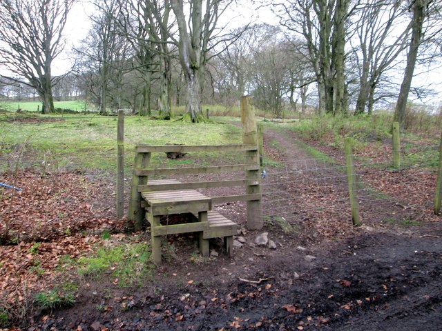
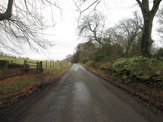
The surrounding area offers various recreational activities, including hiking and nature walks. A network of well-maintained trails allows visitors to explore the hill's slopes and enjoy the breathtaking views from the summit. Mary's Knowe is a popular destination for locals and tourists alike, drawing nature enthusiasts, history buffs, and those seeking tranquility in the midst of Lanarkshire's scenic beauty.

If you have any feedback on the listing, please let us know in the comments section below.
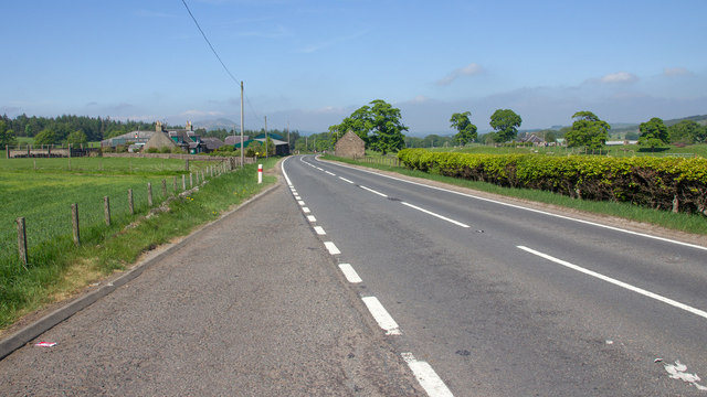
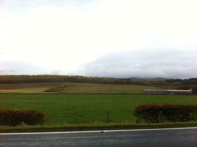
Mary's Knowe Images

Images are sourced within 2km of 55.697812/-3.4321713 or Grid Reference NT1045. Thanks to Geograph Open Source API. All images are credited.

Black Mount A Pentland outlier, viewed from Henderland Hill.
Black Mount
A Pentland outlier, viewed from Henderland Hill.
Broomy Law, northeast ridge The deep heather reported here: <a href="https://www.geograph.org.uk/photo/202152">NT0943 : Broomy Law, northeast ridge</a> has been burnt off and a series of muddy tracks run up the hill. The tracks are probably due to the recent building of a barbed wire fence between the moor and forest.
Broomy Law, northeast ridge
The deep heather reported here: NT0943 : Broomy Law, northeast ridge has been burnt off and a series of muddy tracks run up the hill. The tracks are probably due to the recent building of a barbed wire fence between the moor and forest.
Moorland northeast of Broomy Law The moor is ridged as if it was once ploughed for forestry. It has been wooded in the past.
Moorland northeast of Broomy Law
The moor is ridged as if it was once ploughed for forestry. It has been wooded in the past.
A702 southwest of The Bank
A702 southwest of The Bank Looking towards The Bank from the lay-by
A702 southwest of The Bank
Looking towards The Bank from the lay-by
Fields beneath Black Mount, southwest of The Bank
Dolphinton from the air Southhill Wood is prominent at the bottom of the photo, with Dolphinton in the lower left corner.
Dolphinton from the air
Southhill Wood is prominent at the bottom of the photo, with Dolphinton in the lower left corner.
Fields at The Bank Along the A702
Fields at The Bank
Along the A702
View towards The Bank Looking north east along the A702.
View towards The Bank
Looking north east along the A702.
Peaceful setting at Broomy Law wood Below Sandy Hill in Peeblesshire.
Peaceful setting at Broomy Law wood
Below Sandy Hill in Peeblesshire.
Fields by the A702 Black Mount is in the background.
Fields by the A702
Black Mount is in the background.
Field at Townhead
Field at Townhead
A stile north of Dolphinton Leading to a footpath beyond.
A stile north of Dolphinton
Leading to a footpath beyond.
Country road heading in the countryside of South Lanarkshire Heading north from Dolphinton to places like Walston, Dynsyre and Newbigging.
Country road heading in the countryside of South Lanarkshire
Heading north from Dolphinton to places like Walston, Dynsyre and Newbigging.
At Broomylaw Wood Timber operations were taking place in the wood on the other side of the A721.
At Broomylaw Wood
Timber operations were taking place in the wood on the other side of the A721.
Towards Black Mount Looking across good farmland with sheltering strips of woodland towards the impressive shape of Black Mount in the distance and in other squares. The lorry is on the A702, heading for Biggar.
Towards Black Mount
Looking across good farmland with sheltering strips of woodland towards the impressive shape of Black Mount in the distance and in other squares. The lorry is on the A702, heading for Biggar.
Young trees, Shaw Hill There is a small enclosure just below the summit.
Young trees, Shaw Hill
There is a small enclosure just below the summit.
A721 near Corsincon Wood
Show me another place!

Mary's Knowe is located at Grid Ref: NT1045 (Lat: 55.697812, Lng: -3.4321713)

Unitary Authority: South Lanarkshire

Police Authority: Lanarkshire

What 3 Words

///riskiest.limitless.amicably. Near West Linton, Scottish Borders

Related Wikis

Dolphinton

Dolphinton is a village and parish in Lanarkshire, Scotland. It is located 7 miles (11 km) northeast of Biggar, 11 miles (18 km) northeast of Carstairs...

Dolphinton (CR) railway station

Dolphinton railway station served the village of Dolphinton, Lanarkshire, Scotland, from 1867 to 1945 on the Dolphinton branch. == History == The station...

Dolphinton railway station

Dolphinton (North British Railway) railway station served the village of Dolphinton, Lanarkshire, Scotland from 1864 to 1933 on the Leadburn, Linton and...

Kirkurd

Kirkurd is a parish in Peeblesshire in the Scottish Borders situated 3 miles south-east of Dolphinton and 6 miles north-east of Broughton. Tarth Water...

Garvald, South Lanarkshire

Garvald is a small settlement on the boundary between the Scottish Borders and South Lanarkshire, Scotland. == References == The geographic coordinates...

Dunsyre railway station

Dunsyre railway station served the village of Dunsyre, South Lanarkshire, Scotland from 1867 to 1945 on the Dolphinton branch. == History == The station...
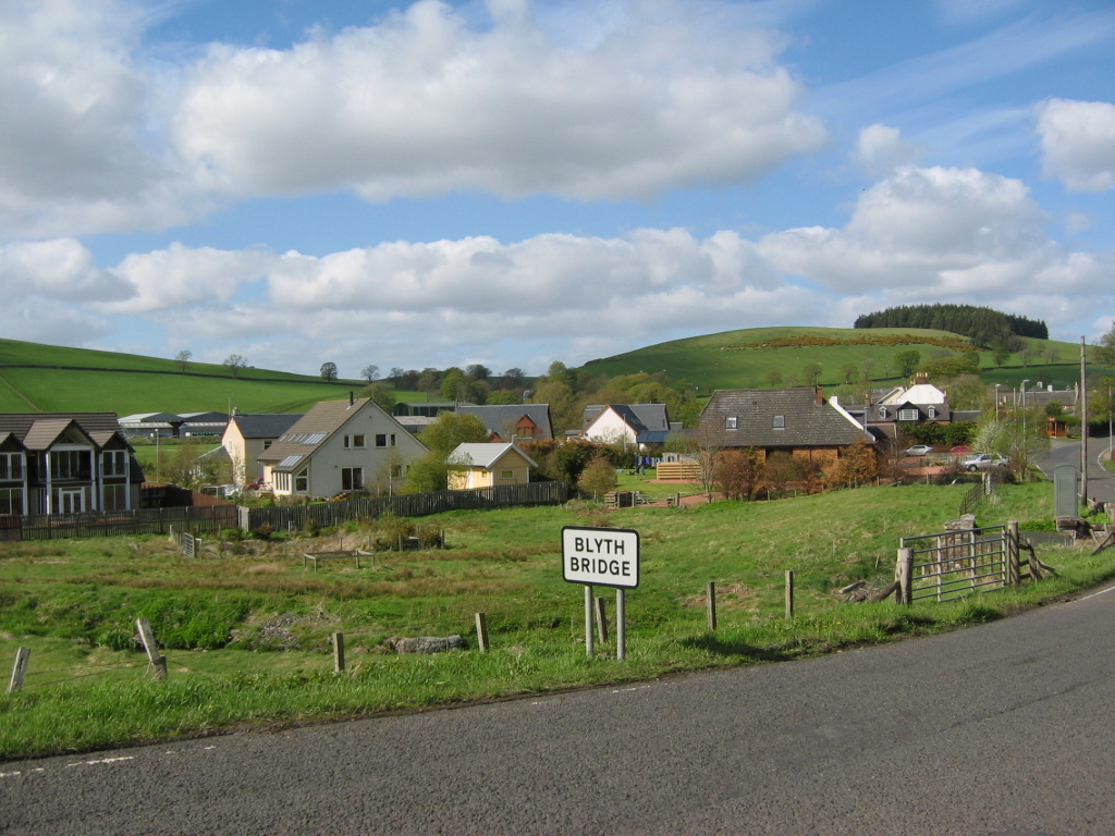
Blyth Bridge

Blyth Bridge is a small hamlet in the Scottish Borders area of Scotland, near to West Linton. It is located in a bend on the A701 which goes from Moffat...

Dunsyre

Dunsyre (Scottish Gaelic: Dùn Saghair) is a village in South Lanarkshire, Scotland. It is 10 kilometres (6 mi) from Carnwath. Dunsyre is associated with...

Nearby Amenities

Located within 500m of 55.697812,-3.4321713
Bus Stop
Hillside Gardens
Bus: yes
Naptan AtcoCode: 61501271
Naptan Bearing: SW
Naptan CommonName: Hillside Gardens
Naptan Indicator: opp
Naptan Landmark: Hillside Gardens
Naptan NaptanCode: 75232482
Naptan Street: A702
Public Transport: platform
Ref: 61501271
Source: NaPTAN
Lat/Long: 55.7006576/-3.4323105
Bus Stop
Hillside Gardens
Bus: yes
Naptan AtcoCode: 61501427
Naptan Bearing: NE
Naptan CommonName: Hillside Gardens
Naptan Indicator: at
Naptan Landmark: Hillside Gardens
Naptan NaptanCode: 75232394
Naptan Street: A702
Public Transport: platform
Ref: 61501427
Source: NaPTAN
Lat/Long: 55.7008509/-3.4322365
Noexit: yes
Lat/Long: 55.7010154/-3.4322495
Generator Method: wind_turbine
Generator Output Electricity: yes
Generator Source: wind
Generator Type: horizontal_axis
Power: generator
Lat/Long: 55.6957346/-3.4332785
Dolphinton
Direction: N
Traffic Sign: city_limit
Lat/Long: 55.6998892/-3.4335682
Noexit: yes
Lat/Long: 55.7009464/-3.4322472
Give Way
Direction: forward
Lat/Long: 55.700554/-3.4326215
Power: pole
Lat/Long: 55.6975448/-3.434806
Power: pole
Lat/Long: 55.6969548/-3.4353485
Power: pole
Lat/Long: 55.6963908/-3.4358783
Power: pole
Lat/Long: 55.6958387/-3.4364186
Power: pole
Lat/Long: 55.6951502/-3.436879
Power: pole
Lat/Long: 55.7003519/-3.4381562
Power: pole
Lat/Long: 55.6997796/-3.4373279
Power: pole
Lat/Long: 55.6992418/-3.4363208
Power: pole
Lat/Long: 55.6986861/-3.4353306
Power: pole
Lat/Long: 55.6985131/-3.4350236
The data included in this document is from www.openstreetmap.org. The data is made available under ODbL.

Have you been to Mary's Knowe?

Leave your review of Mary's Knowe below (or comments, questions and feedback).