Creag a' Bharrain
Hill, Mountain in Morayshire
Scotland
Creag a' Bharrain
Creag a' Bharrain is a prominent hill located in the county of Morayshire, Scotland. Standing at an elevation of approximately 460 meters (1,509 feet), it is part of the larger range known as the Grampian Mountains. The hill is situated near the village of Tomintoul, which lies within the Cairngorms National Park.
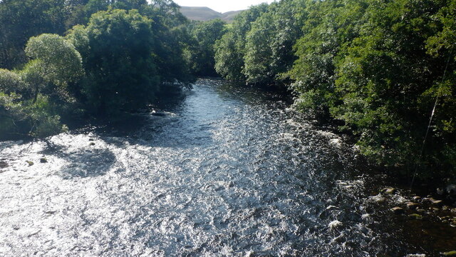
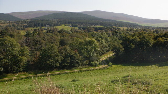
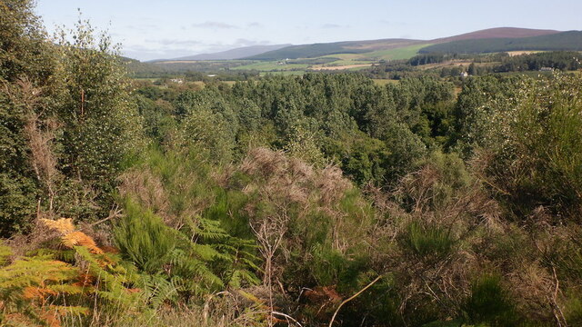
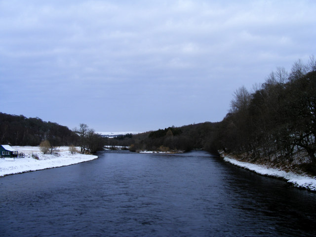
The slopes of Creag a' Bharrain are covered in heather and grasses, creating a picturesque landscape that attracts both hikers and nature enthusiasts. The hill offers breathtaking panoramic views of the surrounding countryside, including the nearby River Avon and the stunning Cairngorms.
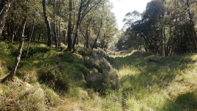
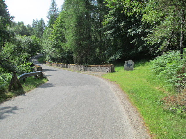
The summit of Creag a' Bharrain can be reached by following a well-defined path that leads through the hillside. The hike is of moderate difficulty, making it accessible to a wide range of outdoor enthusiasts. The trail provides a chance to spot various species of wildlife, including mountain hares, red deer, and a variety of birdlife.
The hill is also known for its historical significance, with remnants of ancient settlements and burial cairns scattered throughout the area. These archaeological sites offer a glimpse into the rich history of the region.
Creag a' Bharrain is a popular destination for outdoor activities such as hiking, hillwalking, and photography. Its location within the Cairngorms National Park ensures that visitors can enjoy the natural beauty of the Scottish Highlands while exploring this stunning hill.
If you have any feedback on the listing, please let us know in the comments section below.
Creag a' Bharrain Images
Images are sourced within 2km of 57.396967/-3.4974093 or Grid Reference NJ1035. Thanks to Geograph Open Source API. All images are credited.


Creag a' Bharrain is located at Grid Ref: NJ1035 (Lat: 57.396967, Lng: -3.4974093)
Unitary Authority: Highland
Police Authority: Highlands and Islands
What 3 Words
///mixing.risk.salutes. Near Grantown-on-Spey, Highland
Nearby Locations
Related Wikis

Advie
Advie (Scottish Gaelic: Àbhaidh) is a small village in Strathspey, in the Highland Council Area of Scotland. It lies to the south of the River Spey, and...

Advie railway station
Advie railway station served the village of Advie, Morayshire, in Scotland. == History == Opened by the Strathspey Railway (GNoSR), it was absorbed by...

Dalvey Farm Halt railway station
Dalvey Farm Halt railway station was one of four halts, Imperial Cottages, Gibley's Cottages, Dalvey Farm, and Ballifurth Farm, opened on the Speyside...

Tormore distillery
Tormore distillery is a Speyside single malt Scotch whisky distillery located approximately 1 km south of the River Spey. Its water source is the Allt...

Cragganmore distillery
Cragganmore distillery is a Scotch whisky distillery situated in the village of Ballindalloch in Banffshire, Scotland. == History == The distillery was...

Ballindalloch railway station
Ballindalloch railway station served the village of Ballindalloch, Banffshire, Scotland from 1863 to 1965 on the Strathspey Railway. == History == The...

Ballindalloch Railway Bridge
The Ballindalloch Railway Bridge is a former railway bridge on the crossing the River Spey at Ballindalloch in Moray, Scotland. Built in 1863 as a part...
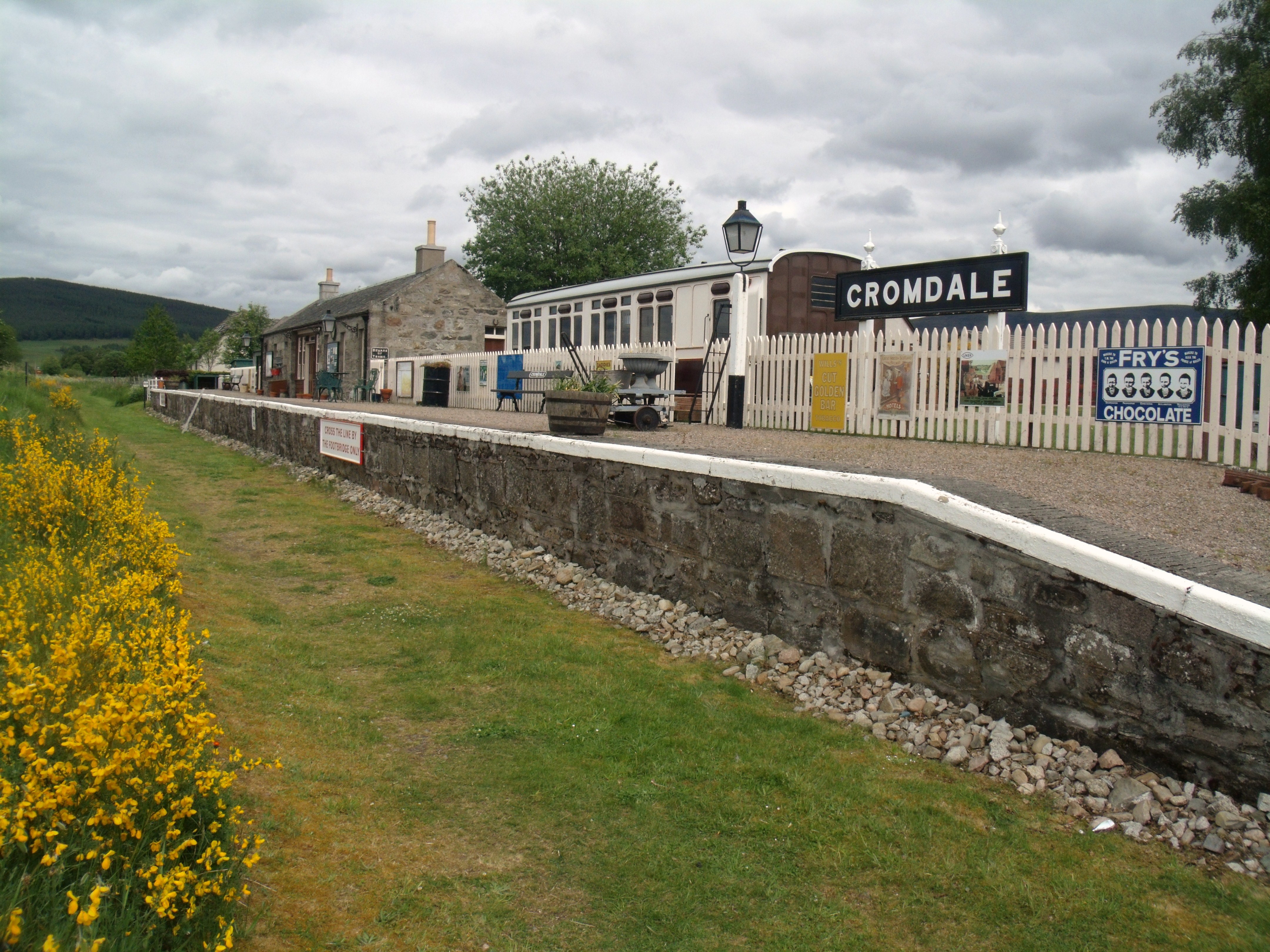
Cromdale railway station
Cromdale railway station served the village of Cromdale, Highland, in Scotland. == History == The station was opened by the Strathspey Railway (GNoSR)...
Nearby Amenities
Located within 500m of 57.396967,-3.4974093Have you been to Creag a' Bharrain?
Leave your review of Creag a' Bharrain below (or comments, questions and feedback).