Kiln Hill

Hill, Mountain in Lanarkshire

Scotland

Kiln Hill

Black Mount A Pentland outlier, viewed from Henderland Hill.
Black Mount Credit: Richard Webb

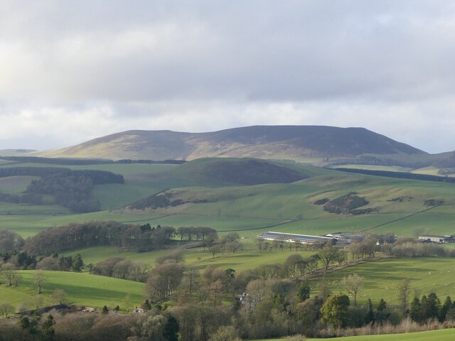
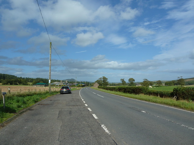
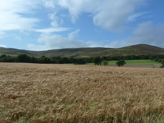
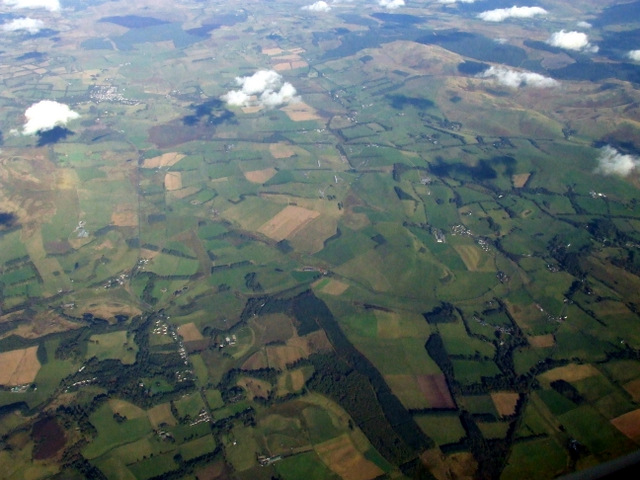
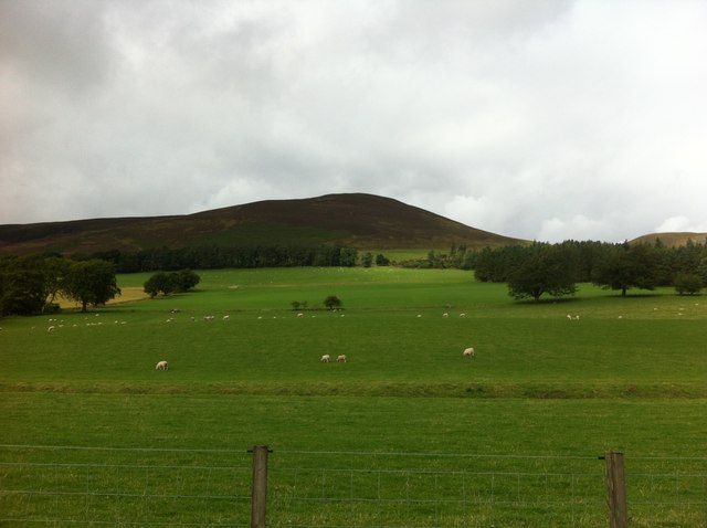
Kiln Hill is a prominent hill located in the region of Lanarkshire, Scotland. Rising to an elevation of approximately 365 meters (1,198 feet), it offers breathtaking panoramic views of the surrounding countryside. Situated in the southern part of Lanarkshire, Kiln Hill is a popular destination for hikers, nature enthusiasts, and those seeking a peaceful retreat.

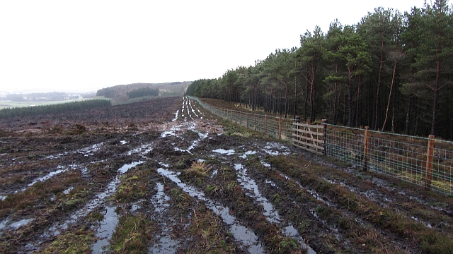
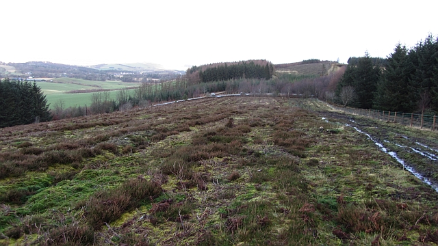
The hill is characterized by its gently sloping terrain, covered in lush green vegetation that varies with the seasons. It is predominantly composed of sandstone, which gives it a distinctive reddish-brown color. The hill's name is derived from the presence of lime kilns that were historically used to produce lime for fertilizing the fields in the area.

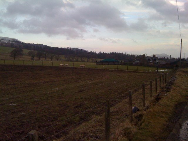
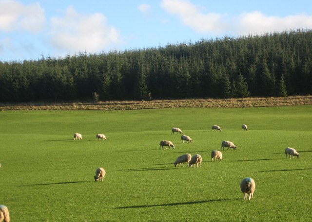
Kiln Hill boasts a diverse range of flora and fauna, making it a haven for wildlife enthusiasts. The hill is home to various species of birds, including buzzards, kestrels, and owls. Hikers may also encounter small mammals such as rabbits, foxes, and occasionally deer.

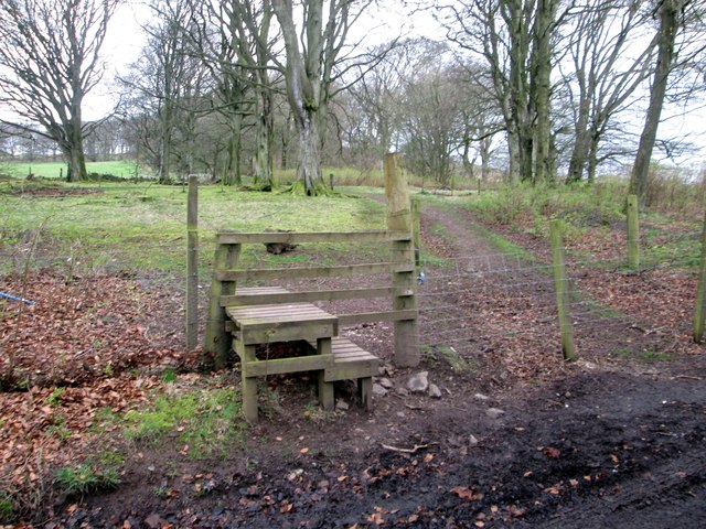
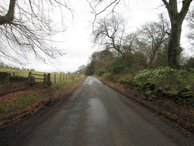
The hill offers several walking routes and trails, catering to different levels of fitness and experience. One popular path takes visitors through a mixture of woodlands, open fields, and heather-covered moorland. Along the way, walkers can enjoy the stunning views of the surrounding countryside, including nearby villages and the distant peaks of the Southern Uplands.

For those seeking adventure, Kiln Hill also provides opportunities for rock climbing and bouldering, with its sandstone cliffs providing challenging routes for climbers of varying abilities.

Overall, Kiln Hill is a captivating natural attraction in Lanarkshire, offering a tranquil escape and a chance to immerse oneself in the beauty of Scotland's landscape.

If you have any feedback on the listing, please let us know in the comments section below.

Kiln Hill Images

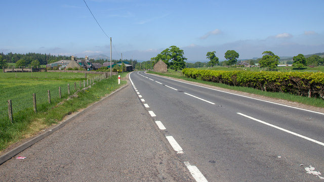
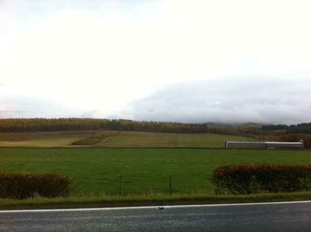
Images are sourced within 2km of 55.69584/-3.4333402 or Grid Reference NT1045. Thanks to Geograph Open Source API. All images are credited.

Black Mount A Pentland outlier, viewed from Henderland Hill.
Black Mount
A Pentland outlier, viewed from Henderland Hill.
Broomy Law, northeast ridge The deep heather reported here: <a href="https://www.geograph.org.uk/photo/202152">NT0943 : Broomy Law, northeast ridge</a> has been burnt off and a series of muddy tracks run up the hill. The tracks are probably due to the recent building of a barbed wire fence between the moor and forest.
Broomy Law, northeast ridge
The deep heather reported here: NT0943 : Broomy Law, northeast ridge has been burnt off and a series of muddy tracks run up the hill. The tracks are probably due to the recent building of a barbed wire fence between the moor and forest.
Moorland northeast of Broomy Law The moor is ridged as if it was once ploughed for forestry. It has been wooded in the past.
Moorland northeast of Broomy Law
The moor is ridged as if it was once ploughed for forestry. It has been wooded in the past.
Woodland on Broomy Law Conifer wood with a view towards The Mount. <a href="https://www.geograph.org.uk/photo/1629540">NT0942 : The Mount</a>
Woodland on Broomy Law
Conifer wood with a view towards The Mount. NT0942 : The Mount
A702 southwest of The Bank
A702 southwest of The Bank Looking towards The Bank from the lay-by
A702 southwest of The Bank
Looking towards The Bank from the lay-by
Fields beneath Black Mount, southwest of The Bank
Dolphinton from the air Southhill Wood is prominent at the bottom of the photo, with Dolphinton in the lower left corner.
Dolphinton from the air
Southhill Wood is prominent at the bottom of the photo, with Dolphinton in the lower left corner.
Fields at The Bank Along the A702
Fields at The Bank
Along the A702
View towards The Bank Looking north east along the A702.
View towards The Bank
Looking north east along the A702.
Peaceful setting at Broomy Law wood Below Sandy Hill in Peeblesshire.
Peaceful setting at Broomy Law wood
Below Sandy Hill in Peeblesshire.
Fields by the A702 Black Mount is in the background.
Fields by the A702
Black Mount is in the background.
Field at Townhead
Field at Townhead
Crossing of A721 and A702
A stile north of Dolphinton Leading to a footpath beyond.
A stile north of Dolphinton
Leading to a footpath beyond.
Country road heading in the countryside of South Lanarkshire Heading north from Dolphinton to places like Walston, Dynsyre and Newbigging.
Country road heading in the countryside of South Lanarkshire
Heading north from Dolphinton to places like Walston, Dynsyre and Newbigging.
Tearoom at Melbourne The 'Big Red Barn' tearoom at the junction of the A702 and A721. The barn itself is out of shot to the left.
Tearoom at Melbourne
The 'Big Red Barn' tearoom at the junction of the A702 and A721. The barn itself is out of shot to the left.
Road junction on the A702 The A721 (L-R) is an E-W route connecting the A72 and A70, while the A702 continues NE to Edinburgh. Seen from the car park of the Big Red Barn tearoom.

Note that the road sign is in error - it is 'Netherurd House'.
Road junction on the A702
The A721 (L-R) is an E-W route connecting the A72 and A70, while the A702 continues NE to Edinburgh. Seen from the car park of the Big Red Barn tearoom. Note that the road sign is in error - it is 'Netherurd House'.
Show me another place!

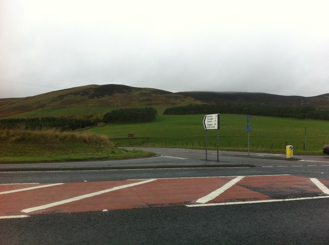
Kiln Hill is located at Grid Ref: NT1045 (Lat: 55.69584, Lng: -3.4333402)

Unitary Authority: South Lanarkshire

Police Authority: Lanarkshire

What 3 Words

///guard.twitches.decimal. Near West Linton, Scottish Borders

Related Wikis

Dolphinton

Dolphinton is a village and parish in Lanarkshire, Scotland. It is located 7 miles (11 km) northeast of Biggar, 11 miles (18 km) northeast of Carstairs...

Dolphinton (CR) railway station

Dolphinton railway station served the village of Dolphinton, Lanarkshire, Scotland, from 1867 to 1945 on the Dolphinton branch. == History == The station...

Dolphinton railway station

Dolphinton (North British Railway) railway station served the village of Dolphinton, Lanarkshire, Scotland from 1864 to 1933 on the Leadburn, Linton and...

Kirkurd

Kirkurd is a parish in Peeblesshire in the Scottish Borders situated 3 miles south-east of Dolphinton and 6 miles north-east of Broughton. Tarth Water...

Nearby Amenities

Located within 500m of 55.69584,-3.4333402
Generator Method: wind_turbine
Generator Output Electricity: yes
Generator Source: wind
Generator Type: horizontal_axis
Power: generator
Lat/Long: 55.6957346/-3.4332785
Dolphinton
Direction: N
Traffic Sign: city_limit
Lat/Long: 55.6998892/-3.4335682
Power: pole
Lat/Long: 55.6975448/-3.434806
Power: pole
Lat/Long: 55.6969548/-3.4353485
Power: pole
Lat/Long: 55.6963908/-3.4358783
Power: pole
Lat/Long: 55.6958387/-3.4364186
Power: pole
Lat/Long: 55.6951502/-3.436879
Power: pole
Lat/Long: 55.694412/-3.437413
Power: pole
Lat/Long: 55.6937888/-3.4378734
Power: pole
Lat/Long: 55.6929664/-3.4384453
Power: pole
Lat/Long: 55.6941063/-3.438542
Power: pole
Lat/Long: 55.6940435/-3.4393976
Power: pole
Lat/Long: 55.6939713/-3.4403711
Power: pole
Lat/Long: 55.6992418/-3.4363208
Power: pole
Lat/Long: 55.6986861/-3.4353306
Power: pole
Lat/Long: 55.6985131/-3.4350236
The data included in this document is from www.openstreetmap.org. The data is made available under ODbL.

Have you been to Kiln Hill?

Leave your review of Kiln Hill below (or comments, questions and feedback).