Crook Head

Hill, Mountain in Peeblesshire

Scotland

Crook Head

Wind farm road, Kingledores The glen above Kingledores is a very attractive place. Getting into it is easy with the newish road, but there is a bit of a climb over the spur of Nicklebeard Hill and all height gained gets lost immediately.
Wind farm road, Kingledores Credit: Richard Webb

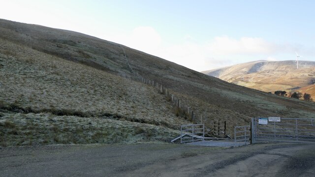
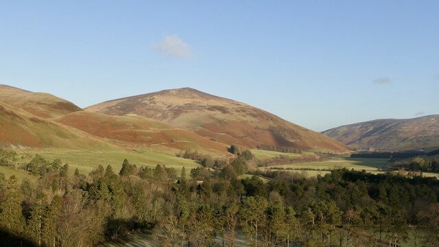
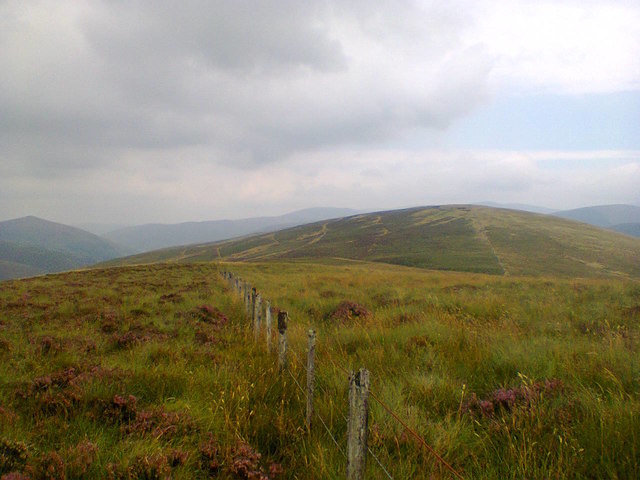
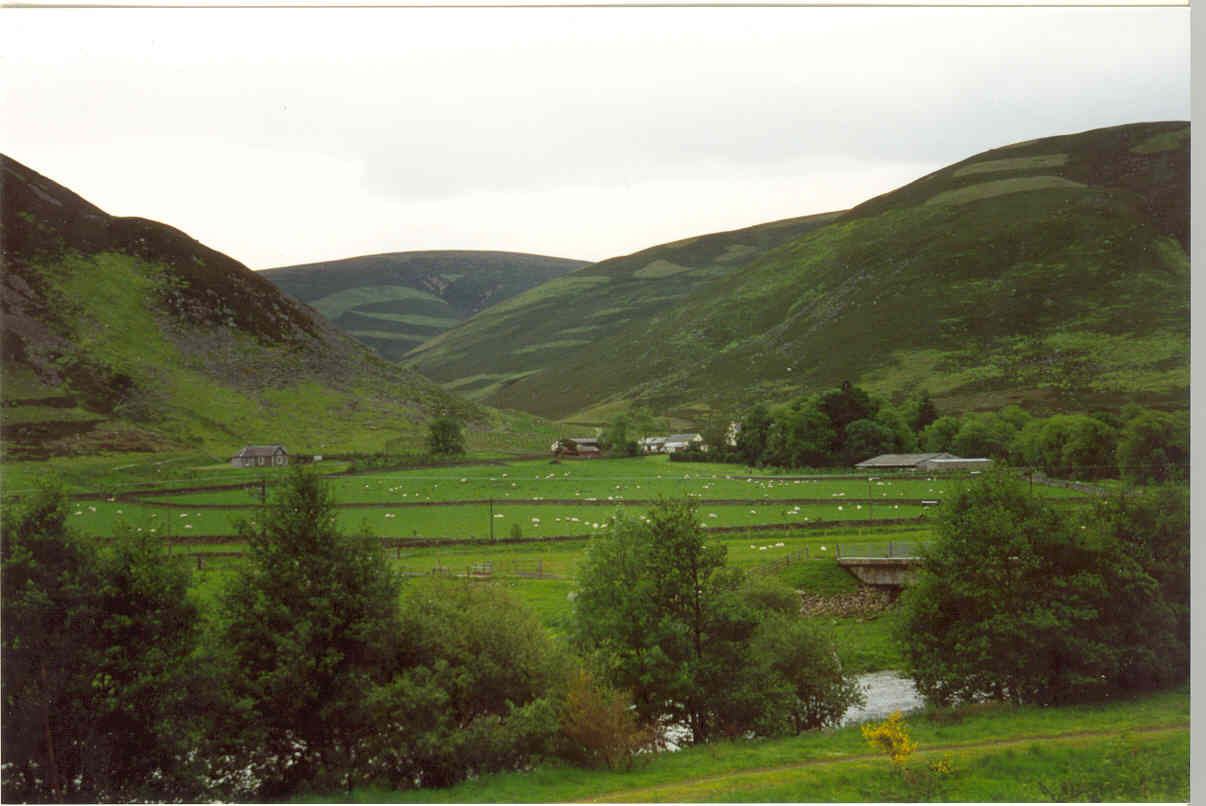
Crook Head is a prominent hill located in Peeblesshire, in the southern region of Scotland. With an elevation of approximately 427 meters (1,401 feet), it is considered a notable landmark in the area. The hill is situated within the beautiful scenery of the Scottish Borders, offering breathtaking panoramic views of the surrounding countryside.

Crook Head is characterized by its distinct shape, featuring a gently sloping terrain that gradually rises to a rounded summit. The hill is primarily composed of sedimentary rocks, including sandstone and shale, which have been shaped by glacial activity over thousands of years. Its geological composition adds to its natural charm and allure.

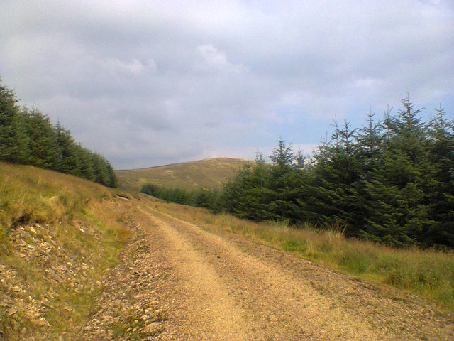
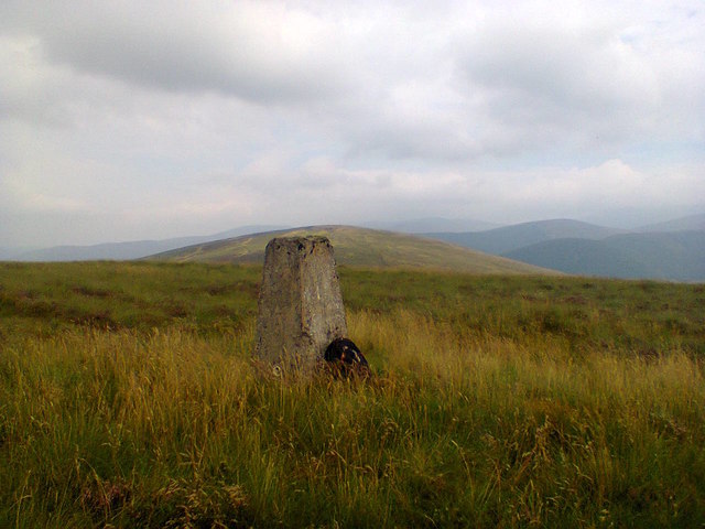
As an outdoor enthusiast's paradise, Crook Head offers various recreational activities for visitors to enjoy. The hill is a popular destination for hikers and walkers, who can explore the numerous trails and paths that crisscross its slopes. The well-maintained paths provide an opportunity to immerse oneself in the stunning landscapes, abundant wildlife, and diverse plant life that thrive in the region.

In addition to its natural beauty, Crook Head has historical significance as well. The area is dotted with remnants of ancient settlements, including burial cairns and stone circles, offering a glimpse into the rich cultural heritage of the region.

Crook Head's accessibility, coupled with its scenic vistas and cultural importance, make it an attractive destination for both locals and tourists seeking a peaceful retreat or an adventurous hike. Whether one is an avid outdoor enthusiast or simply seeking a tranquil escape, Crook Head offers a captivating experience in the heart of Peeblesshire.

If you have any feedback on the listing, please let us know in the comments section below.
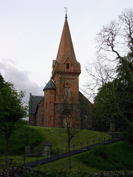
Crook Head Images

Images are sourced within 2km of 55.524895/-3.4271167 or Grid Reference NT1026. Thanks to Geograph Open Source API. All images are credited.

Wind farm road, Kingledores The glen above Kingledores is a very attractive place. Getting into it is easy with the newish road, but there is a bit of a climb over the spur of Nicklebeard Hill and all height gained gets lost immediately.
Wind farm road, Kingledores
The glen above Kingledores is a very attractive place. Getting into it is easy with the newish road, but there is a bit of a climb over the spur of Nicklebeard Hill and all height gained gets lost immediately.
Woodland around Kingledores View down Tweeddale towards Worm Hill over the woodlands around Kingledores. Taken from the high point of the wind farm road which bypasses the house and farm.
Woodland around Kingledores
View down Tweeddale towards Worm Hill over the woodlands around Kingledores. Taken from the high point of the wind farm road which bypasses the house and farm.
Tweeddale near Patervan A large part of the plantation had recently been harvested, the clear fell was just over the skyline.
Tweeddale near Patervan
A large part of the plantation had recently been harvested, the clear fell was just over the skyline.
Tweeddale near Polmood
A701, Tweeddale View from near Kingledores towards Worm Hill.
A701, Tweeddale
View from near Kingledores towards Worm Hill.
Old Explosives Store Old concrete magazine, for the Talla pipeline.
Photo taken on the 3rd January 2022.
Old Explosives Store
Old concrete magazine, for the Talla pipeline. Photo taken on the 3rd January 2022.
The soon-to-be Wee Crook 'The Wee Crook Cafe/Bistro opening Spring 2022' promises a sign on the A701 by the historic Crook Inn in Tweeddale. I presume this will be it, and it is good to see some positive development here.
The soon-to-be Wee Crook
'The Wee Crook Cafe/Bistro opening Spring 2022' promises a sign on the A701 by the historic Crook Inn in Tweeddale. I presume this will be it, and it is good to see some positive development here.
Sign at the Crook Inn Promising news, a notice suggesting that travellers will soon be able to break their journey at the Crook Inn - watch this space <a href="https://www.geograph.org.uk/photo/7158714">NT1126 : The soon-to-be Wee Crook</a>.
Sign at the Crook Inn
Promising news, a notice suggesting that travellers will soon be able to break their journey at the Crook Inn - watch this space NT1126 : The soon-to-be Wee Crook.
The Crook Inn Work continues to resurrect the historic Inn.
The Crook Inn
Work continues to resurrect the historic Inn.
The Crook Inn Work continues to resurrect the historic Inn. The notice on the fence is advertising Tweedsmuir Rhubarb Fest, 5 June, 2022 <span class="nowrap"><a title="https://www.tweedsmuir.scot/event/rhubarb-festival/" rel="nofollow ugc noopener" href="https://www.tweedsmuir.scot/event/rhubarb-festival/">Link</a><img style="margin-left:2px;" alt="External link" title="External link - shift click to open in new window" src="https://s1.geograph.org.uk/img/external.png" width="10" height="10"/></span> and <span class="nowrap"><a title="https://www.tweedsmuir.scot/?msclkid=b7075e47c70011eca0f6f9e4bd95a72f" rel="nofollow ugc noopener" href="https://www.tweedsmuir.scot/?msclkid=b7075e47c70011eca0f6f9e4bd95a72f">Link</a><img style="margin-left:2px;" alt="External link" title="External link - shift click to open in new window" src="https://s1.geograph.org.uk/img/external.png" width="10" height="10"/></span> .
The Crook Inn
Work continues to resurrect the historic Inn. The notice on the fence is advertising Tweedsmuir Rhubarb Fest, 5 June, 2022 LinkExternal link and LinkExternal link .
A701, Tweedsmuir
A701, Tweedsmuir
New forest road, Tweedsmuir A road is being built up to the plantations that are going in on Nether Oliver Dod.
New forest road, Tweedsmuir
A road is being built up to the plantations that are going in on Nether Oliver Dod.
The Crook Inn Little change from a year ago <a href="https://www.geograph.org.uk/photo/7158724">NT1126 : The Crook Inn</a>, apart from the removal of the name from the gable.
The Crook Inn
Little change from a year ago NT1126 : The Crook Inn, apart from the removal of the name from the gable.
Word Cloud at the Crook Inn Names and words of local relevance currently decorate this restoration project.
Word Cloud at the Crook Inn
Names and words of local relevance currently decorate this restoration project.
Track leading to Upper Oliver Dod Neighbouring hill Nether Oliver Dod can be seen in the distance.
Track leading to Upper Oliver Dod
Neighbouring hill Nether Oliver Dod can be seen in the distance.
Summit of Upper Oliver Dod Trig pillar on the hilltop with the upper slopes of Nether Oliver Dod in the distance.
Summit of Upper Oliver Dod
Trig pillar on the hilltop with the upper slopes of Nether Oliver Dod in the distance.
Towards Nether Oliver Dod Hill fence eventually leads up and over the summit of Nether Oliver Dod. The terrain here is a tough mixture of heather and tussock grass.
Towards Nether Oliver Dod
Hill fence eventually leads up and over the summit of Nether Oliver Dod. The terrain here is a tough mixture of heather and tussock grass.
Kingledores Burn & Kingle Rig Windfarm View down the valley of the Kingledores Burn and the Kingle Rig windfarm from the old path over from Tweedsmuir. The white house is called Hopehead. I have always wondered what the correct pronunciation of Kingledores is; King-le-dores or Kingle-dores or maybe Kin-Gledores?
Kingledores Burn & Kingle Rig Windfarm
View down the valley of the Kingledores Burn and the Kingle Rig windfarm from the old path over from Tweedsmuir. The white house is called Hopehead. I have always wondered what the correct pronunciation of Kingledores is; King-le-dores or Kingle-dores or maybe Kin-Gledores?
Show me another place!

Crook Head is located at Grid Ref: NT1026 (Lat: 55.524895, Lng: -3.4271167)

Unitary Authority: The Scottish Borders

Police Authority: The Lothians and Scottish Borders

What 3 Words

///dignitary.claim.bouncing. Near Biggar, South Lanarkshire

Nearby Locations

Crook Hill Crook Head

Related Wikis

Crook Inn

The Crook Inn is an inn in the Scottish Borders, near the village of Tweedsmuir on the A701 road between Broughton and Moffat. It is one of many claimants...

A701 road

The A701 is a major road in Scotland that runs from Dumfries to Edinburgh. == Route == The A701 leaves Dumfries and travels north to meet the A74(M) east...

Oliver Castle

Oliver Castle was a medieval tower house, located in upper Tweedsdale in the Scottish Borders. The site of the hillfort known as Oliver Castle is to the...

Polmood

Polmood is a small settlement in southern Scotland near Tweedsmuir in the Scottish Borders, in the valley of the River Tweed. Polmood was for many centuries...

Tweedsmuir

Tweedsmuir (Scottish Gaelic: Sliabh Thuaidh) is a village and civil parish in Tweeddale, the Scottish Borders Council district, southeastern Scotland....

Menzion

Menzion, sometimes Minzion is a small settlement in southern Scotland near Tweedsmuir in the Scottish Borders, in the valley of the River Tweed. ��2...

Victoria Lodge railway station

Victoria Lodge railway station served the village of Tweedsmuir, Scottish Borders, Scotland from 1897 to 1905 on the Symington, Biggar and Broughton Railway...

Stanhope, Peeblesshire

Stanhope is a small settlement in the Scottish Borders region. It is situated in the parish of Drumelzier in Peeblesshire, in the valley of the River...

Nearby Amenities

Located within 500m of 55.524895,-3.4271167
Nether Oliver Dod
Ele: 510
Ele Ft: 1673
Natural: peak
Lat/Long: 55.5206637/-3.4293665
The data included in this document is from www.openstreetmap.org. The data is made available under ODbL.

Have you been to Crook Head?

Leave your review of Crook Head below (or comments, questions and feedback).