Southhill Wood
Wood, Forest in Lanarkshire
Scotland
Southhill Wood
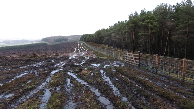
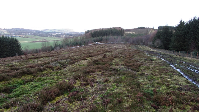
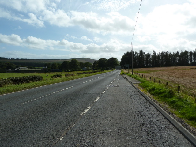
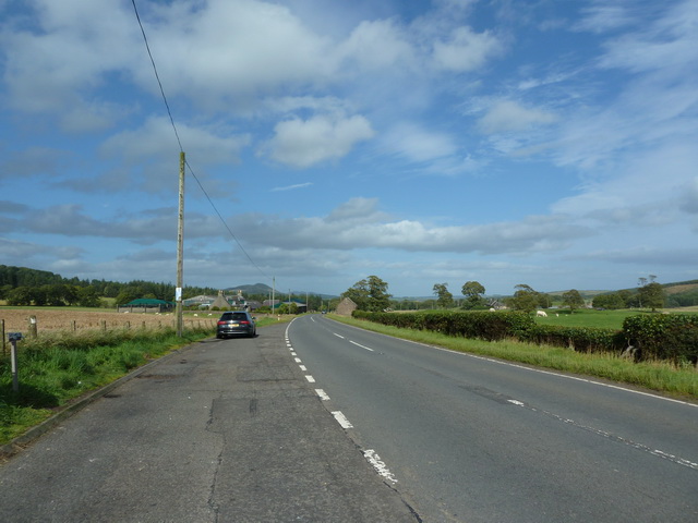
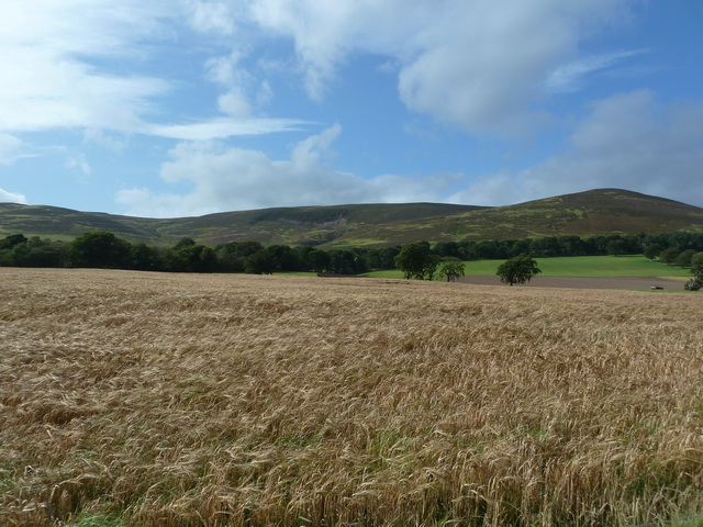
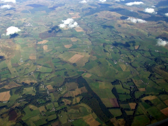
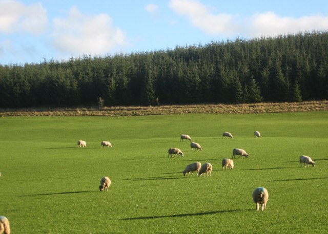
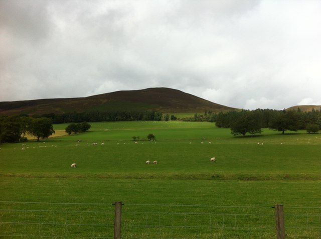
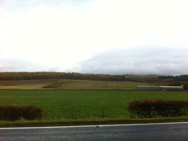
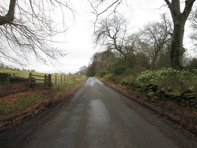
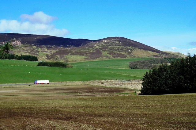
Southhill Wood is a picturesque forest located in Lanarkshire, Scotland. Spanning across a vast area, this woodland is known for its natural beauty and diverse ecosystem. It is a popular destination for locals and tourists alike, seeking to immerse themselves in the tranquility of nature.
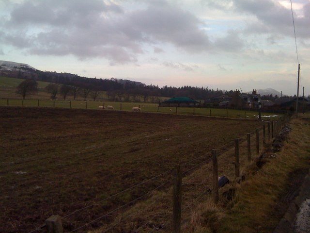
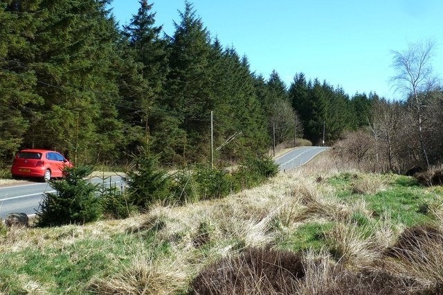
The woodland is home to a variety of tree species, including oak, beech, and birch, creating a stunning display of colors throughout the seasons. The dense vegetation provides a haven for numerous wildlife species, such as deer, foxes, and a variety of bird species. Birdwatchers can often spot rare species, adding to the allure of this woodland.
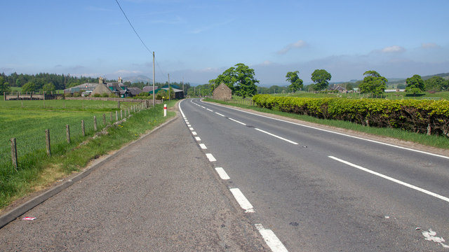
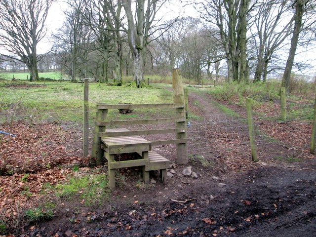
Visitors can explore the forest through a network of well-maintained trails, allowing them to fully appreciate the stunning surroundings. These paths cater to different levels of hikers, from leisurely strollers to more experienced adventurers. Along the way, hikers may come across babbling brooks and peaceful ponds, adding to the serene atmosphere.
Southhill Wood offers more than just natural beauty. It also provides recreational facilities, such as picnic areas and designated camping spots, making it an ideal destination for a day trip or an overnight stay. The forest is well-equipped, ensuring visitors have a pleasant and comfortable experience.
Whether it's for a leisurely stroll, a birdwatching expedition, or simply seeking solace in nature, Southhill Wood in Lanarkshire is a captivating woodland that offers a rejuvenating escape from the hustle and bustle of everyday life.
If you have any feedback on the listing, please let us know in the comments section below.
Southhill Wood Images
Images are sourced within 2km of 55.691881/-3.4252408 or Grid Reference NT1045. Thanks to Geograph Open Source API. All images are credited.


Southhill Wood is located at Grid Ref: NT1045 (Lat: 55.691881, Lng: -3.4252408)
Unitary Authority: South Lanarkshire
Police Authority: Lanarkshire
What 3 Words
///spend.wedge.portfolio. Near West Linton, Scottish Borders
Nearby Locations
Related Wikis

Dolphinton
Dolphinton is a village and parish in Lanarkshire, Scotland. It is located 7 miles (11 km) northeast of Biggar, 11 miles (18 km) northeast of Carstairs...

Kirkurd
Kirkurd is a parish in Peeblesshire in the Scottish Borders situated 3 miles south-east of Dolphinton and 6 miles north-east of Broughton. Tarth Water...
Dolphinton (CR) railway station
Dolphinton railway station served the village of Dolphinton, Lanarkshire, Scotland, from 1867 to 1945 on the Dolphinton branch. == History == The station...
Dolphinton railway station
Dolphinton (North British Railway) railway station served the village of Dolphinton, Lanarkshire, Scotland from 1864 to 1933 on the Leadburn, Linton and...
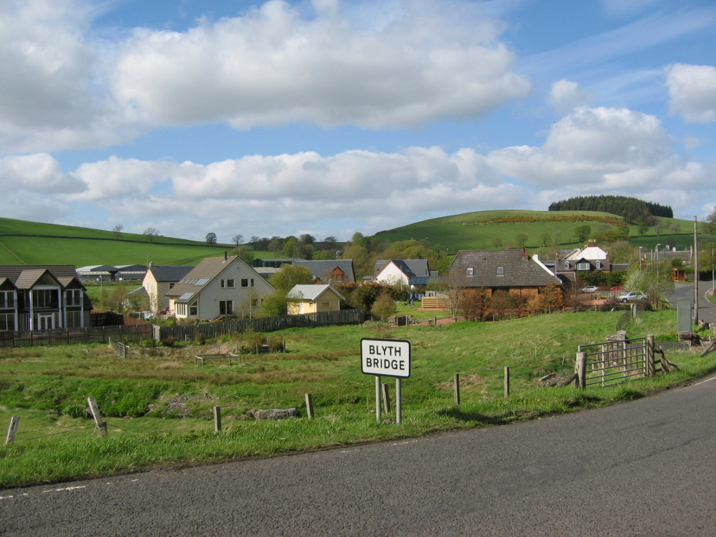
Blyth Bridge
Blyth Bridge is a small hamlet in the Scottish Borders area of Scotland, near to West Linton. It is located in a bend on the A701 which goes from Moffat...
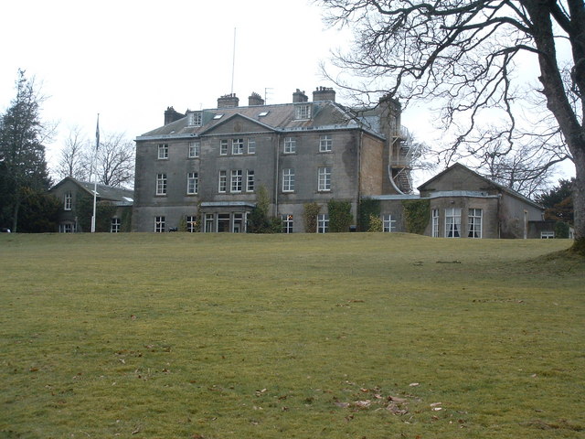
Castle Craig Hospital
Castle Craig Hospital is a private residential drug and alcohol rehabilitation clinic. It is located in Peeblesshire, Scotland. Castle Craig is an 18th...
Brownsbank
Brownsbank (Brounsbank in Scots) is a cottage close to the small settlement of Candymill to the north of Biggar in Scotland. It is best known as the former...
Garvald, South Lanarkshire
Garvald is a small settlement on the boundary between the Scottish Borders and South Lanarkshire, Scotland. == References == The geographic coordinates...
Have you been to Southhill Wood?
Leave your review of Southhill Wood below (or comments, questions and feedback).