Dipper Wood

Wood, Forest in Peeblesshire

Scotland

Dipper Wood

Track between Dunsyre and Garvald A good, firm track – at this point anyway.
Track between Dunsyre and Garvald Credit: Alan O'Dowd

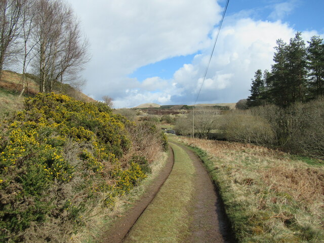
Dipper Wood, located in Peeblesshire, is a captivating forest that offers visitors a serene and picturesque experience in the heart of Scotland. Spanning approximately 100 acres, this woodland is known for its diverse flora and fauna, making it a popular destination for nature enthusiasts and wildlife lovers alike.

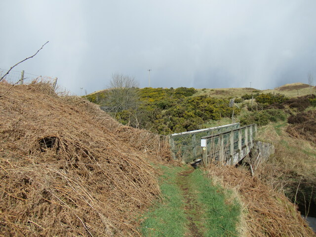
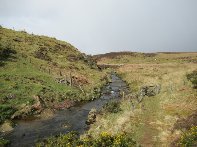
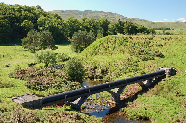
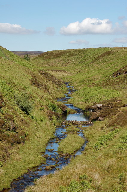
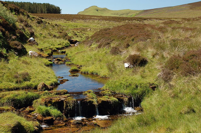
The wood gets its name from the dipper bird, a small, aquatic songbird that can often be spotted near the streams that meander through the forest. These streams, along with the presence of several ponds, contribute to the unique ecosystem found within Dipper Wood. The forest is predominantly made up of deciduous trees, such as oak, birch, and beech, which create a stunning display of colors during autumn.

Visitors to Dipper Wood can enjoy a range of activities, including walking trails that wind through the forest, offering breathtaking views of the surrounding landscape. The wood is also home to a variety of wildlife, including red squirrels, deer, and a wide array of bird species, making it a haven for birdwatchers.

The management of Dipper Wood ensures the preservation of its natural beauty and biodiversity. Conservation efforts are in place to protect the forest and its inhabitants, ensuring future generations can continue to enjoy this natural treasure.

Overall, Dipper Wood is a must-visit destination for those seeking tranquility and a chance to connect with nature. Its stunning scenery, diverse wildlife, and commitment to conservation make it a truly remarkable place to explore in Peeblesshire, Scotland.

If you have any feedback on the listing, please let us know in the comments section below.
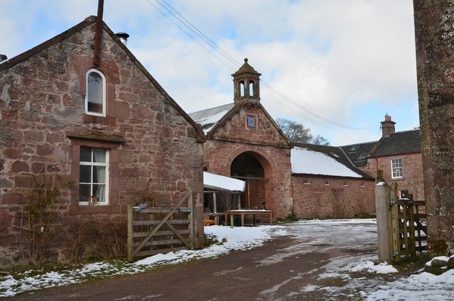
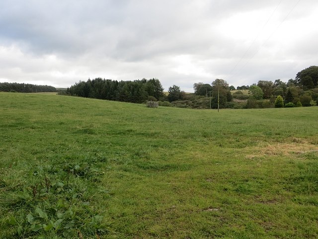
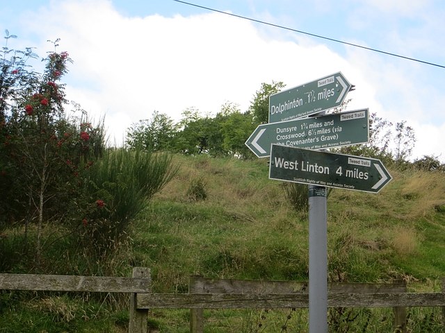
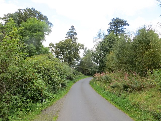
Dipper Wood Images

Images are sourced within 2km of 55.730676/-3.4266543 or Grid Reference NT1049. Thanks to Geograph Open Source API. All images are credited.

Track between Dunsyre and Garvald A good, firm track – at this point anyway.
Track between Dunsyre and Garvald
A good, firm track – at this point anyway.
Footbridge over the West Water A bridge carrying an old right of way on to the moors at the western end of the Pentland Hills.
Footbridge over the West Water
A bridge carrying an old right of way on to the moors at the western end of the Pentland Hills.
Path by the West Water An old right of way on to the moors at the western end of the Pentland Hills.
Path by the West Water
An old right of way on to the moors at the western end of the Pentland Hills.
Road at Garvald The road from Dolphinton approaching the home farm at Garvald.
Road at Garvald
The road from Dolphinton approaching the home farm at Garvald.
Pipeline crossing the West Water It looks to be a water pipe; an aqueduct is marked 4km to the west in NT0548.
Pipeline crossing the West Water
It looks to be a water pipe; an aqueduct is marked 4km to the west in NT0548.
West Water near Garvald Not to be confused with the other West Water about 3 km to the east. This burn drains southwards from the slopes of Mid Hill round to Black Law.
West Water near Garvald
Not to be confused with the other West Water about 3 km to the east. This burn drains southwards from the slopes of Mid Hill round to Black Law.
West Water A small cascade on this moorland burn which drains the heathery hills west of the Medwin Water. Not to be confused with the other West Water about 4 km to the east. Dunsyre Hill is in the background.
West Water
A small cascade on this moorland burn which drains the heathery hills west of the Medwin Water. Not to be confused with the other West Water about 4 km to the east. Dunsyre Hill is in the background.
Grazing lands near Garvald quarry To the east of Croft-an-Righ in South Lanarkshire.
Grazing lands near Garvald quarry
To the east of Croft-an-Righ in South Lanarkshire.
Country road heading for Croft-An-Righ With the towering White Hill straight ahead.
Country road heading for Croft-An-Righ
With the towering White Hill straight ahead.
Farm building at Garvald The opposite end of the building is shown in <a href="https://www.geograph.org.uk/photo/2280916">NT0949 : Old farm building with dovecot, Garvald</a>.
Farm building at Garvald
The opposite end of the building is shown in NT0949 : Old farm building with dovecot, Garvald.
Garvald Mains farm Attractive old sandstone buildings around the yard at Garvald.
Garvald Mains farm
Attractive old sandstone buildings around the yard at Garvald.
Field, Garvald
Field, Garvald
Signpost, Garvald The route across the Pentland Hills via the Covenanter's Grave meets the old road from West Linton.
Signpost, Garvald
The route across the Pentland Hills via the Covenanter's Grave meets the old road from West Linton.
The road to Garvald
The road to Garvald
Looking towards Mendick Hill Although the foreground is in this square, the view is dominated by Mendick Hill (451 metres) in a nearby square.
Looking towards Mendick Hill
Although the foreground is in this square, the view is dominated by Mendick Hill (451 metres) in a nearby square.
Gravel diggings below Mendick Hill Excavation from gravel deposits near the track to Dolphinton.
Gravel diggings below Mendick Hill
Excavation from gravel deposits near the track to Dolphinton.
Sheep and lambs, Ingraston The next generation enjoying sunny weather in fields near the A702 Edinburgh to Biggar road.
Sheep and lambs, Ingraston
The next generation enjoying sunny weather in fields near the A702 Edinburgh to Biggar road.
Track near Ingraston farm Black Mount is in the background.
Track near Ingraston farm
Black Mount is in the background.
Show me another place!

Dipper Wood is located at Grid Ref: NT1049 (Lat: 55.730676, Lng: -3.4266543)

Unitary Authority: The Scottish Borders

Police Authority: The Lothians and Scottish Borders

What 3 Words

///class.poodle.clenching. Near West Linton, Scottish Borders

Nearby Locations

Dipper Wood The Tongue

Related Wikis

Garvald, South Lanarkshire

Garvald is a small settlement on the boundary between the Scottish Borders and South Lanarkshire, Scotland. == References == The geographic coordinates...

Dolphinton (CR) railway station

Dolphinton railway station served the village of Dolphinton, Lanarkshire, Scotland, from 1867 to 1945 on the Dolphinton branch. == History == The station...

Dolphinton railway station

Dolphinton (North British Railway) railway station served the village of Dolphinton, Lanarkshire, Scotland from 1864 to 1933 on the Leadburn, Linton and...

Dolphinton

Dolphinton is a village and parish in Lanarkshire, Scotland. It is located 7 miles (11 km) northeast of Biggar, 11 miles (18 km) northeast of Carstairs...

West Water Reservoir

West Water Reservoir (sometimes Westwater Reservoir) is an artificial reservoir in the Pentland Hills, Scottish Borders, 3 kilometres (1.9 mi) west of...

Dunsyre railway station

Dunsyre railway station served the village of Dunsyre, South Lanarkshire, Scotland from 1867 to 1945 on the Dolphinton branch. == History == The station...

Dunsyre

Dunsyre (Scottish Gaelic: Dùn Saghair) is a village in South Lanarkshire, Scotland. It is 10 kilometres (6 mi) from Carnwath. Dunsyre is associated with...
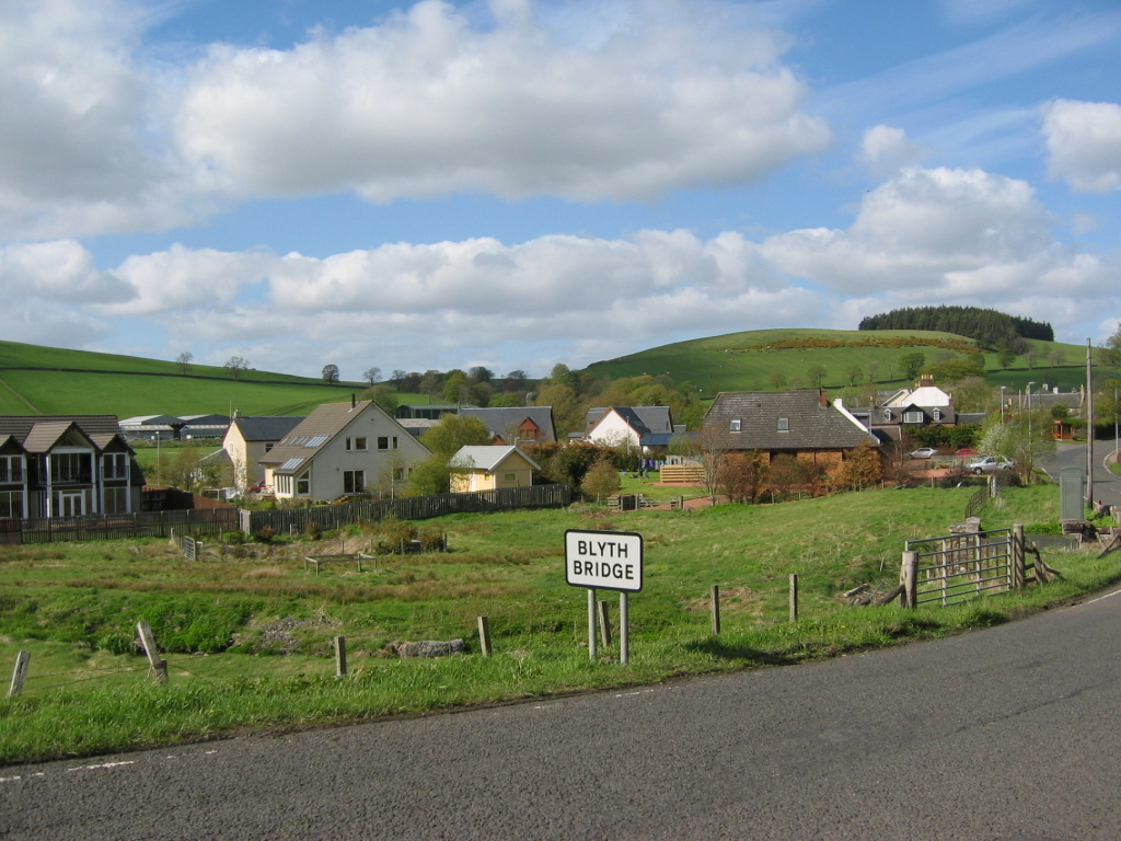
Blyth Bridge

Blyth Bridge is a small hamlet in the Scottish Borders area of Scotland, near to West Linton. It is located in a bend on the A701 which goes from Moffat...

Nearby Amenities

Located within 500m of 55.730676,-3.4266543
Power: pole
Lat/Long: 55.728484/-3.4330958
Power: pole
Lat/Long: 55.7309748/-3.4302008
Power: pole
Lat/Long: 55.7302692/-3.431048
Power: pole
Lat/Long: 55.7296288/-3.4317692
The data included in this document is from www.openstreetmap.org. The data is made available under ODbL.

Have you been to Dipper Wood?

Leave your review of Dipper Wood below (or comments, questions and feedback).