Aiky Hill

Hill, Mountain in Fife

Scotland

Aiky Hill

Burnside Bridge Crossing the Black Devon near Saline.
Burnside Bridge Credit: Richard Webb

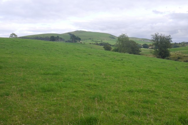
Aiky Hill, located in Fife, Scotland, is a prominent hill that stands at an elevation of approximately 193 meters (633 feet). It is situated in the western part of the region, near the village of Blairhall. Aiky Hill is part of the Ochil Hills range, which stretches from Stirling to Fife.

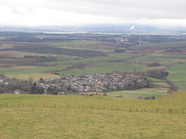
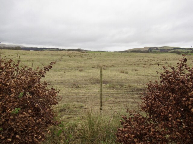
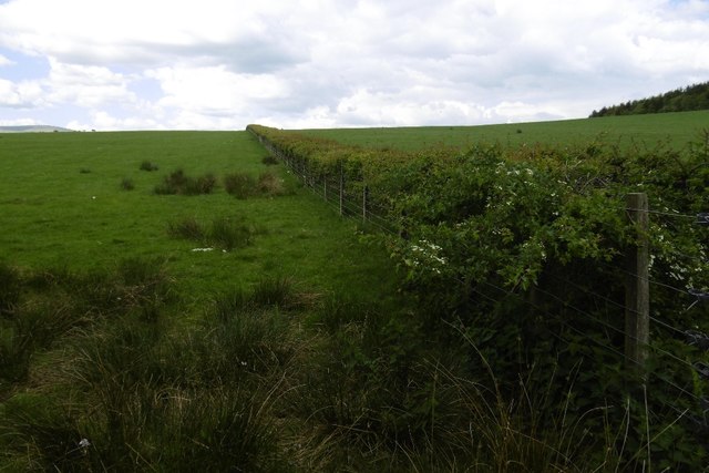
The hill's distinct shape and relatively low elevation make it a popular destination for outdoor enthusiasts, hikers, and nature lovers. From its summit, visitors are rewarded with breathtaking panoramic views of the surrounding countryside, including the nearby Loch Fitty and the Firth of Forth.

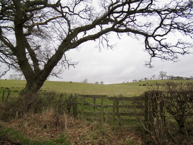
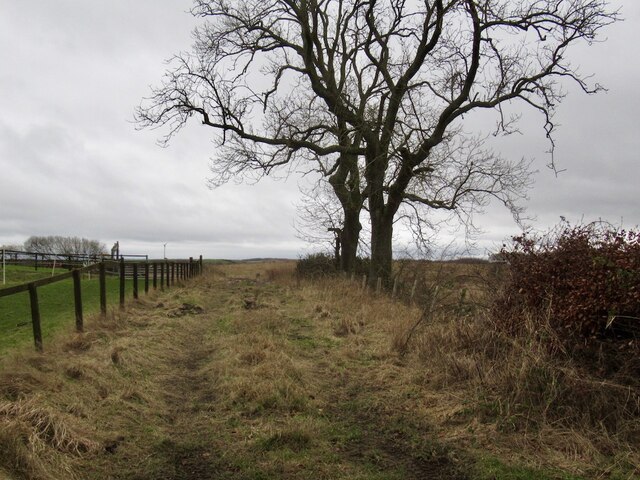
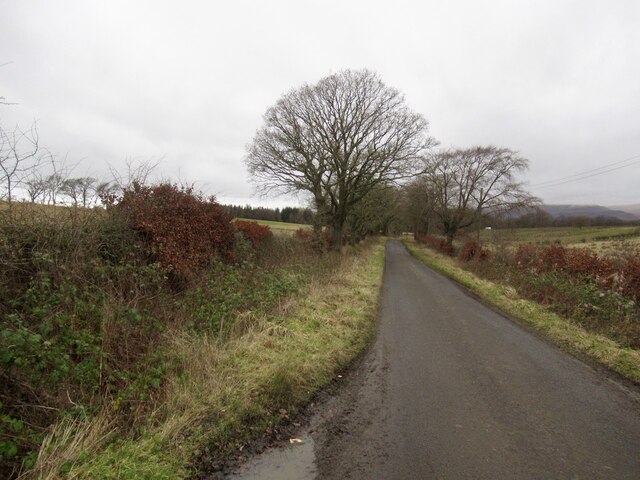
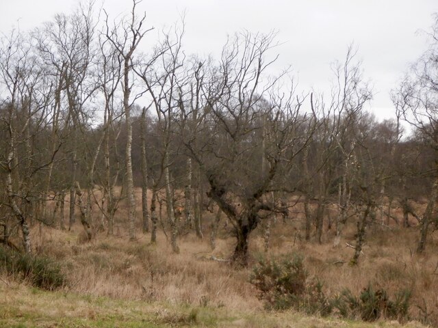
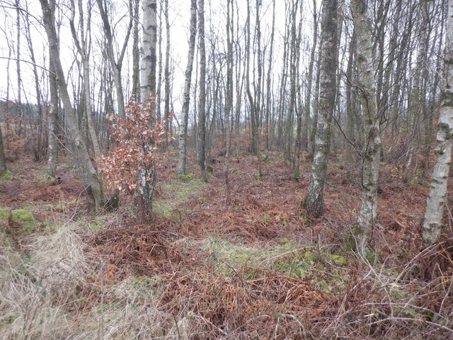
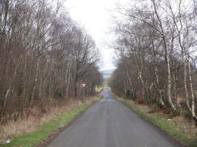
Aiky Hill is mostly covered in heather and grass, with patches of trees dotting its slopes. The terrain is moderately steep, providing a challenging yet accessible hike for individuals of varying fitness levels. Several well-marked trails lead up to the summit, with options for different distances and difficulty levels.

The hill is also home to a diverse range of wildlife, including various bird species, such as red grouse and pheasants, which can often be spotted during the climb. Additionally, the area surrounding Aiky Hill is known for its rich historical heritage, with remnants of ancient settlements and burial mounds adding an archaeological interest to the region.

Overall, Aiky Hill offers a delightful outdoor experience, combining stunning natural beauty with opportunities for recreational activities and exploration of the area's historical past.

If you have any feedback on the listing, please let us know in the comments section below.
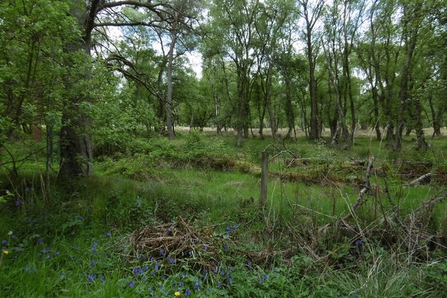
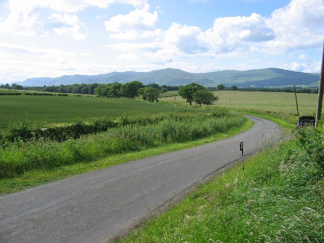
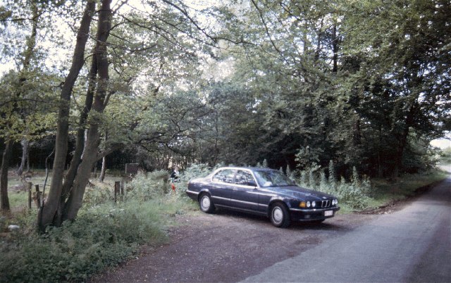
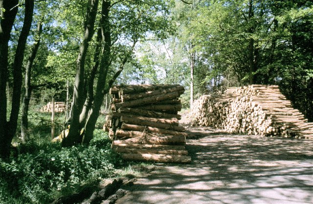
Aiky Hill Images

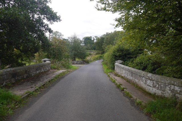
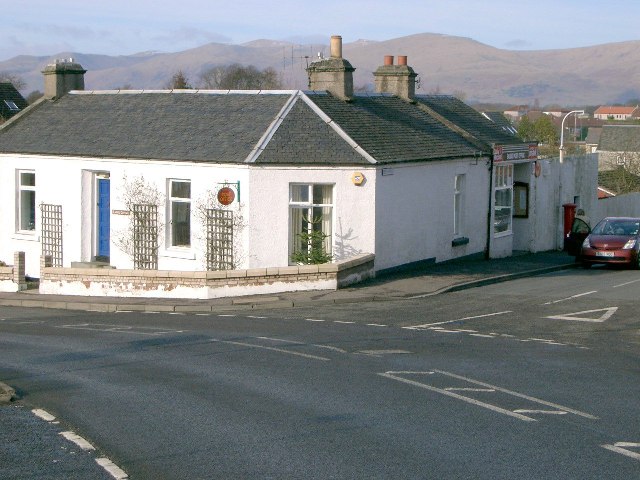
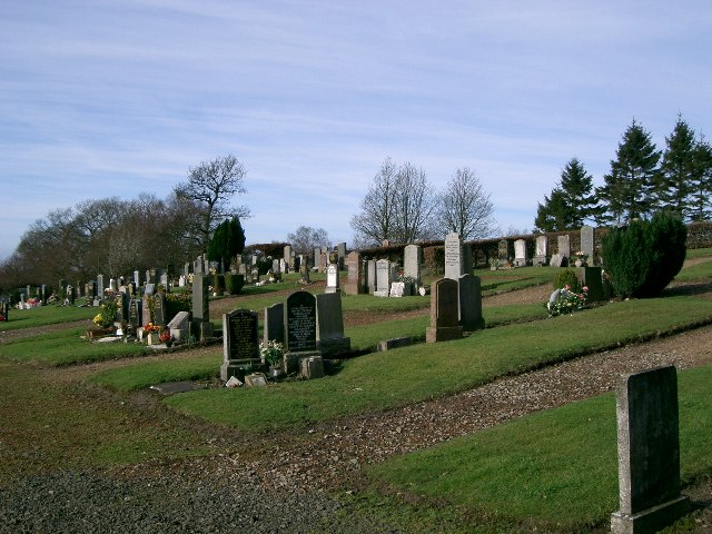
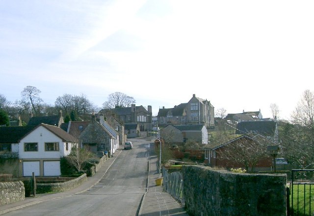
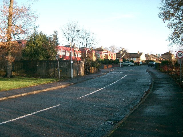
Images are sourced within 2km of 56.118111/-3.607198 or Grid Reference NT0092. Thanks to Geograph Open Source API. All images are credited.

Burnside Bridge Crossing the Black Devon near Saline.
Burnside Bridge
Crossing the Black Devon near Saline.
Pasture near Saline Looking towards Saline Hill.
Pasture near Saline
Looking towards Saline Hill.
Saline seen from Saline Hill
Gate near Shieldbank On the Saline to Blairingone road
Gate near Shieldbank
On the Saline to Blairingone road
Field access track, Shieldbank
Saline to Blairingone road
Rough grazing near Saline A lot of poor quality farmland in this area is being planted with trees. There is a deer fence here now and tree planters were at work nearby.
Rough grazing near Saline
A lot of poor quality farmland in this area is being planted with trees. There is a deer fence here now and tree planters were at work nearby.
Shaw Muir Wood Wood and wetland west of Saline.
Shaw Muir Wood
Wood and wetland west of Saline.
Birches, Shaw Muir Wood Between two roads on the approach to a junction.
Birches, Shaw Muir Wood
Between two roads on the approach to a junction.
Forestmill to Saline road Approaching a junction with the B913.
Forestmill to Saline road
Approaching a junction with the B913.
The lane from Saline to Forestmill At Forestmill one can join the A977 and then the A876 across the (still quite new) Clackmannanshire Bridge over the Forth.
The lane from Saline to Forestmill
At Forestmill one can join the A977 and then the A876 across the (still quite new) Clackmannanshire Bridge over the Forth.
A hedge near Saline The land is not the best quality around here, heavy and poorly drained. This is one of the better bits.
A hedge near Saline
The land is not the best quality around here, heavy and poorly drained. This is one of the better bits.
Shaw Muir Wood Forestry Commission ground near Saline.
Shaw Muir Wood
Forestry Commission ground near Saline.
Lane near Saline View to the Ochils.
Lane near Saline
View to the Ochils.
Eastfield Plantation Access to the woodland from the Saline road
Eastfield Plantation
Access to the woodland from the Saline road
Timber The results of thinning are being stacked up, ready for transport from Eastfield Plantation
Timber
The results of thinning are being stacked up, ready for transport from Eastfield Plantation
Saline Post Office
Saline Post Office
Saline Cemetery
Saline Cemetery
Show me another place!

Aiky Hill is located at Grid Ref: NT0092 (Lat: 56.118111, Lng: -3.607198)

Unitary Authority: Fife

Police Authority: Fife

What 3 Words

///unzipped.copycat.blackmail. Near Saline, Fife

Related Wikis

Nearby Amenities

Located within 500m of 56.118111,-3.607198
Power: pole
Lat/Long: 56.1144904/-3.6114412
Power: pole
Lat/Long: 56.1144938/-3.6101016
Power: pole
Lat/Long: 56.1144938/-3.6088256
Power: pole
Lat/Long: 56.1145293/-3.607408
Power: pole
Lat/Long: 56.1148999/-3.6088707
Power: pole
Lat/Long: 56.1154477/-3.6089425
Power: pole
Lat/Long: 56.1160596/-3.6090225
Power: pole
Lat/Long: 56.1168144/-3.6089343
Power: pole
Lat/Long: 56.1174103/-3.6095723
Power: pole
Lat/Long: 56.1178964/-3.6100708
Power: pole
Lat/Long: 56.1184201/-3.6106144
Power: pole
Lat/Long: 56.1190377/-3.6112606
Power: pole
Lat/Long: 56.1196141/-3.6118884
Power: pole
Lat/Long: 56.1202122/-3.6122905
Power: pole
Lat/Long: 56.1210058/-3.6128833
Power: pole
Lat/Long: 56.1145682/-3.6060828
Power: pole
Lat/Long: 56.1146036/-3.6048068
Power: pole
Lat/Long: 56.1142285/-3.604136
Power: pole
Lat/Long: 56.1221413/-3.6094144
Power: pole
Lat/Long: 56.1214712/-3.608881
Power: pole
Lat/Long: 56.1213735/-3.6122535
Power: pole
Lat/Long: 56.1212511/-3.6112689
Power: pole
Lat/Long: 56.1213803/-3.6101098
Power: pole
Lat/Long: 56.1216771/-3.6076091
Power: pole
Lat/Long: 56.1218337/-3.6062674
Power: pole
Lat/Long: 56.1219641/-3.6052807
Power: pole
Lat/Long: 56.1220922/-3.6042693
Power: pole
Lat/Long: 56.1195289/-3.6143481
Power: pole
Lat/Long: 56.119482/-3.6133367
The data included in this document is from www.openstreetmap.org. The data is made available under ODbL.

Have you been to Aiky Hill?

Leave your review of Aiky Hill below (or comments, questions and feedback).