Loorie Plantation
Wood, Forest in Fife
Scotland
Loorie Plantation

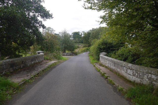
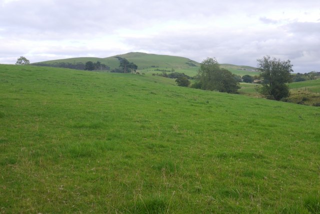
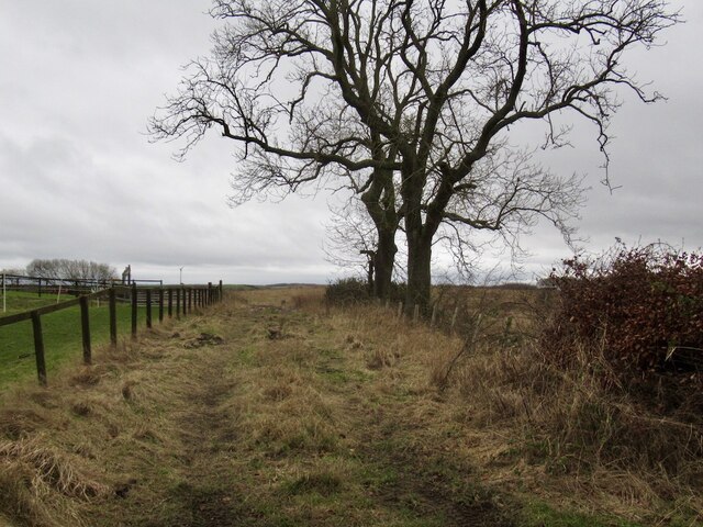
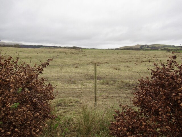
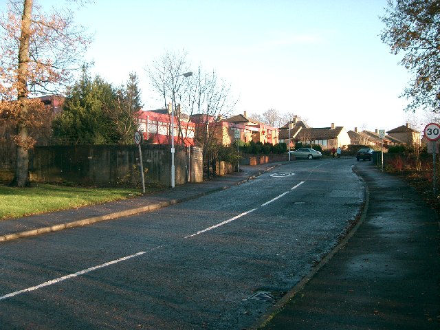
Loorie Plantation, located in Fife, Scotland, is a picturesque woodland area encompassing an extensive forest. It is nestled in the heart of the region, offering visitors a tranquil escape into nature. The plantation covers a significant area, providing ample space to explore and immerse oneself in the beauty of the surrounding environment.
The woodland of Loorie Plantation predominantly consists of native tree species, such as oak, beech, and birch, which contribute to the rich biodiversity of the area. These majestic trees create a dense canopy, allowing dappled sunlight to filter through, casting a magical ambiance throughout the plantation.
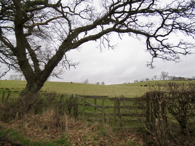
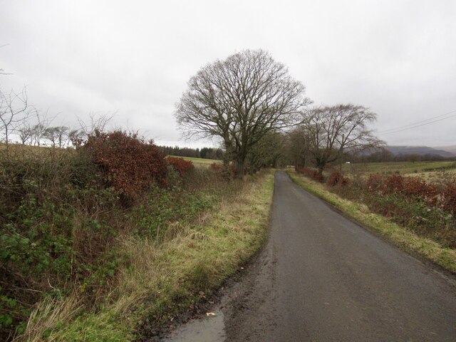
Visitors to Loorie Plantation are greeted by a well-maintained network of walking trails that wind their way through the forest. These trails offer an opportunity for hikers, nature enthusiasts, and families to enjoy the plantation's natural wonders while engaging in outdoor activities. The paths vary in difficulty, catering to all fitness levels and ensuring accessibility for everyone.
Wildlife thrives within the plantation, with various species of birds, small mammals, and insects calling Loorie their home. Birdwatchers will delight in spotting species such as woodpeckers, owls, and thrushes, while small mammals like squirrels and rabbits can often be spotted scampering through the undergrowth.
Loorie Plantation provides an idyllic setting for nature lovers to connect with the great outdoors. Whether one seeks a peaceful stroll, an adventurous hike, or simply a place to unwind and appreciate the beauty of nature, Loorie Plantation in Fife offers an enriching experience for all who visit.
If you have any feedback on the listing, please let us know in the comments section below.
Loorie Plantation Images
Images are sourced within 2km of 56.114253/-3.5942349 or Grid Reference NT0092. Thanks to Geograph Open Source API. All images are credited.


Loorie Plantation is located at Grid Ref: NT0092 (Lat: 56.114253, Lng: -3.5942349)
Unitary Authority: Fife
Police Authority: Fife
What 3 Words
///perfectly.roaming.limiting. Near Saline, Fife
Nearby Locations
Related Wikis
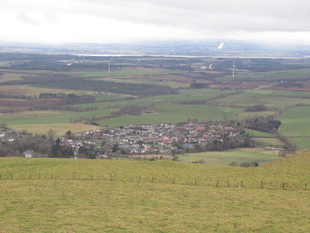
Saline, Fife
Saline is a village and parish in Fife, Scotland, situated 5 miles (8.0 km) to the north-west of Dunfermline. It lies in an elevated position on the western...

Steelend
Steelend is a former mining village in West Fife, Scotland, located on the B914 road approximately three-quarters of a mile east of the village of Saline...
Blairhall
Blairhall is a village in West Fife, Scotland. It is situated 1.1 miles (1.77 km) west of Comrie, and 6.7 miles (10.783 km) west of Dunfermline. The village...

Oakley United F.C.
Oakley United Football Club are a Scottish football club based in Oakley, Fife. Formed in 1964, they play their home games at Blairwood Park. The club...
Comrie, Fife
Comrie ( locally or ); is a village in Fife, Scotland, located immediately west of the neighbouring village of Oakley, 6.2 miles (9.98 km) west of Dunfermline...

Dunfermline (district)
Dunfermline (Scottish Gaelic: Dùn Phàrlain, Scots: Dunfaurlin) was a local government district in the Fife region of Scotland from 1975 to 1996, lying...
East Grange (Fife) railway station
East Grange railway station served the area of East Grange, Fife, Scotland, from 1850 to 1958 on the Stirling and Dunfermline Railway. == History == The...

Oakley (Fife) railway station
Oakley (Fife) railway station served the village of Oakley, Fife, Scotland from 1850 to 1986 on the Stirling and Dunfermline Railway. == History == The...
Nearby Amenities
Located within 500m of 56.114253,-3.5942349Have you been to Loorie Plantation?
Leave your review of Loorie Plantation below (or comments, questions and feedback).