Charlesfield Wood
Wood, Forest in Perthshire
Scotland
Charlesfield Wood

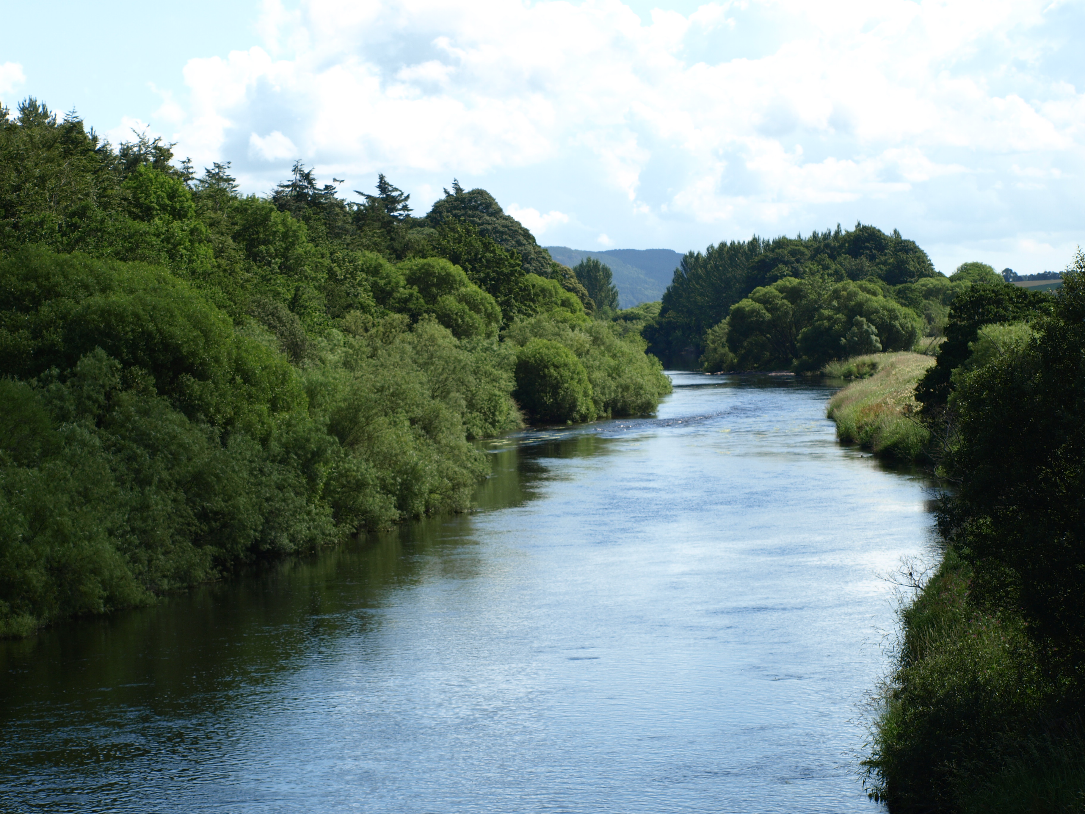
Charlesfield Wood is a charming woodland located in Perthshire, Scotland. Situated near the town of Auchterarder, the wood covers an area of approximately 60 acres. It is a popular destination for nature enthusiasts, hikers, and those seeking a peaceful retreat in the heart of the Scottish countryside.
The wood is predominantly made up of a mixture of native trees, including oak, birch, and pine. These towering trees provide a rich habitat for a variety of wildlife, including birds, squirrels, and deer. The woodland floor is carpeted with an array of wildflowers, adding to the natural beauty of the area.
A network of well-maintained footpaths weaves its way through Charlesfield Wood, allowing visitors to explore the area at their own pace. These paths offer stunning views of the surrounding landscape, including rolling hills and distant mountains. There are also several picnic spots dotted throughout the wood, providing the perfect opportunity to relax and enjoy the peaceful surroundings.
In addition to its natural beauty, Charlesfield Wood also holds historical significance. The wood was once part of the vast estate of a local landowner and has been carefully managed to preserve its unique character and heritage.
Overall, Charlesfield Wood is a delightful place to visit for anyone looking to escape the hustle and bustle of everyday life and immerse themselves in the tranquility of nature.
If you have any feedback on the listing, please let us know in the comments section below.
Charlesfield Wood Images
Images are sourced within 2km of 56.356926/-3.6041883 or Grid Reference NO0019. Thanks to Geograph Open Source API. All images are credited.


Charlesfield Wood is located at Grid Ref: NO0019 (Lat: 56.356926, Lng: -3.6041883)
Unitary Authority: Perth and Kinross
Police Authority: Tayside
What 3 Words
///peach.reserve.minute. Near Methven, Perth & Kinross
Nearby Locations
Related Wikis
Findo Gask
Findo Gask is a small village in Perth and Kinross in Scotland, just off the main A9 road. It is in Strathearn. There are nearby remains associated with...

RAF Findo Gask
RAF Findo Gask was a Royal Air Force satellite station located 7 mi (11 km) west of Perth, Scotland used during the Second World War. == History == RAF...
Battle of Dupplin Moor
The Battle of Dupplin Moor was fought between supporters of King David II of Scotland, the son of King Robert Bruce, and English-backed invaders supporting...
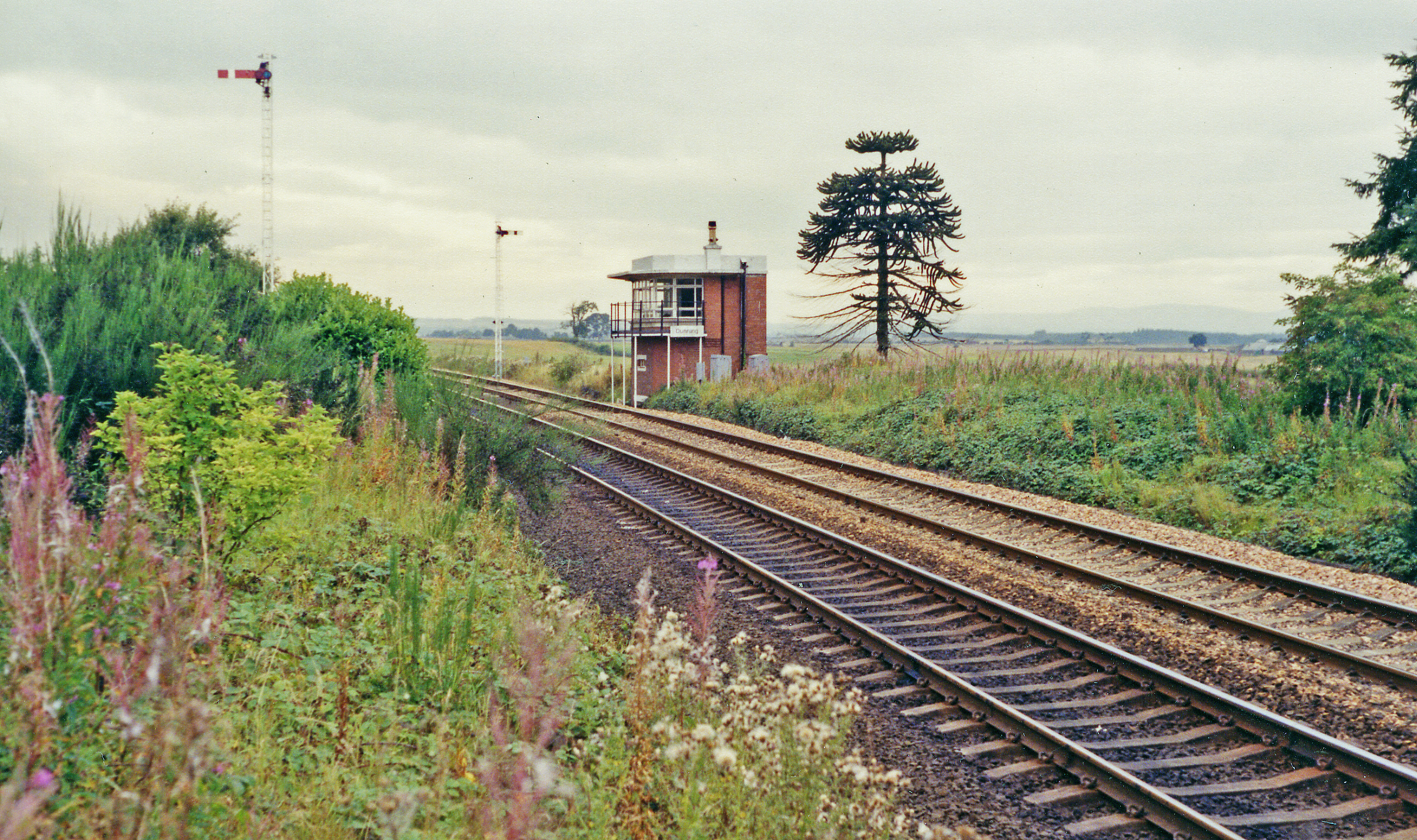
Dunning railway station
Dunning railway station served the village of Dunning, Perth and Kinross, Scotland from 1848 to 1956 on the Scottish Central Railway. == History == The...
Nearby Amenities
Located within 500m of 56.356926,-3.6041883Have you been to Charlesfield Wood?
Leave your review of Charlesfield Wood below (or comments, questions and feedback).