Cattle Moss Wood

Wood, Forest in Fife

Scotland

Cattle Moss Wood

Burnside Bridge Crossing the Black Devon near Saline.
Burnside Bridge Credit: Richard Webb

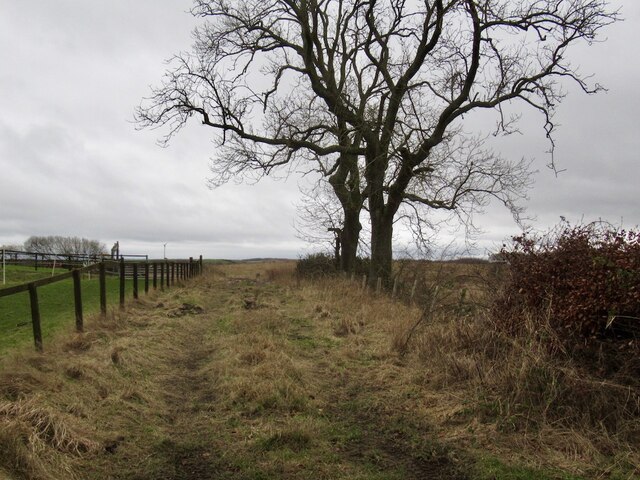
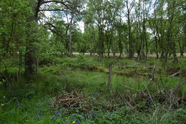
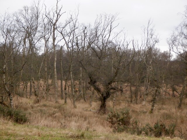
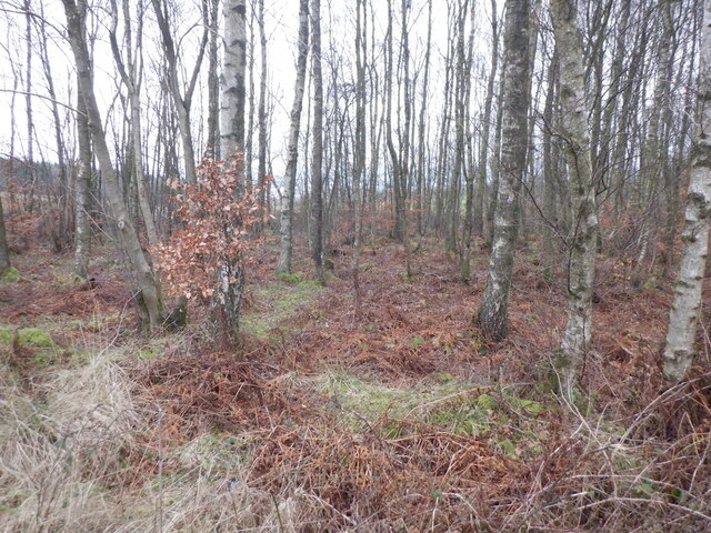
Cattle Moss Wood is a charming forest located in the region of Fife, Scotland. Covering a vast area of approximately 100 hectares, this wood is renowned for its natural beauty and diverse ecosystem. The forest is named after the vibrant green moss that carpets the ground and creates a stunning contrast against the towering trees.

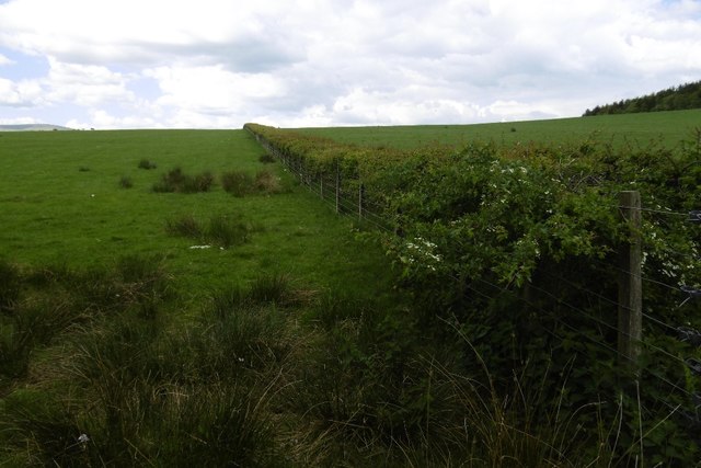
The wood is predominantly comprised of native broadleaf species, such as oak, birch, and ash, which have flourished in this environment for centuries. These majestic trees create a dense canopy that provides shade and shelter for a multitude of wildlife species. Visitors to Cattle Moss Wood can expect to encounter a variety of birds, including woodpeckers, owls, and finches, as well as small mammals like squirrels, badgers, and foxes.

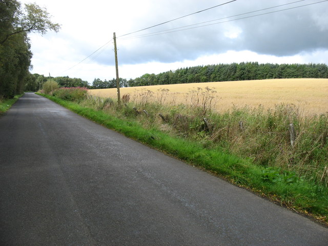
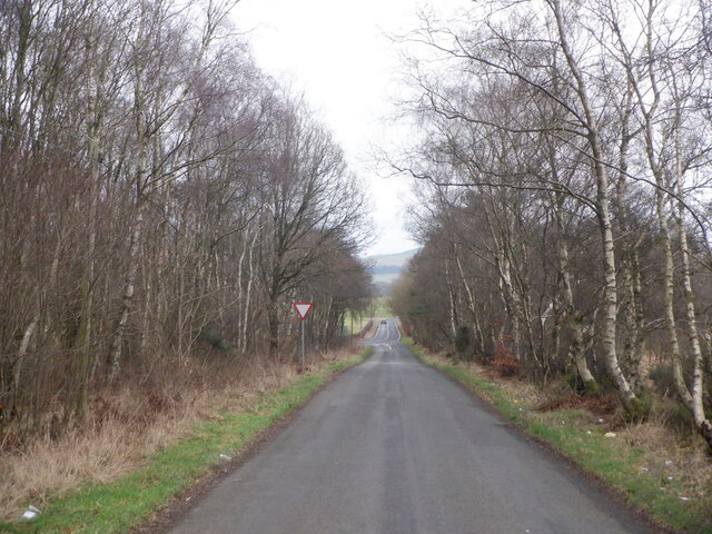
The wood features a network of well-maintained trails that allow visitors to explore its hidden corners and discover its natural wonders. These paths wind through the forest, passing by picturesque streams and enchanting clearings, perfect for relaxation or picnicking. The tranquility and peacefulness of the wood make it an ideal spot for nature lovers seeking solace and a break from the hustle and bustle of urban life.

Cattle Moss Wood also holds historical significance, as it is believed to have been a part of the ancient Caledonian Forest that once covered much of Scotland. Today, the wood is managed by local authorities to preserve its ecological value and ensure its accessibility to the public.

In conclusion, Cattle Moss Wood is a captivating forest in Fife, Scotland, offering visitors a chance to immerse themselves in its natural beauty, diverse wildlife, and serene atmosphere.

If you have any feedback on the listing, please let us know in the comments section below.

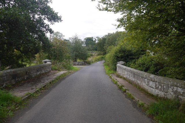
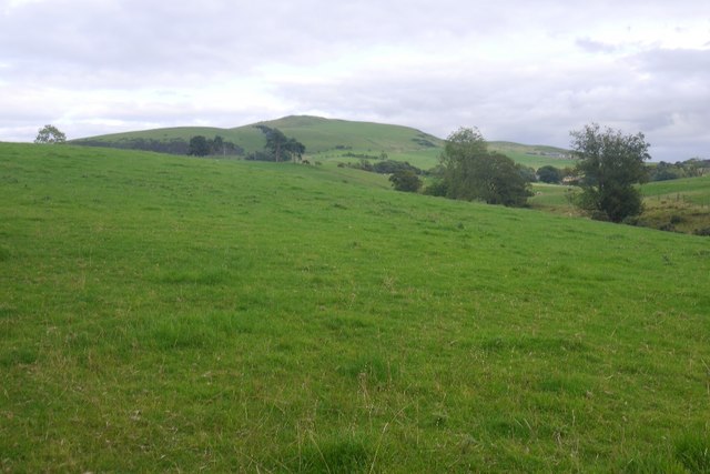
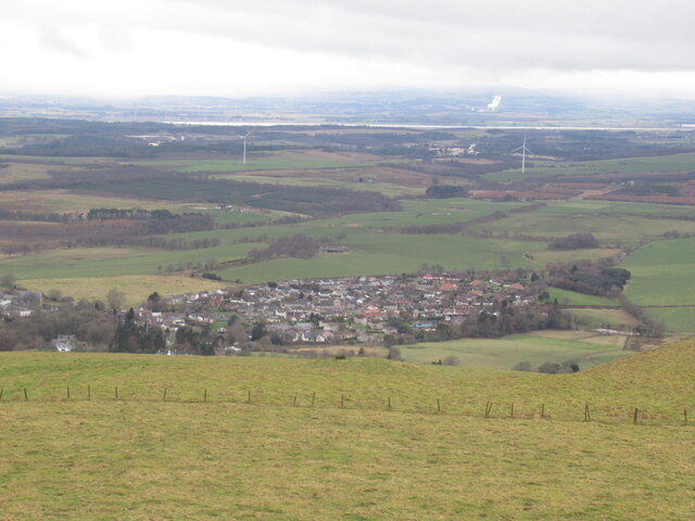
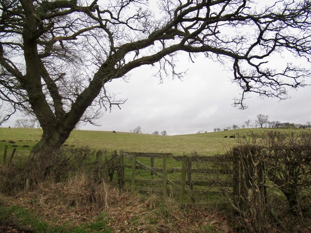
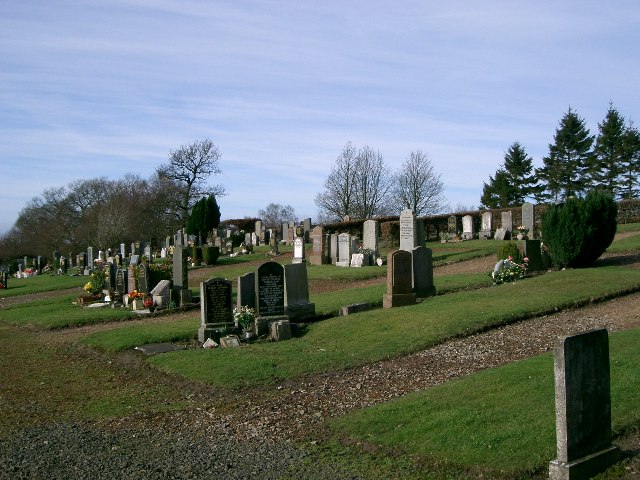
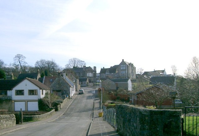
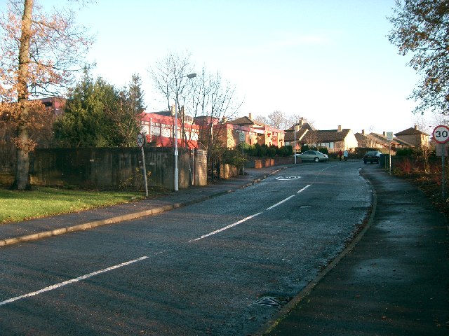
Cattle Moss Wood Images

Images are sourced within 2km of 56.111427/-3.605681 or Grid Reference NT0092. Thanks to Geograph Open Source API. All images are credited.

Burnside Bridge Crossing the Black Devon near Saline.
Burnside Bridge
Crossing the Black Devon near Saline.
Pasture near Saline Looking towards Saline Hill.
Pasture near Saline
Looking towards Saline Hill.
Loanhead Poultry Farm, Saline A large enterprise south of Saline.
Loanhead Poultry Farm, Saline
A large enterprise south of Saline.
Saline seen from Saline Hill
Gate near Shieldbank On the Saline to Blairingone road
Gate near Shieldbank
On the Saline to Blairingone road
Field access track, Shieldbank
The lane from Saline to Forestmill At Forestmill one can join the A977 and then the A876 across the (still quite new) Clackmannanshire Bridge over the Forth.
The lane from Saline to Forestmill
At Forestmill one can join the A977 and then the A876 across the (still quite new) Clackmannanshire Bridge over the Forth.
A hedge near Saline The land is not the best quality around here, heavy and poorly drained. This is one of the better bits.
A hedge near Saline
The land is not the best quality around here, heavy and poorly drained. This is one of the better bits.
Shaw Muir Wood Forestry Commission ground near Saline.
Shaw Muir Wood
Forestry Commission ground near Saline.
Shaw Muir Wood Wood and wetland west of Saline.
Shaw Muir Wood
Wood and wetland west of Saline.
Birches, Shaw Muir Wood Between two roads on the approach to a junction.
Birches, Shaw Muir Wood
Between two roads on the approach to a junction.
Forestmill to Saline road Approaching a junction with the B913.
Forestmill to Saline road
Approaching a junction with the B913.
Saline Post Office
Saline Post Office
Saline Cemetery
Saline Cemetery
Saline View eastwards to Saline Hill.
Saline
View eastwards to Saline Hill.
Tsuru Tsuru Restaurant - closed Tuesdays
Tsuru
Tsuru Restaurant - closed Tuesdays
Shieldbank house Formerly known as 'Sandydubs farmhouse', now attached to riding stables.
Shieldbank house
Formerly known as 'Sandydubs farmhouse', now attached to riding stables.
Devonside Farm Daffodils help brighten up the appearance of these somewhat unkempt-looking farm buildings. Devonside Farm lies close to the confluence of the Black Devon river (from which it gets its name) and the Saline Burn (which despite its name is a freshwater stream!)
Devonside Farm
Daffodils help brighten up the appearance of these somewhat unkempt-looking farm buildings. Devonside Farm lies close to the confluence of the Black Devon river (from which it gets its name) and the Saline Burn (which despite its name is a freshwater stream!)
Show me another place!

Cattle Moss Wood is located at Grid Ref: NT0092 (Lat: 56.111427, Lng: -3.605681)

Unitary Authority: Fife

Police Authority: Fife

What 3 Words

///truly.closet.eclipses. Near Saline, Fife

Related Wikis

Saline, Fife

Saline is a village and parish in Fife, Scotland, situated 5 miles (8.0 km) to the north-west of Dunfermline. It lies in an elevated position on the western...

Blairhall

Blairhall is a village in West Fife, Scotland. It is situated 1.1 miles (1.77 km) west of Comrie, and 6.7 miles (10.783 km) west of Dunfermline. The village...

East Grange (Fife) railway station

East Grange railway station served the area of East Grange, Fife, Scotland, from 1850 to 1958 on the Stirling and Dunfermline Railway. == History == The...

Oakley United F.C.

Oakley United Football Club are a Scottish football club based in Oakley, Fife. Formed in 1964, they play their home games at Blairwood Park. The club...

Nearby Amenities

Located within 500m of 56.111427,-3.605681
Power: pole
Lat/Long: 56.1144904/-3.6114412
Power: pole
Lat/Long: 56.1144938/-3.6101016
Power: pole
Lat/Long: 56.1140604/-3.6114042
Power: pole
Lat/Long: 56.1144938/-3.6088256
Power: pole
Lat/Long: 56.1145293/-3.607408
Power: pole
Lat/Long: 56.1148999/-3.6088707
Power: pole
Lat/Long: 56.1154477/-3.6089425
Power: pole
Lat/Long: 56.1145682/-3.6060828
Power: pole
Lat/Long: 56.1146036/-3.6048068
Power: pole
Lat/Long: 56.1142285/-3.604136
Power: pole
Lat/Long: 56.1137172/-3.6033093
Power: pole
Lat/Long: 56.1132826/-3.6026036
Power: pole
Lat/Long: 56.1128011/-3.6017892
Power: pole
Lat/Long: 56.1124019/-3.6010999
Power: pole
Lat/Long: 56.1120278/-3.6004906
Power: pole
Lat/Long: 56.1115166/-3.5996618
The data included in this document is from www.openstreetmap.org. The data is made available under ODbL.

Have you been to Cattle Moss Wood?

Leave your review of Cattle Moss Wood below (or comments, questions and feedback).