Sluie Hill

Hill, Mountain in Morayshire

Scotland

Sluie Hill

Sluie Cottage
Sluie Cottage Credit: Steven Brown

Sluie Hill is a prominent hill located in the county of Morayshire, Scotland. It is situated in the northeast region of the country and forms a part of the larger Grampian Mountains. Standing at an elevation of approximately 1,000 feet (305 meters), Sluie Hill offers breathtaking panoramic views of the surrounding landscape.

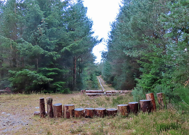
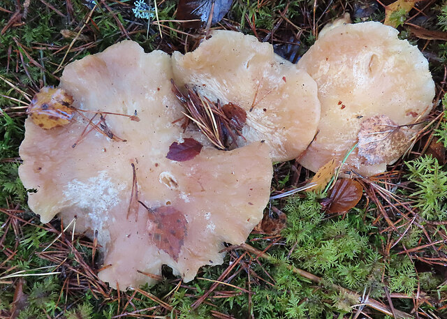
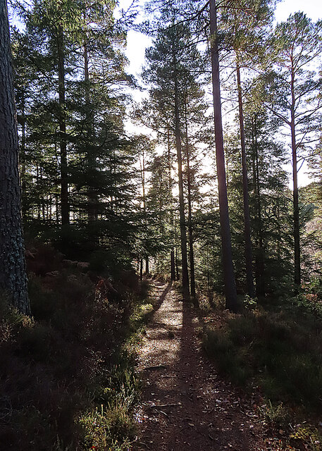
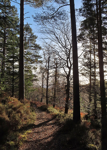
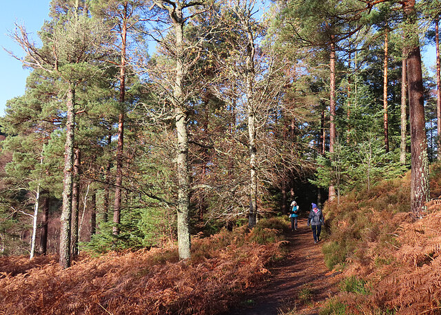
The hill is characterized by its gently sloping sides and a relatively flat summit, making it accessible for hikers and nature enthusiasts. The terrain is primarily composed of grassy slopes, heather moorland, and scattered patches of woodland, providing a diverse habitat for local flora and fauna.

Sluie Hill is a popular destination for outdoor activities such as hillwalking, birdwatching, and photography. Its tranquil surroundings and unspoiled natural beauty make it an ideal spot for those seeking a peaceful retreat or a break from the hustle and bustle of city life.

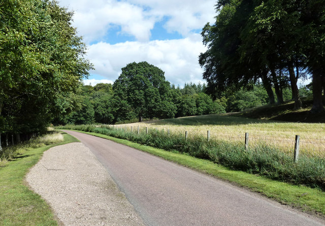
The hill is easily accessible by road, with a car park located at the base of the hill for visitors. Several well-marked trails lead to the summit, catering to various levels of fitness and hiking experience. Along the way, walkers may encounter wildlife such as red deer, mountain hares, and a variety of bird species.

Overall, Sluie Hill offers a unique opportunity to experience the stunning Scottish countryside and immerse oneself in the serenity of nature. Whether visiting for a leisurely stroll or a more challenging hike, the hill provides a memorable experience for all who venture to its summit.

If you have any feedback on the listing, please let us know in the comments section below.
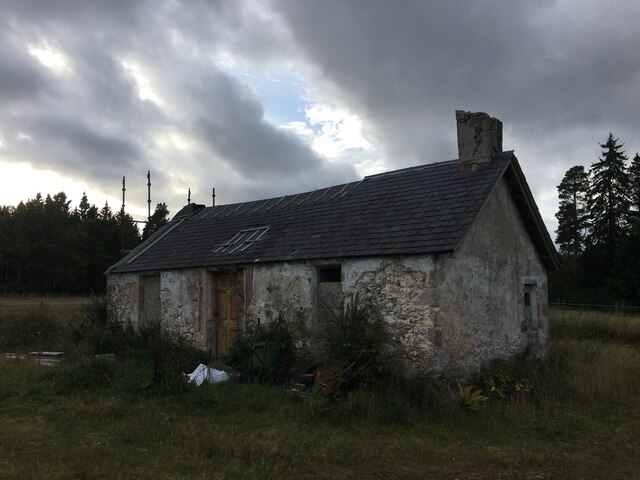
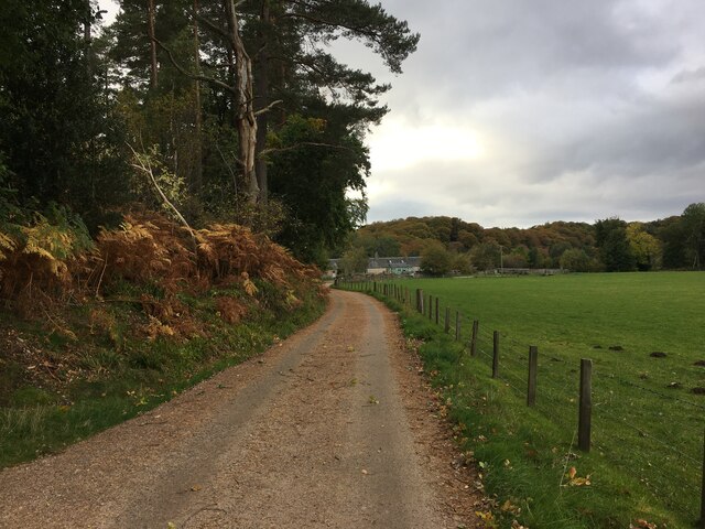
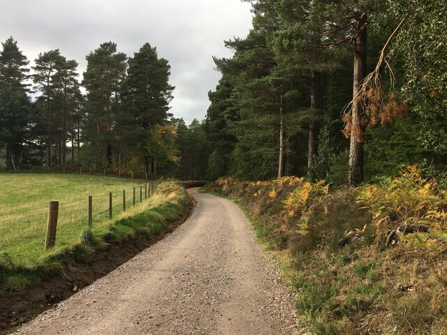
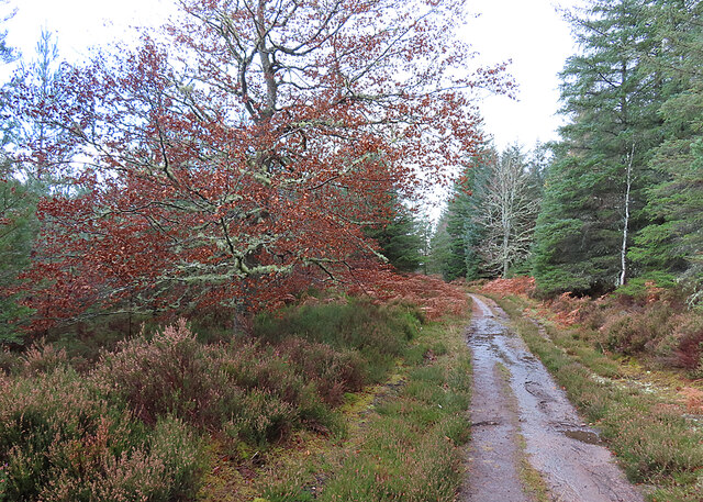
Sluie Hill Images

Images are sourced within 2km of 57.559034/-3.6700878 or Grid Reference NJ0053. Thanks to Geograph Open Source API. All images are credited.

Sluie Cottage
Sluie Cottage
Road to Mains of Sluie
Road to Mains of Sluie This gravel road appears to have been recently regraded.
Road to Mains of Sluie
This gravel road appears to have been recently regraded.
Track past Honey Howe Honey Howe is a small knoll to the left here, obscured by the vegetation.
Track past Honey Howe
Honey Howe is a small knoll to the left here, obscured by the vegetation.
Forest Installation This curious structure is at a crossroads in Logie Wood. My companions speculated that it is a play area for the amusement of children bored with walking.
Forest Installation
This curious structure is at a crossroads in Logie Wood. My companions speculated that it is a play area for the amusement of children bored with walking.
Fungus in the Forest No, sorry, I cannot identify the species.
Fungus in the Forest
No, sorry, I cannot identify the species.
Woodland Path This is the upper, and thus at this time of year sunnier, of the paths on the east side of the Findhorn gorge between Logie and Sluie.
Woodland Path
This is the upper, and thus at this time of year sunnier, of the paths on the east side of the Findhorn gorge between Logie and Sluie.
Path in Sunshine Having been rained on all the way out to the turning point, we are now enjoying a cloudless sky as we make our way back to Logie Steading.
Path in Sunshine
Having been rained on all the way out to the turning point, we are now enjoying a cloudless sky as we make our way back to Logie Steading.
Forest Clearing The path emerges here into a clearing from which there are fine but unphotographable views straight into the sun of the Findhorn gorge. This is looking back to the north.
Forest Clearing
The path emerges here into a clearing from which there are fine but unphotographable views straight into the sun of the Findhorn gorge. This is looking back to the north.
Darnaway Forest
Darnaway Forest
Road, Darnaway Forest
Darnaway Burn
Darnaway Burn
Cottage - Newton of Darnaway
Mini Waterfall - Dunearn Burn Dunearn Burn in spate, enhancing the size of the waterfall.
Mini Waterfall - Dunearn Burn
Dunearn Burn in spate, enhancing the size of the waterfall.
Footpath above Dunearn Burn This footpath, shown on the OS25k map on the NE side of the Dunearn Burn, is seldom used. It has become impassable in parts, due to the windblown trees and steep drop off down to the burn below.
Footpath above Dunearn Burn
This footpath, shown on the OS25k map on the NE side of the Dunearn Burn, is seldom used. It has become impassable in parts, due to the windblown trees and steep drop off down to the burn below.
Loch Holly Only marked on my OS25k map, more of a lochan than a Loch.
Loch Holly
Only marked on my OS25k map, more of a lochan than a Loch.
Darnaway Burn Autumn was late arriving in this picturesque part of Darnaway Forest, most of the beech tree leaves have yet to turn into their full autumnal colours
Darnaway Burn
Autumn was late arriving in this picturesque part of Darnaway Forest, most of the beech tree leaves have yet to turn into their full autumnal colours
In Darnaway Estate An open space with arable crops and occasional clumps of mature trees.
In Darnaway Estate
An open space with arable crops and occasional clumps of mature trees.
Show me another place!

Sluie Hill is located at Grid Ref: NJ0053 (Lat: 57.559034, Lng: -3.6700878)

Unitary Authority: Moray

Police Authority: North East

What 3 Words

///slacker.hacksaw.strongman. Near Forres, Moray

Related Wikis

Have you been to Sluie Hill?

Leave your review of Sluie Hill below (or comments, questions and feedback).