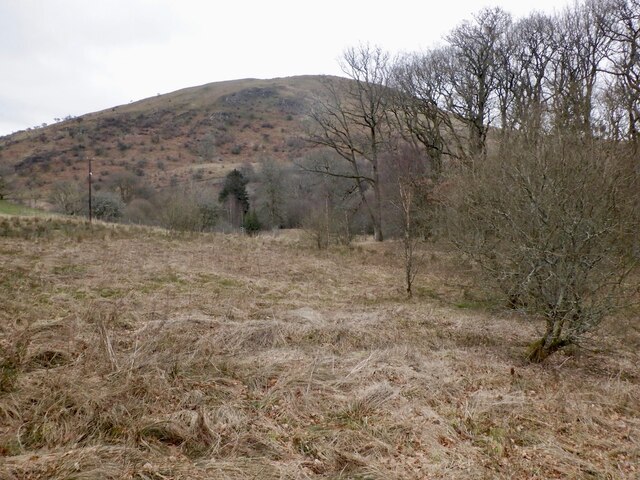
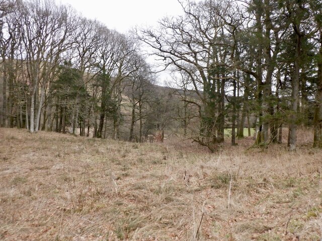
Bardennoch Hill

Hill, Mountain in Dumfriesshire

Scotland

Bardennoch Hill

Toll Cottage, Dunreggan Catching the February evening sunlight. I presume its original purpose was to collect tolls from users of the bridge over the Dalwhat Water. For a complete view see <a href="https://www.geograph.org.uk/photo/4101230">NX7890 : Toll Cottage, Dunreggan, Moniaive</a>.
Toll Cottage, Dunreggan Credit: M J Richardson

The requested URL returned error: 429 Too Many Requests

If you have any feedback on the listing, please let us know in the comments section below.

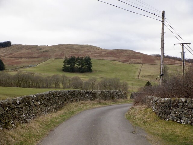
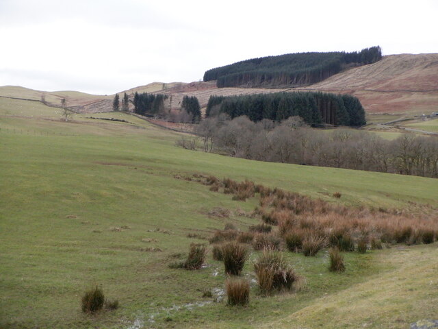
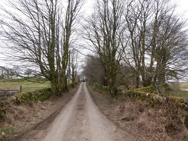
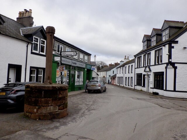
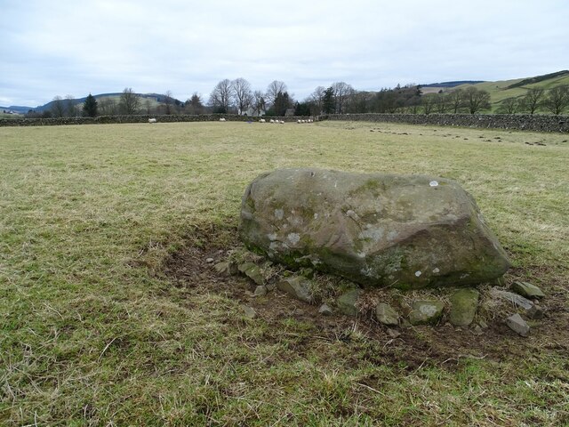
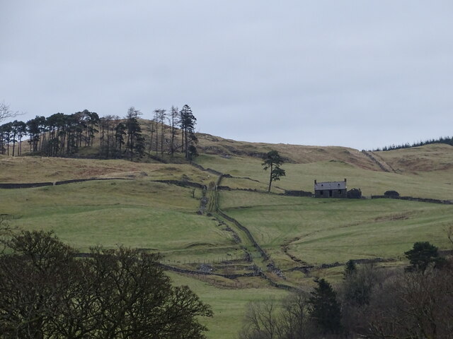
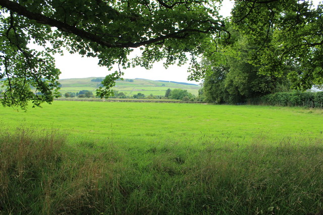
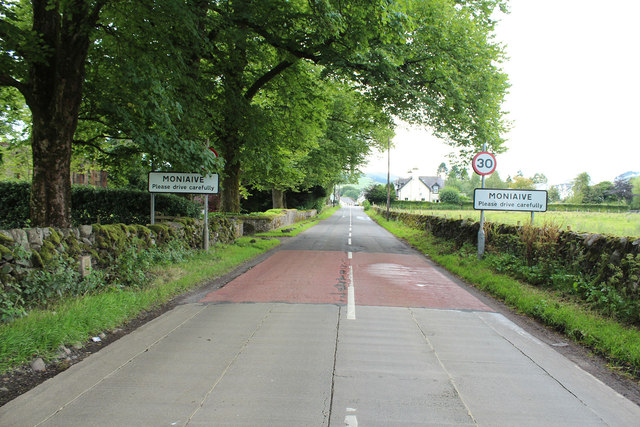
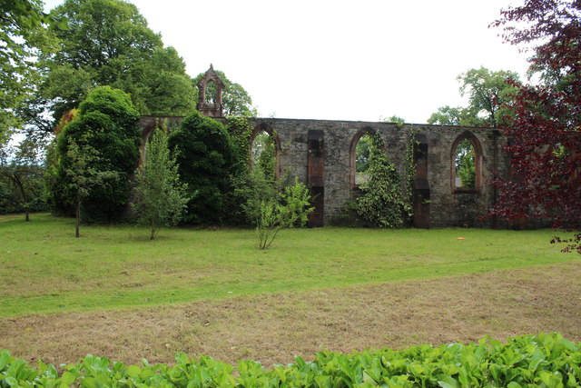
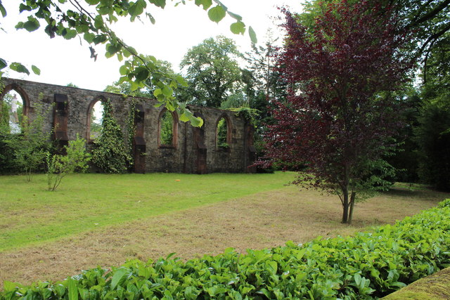
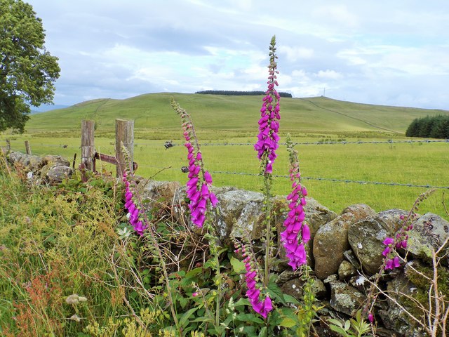
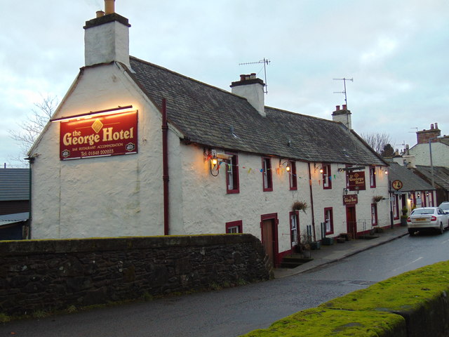
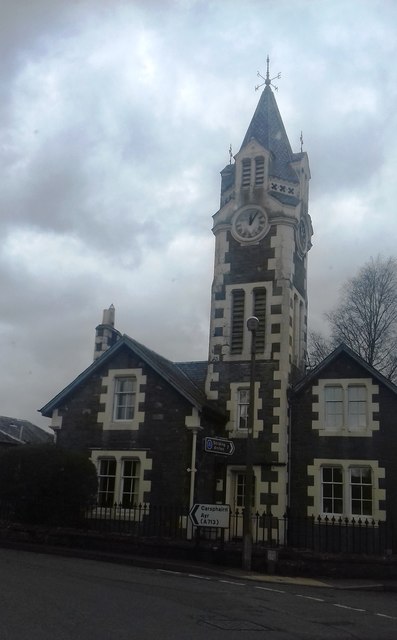
Bardennoch Hill Images

Images are sourced within 2km of 55.206994/-3.9104916 or Grid Reference NX7891. Thanks to Geograph Open Source API. All images are credited.

Toll Cottage, Dunreggan Catching the February evening sunlight. I presume its original purpose was to collect tolls from users of the bridge over the Dalwhat Water. For a complete view see <a href="https://www.geograph.org.uk/photo/4101230">NX7890 : Toll Cottage, Dunreggan, Moniaive</a>.
Toll Cottage, Dunreggan
Catching the February evening sunlight. I presume its original purpose was to collect tolls from users of the bridge over the Dalwhat Water. For a complete view see NX7890 : Toll Cottage, Dunreggan, Moniaive.
Tower House, Moniaive Evening sunlight casts deep shadow on the B729. The tower house is at the junction of North Street and Ayr Street.
Tower House, Moniaive
Evening sunlight casts deep shadow on the B729. The tower house is at the junction of North Street and Ayr Street.
Woodland by Birkhill Bennan in the background.
Woodland by Birkhill
Bennan in the background.
Woodland, Birkhill
Woodland, Birkhill
Moniaive to Tynron road, Hillhead
Stenhouse Hill View towards a smaller conifer plantation from Hillhead.
Stenhouse Hill
View towards a smaller conifer plantation from Hillhead.
Tynron to Moniaive  road Near its summit.
Tynron to Moniaive road
Near its summit.
Centre of Moniaive The phenomenally good village shop is for sale.
Centre of Moniaive
The phenomenally good village shop is for sale.
Smith's Stone William Smith, Covenanter, was shot here.
Smith's Stone
William Smith, Covenanter, was shot here.
Upper Bardennoch A view of Upper Bardennoch from Renwick's Monument.
Upper Bardennoch
A view of Upper Bardennoch from Renwick's Monument.
Farmland at Moniaive
Arriving at Moniaive
Farmland at Moniaive
The Old Manse Dunreggan, Moniaive
Foxgloves on the Moniaive to Tynron road
George Hotel, Moniaive
Moniaive Tower House Private house with clock tower
Moniaive Tower House
Private house with clock tower
Show me another place!

Bardennoch Hill is located at Grid Ref: NX7891 (Lat: 55.206994, Lng: -3.9104916)

Unitary Authority: Dumfries and Galloway

Police Authority: Dumfries and Galloway

What 3 Words

///soda.sunbeam.little. Near Thornhill, Dumfries & Galloway

Related Wikis

Moniaive

Moniaive ( 'monny-IVE'; Scottish Gaelic: Am Moine Naomh, "The Holy Moor") is a village in the Parish of Glencairn, in Dumfries and Galloway, southwest...

Moniaive railway station

Moniaive railway station is the closed station terminus of the Cairn Valley Light Railway (CVR) branch, from Dumfries. It served the rural area of Moniaive...

Crawfordton House

Crawfordton House is a category B listed 19th-century country house, situated close to Moniaive in Dumfriesshire, Scotland. It was operated as Crawfordton...

Cademuir International School

Cademuir International School was a specialist school at Moniaive in Dumfries and Galloway, Scotland. The school, founded by Robert Mulvey in 1990, was...

Nearby Amenities

Located within 500m of 55.206994,-3.9104916
Power: pole
Lat/Long: 55.2025683/-3.9106876
Power: pole
Lat/Long: 55.2030223/-3.9095463
Power: pole
Lat/Long: 55.2037003/-3.9088611
Power: pole
Lat/Long: 55.2041773/-3.9079107
Power: pole
Lat/Long: 55.2046385/-3.907026
Power: pole
Lat/Long: 55.2051243/-3.9060843
Power: pole
Lat/Long: 55.2055852/-3.905191
Power: pole
Lat/Long: 55.2059495/-3.9044761
Power: pole
Lat/Long: 55.2063139/-3.9037739
Power: pole
Lat/Long: 55.2043782/-3.9056216
The data included in this document is from www.openstreetmap.org. The data is made available under ODbL.

Have you been to Bardennoch Hill?

Leave your review of Bardennoch Hill below (or comments, questions and feedback).