Dunreggan
Settlement in Dumfriesshire
Scotland
Dunreggan
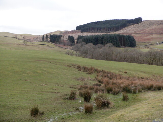
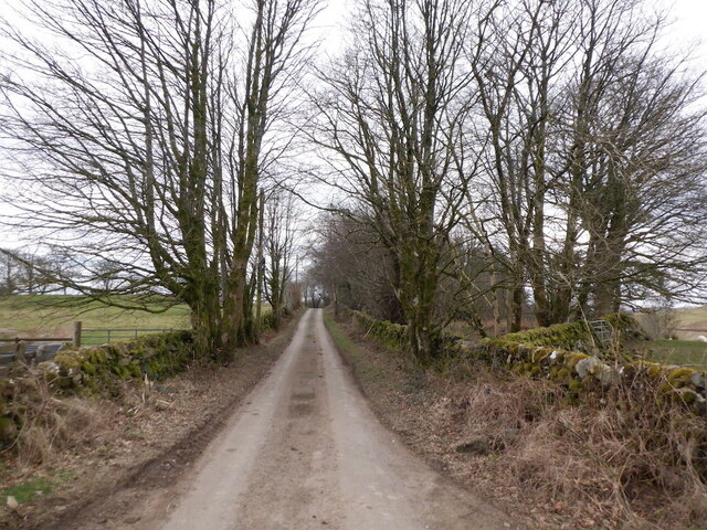
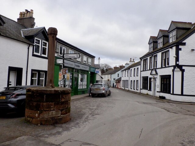
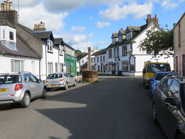
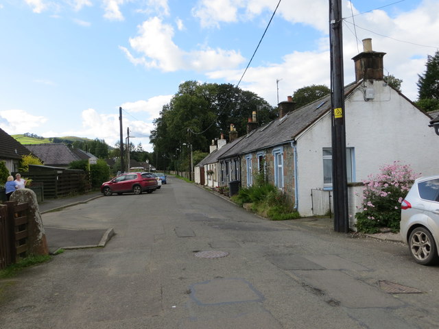
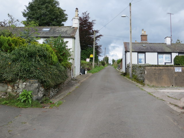
Dunreggan is a small village located in the region of Dumfriesshire, in the southern part of Scotland. Situated near the banks of the River Nith, the village is surrounded by picturesque countryside and offers a tranquil and scenic setting.
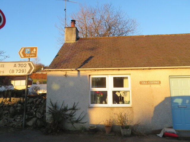
With a population of around 300 residents, Dunreggan is known for its close-knit community and friendly atmosphere. The village is characterized by traditional stone houses and well-maintained gardens, creating a charming and idyllic ambiance.
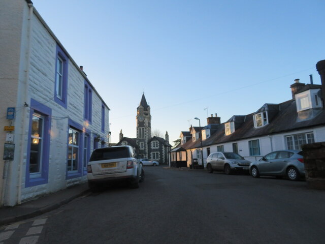
Dunreggan is well-connected to the nearby town of Dumfries, which is approximately 12 miles away. The village benefits from good road links, making it easily accessible for both residents and visitors. The area is also served by a reliable public transportation system, providing convenient access to amenities and services.
Although Dunreggan is a small village, it offers several amenities and facilities to cater to the needs of its residents. These include a village hall, a local shop, and a primary school. For recreational activities, residents can explore the beautiful surrounding countryside, enjoy walks along the river, or take part in various outdoor activities such as fishing and hiking.
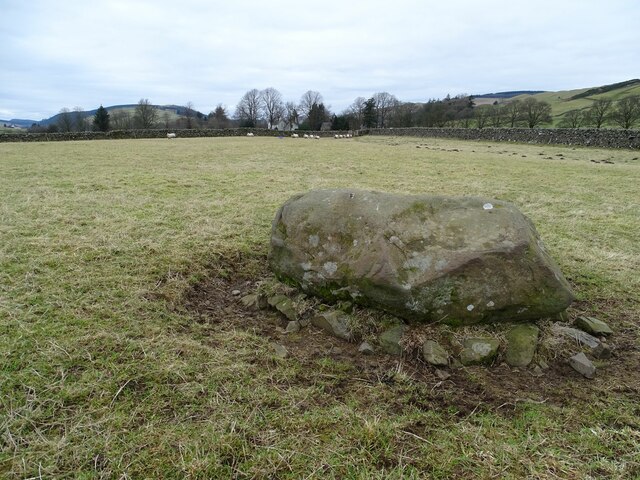
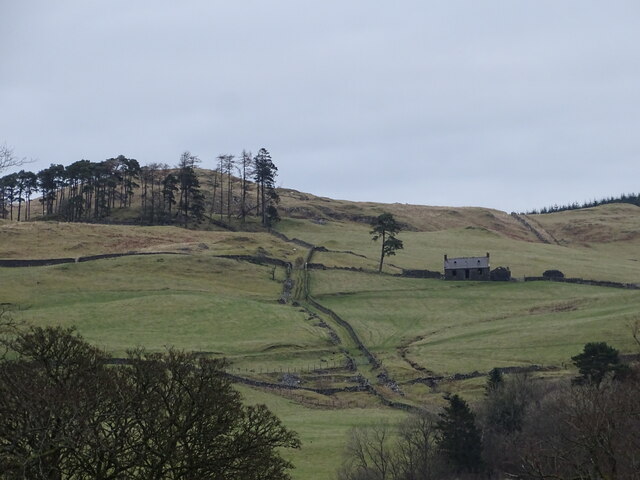
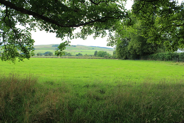
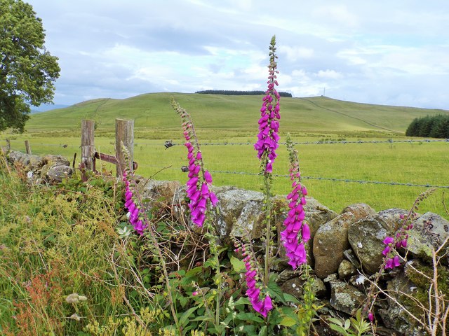
Dunreggan benefits from its proximity to the stunning Dumfriesshire region, which is renowned for its natural beauty and historical landmarks. The area offers opportunities for exploring ancient castles, visiting charming towns and villages, and experiencing the rich cultural heritage of Scotland.
In conclusion, Dunreggan is a peaceful village set in the scenic Dumfriesshire countryside, providing a close-knit community and a range of amenities for its residents. Its idyllic location makes it an attractive destination for those seeking a tranquil and picturesque setting in southern Scotland.
If you have any feedback on the listing, please let us know in the comments section below.
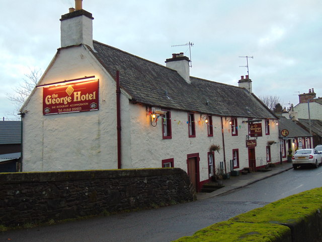
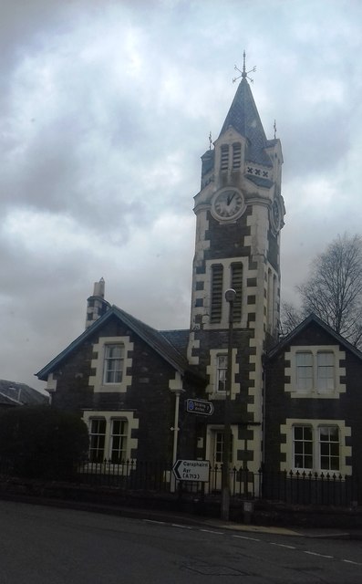
Dunreggan Images
Images are sourced within 2km of 55.198215/-3.9177862 or Grid Reference NX7891. Thanks to Geograph Open Source API. All images are credited.

Dunreggan is located at Grid Ref: NX7891 (Lat: 55.198215, Lng: -3.9177862)
Unitary Authority: Dumfries and Galloway
Police Authority: Dumfries and Galloway
What 3 Words
///grafted.data.ships. Near Thornhill, Dumfries & Galloway
Nearby Locations
Related Wikis

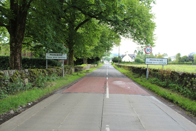
Moniaive
Moniaive ( 'monny-IVE'; Scottish Gaelic: Am Moine Naomh, "The Holy Moor") is a village in the Parish of Glencairn, in Dumfries and Galloway, southwest...

Moniaive railway station
Moniaive railway station is the closed station terminus of the Cairn Valley Light Railway (CVR) branch, from Dumfries. It served the rural area of Moniaive...

Crawfordton House
Crawfordton House is a category B listed 19th-century country house, situated close to Moniaive in Dumfriesshire, Scotland. It was operated as Crawfordton...

Cademuir International School
Cademuir International School was a specialist school at Moniaive in Dumfries and Galloway, Scotland. The school, founded by Robert Mulvey in 1990, was...

Glencairn, Dumfries and Galloway
Glencairn is an ecclesiastical and civil parish in Dumfries and Galloway, Scotland. == Location == According to John Bartholomew's 1887 Gazetteer of the...

Tynron
Tynron is a village and civil parish in Dumfries and Galloway, south-west Scotland, lying in a hollow of the Shinnel Water, 2 miles (3.2 km) from Moniaive...
Kirkland railway station
Kirkland railway station (NX810897) was one of the minor stations on the Cairn Valley Light Railway branch, from Dumfries. It served the rural area around...

Craigdarroch
"Craigdarroch, An Accessory to Murder" is an expansion set for the board game Kill Doctor Lucky Craigdarroch is a house near Moniaive, Dumfries and Galloway...
Nearby Amenities
Located within 500m of 55.198215,-3.9177862Have you been to Dunreggan?
Leave your review of Dunreggan below (or comments, questions and feedback).