Moel y Slates
Hill, Mountain in Merionethshire
Wales
Moel y Slates
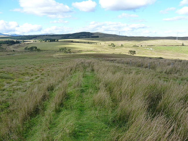
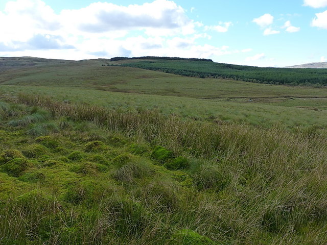
Moel y Slates, located in Merionethshire, is a prominent hill/mountain in the Snowdonia National Park, Wales. Standing at an elevation of 470 meters (1,542 feet), it offers breathtaking panoramic views of the surrounding landscape.
The hill/mountain is characterized by its distinctive shape, with a long ridge stretching from north to south, forming a gentle slope on the eastern side and steeper cliffs on the western face. Its name, Moel y Slates, translates to "bare hill of the slates," reflecting the area's rich slate mining history.
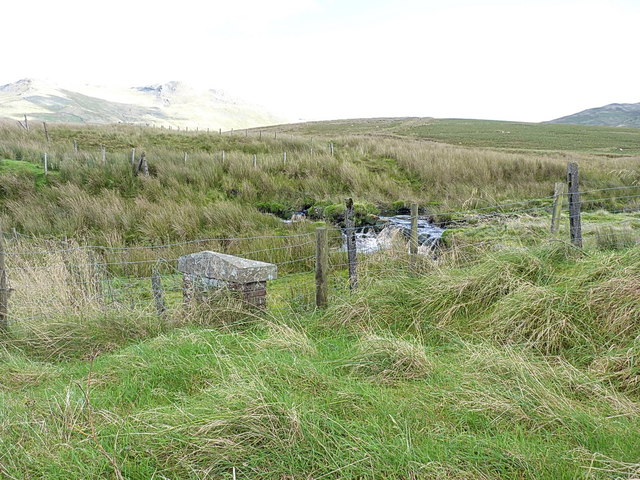
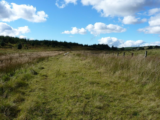
Moel y Slates boasts a diverse range of natural habitats, including heathland, grassland, and rocky outcrops. This diversity attracts a variety of wildlife, making it a popular destination for nature enthusiasts and birdwatchers. Common sightings include red grouse, peregrine falcons, and choughs.
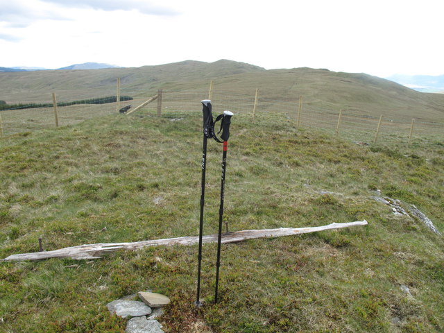
For outdoor enthusiasts, Moel y Slates offers excellent hiking opportunities, with several well-marked trails leading to its summit. The ascent can be challenging at times, particularly on the steeper western side, but the rewarding views from the top make it well worth the effort.
The hill/mountain is easily accessible, with a car park located nearby, providing convenient access to the trails. It is also within close proximity to other popular attractions in Snowdonia, such as the picturesque village of Betws-y-Coed and the stunning Swallow Falls.
Overall, Moel y Slates is a magnificent hill/mountain that combines natural beauty, historical significance, and recreational opportunities. Whether it's for a leisurely hike, wildlife spotting, or simply enjoying the stunning scenery, this Merionethshire gem is a must-visit destination in Snowdonia National Park.
If you have any feedback on the listing, please let us know in the comments section below.
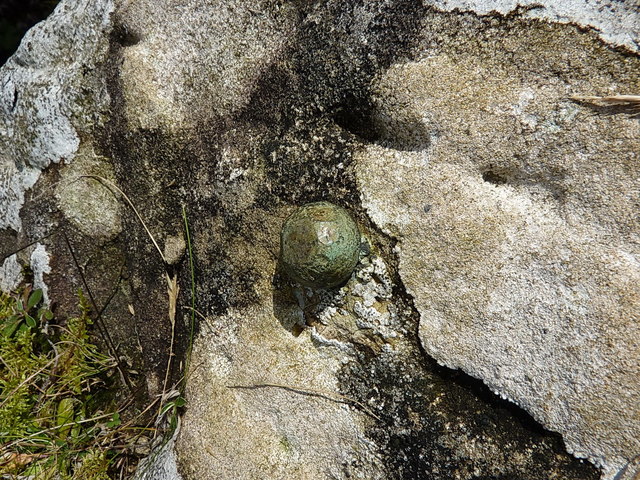
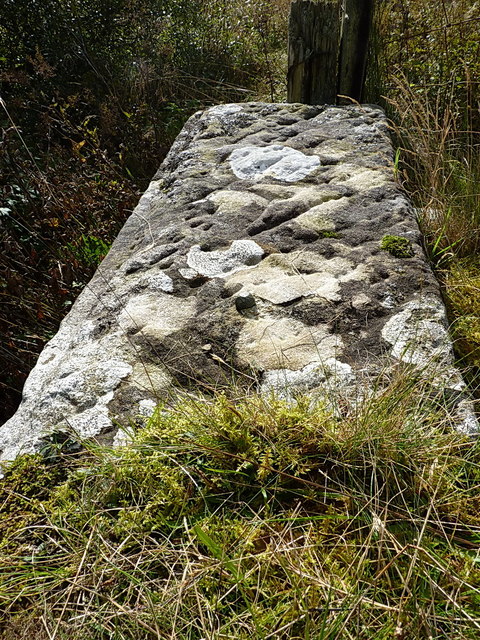
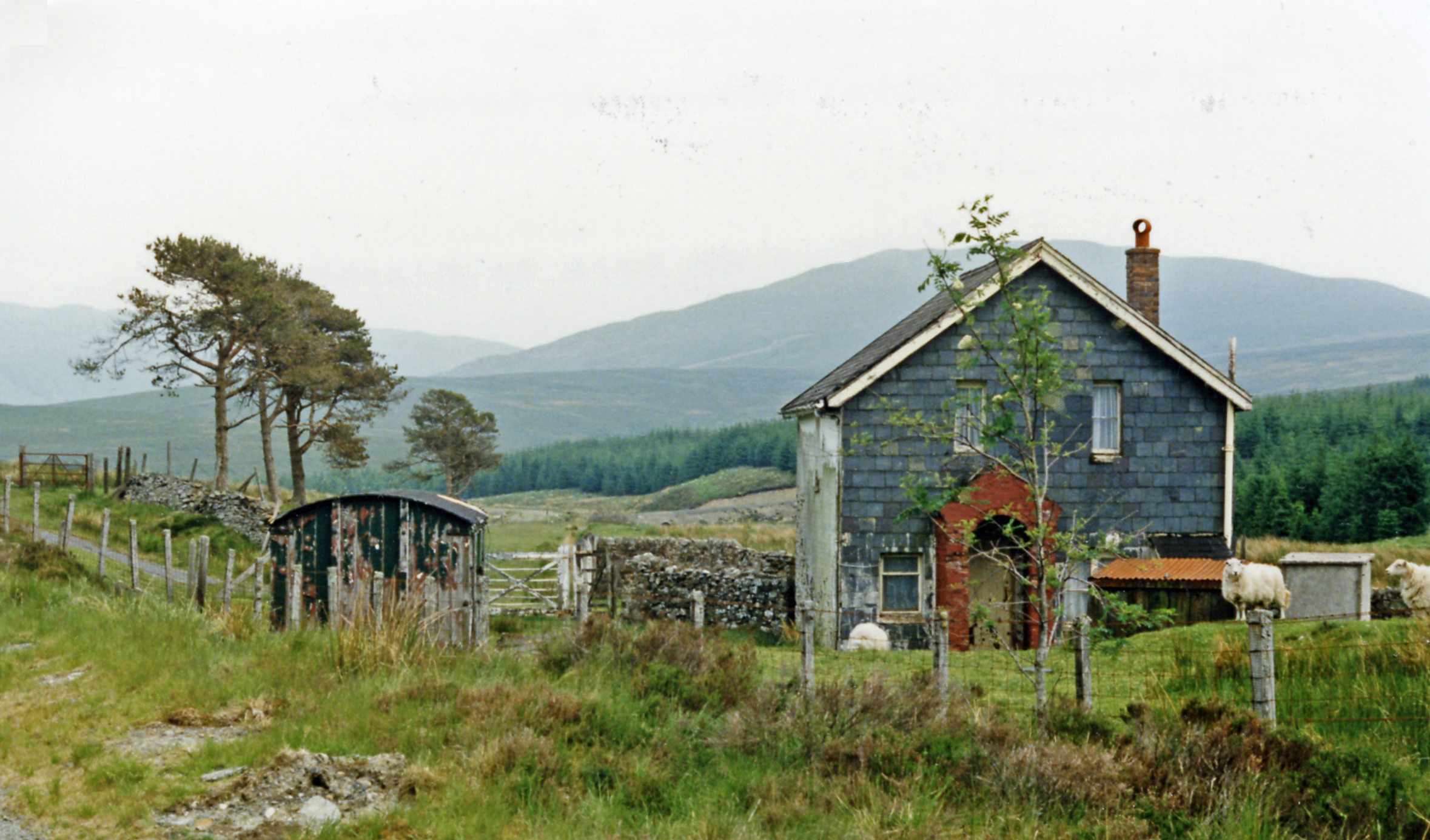
Moel y Slates Images
Images are sourced within 2km of 52.911771/-3.80802 or Grid Reference SH7836. Thanks to Geograph Open Source API. All images are credited.


Moel y Slates is located at Grid Ref: SH7836 (Lat: 52.911771, Lng: -3.80802)
Unitary Authority: Gwynedd
Police Authority: North Wales
What 3 Words
///relax.mixing.arrival. Near Trawsfynydd, Gwynedd
Nearby Locations
Related Wikis
Cwm Prysor Halt railway station
Cwm Prysor Halt (named simply Cwm Prysor until 1953) was a railway station which served the remote rural area of Cwm Prysor, east of Trawsfynydd, Gwynedd...
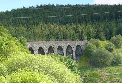
Cwm Prysor Viaduct
Cwm Prysor Viaduct, which is occasionally referred to as Blaen-y-Cwm Viaduct, is a railway viaduct which crosses the Afon Prysor in thinly populated uplands...

Moel Llyfnant
Moel Llyfnant is a mountain in the southern portion of the Snowdonia National Park in Gwynedd, Wales. It is a peak in the Arenig mountain range. It lies...

Snowdonia
Snowdonia, or Eryri (pronounced [ɛrəri] ), is a mountainous region and national park in northwestern Wales. It contains all 15 mountains in Wales over...

Bryn-Celynog Halt railway station
Bryn-Celynog Halt (sometimes written as Bryncelynog Halt) was an unstaffed solely passenger railway station which served the rural area of Bryn-Celynog...
Foel Boeth
Foel Boeth is the twin top of Gallt y Daren in the southern half of the Snowdonia National Park in Gwynedd, North Wales, and forms part of the Arenig mountain...

Gallt y Daren
Gallt y Daren is a peak in the southern half of the Snowdonia National Park in Gwynedd, North Wales, and forms part of the Arenig mountain range. It is...

Arenig Fawr South Top
Arenig Fawr South Top is the twin top of Arenig Fawr in southern Snowdonia, North Wales. It is the second highest member of the Arenig range, being 18...
Nearby Amenities
Located within 500m of 52.911771,-3.80802Have you been to Moel y Slates?
Leave your review of Moel y Slates below (or comments, questions and feedback).