Screel Hill
Hill, Mountain in Kirkcudbrightshire
Scotland
Screel Hill
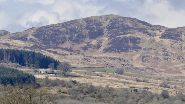
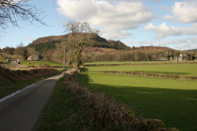
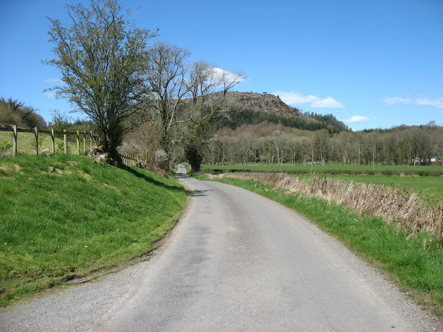
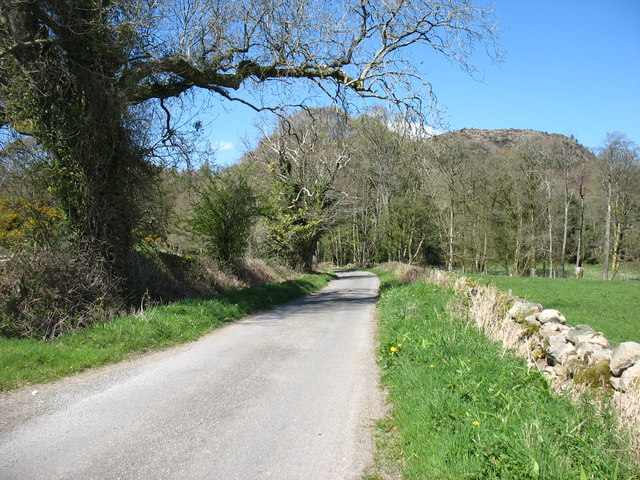
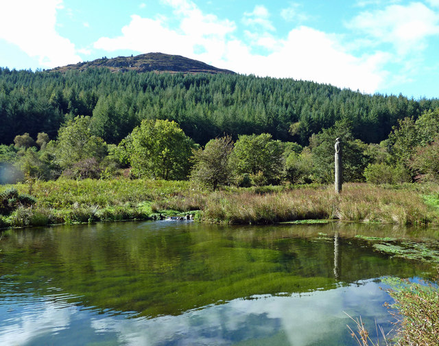
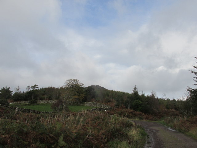
Screel Hill is a prominent hill located in Kirkcudbrightshire, Scotland. Rising to a height of 344 meters (1,129 feet), it offers stunning panoramic views of the surrounding countryside, including the Solway Firth and the Galloway Hills.
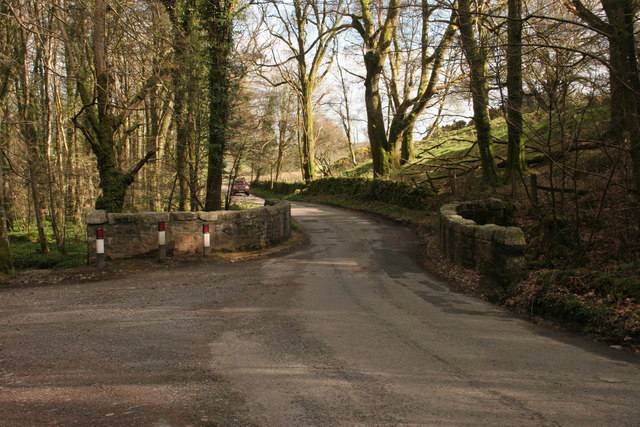
The hill is a popular destination for hikers and outdoor enthusiasts, with several well-marked trails leading to the summit. The most common route starts from the car park at Screel Farm, following a clearly defined path through a mix of woodland and open moorland. The ascent is relatively moderate, making it accessible to hikers of all skill levels.
At the summit, hikers are rewarded with breathtaking views of the rolling hills and coastline below. On a clear day, it is possible to see as far as the Isle of Man and the Lake District in England.
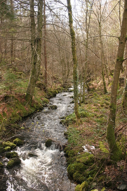
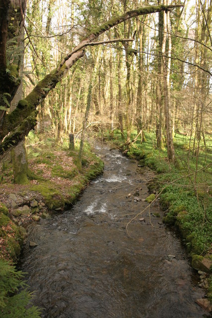
Screel Hill is also known for its diverse wildlife, including a variety of bird species and rare plants. The hill is a designated Site of Special Scientific Interest, recognized for its ecological importance.
Overall, Screel Hill is a must-visit destination for nature lovers and outdoor enthusiasts seeking a challenging yet rewarding hike in the beautiful Scottish countryside.
If you have any feedback on the listing, please let us know in the comments section below.
Screel Hill Images
Images are sourced within 2km of 54.876502/-3.8945086 or Grid Reference NX7855. Thanks to Geograph Open Source API. All images are credited.


Screel Hill is located at Grid Ref: NX7855 (Lat: 54.876502, Lng: -3.8945086)
Unitary Authority: Dumfries and Galloway
Police Authority: Dumfries and Galloway
What 3 Words
///clots.desiring.prepares. Near Castle Douglas, Dumfries & Galloway
Nearby Locations
Related Wikis

Orchardton Castle
Orchardton Castle overlooks the Solway Coast. Built in the 1880s, this is a Grade B listed property formerly known as Orchardton House. Built around a...

Gelston Castle
Gelston Castle, located near Castle Douglas in Kirkcudbrightshire in Dumfries and Galloway, Scotland, was built by Sir William Douglas of Castle Douglas...

Airieland
Airieland is a farm in the historical county of Kirkcudbrightshire, in the Scottish council area of Dumfries and Galloway. It is found 3 miles (5 km) south...

Palnackie
Palnackie is a village in the parish of Buittle in the historical county of Kirkcudbrightshire in Dumfries and Galloway, Scotland. It has a population...
Nearby Amenities
Located within 500m of 54.876502,-3.8945086Have you been to Screel Hill?
Leave your review of Screel Hill below (or comments, questions and feedback).