Hillhead Wood
Wood, Forest in Dumfriesshire
Scotland
Hillhead Wood
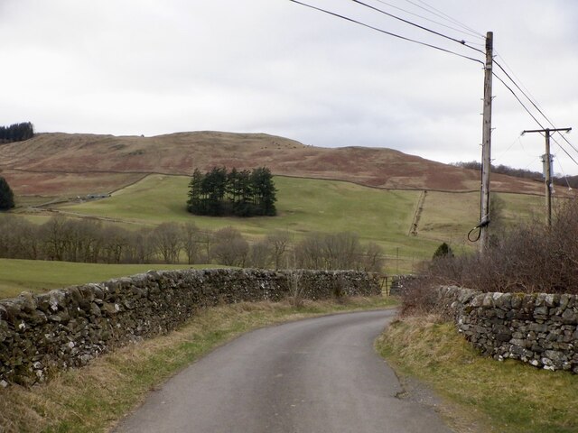
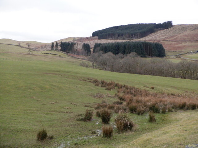
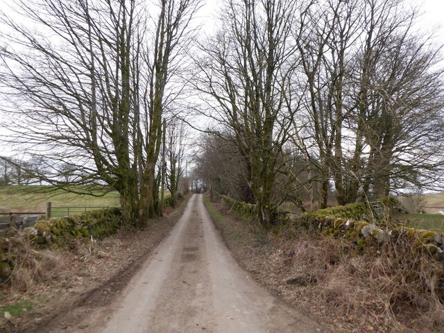
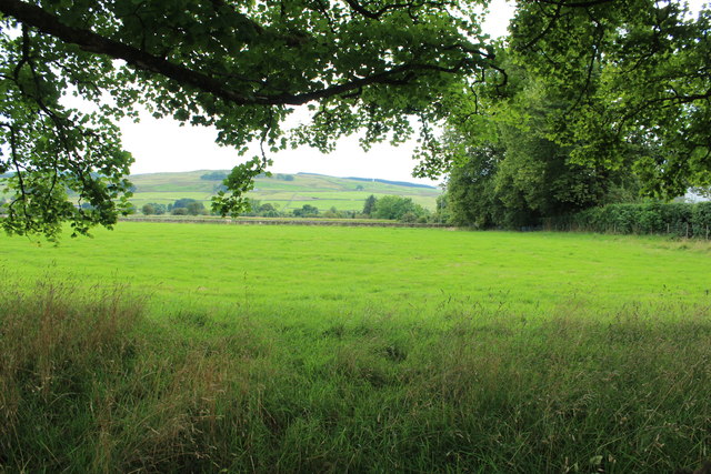
Hillhead Wood is a picturesque woodland located in Dumfriesshire, Scotland. Covering an area of approximately 100 hectares, it is a haven for nature enthusiasts and those seeking tranquility in a beautiful natural setting. The wood is situated on a gentle slope, offering stunning views of the surrounding countryside.
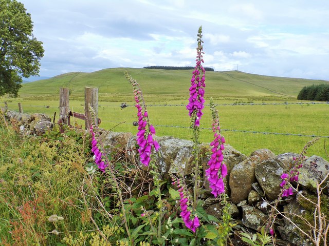
The wood is predominantly composed of deciduous trees, including oak, beech, and birch, which create a vibrant and colorful canopy during the autumn months. The forest floor is adorned with a rich variety of wildflowers, ferns, and mosses, adding to the overall beauty of the woodland.
Hillhead Wood is home to a diverse range of wildlife, providing a vital habitat for numerous species. Birdwatchers can spot a variety of birds including woodpeckers, nuthatches, and jays. Mammals such as red squirrels, badgers, and roe deer also inhabit the wood, making it a fantastic place for wildlife enthusiasts.
The woodland provides ample opportunities for recreational activities such as walking, hiking, and picnicking. There are several well-maintained trails that crisscross the wood, allowing visitors to explore its beauty at their own pace. These paths lead to enchanting spots such as a babbling brook and a small pond, adding to the allure of the woodland.
Hillhead Wood is a truly special place, offering visitors a chance to reconnect with nature and enjoy the peaceful ambiance of a Scottish woodland. Whether it be for a leisurely stroll, birdwatching, or simply enjoying a moment of solitude, this woodland is a must-visit destination for nature lovers in Dumfriesshire.
If you have any feedback on the listing, please let us know in the comments section below.
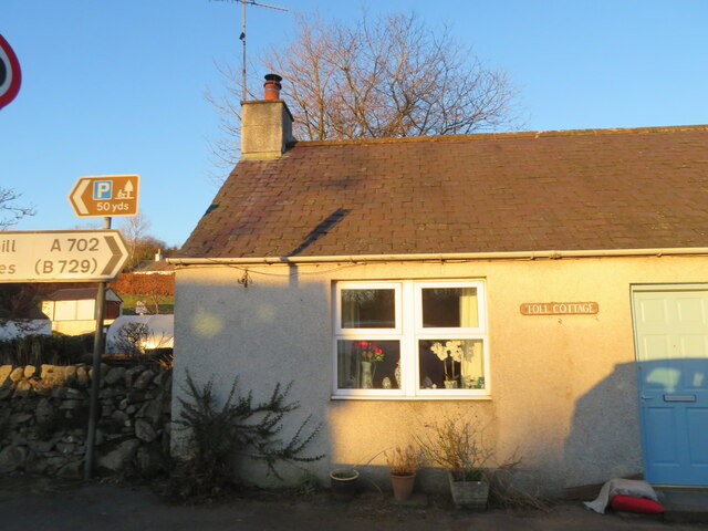
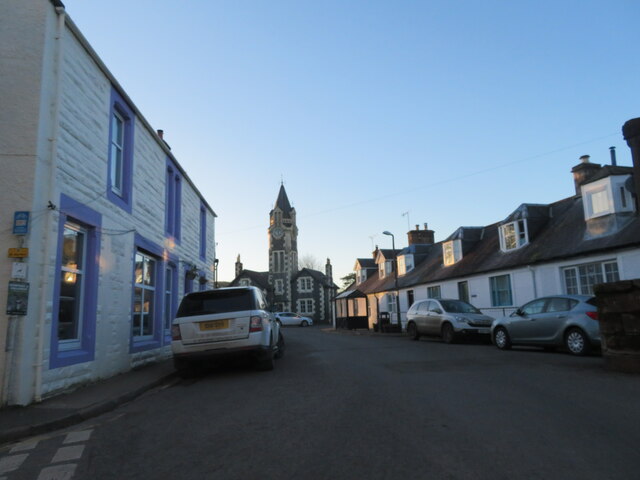
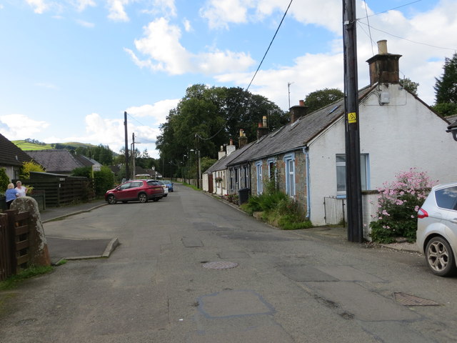
Hillhead Wood Images
Images are sourced within 2km of 55.201991/-3.903982 or Grid Reference NX7891. Thanks to Geograph Open Source API. All images are credited.

Hillhead Wood is located at Grid Ref: NX7891 (Lat: 55.201991, Lng: -3.903982)
Unitary Authority: Dumfries and Galloway
Police Authority: Dumfries and Galloway
What 3 Words
///headboard.examples.volume. Near Thornhill, Dumfries & Galloway
Nearby Locations
Related Wikis

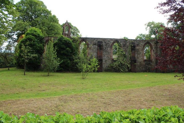
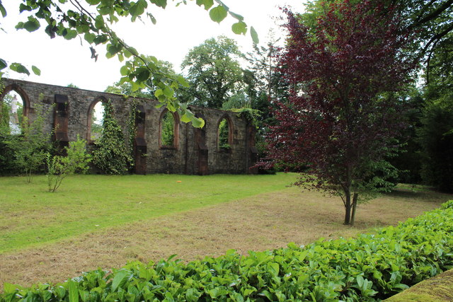
Crawfordton House
Crawfordton House is a category B listed 19th-century country house, situated close to Moniaive in Dumfriesshire, Scotland. It was operated as Crawfordton...

Cademuir International School
Cademuir International School was a specialist school at Moniaive in Dumfries and Galloway, Scotland. The school, founded by Robert Mulvey in 1990, was...

Moniaive railway station
Moniaive railway station is the closed station terminus of the Cairn Valley Light Railway (CVR) branch, from Dumfries. It served the rural area of Moniaive...

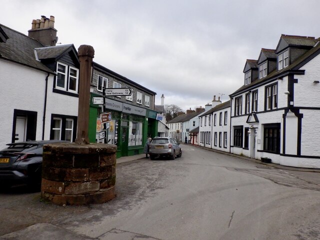
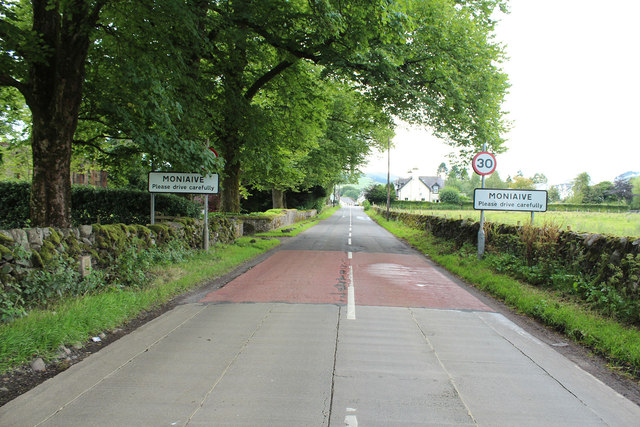
Moniaive
Moniaive ( 'monny-IVE'; Scottish Gaelic: Am Moine Naomh, "The Holy Moor") is a village in the Parish of Glencairn, in Dumfries and Galloway, southwest...
Related Videos

The Striding Arches of Cairnhead | Moniaive, Dumfries & Galloway, Cairnhead | Sculptures on Mountain
The Striding Arches are a spectacular sight, situated on the tops of hills around the abandoned village of Cairnhead, near ...
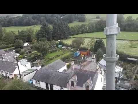
Moniaive
From top of Moniaive clock tower September 2020.

The Striding Arches, Andy Goldsworthy's Dramatic Scupltures on the Southern Upland Way
The Striding Arches are huge sandstone sculptures on the top of three hills in Southern Scotland just outside of Moniaive. One of ...
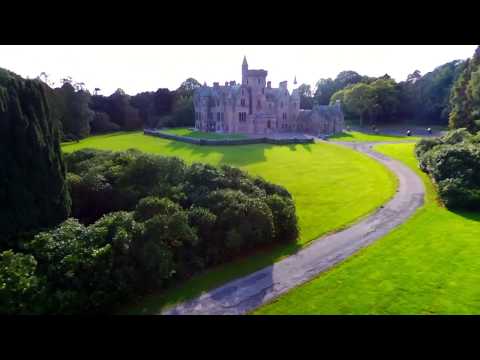
Crawfordton House & Grounds 2018
Crawfordton House & Grounds 2018 (Cademuir)
Nearby Amenities
Located within 500m of 55.201991,-3.903982Have you been to Hillhead Wood?
Leave your review of Hillhead Wood below (or comments, questions and feedback).