Craigton Wood

Wood, Forest in Kirkcudbrightshire

Scotland

Craigton Wood

Hardhills Cottage
Hardhills Cottage Credit: Eirian Evans

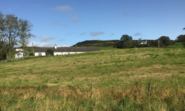
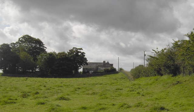
Craigton Wood is a picturesque forest located in Kirkcudbrightshire, Scotland. Covering an area of approximately 150 acres, the wood is a popular destination for nature enthusiasts and hikers looking to explore the lush natural surroundings. The forest is predominantly composed of a mix of native tree species, including oak, beech, and birch, creating a diverse and vibrant ecosystem.

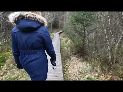
Visitors to Craigton Wood can enjoy a network of well-maintained walking trails that wind through the woodland, providing opportunities to observe local wildlife such as deer, squirrels, and a variety of bird species. The peaceful atmosphere of the forest makes it an ideal spot for birdwatching, photography, or simply enjoying a leisurely stroll in nature.

In addition to its natural beauty, Craigton Wood also boasts historical significance, with remnants of ancient settlements and archaeological sites scattered throughout the forest. The wood is well-preserved and managed by local conservation efforts, ensuring that future generations can continue to enjoy its beauty and biodiversity for years to come.

If you have any feedback on the listing, please let us know in the comments section below.

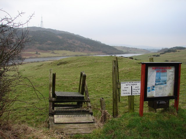
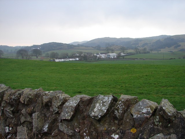
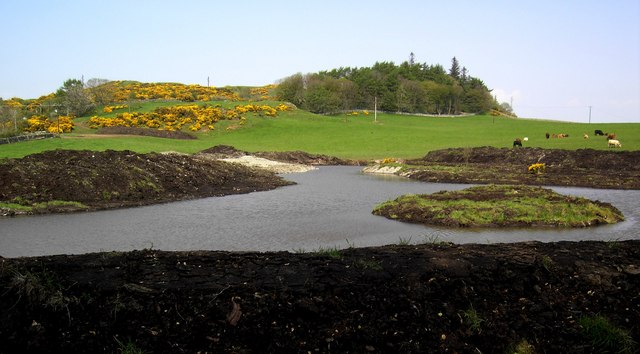
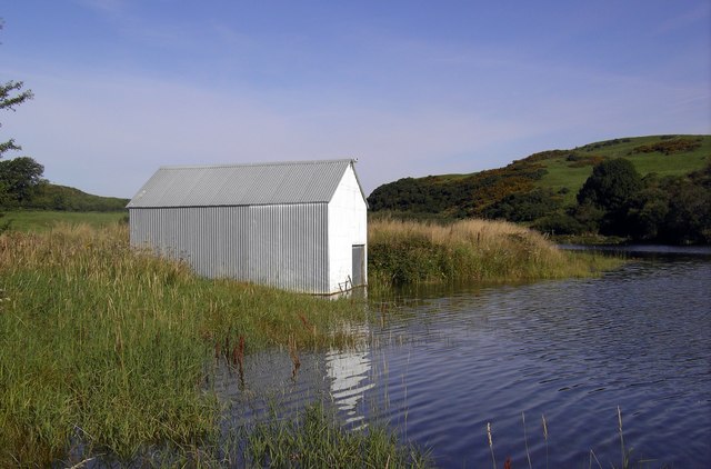
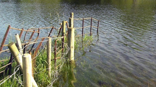
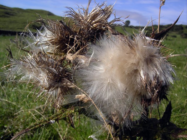
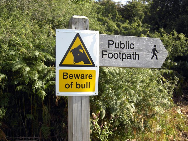
Craigton Wood Images

Images are sourced within 2km of 54.925362/-3.8903907 or Grid Reference NX7860. Thanks to Geograph Open Source API. All images are credited.

Hardhills Cottage
Hardhills Cottage
B727 near Castlegower
Drive to Castlegower From the junction with the B727. The house in amongst the trees is Gillfoot.
Drive to Castlegower
From the junction with the B727. The house in amongst the trees is Gillfoot.
Rough grazing near Breoch Lodge
Old building, Breoch Lodge
Road to Breoch Most of the farm buildings are hidden by the trees on the horizon.
Road to Breoch
Most of the farm buildings are hidden by the trees on the horizon.
The track to Cuil Farm Cuil Farm is hidden over the brow of the hill.
The track to Cuil Farm
Cuil Farm is hidden over the brow of the hill.
Farmland at Castlegower Rolling Galloway hills are the backdrop to farmland at Castlegower.
Farmland at Castlegower
Rolling Galloway hills are the backdrop to farmland at Castlegower.
Dalbeattie Reservoir (Buittle) Officially Dalbeattie Reservoir but known locally as Buittle Reservoir. Rumbling Well (a natural spring leading into the water) was used in the C17 as a spring for sick people, here they left money or clothes as a thanks offering.
The TV-Radio relay transmitter stands on Barskeoch Hill <a href="https://www.geograph.org.uk/gridref/NX8161">NX8161</a>.
Dalbeattie Reservoir (Buittle)
Officially Dalbeattie Reservoir but known locally as Buittle Reservoir. Rumbling Well (a natural spring leading into the water) was used in the C17 as a spring for sick people, here they left money or clothes as a thanks offering. The TV-Radio relay transmitter stands on Barskeoch Hill NX8161.
Hardhills Winter view across the fields of Little Knox toward the A745 at Hardhills Smithy, now a modern farming machinery dealership.
Hardhills
Winter view across the fields of Little Knox toward the A745 at Hardhills Smithy, now a modern farming machinery dealership.
Fishing Pool A fishing pool on Little Knox farm.
Fishing Pool
A fishing pool on Little Knox farm.
Boathouse, Dalbeattie Reservoir The boathouse on Dalbeattie reservoir, a popular fishing spot.
Boathouse, Dalbeattie Reservoir
The boathouse on Dalbeattie reservoir, a popular fishing spot.
Dalbeattie Reservoir An old fence at Dalbeattie Reservoir.
Dalbeattie Reservoir
An old fence at Dalbeattie Reservoir.
Thistledown Thistledown.
Thistledown
Thistledown.
Beware of Bull Beware of Bull on public Footpath.
Beware of Bull
Beware of Bull on public Footpath.
Guffogland From the Guffogland road end looking up towards an old converted farm steading.
Guffogland
From the Guffogland road end looking up towards an old converted farm steading.
B727 at the junction with A745
Radio Mast near Craigton Row, Gelston
Show me another place!

Craigton Wood is located at Grid Ref: NX7860 (Lat: 54.925362, Lng: -3.8903907)

Unitary Authority: Dumfries and Galloway

Police Authority: Dumfries and Galloway

What 3 Words

///motivates.cocktail.reddish. Near Castle Douglas, Dumfries & Galloway

Nearby Locations

Craigton Wood

Related Wikis

Buittle

Buittle is an ecclesiastical and civil parish in Dumfries and Galloway, southwest Scotland, in the traditional county of Kirkcudbrightshire. It lies to...

Gelston Castle

Gelston Castle, located near Castle Douglas in Kirkcudbrightshire in Dumfries and Galloway, Scotland, was built by Sir William Douglas of Castle Douglas...

Castle Douglas Hospital

Castle Douglas Hospital is a health facility in Academy Street, Castle Douglas, Dumfries and Galloway, Scotland. It is managed by NHS Dumfries and Galloway...

Carlingwark Loch

Carlingwark Loch is a small freshwater loch in the historical county of Kirkcudbrightshire, Dumfries and Galloway, Scotland lying just south of Castle...

Related Videos

Carlingwark Loch parkrun, theme being cold and really needing a parkrun dryrobe (sold out)

This is a video about my trip to Carlingwark Loch parkrun in Castle Douglas. I travelled by public transport using trams, trains and ...

Caravan weekend in Castle Douglas at Lochside caravan park.

Our trip to Lochside Caravan park, Castle Douglas, a walk to Dalbeattie town wood and Sandyhills beach,

ONE VANLIFE DISASTER AFTER ANOTHER !

AD Try Readly, with my link you can get 2 months free, which can be cancelled at any time: http://readly.com/northerners-nov We ...

Nearby Amenities

Located within 500m of 54.925362,-3.8903907
Power: pole
Lat/Long: 54.9234458/-3.8836187
Power: pole
Lat/Long: 54.9231776/-3.8843161
Power: pole
Lat/Long: 54.9227491/-3.8853031
Power: pole
Lat/Long: 54.9223822/-3.8861775
Power: pole
Lat/Long: 54.9218951/-3.8873255
Power: pole
Lat/Long: 54.9214697/-3.8883233
Power: pole
Lat/Long: 54.9210412/-3.8893372
Power: pole
Lat/Long: 54.924498/-3.88311
Power: pole
Lat/Long: 54.9240304/-3.884168
Power: pole
Lat/Long: 54.9237191/-3.8848945
Power: pole
Lat/Long: 54.9232259/-3.8860354
Power: pole
Lat/Long: 54.922779/-3.8877243
Power: pole
Lat/Long: 54.9225361/-3.8886208
Power: pole
Lat/Long: 54.9223065/-3.8894961
Power: pole
Lat/Long: 54.9220953/-3.8902864
Power: pole
Lat/Long: 54.9217351/-3.8916503
Power: pole
Lat/Long: 54.9215776/-3.8926063
Power: pole
Lat/Long: 54.921436/-3.89342
The data included in this document is from www.openstreetmap.org. The data is made available under ODbL.

Have you been to Craigton Wood?

Leave your review of Craigton Wood below (or comments, questions and feedback).