Ashburton Down
Hill, Mountain in Devon Teignbridge
England
Ashburton Down
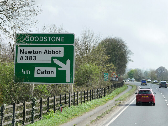
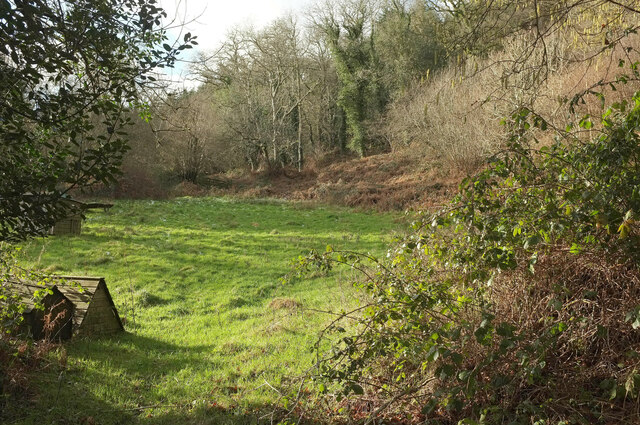
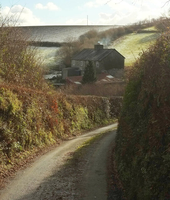
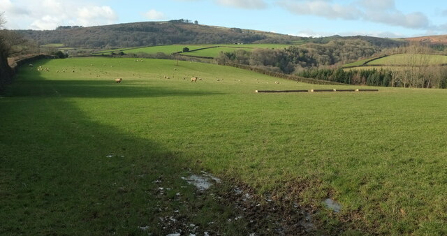
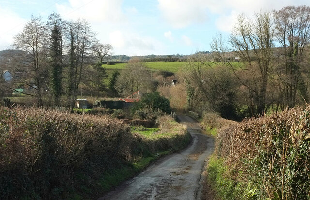
Ashburton Down is a prominent hill located in the county of Devon, England. Situated near the town of Ashburton, the down is part of the Dartmoor National Park and offers breathtaking views of the surrounding landscape. Rising to an elevation of approximately 499 meters (1,637 feet), it is considered one of the highest points in the area.
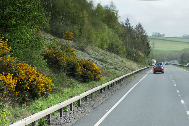
The down is characterized by its rugged terrain, covered in vast stretches of heather and gorse, giving it a distinct and picturesque appearance. It is a popular destination for outdoor enthusiasts, particularly hikers and walkers, who are drawn to its challenging trails and panoramic vistas.
At the summit of Ashburton Down, visitors are rewarded with stunning views that span across the rolling hills of Dartmoor, revealing an expanse of undulating moorland and scattered granite tors. On clear days, it is even possible to catch a glimpse of the English Channel in the distance.
The down is also home to a rich variety of wildlife, including birds of prey, such as kestrels and buzzards, as well as numerous species of butterflies and wildflowers. It is a designated Site of Special Scientific Interest, highlighting its importance for conservation and ecological diversity.
For those seeking a peaceful and tranquil escape amidst nature, Ashburton Down provides an idyllic setting. Whether it be a leisurely stroll or a more challenging hike, this hill in Devon offers a truly unforgettable experience for all who venture to its summit.
If you have any feedback on the listing, please let us know in the comments section below.
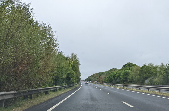
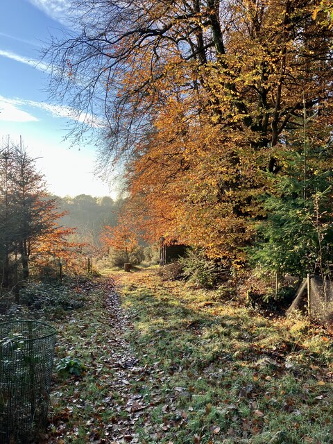
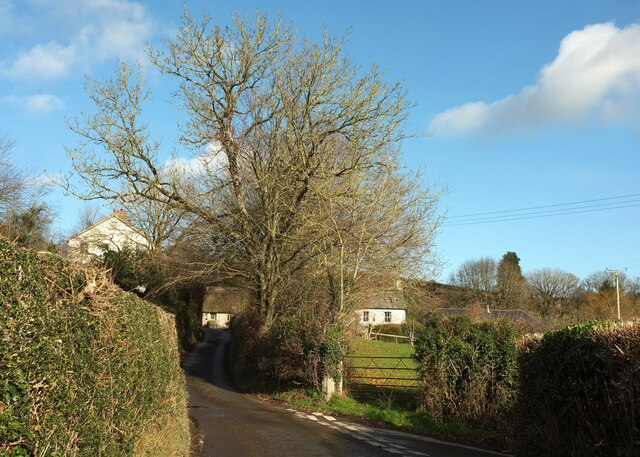
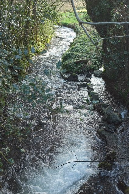
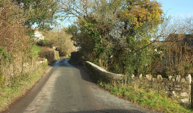
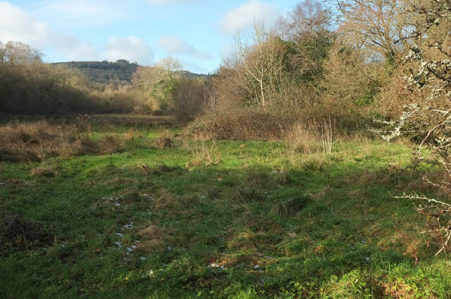
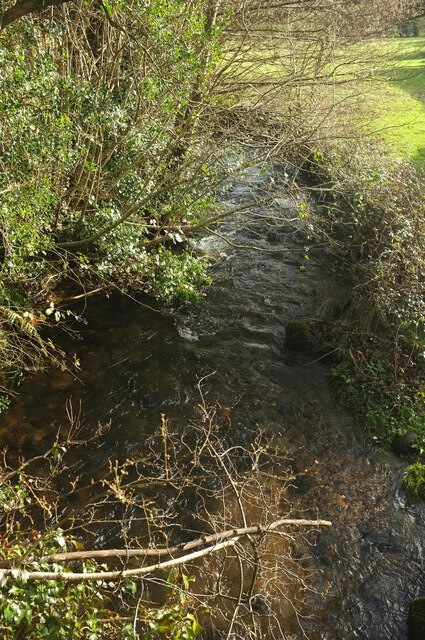
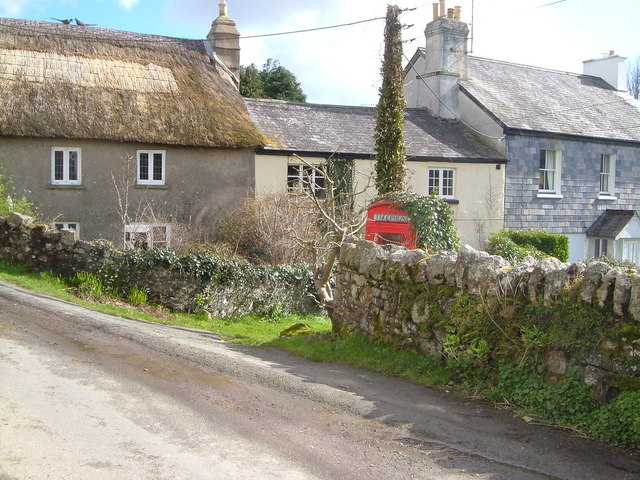
Ashburton Down Images
Images are sourced within 2km of 50.53975/-3.7339629 or Grid Reference SX7772. Thanks to Geograph Open Source API. All images are credited.


Ashburton Down is located at Grid Ref: SX7772 (Lat: 50.53975, Lng: -3.7339629)
Administrative County: Devon
District: Teignbridge
Police Authority: Devon and Cornwall
What 3 Words
///creeps.peach.giggle. Near Ashburton, Devon
Nearby Locations
Related Wikis

Church of St Peter, Shaldon
The Church of St Peter is the Church of England parish church of the village of Shaldon, Devon. Designed by Edmund Harold Sedding, and with later additions...

River Sig
The River Sig is a 2.4 mile long river on Dartmoor in the county of Devon, England. It is a tributary to the River Lemon which it meets at Sigford. �...
Sigford
Sigford is a small hamlet in the Parish of Ilsington, on the eastern edge of Dartmoor, Devon, England. It is situated at the confluence of three rivers...
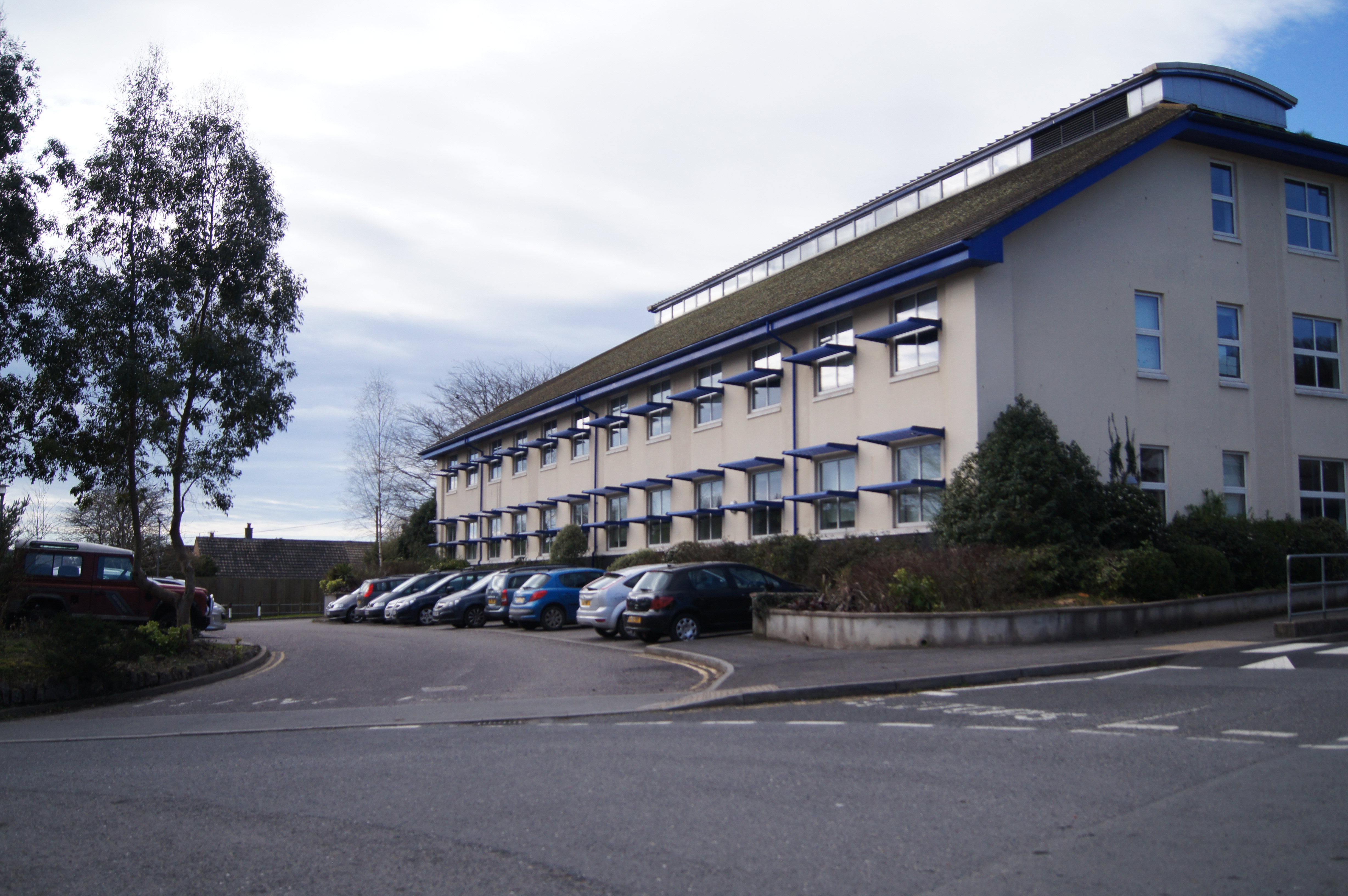
South Dartmoor Community College
South Dartmoor Community College (SDCC) is a co-educational academy school located in Ashburton, Devon, England. The number of students on roll is 1,650...
Nearby Amenities
Located within 500m of 50.53975,-3.7339629Have you been to Ashburton Down?
Leave your review of Ashburton Down below (or comments, questions and feedback).