Broom Hill

Hill, Mountain in Perthshire

Scotland

Broom Hill

The White Church A view of the White Church in the village of Comrie taken from the Dalginross Bridge.
The White Church Credit: Mr S Mudgey

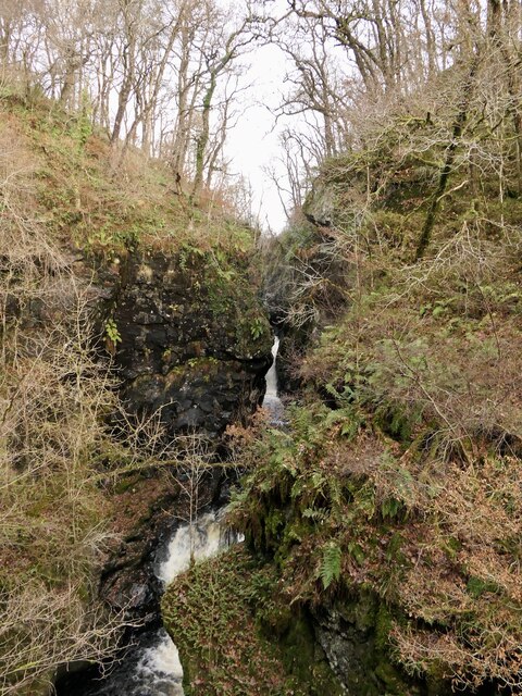
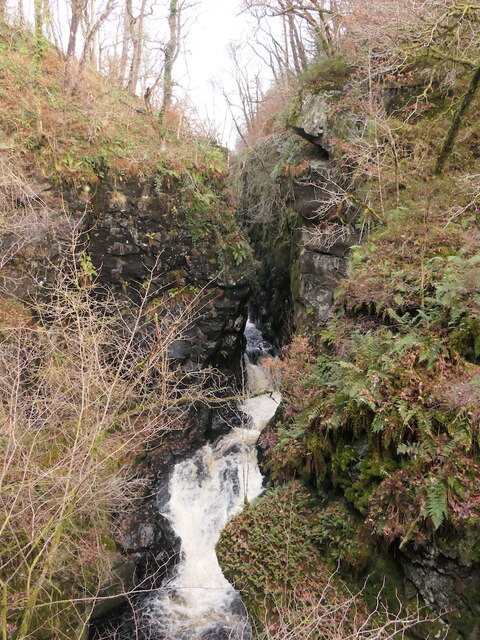
Broom Hill is a prominent hill located in the county of Perthshire, Scotland. Standing at an elevation of approximately 300 meters (984 feet), it is considered more of a hill than a mountain. Situated near the village of Dunning, Broom Hill offers stunning panoramic views of the surrounding countryside and the Ochil Hills to the south.

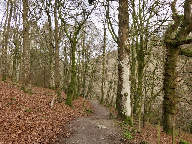
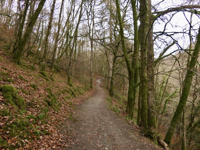
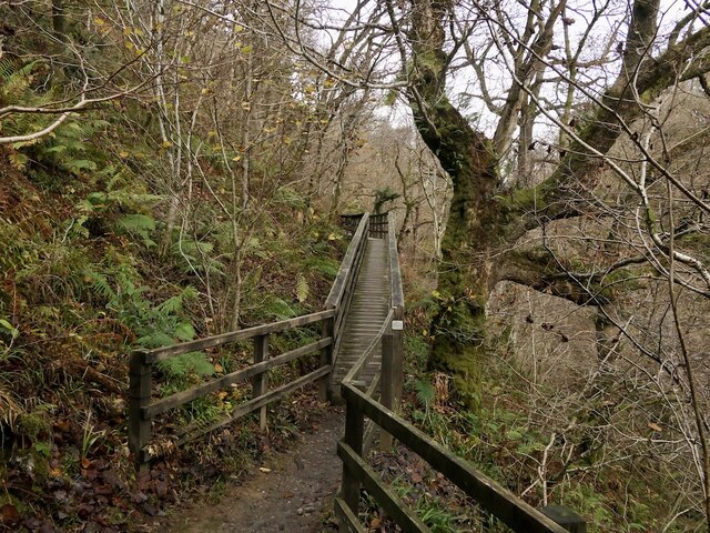
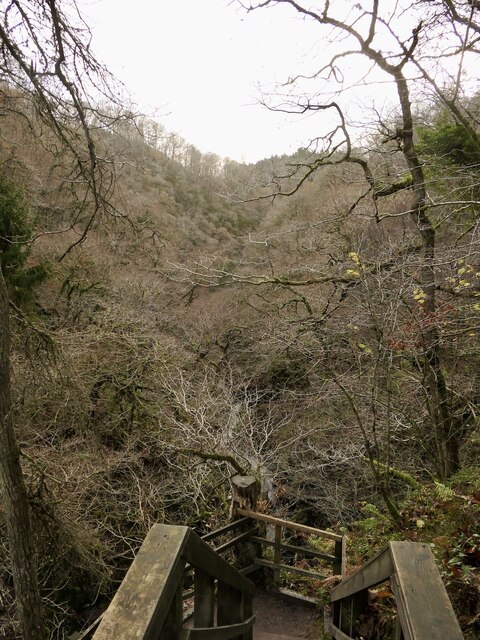
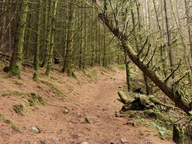
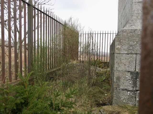
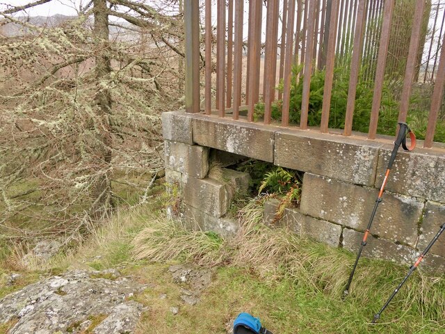
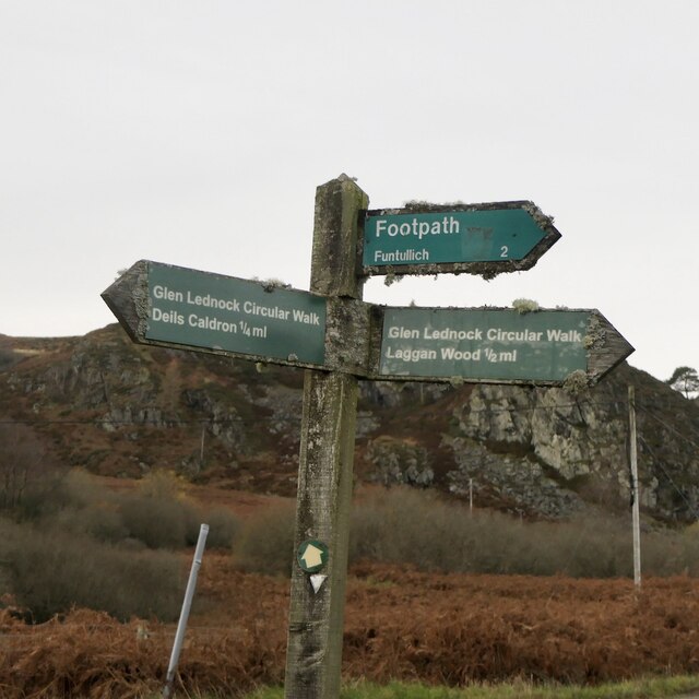
The hill is easily accessible, with a well-established footpath leading to its summit. The path is well-maintained and suitable for walkers of all abilities, making it a popular destination for both locals and tourists. The ascent to the top is relatively gentle, making it an enjoyable and leisurely hike for those looking to experience the beauty of the Scottish landscape.

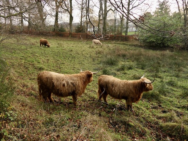
At the summit of Broom Hill, visitors are rewarded with breathtaking views that stretch for miles. On a clear day, one can see as far as the city of Perth and the River Tay. The panoramic vista also includes the picturesque rolling hills and farmland that characterize the region.

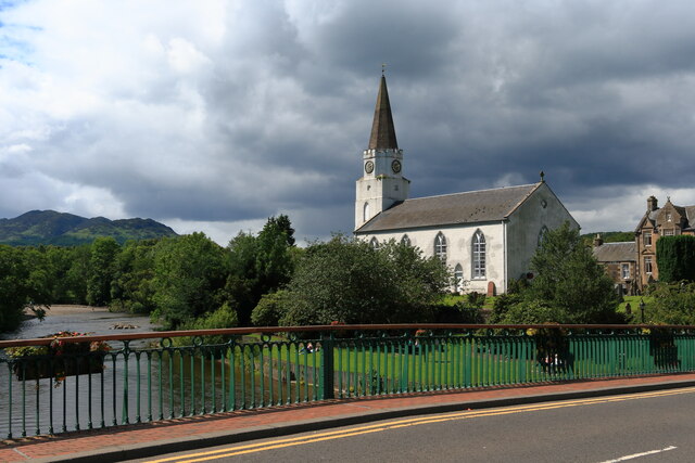
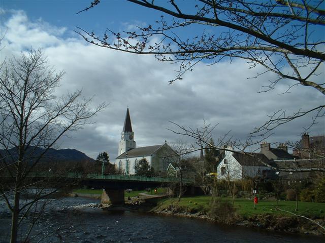
Aside from its natural beauty, Broom Hill also has historical significance. At the foot of the hill lies the village of Dunning, which is known for its ancient Pictish symbol stone and the ruins of St. Serf's Church, dating back to the 12th century.

Overall, Broom Hill offers a fantastic opportunity to experience the scenic beauty of Perthshire, providing a memorable and enjoyable outdoor experience for nature enthusiasts and history lovers alike.

If you have any feedback on the listing, please let us know in the comments section below.
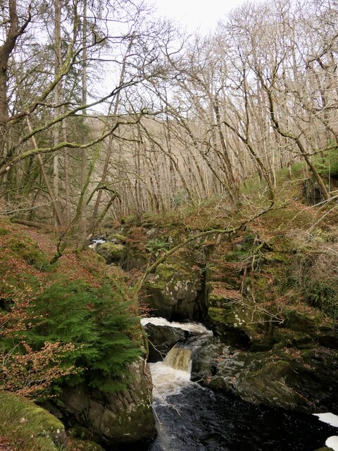
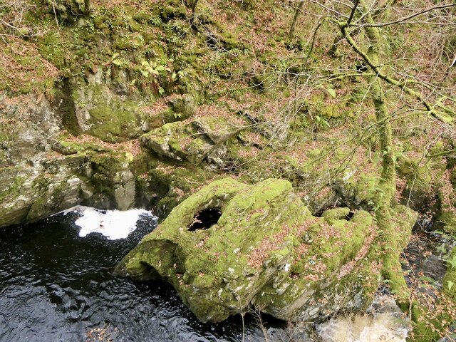
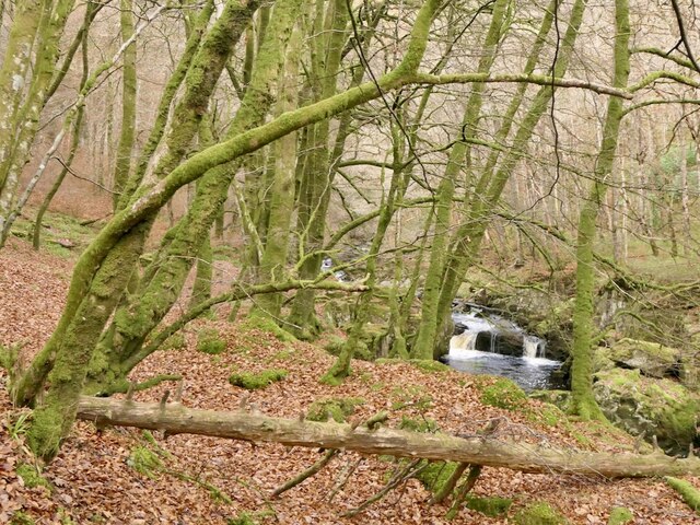
Broom Hill Images

Images are sourced within 2km of 56.388154/-3.9901359 or Grid Reference NN7723. Thanks to Geograph Open Source API. All images are credited.

The White Church A view of the White Church in the village of Comrie taken from the Dalginross Bridge.
The White Church
A view of the White Church in the village of Comrie taken from the Dalginross Bridge.
Fallen beech At the edge of the woodland by Comrie House.
Fallen beech
At the edge of the woodland by Comrie House.
Highland cattle, Comrie House
Woodland, Comrie Mainly oakwood, connected to Twenty Shilling Wood
Woodland, Comrie
Mainly oakwood, connected to Twenty Shilling Wood
Path at the foot of Glen Lednock Part of the popular Comrie Circular Walk it gives good views of the Deil's Cauldron and Wee Cauldron.
Path at the foot of Glen Lednock
Part of the popular Comrie Circular Walk it gives good views of the Deil's Cauldron and Wee Cauldron.
Path beside the Lednock Near the Wee Cauldron waterfalls.
Path beside the Lednock
Near the Wee Cauldron waterfalls.
Little Cauldron, Glen Lednock Lower falls on the way down from the hanging Glen Lednock.
Little Cauldron, Glen Lednock
Lower falls on the way down from the hanging Glen Lednock.
Rock and pot hole, Wee Cauldron Amongst waterfalls on the River Lednock.
Rock and pot hole, Wee Cauldron
Amongst waterfalls on the River Lednock.
River Lednock Between the Deil's Cauldron and the Wee Cauldron, set in oak woods.
River Lednock
Between the Deil's Cauldron and the Wee Cauldron, set in oak woods.
Path near the Deil's Cauldron A bridge, along the side of the steep gorge downstream of the waterfalls. Part of the Lednock Circular Walk.
Path near the Deil's Cauldron
A bridge, along the side of the steep gorge downstream of the waterfalls. Part of the Lednock Circular Walk.
Gorge above the Deil's Cauldron View from the walkway (built by the Royal Engineers and University of London OTC) before the steps down to the gorge and waterfall viewpoint.
Gorge above the Deil's Cauldron
View from the walkway (built by the Royal Engineers and University of London OTC) before the steps down to the gorge and waterfall viewpoint.
Deil's Cauldron, Glen Lednock A narrow defile and series of waterfalls where the river cuts down to Strath Earn around the Highland Boundary Fault. It is well served by paths on the west (river right) side with a viewing platform. Like many waterfalls it hides away somewhat.
Deil's Cauldron, Glen Lednock
A narrow defile and series of waterfalls where the river cuts down to Strath Earn around the Highland Boundary Fault. It is well served by paths on the west (river right) side with a viewing platform. Like many waterfalls it hides away somewhat.
Path, Dun More A path to the Melville Monument. It is steep but well built, picking a way up a craggy hillside. There is a car park at the foot, also handy for the Deil's Cauldron.
Path, Dun More
A path to the Melville Monument. It is steep but well built, picking a way up a craggy hillside. There is a car park at the foot, also handy for the Deil's Cauldron.
Path, Dun More A steep pull up from the road but here it joins an older path which uses zigzags to get up the craggy hillside to the Melville Monument,
Path, Dun More
A steep pull up from the road but here it joins an older path which uses zigzags to get up the craggy hillside to the Melville Monument,
Summit, Dun More Inside the railings surrounding the monument to Henry Dundas, who more or less ran Scotland around the end of the 18th Century.
Summit, Dun More
Inside the railings surrounding the monument to Henry Dundas, who more or less ran Scotland around the end of the 18th Century.
Hole in the wall, Melville Monument The way to the summit of Dun More.
Hole in the wall, Melville Monument
The way to the summit of Dun More.
Signpost, Glen Lednock On the circular walk which goes up one side of the Lednock and down the other, mostly through scenic woodlands.
Signpost, Glen Lednock
On the circular walk which goes up one side of the Lednock and down the other, mostly through scenic woodlands.
Show me another place!

Broom Hill is located at Grid Ref: NN7723 (Lat: 56.388154, Lng: -3.9901359)

Unitary Authority: Perth and Kinross

Police Authority: Tayside

What 3 Words

///delusions.cried.foal. Near Comrie, Perth & Kinross

Nearby Locations

Broom Hill Laggan Wood

Related Wikis

Comrie, Perth and Kinross

Comrie (; Gaelic: Cuimridh; Pictish: Aberlednock; Latin: Victoria) is a village and parish in the southern Highlands of Scotland, towards the western end...

1 Dunira Street

1 Dunira Street is an historic building in Comrie, Perth and Kinross, Scotland. It is a Category A listed building dating to 1904. Its architect was Charles...

Dalchonzie

Dalchonzie is a place by the river Earn in Perthshire. Buildings there include a country house, a hydro-electric power station and farms. From 1903 to...

Dalchonzie Halt railway station

Dalchonzie Halt railway station, Dalchonzie Platform railway station or Dalchonzie Siding in the Parish of Comrie, Perth and Kinross, Scotland was an intermediate...

Dunira, Perthshire

Dunira (Scottish Gaelic: Dùn Iar) is an estate of about 350 hectares (860 acres) in Perthshire, Scotland, 3 miles (5 kilometres) northwest of Comrie and...

Aberuchill Castle

Aberuchill Castle is located 3 kilometres (1.9 mi) west of Comrie in Perthshire, Scotland. It comprises an early 17th-century tower house, which was extended...
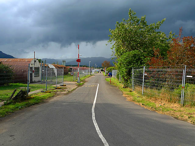
Cultybraggan Camp

Cultybraggan Camp lies close to the village of Comrie, in west Perthshire, Scotland. It was first used as a prisoner of war (PoW) camp during World War...

Central Lowlands

The Central Lowlands, sometimes called the Midland Valley or Central Valley, is a geologically defined area of relatively low-lying land in southern Scotland...

Nearby Amenities

Located within 500m of 56.388154,-3.9901359
Deil's Cauldron
Alt Name: Falls of Lednock
Name Gd: Sloch an Donais
Tourism: attraction
Waterway: waterfall
Lat/Long: 56.3883313/-3.9970812
Barrier: kissing_gate
Lat/Long: 56.3898813/-3.9941192
Deil's Cauldron
Tourism: viewpoint
Lat/Long: 56.3880457/-3.9970538
Bench
Backrest: yes
Lat/Long: 56.3903411/-3.9952745
Bench
Lat/Long: 56.3899705/-3.9920144
The data included in this document is from www.openstreetmap.org. The data is made available under ODbL.

Have you been to Broom Hill?

Leave your review of Broom Hill below (or comments, questions and feedback).