Alston Wood
Wood, Forest in Devon Teignbridge
England
Alston Wood

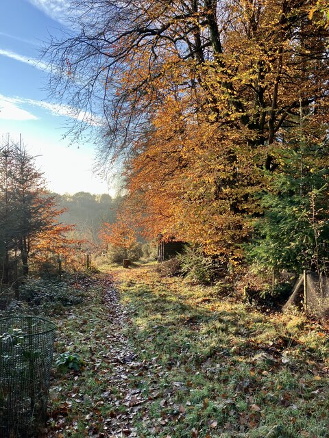
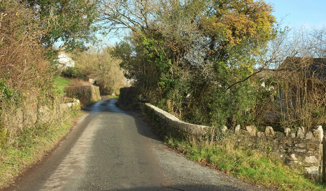
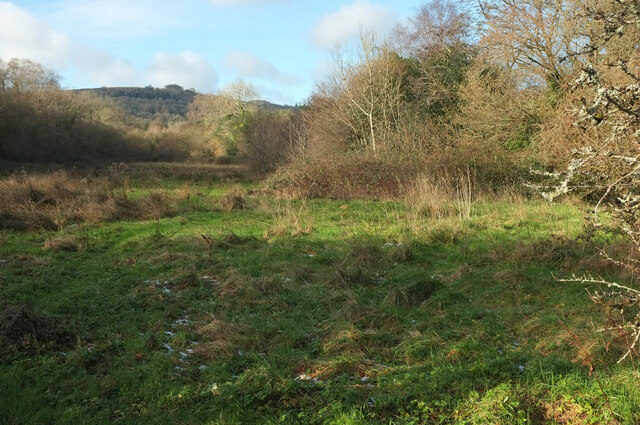
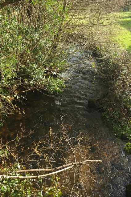
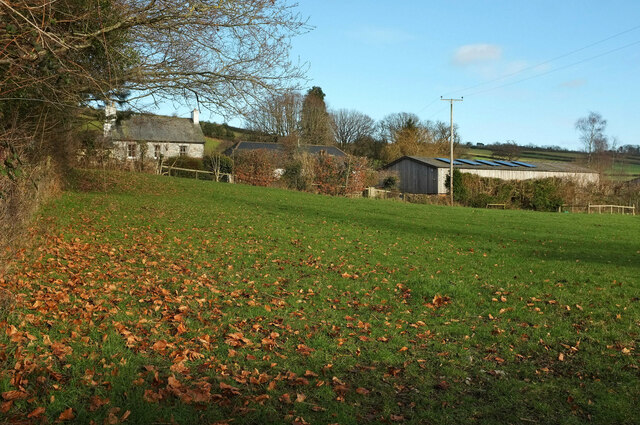
Alston Wood is a picturesque forest located in the county of Devon, England. Spread over a vast area, it is known for its lush greenery and diverse flora and fauna. The wood is situated near the village of Alston, which adds to its charm and accessibility.
The forest boasts a rich history, dating back several centuries. It has been carefully preserved and managed by local authorities, ensuring its natural beauty remains intact. The wood is primarily made up of deciduous trees such as oak, beech, and ash, creating a vibrant tapestry of colors throughout the year. This makes it a popular destination for nature lovers, hikers, and photographers.
Alston Wood is home to a variety of wildlife, providing a habitat for numerous species. Visitors may catch glimpses of deer, foxes, badgers, and a wide array of bird species. The forest also features a network of well-maintained walking trails, allowing visitors to explore its beauty at their own pace.
In addition to its natural wonders, Alston Wood offers recreational activities for visitors of all ages. It has designated picnic areas, perfect for enjoying a leisurely day out with family and friends. The forest also hosts educational programs and workshops, focusing on environmental conservation and sustainability.
Whether one seeks tranquility amidst nature, an opportunity to spot wildlife, or simply a break from the bustling city life, Alston Wood in Devon is a destination that offers an unforgettable experience.
If you have any feedback on the listing, please let us know in the comments section below.
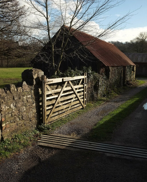
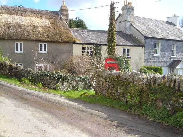
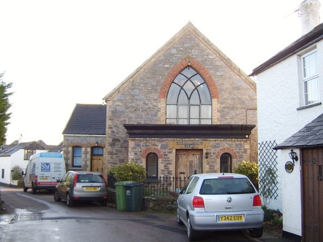
Alston Wood Images
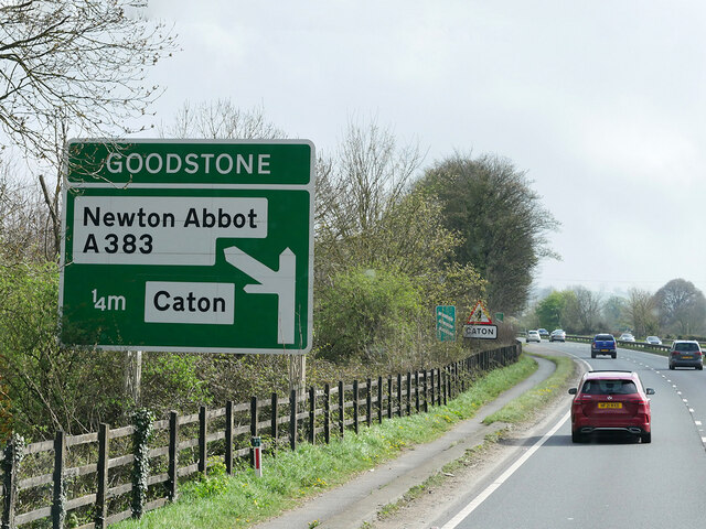
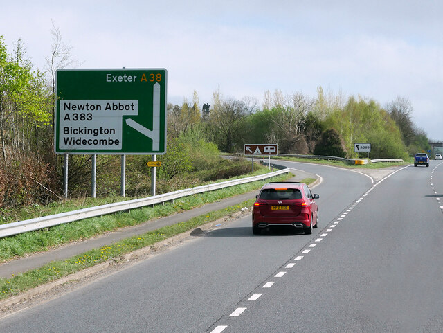
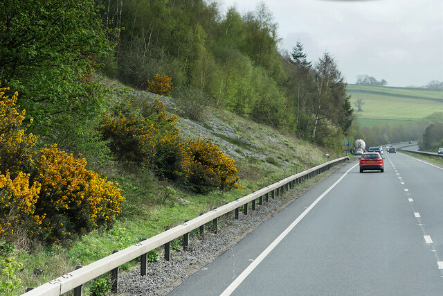
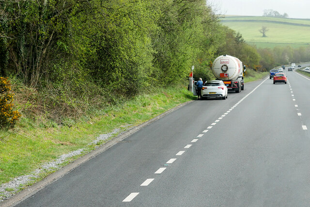
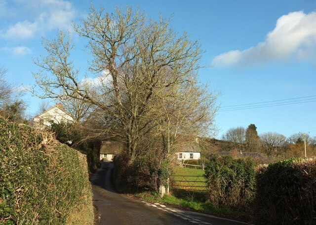
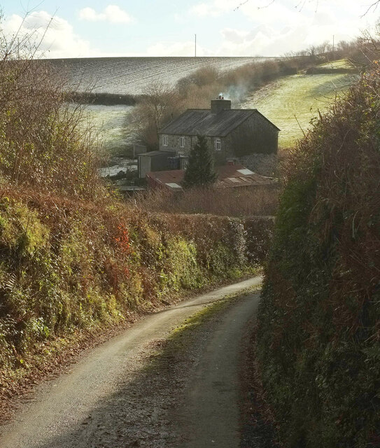
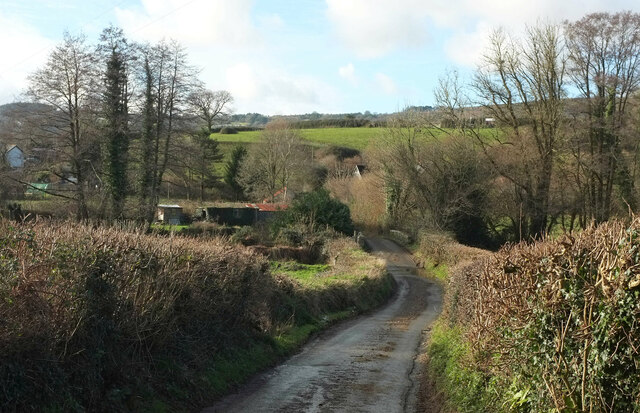
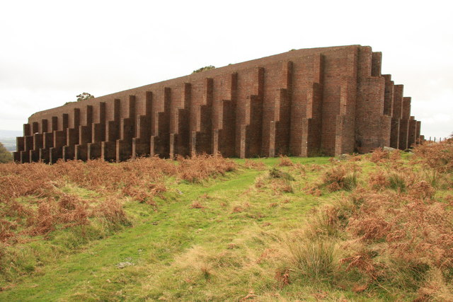
Images are sourced within 2km of 50.538176/-3.7345826 or Grid Reference SX7772. Thanks to Geograph Open Source API. All images are credited.


Alston Wood is located at Grid Ref: SX7772 (Lat: 50.538176, Lng: -3.7345826)
Administrative County: Devon
District: Teignbridge
Police Authority: Devon and Cornwall
What 3 Words
///crypt.puncture.muted. Near Ashburton, Devon
Nearby Locations
Related Wikis

Church of St Peter, Shaldon
The Church of St Peter is the Church of England parish church of the village of Shaldon, Devon. Designed by Edmund Harold Sedding, and with later additions...

River Sig
The River Sig is a 2.4 mile long river on Dartmoor in the county of Devon, England. It is a tributary to the River Lemon which it meets at Sigford. �...
Sigford
Sigford is a small hamlet in the Parish of Ilsington, on the eastern edge of Dartmoor, Devon, England. It is situated at the confluence of three rivers...
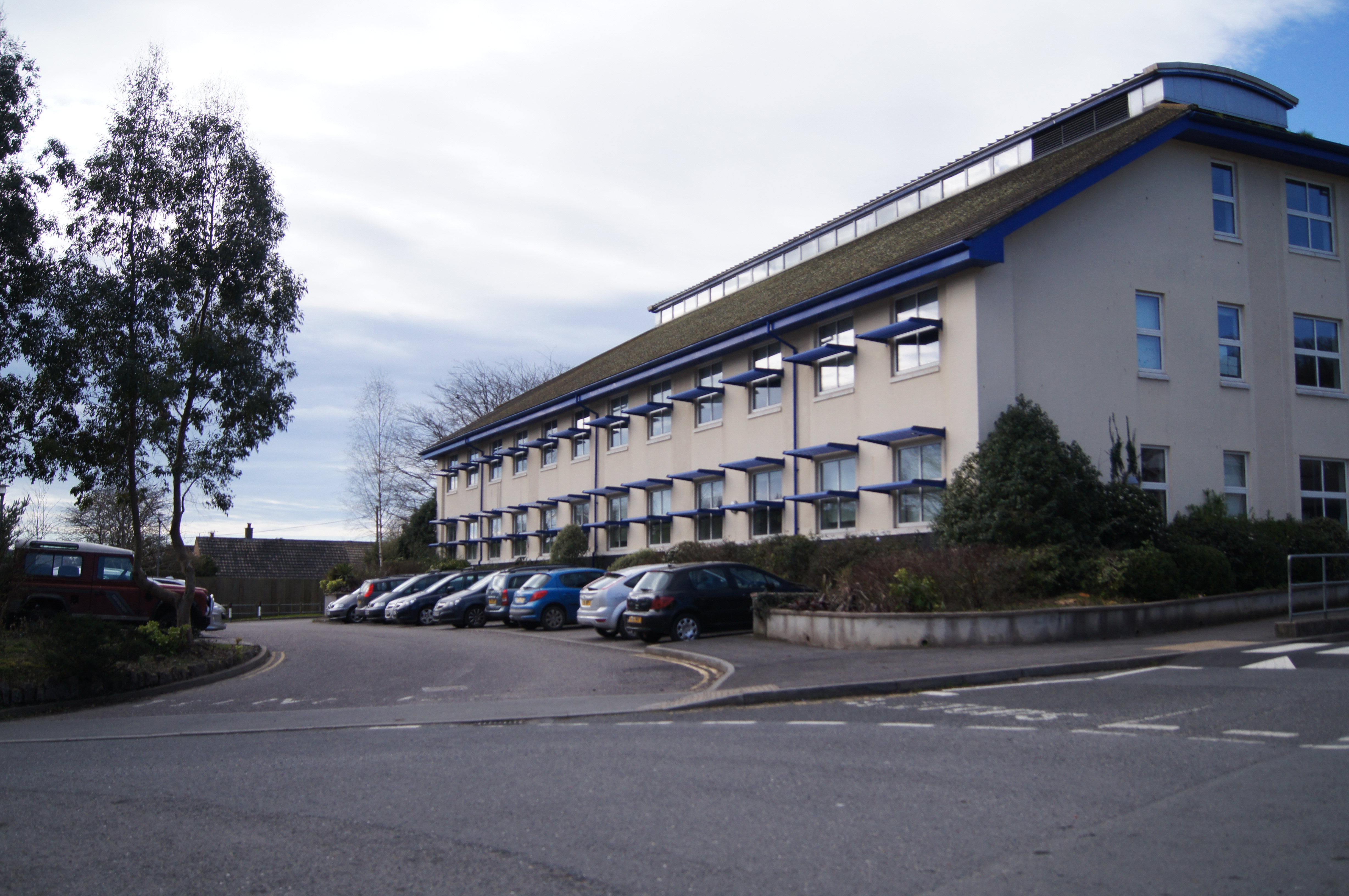
South Dartmoor Community College
South Dartmoor Community College (SDCC) is a co-educational academy school located in Ashburton, Devon, England. The number of students on roll is 1,650...

River Ashburn
Ashburn is a river in the Dartmoor moors in Devon in south-west England, flowing through the Ashburton valley to the River Dart. The River Ashburn is a...
Bickington
Bickington is a village and civil parish in the Teignbridge district of Devon, England, on the east edge of the Dartmoor National Park. At the 2001 census...
Rippon Tor Rifle Range
Rippon Tor Rifle Range is a disused rifle range from World War II on Dartmoor, Devon, England. The range is situated southeast of the 473 m high Rippon...
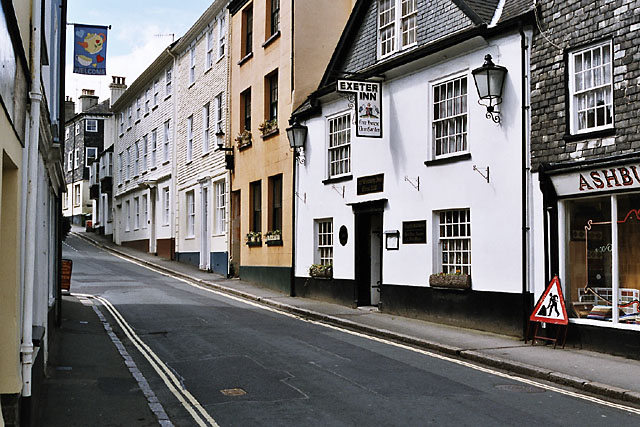
Ashburton, Devon
Ashburton is a town on the south-southeastern edge of Dartmoor in Devon, England, adjacent to the A38. The town is 20 miles (32 km) northeast of Plymouth...
Nearby Amenities
Located within 500m of 50.538176,-3.7345826Have you been to Alston Wood?
Leave your review of Alston Wood below (or comments, questions and feedback).