Ashburton Down
Downs, Moorland in Devon Teignbridge
England
Ashburton Down

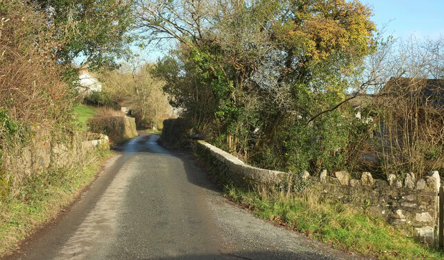
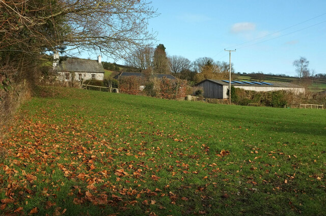
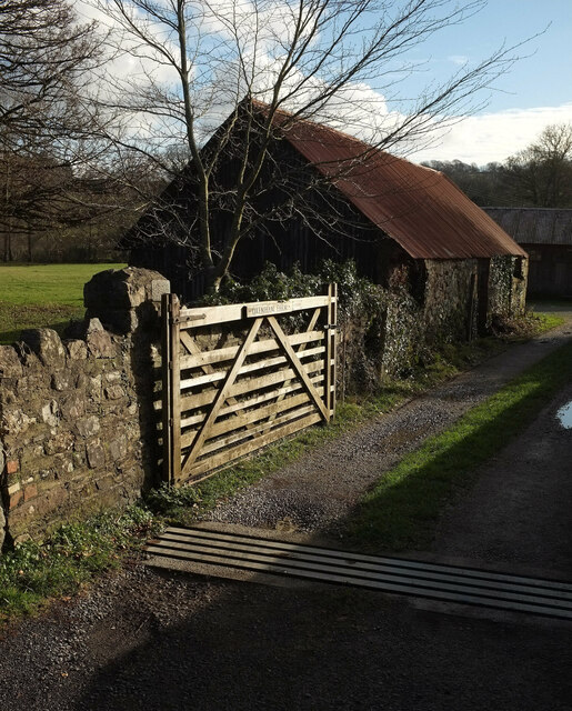
Ashburton Down, located in the county of Devon in southwestern England, is a picturesque and diverse landscape comprising of downs and moorland. It is situated just south of the town of Ashburton, encompassing an area of approximately 3 square miles.
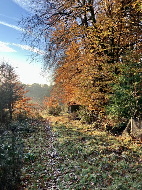
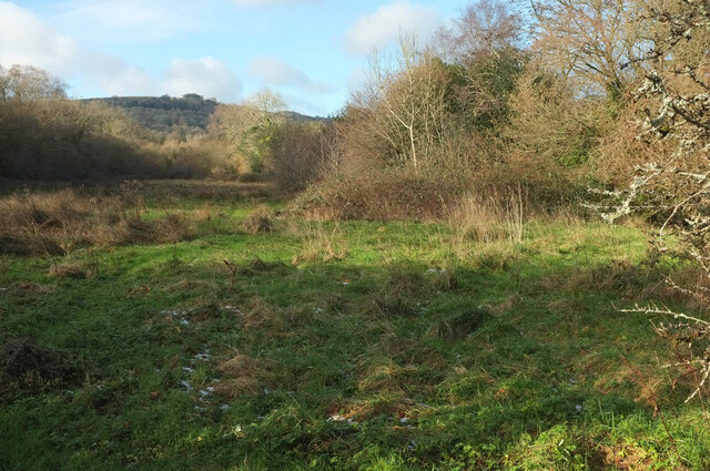
The Down is characterized by its rolling hills and open grasslands, providing stunning panoramic views of the surrounding countryside. The area is predominantly covered in heather, gorse, and bracken, creating a vibrant and colorful scenery, particularly during the summer months when the heather blooms. The Down is also home to a variety of wildlife, including birds such as skylarks and stonechats, as well as rabbits and various species of butterflies.
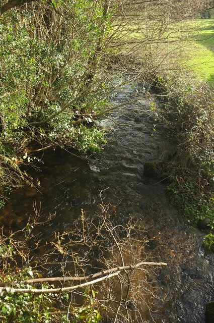
The moorland section of Ashburton Down adds to its natural beauty, with its rugged terrain and scattered pockets of woodland. The moorland is characterized by its rocky outcrops and bogs, providing a unique habitat for a range of plants and animals, including heath spotted orchids and adders.
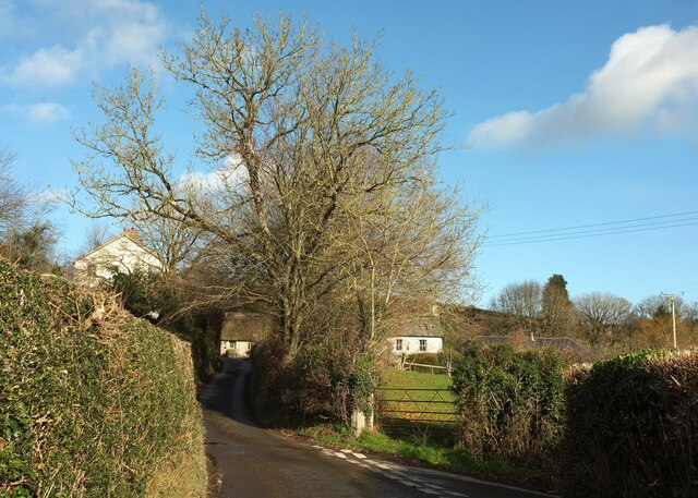
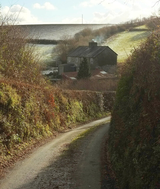
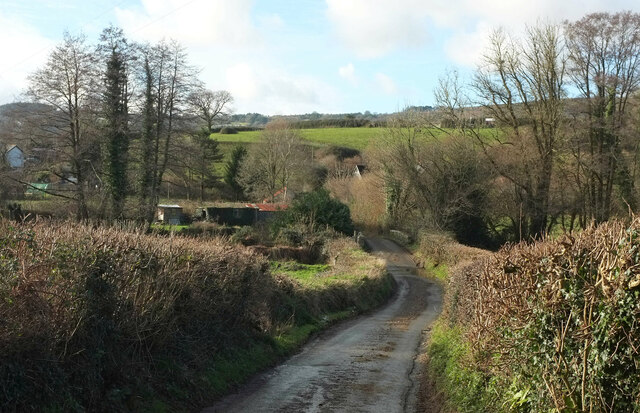
Ashburton Down is a popular destination for both locals and visitors, attracting hikers, nature enthusiasts, and birdwatchers. The area offers a network of footpaths and trails, allowing visitors to explore its diverse landscapes and experience its tranquility.
Overall, Ashburton Down is a stunning and ecologically important area, showcasing the natural beauty of Devon's downs and moorland. Its rich biodiversity and captivating scenery make it a true gem for outdoor enthusiasts and nature lovers alike.
If you have any feedback on the listing, please let us know in the comments section below.
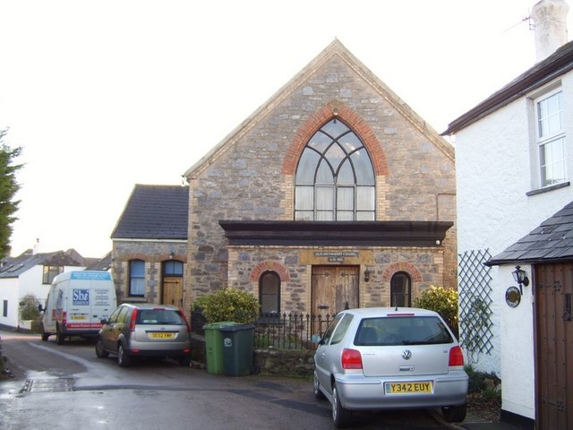
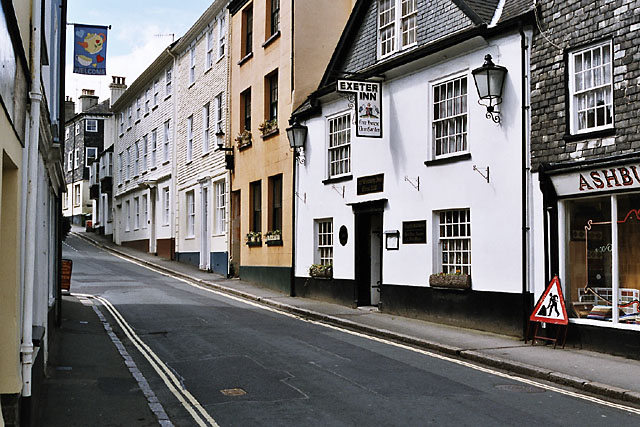
Ashburton Down Images
Images are sourced within 2km of 50.538678/-3.7353207 or Grid Reference SX7772. Thanks to Geograph Open Source API. All images are credited.


Ashburton Down is located at Grid Ref: SX7772 (Lat: 50.538678, Lng: -3.7353207)
Administrative County: Devon
District: Teignbridge
Police Authority: Devon and Cornwall
What 3 Words
///shuttered.travels.tinkle. Near Ashburton, Devon
Nearby Locations
Related Wikis

Church of St Peter, Shaldon
The Church of St Peter is the Church of England parish church of the village of Shaldon, Devon. Designed by Edmund Harold Sedding, and with later additions...

River Sig
The River Sig is a 2.4 mile long river on Dartmoor in the county of Devon, England. It is a tributary to the River Lemon which it meets at Sigford. �...
Sigford
Sigford is a small hamlet in the Parish of Ilsington, on the eastern edge of Dartmoor, Devon, England. It is situated at the confluence of three rivers...
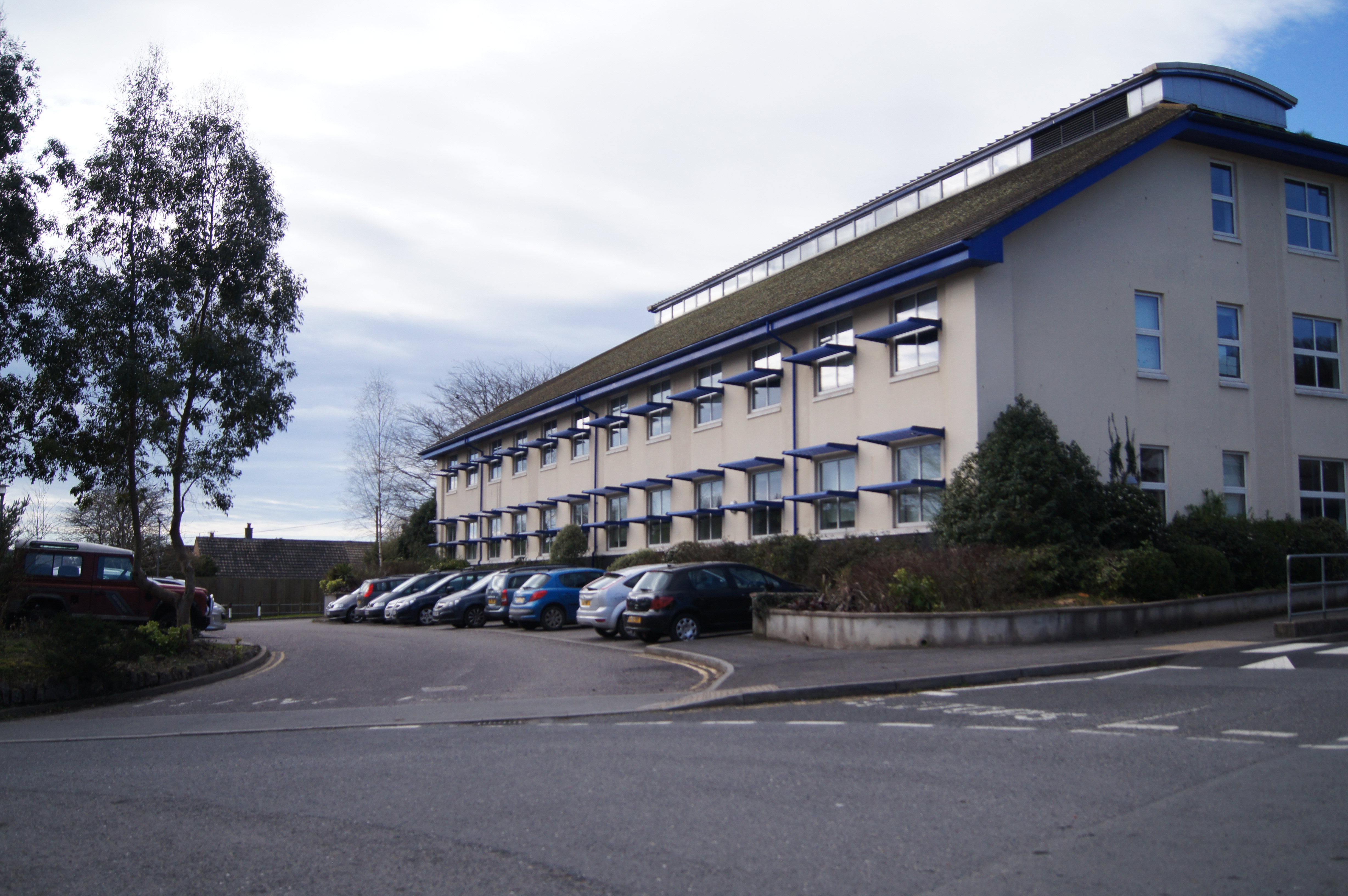
South Dartmoor Community College
South Dartmoor Community College (SDCC) is a co-educational academy school located in Ashburton, Devon, England. The number of students on roll is 1,650...

River Ashburn
Ashburn is a river in the Dartmoor moors in Devon in south-west England, flowing through the Ashburton valley to the River Dart. The River Ashburn is a...
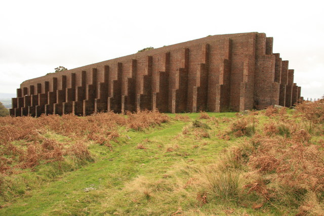
Rippon Tor Rifle Range
Rippon Tor Rifle Range is a disused rifle range from World War II on Dartmoor, Devon, England. The range is situated southeast of the 473 m high Rippon...
Bickington
Bickington is a village and civil parish in the Teignbridge district of Devon, England, on the east edge of the Dartmoor National Park. At the 2001 census...
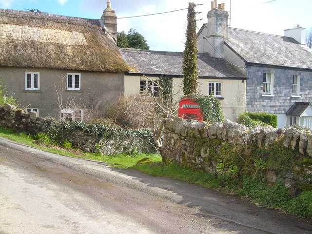
Ashburton, Devon
Ashburton is a town on the south-southeastern edge of Dartmoor in Devon, England, adjacent to the A38. The town is 20 miles (32 km) northeast of Plymouth...
Nearby Amenities
Located within 500m of 50.538678,-3.7353207Have you been to Ashburton Down?
Leave your review of Ashburton Down below (or comments, questions and feedback).