Bryn-llwyd
Hill, Mountain in Cardiganshire
Wales
Bryn-llwyd

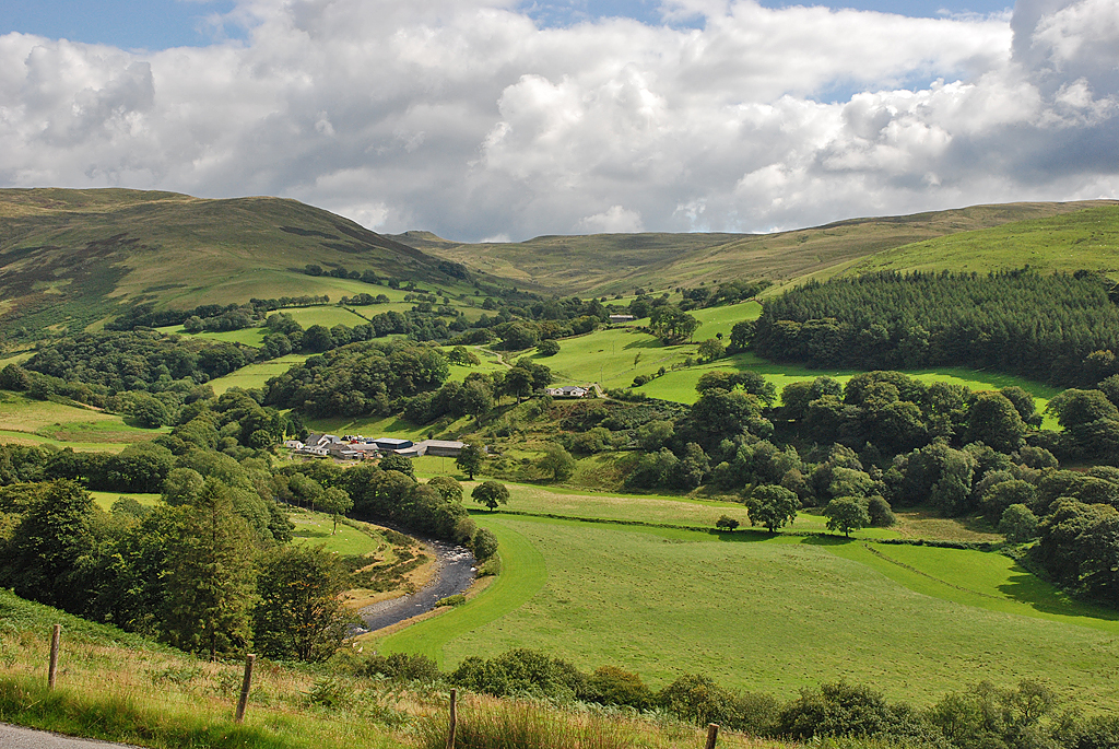
Bryn-llwyd is a hill located in Cardiganshire, Wales. It is situated in the southern part of the county, near the town of Aberystwyth. The hill is part of the Cambrian Mountains range, which is known for its rugged terrain and stunning natural beauty.
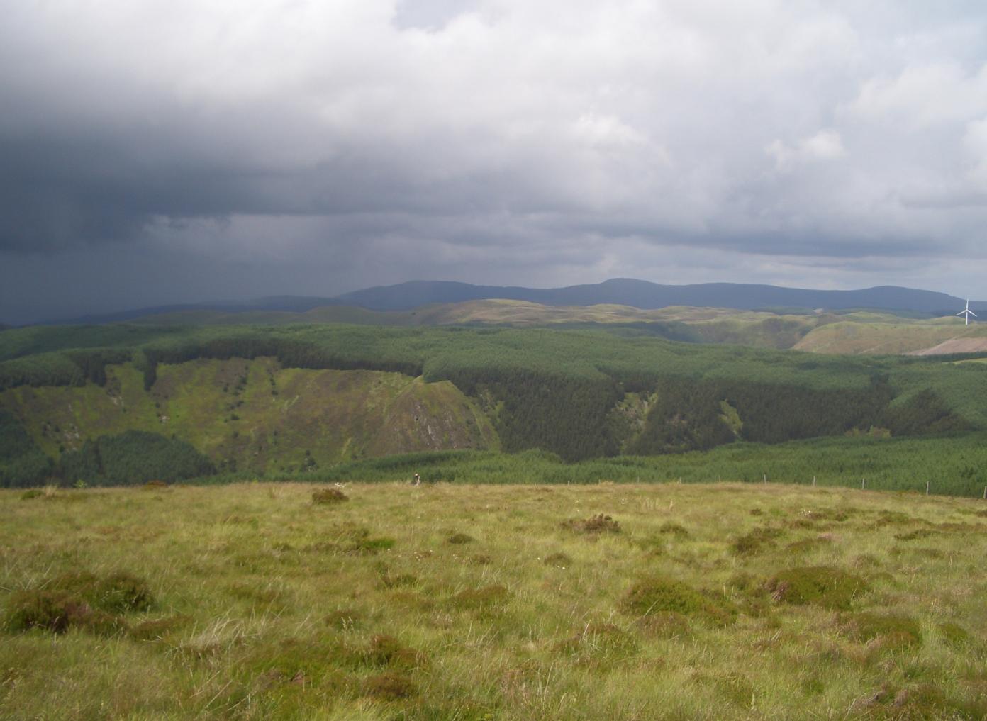
Bryn-llwyd is characterized by its steep slopes and rocky outcrops, making it a popular destination for hikers and outdoor enthusiasts. The summit of the hill offers panoramic views of the surrounding countryside, including the rolling hills and valleys of Cardiganshire.
The hill is home to a variety of wildlife, including birds of prey, sheep, and wild ponies. The area is also known for its diverse plant life, with heather, bracken, and gorse covering the slopes of the hill.
Bryn-llwyd is a popular spot for outdoor activities such as hiking, mountain biking, and birdwatching. The hill is easily accessible by car or on foot, with several well-marked trails leading to the summit. Overall, Bryn-llwyd is a picturesque and peaceful destination for nature lovers and outdoor enthusiasts alike.
If you have any feedback on the listing, please let us know in the comments section below.
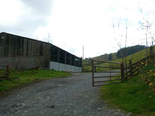
Bryn-llwyd Images
Images are sourced within 2km of 52.371222/-3.8050129 or Grid Reference SN7776. Thanks to Geograph Open Source API. All images are credited.


Bryn-llwyd is located at Grid Ref: SN7776 (Lat: 52.371222, Lng: -3.8050129)
Unitary Authority: Ceredigion
Police Authority: Dyfed Powys
What 3 Words
///member.baked.presides. Near Cwmystwyth, Ceredigion
Nearby Locations
Related Wikis

Eglwys Newydd Church
Eglwys Newydd Church (also known as St Michael's Church, Hafod) is an early 19th-century church which replaced a previous chapel of ease. The chapel of...
Pen y Garn
Pen y Garn is a mountain in the Cambrian Mountains, Mid Wales standing at 611 metres above sea level. Pen y Garn tops a 500–600 m high plateau, which includes...
Cwmystwyth
Cwmystwyth (also Cwm Ystwyth, Welsh pronunciation: [kʊmˈəstʊɨθ]; English: "valley of the River Ystwyth") is a village in Ceredigion, Wales near Devil's...
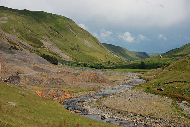
Cwmystwyth Mines
Cwmystwyth mines are located in Cwmystwyth, Ceredigion, Wales and exploited a part of the Central Wales Orefield. Cwm Ystwyth is a scheduled monument,...
Have you been to Bryn-llwyd?
Leave your review of Bryn-llwyd below (or comments, questions and feedback).