Airds Hill
Hill, Mountain in Kirkcudbrightshire
Scotland
Airds Hill
Airds Hill, located in Kirkcudbrightshire, Scotland, is a prominent hill that offers breathtaking panoramic views of the surrounding landscape. Standing at an elevation of approximately 240 meters (790 feet), it is not classified as a mountain but is often referred to as such due to its commanding presence in the area.
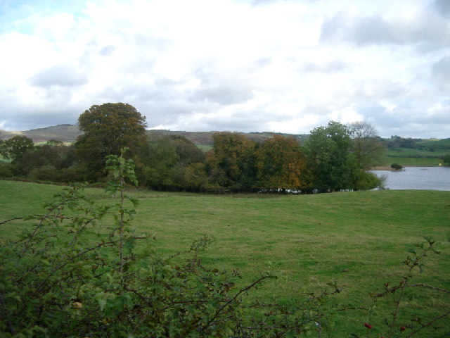
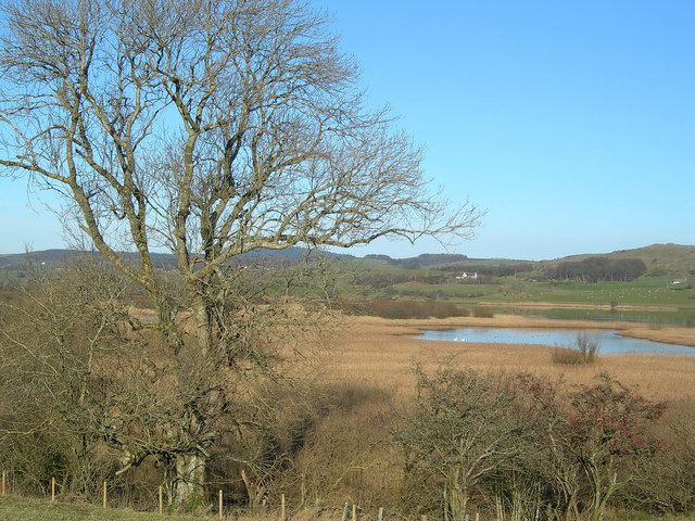
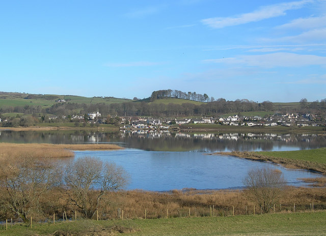
The hill is part of the Galloway Hills range and is situated near the town of Gatehouse of Fleet. Its location within the Galloway Forest Park, which is renowned for its natural beauty and diverse wildlife, adds to Airds Hill's allure. The park boasts lush greenery, ancient woodlands, and a variety of flora and fauna, making it a popular destination for nature enthusiasts and hikers.
Airds Hill offers several walking routes and trails that cater to all levels of fitness, allowing visitors to explore its slopes and summit. The ascent can be challenging in some areas but is generally accessible to most walkers, making it a popular destination for both locals and tourists.
From the summit of Airds Hill, one can enjoy breathtaking views of the surrounding countryside, including the picturesque Scottish coastline, rolling hills, and nearby lochs. On clear days, it is even possible to see as far as the Isle of Man.
Overall, Airds Hill in Kirkcudbrightshire is a captivating natural landmark that provides outdoor enthusiasts with a rewarding hiking experience and offers stunning vistas of the Scottish countryside.
If you have any feedback on the listing, please let us know in the comments section below.
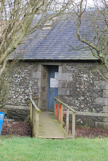
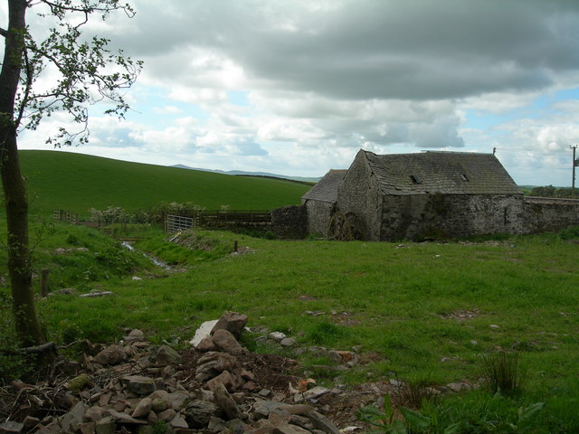
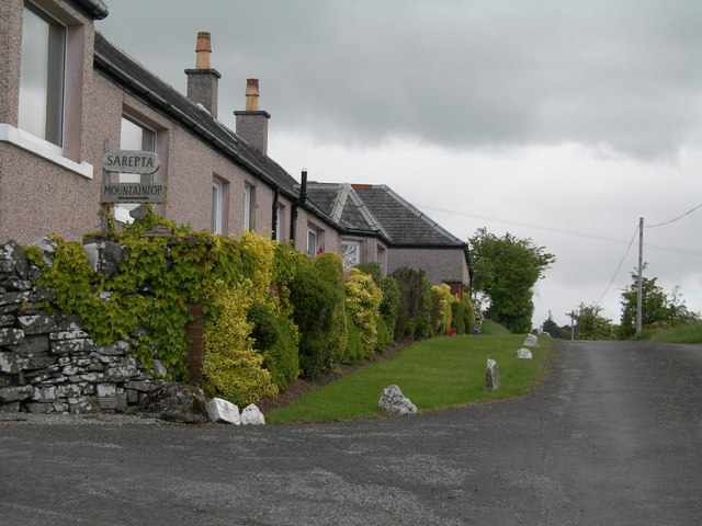
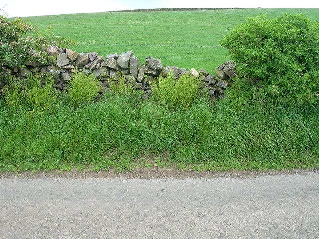
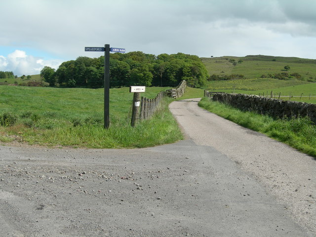
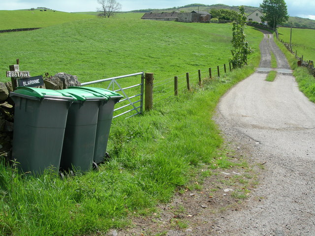
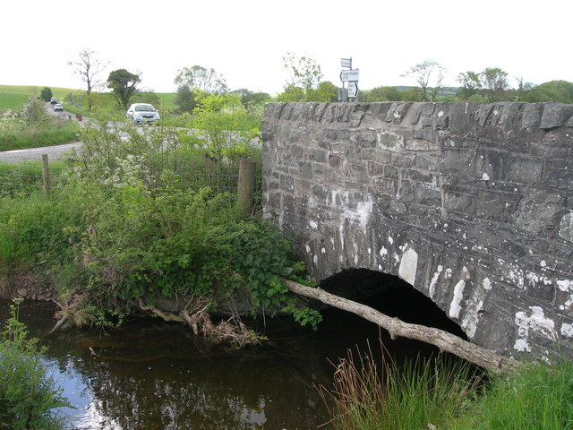
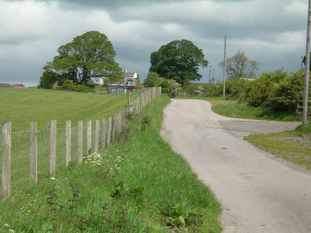
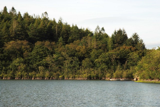
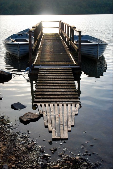
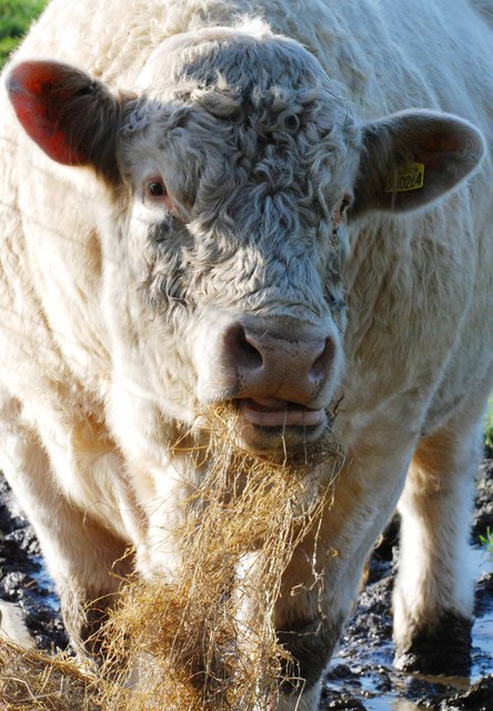
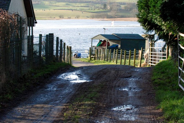
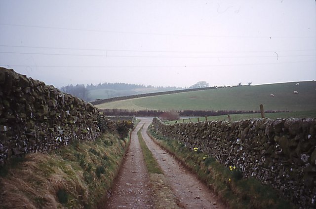
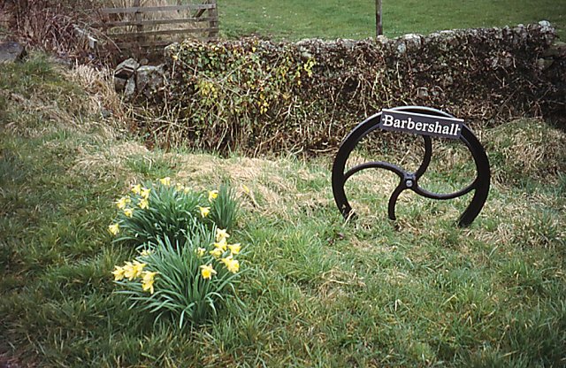
Airds Hill Images
Images are sourced within 2km of 54.991986/-3.982016 or Grid Reference NX7368. Thanks to Geograph Open Source API. All images are credited.
Airds Hill is located at Grid Ref: NX7368 (Lat: 54.991986, Lng: -3.982016)
Unitary Authority: Dumfries and Galloway
Police Authority: Dumfries and Galloway
What 3 Words
///bravery.overheat.crackling. Near Castle Douglas, Dumfries & Galloway
Nearby Locations
Related Wikis

Crossmichael Parish Church
Crossmichael Parish Church is an ecclesiastical building in Crossmichael, Dumfries and Galloway, Scotland. It lies on a knoll, which was probably an ancient...

Crossmichael railway station
Crossmichael railway station served the village of Crossmichael, Kirkcudbrightshire, Scotland, from 1861 to 1965 on the Portpatrick and Wigtownshire Joint...

Crossmichael
Crossmichael (Scottish Gaelic: Crois Mhìcheil) is a small village on the east side of Loch Ken in the historical county of Kirkcudbrightshire, about 4...

Kirkcudbrightshire
Kirkcudbrightshire ( kur-KOO-brish-ər, -eer; Scots: [kərˈku(d)brəʃər]), or the County of Kirkcudbright or the Stewartry of Kirkcudbright is one of the...

Balmaghie
Balmaghie ( bal-mə-GEE), from the Scottish Gaelic Baile Mhic Aoidh, is an ecclesiastical and civil parish in the historical county of Kirkcudbrightshire...

Abbey Yard
Abbey Yard is a location in Dumfries and Galloway, Scotland. Abbey Yard is near Glenlochar in the historical county of Kirkcudbrightshire in the Dumfries...

Glenlochar
Glenlochar (Gd: Gleann Lochair) is a hamlet on the western bank of the River Dee in the parish of Balmaghie in the historical county of Kirkcudbrightshire...

Kilquhanity School
Kilquhanity School was one of several free schools to have been established in the United Kingdom in the twentieth century. Others include Sands School...
Nearby Amenities
Located within 500m of 54.991986,-3.982016Have you been to Airds Hill?
Leave your review of Airds Hill below (or comments, questions and feedback).