Five Barrows Hill
Hill, Mountain in Devon North Devon
England
Five Barrows Hill

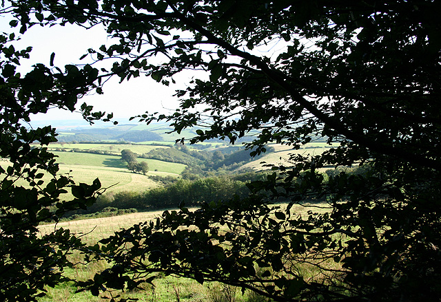
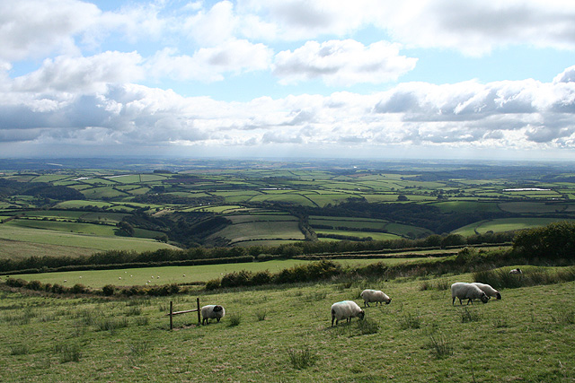
Five Barrows Hill, located in Devon, England, is a scenic hill that offers breathtaking views and holds historical significance. Rising to an elevation of approximately 170 meters, it is classified as a hill rather than a mountain. Situated within the Dartmoor National Park, Five Barrows Hill is surrounded by tranquil moorland and is a popular destination for nature lovers, hikers, and history enthusiasts.
The hill gets its name from the presence of five Bronze Age burial mounds, or barrows, that dot its slopes. These ancient burial sites provide a glimpse into the area's rich history and are a fascinating attraction for visitors. Archaeological excavations have revealed artifacts such as pottery, tools, and human remains, shedding light on the lives of the people who once inhabited this region.
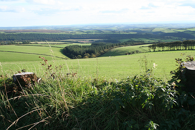
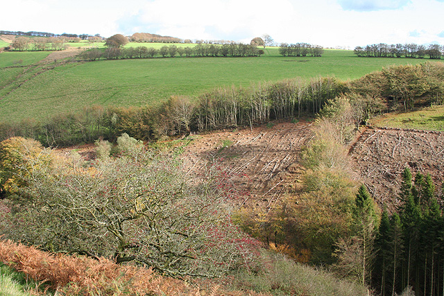
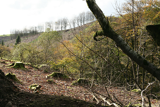
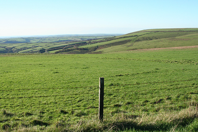
Aside from its historical importance, Five Barrows Hill offers stunning panoramic views of the surrounding landscape. From the summit, visitors can enjoy sweeping vistas of the rolling hills, verdant valleys, and the rugged beauty of Dartmoor. The hill is also home to a diverse array of flora and fauna, with heather, gorse, and wildflowers adding vibrant colors to the landscape.
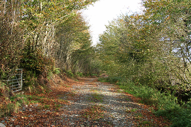
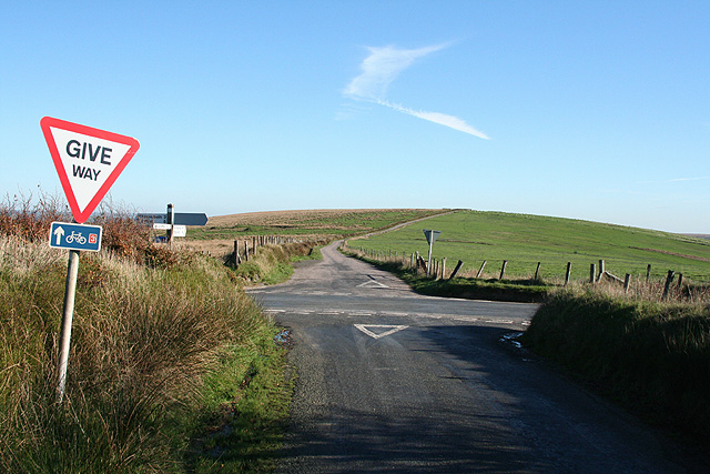
Walking trails crisscross the hill, allowing visitors to explore its slopes and discover the hidden treasures it holds. The trails cater to different fitness levels and offer opportunities for leisurely walks or more challenging hikes. Many visitors choose to bring a picnic and enjoy a peaceful lunch while taking in the awe-inspiring scenery.
Overall, Five Barrows Hill is a captivating destination that combines natural beauty, ancient history, and outdoor exploration, making it a must-visit location for anyone in search of a memorable experience in Devon.
If you have any feedback on the listing, please let us know in the comments section below.
Five Barrows Hill Images
Images are sourced within 2km of 51.116554/-3.8117247 or Grid Reference SS7336. Thanks to Geograph Open Source API. All images are credited.
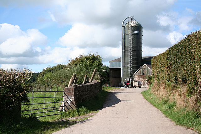
![High Bray: above Sherracombe Ford Looking east-north-east. Sherracombe Ford is Exmoor’s earliest known iron ore smelting site. Mounds of slag remain and radiocarbon dating here suggests Roman activity. [Source: Hazel Riley and Robert Wilson-North. The Field Archaeology of Exmoor. English Heritage, 2001]](https://s1.geograph.org.uk/photos/26/64/266449_231c78b3.jpg)
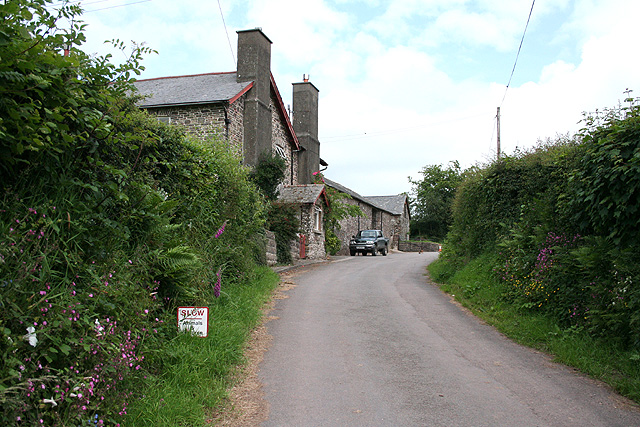
![High Bray: towards Sherracombe Ford Beyond the second gate, on the roughly level area of grass and bracken by the side of the wooded stream is an ironworking site. Smelting was carried out on three identifiable working platforms. Mounds of slag remain and radiocarbon dating here suggests Roman activity. An archaeological investigation was carried out at the beginning of this century. [Part source: Hazel Riley and Robert Wilson-North. The Field Archaeology of Exmoor. English Heritage, 2001]. Looking east](https://s2.geograph.org.uk/photos/26/64/266450_ba213c09.jpg)


Five Barrows Hill is located at Grid Ref: SS7336 (Lat: 51.116554, Lng: -3.8117247)
Administrative County: Devon
District: North Devon
Police Authority: Devon and Cornwall
What 3 Words
///autumn.forever.king. Near South Molton, Devon
Nearby Locations
Related Wikis

Bentwitchen
Bentwitchen is a hamlet in Devon, England. == References ==
North Radworthy
North Radworthy is a hamlet and historic estate in the civil parish and former manor of North Molton, in the North Devon district of the county of Devon...

Shoulsbury castle
Shoulsbury Castle is an Iron Age hill fort close to Challacombe in Devon, England. It takes the form of a multi-ditch and rampart enclosure close to the...
South Radworthy
South Radworthy is a hamlet in the civil parish of North Molton, in the North Devon District of the county of Devon, England. It is about three miles to...
Nearby Amenities
Located within 500m of 51.116554,-3.8117247Have you been to Five Barrows Hill?
Leave your review of Five Barrows Hill below (or comments, questions and feedback).