Erncrogo Hill
Hill, Mountain in Kirkcudbrightshire
Scotland
Erncrogo Hill
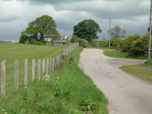
Erncrogo Hill is a prominent geographical feature located in Kirkcudbrightshire, Scotland. Rising to a height of 310 meters (1,017 feet), it is an impressive hill that offers breathtaking views of the surrounding landscape. Situated near the town of Gatehouse of Fleet, Erncrogo Hill is a popular destination for hikers and outdoor enthusiasts.
Covered in lush green vegetation, the hill is a haven for various species of flora and fauna. It is home to a diverse range of plant life, including heather, grasses, and wildflowers. The hillside provides a habitat for numerous bird species, such as buzzards and kestrels, which can be spotted soaring above. The area is also known for its population of red deer, which adds to the natural beauty and charm of the hill.
The ascent to the summit of Erncrogo Hill is relatively moderate, making it accessible to walkers of varying abilities. Several walking trails crisscross the hill, offering different routes to the top. The main path is well-maintained and clearly marked, ensuring visitors can navigate their way without difficulty.
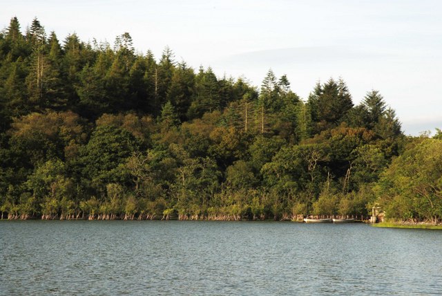
Upon reaching the summit, visitors are rewarded with breathtaking panoramic views of the surrounding countryside. On a clear day, it is possible to see the rolling hills, forests, and the sparkling waters of the nearby loch. The peacefulness and tranquility of Erncrogo Hill make it an ideal spot for picnics or simply taking in the stunning natural beauty that Kirkcudbrightshire has to offer.
If you have any feedback on the listing, please let us know in the comments section below.
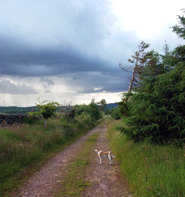
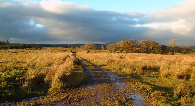
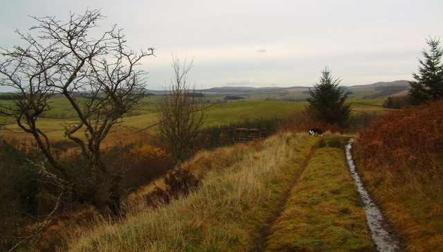
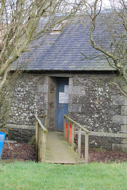
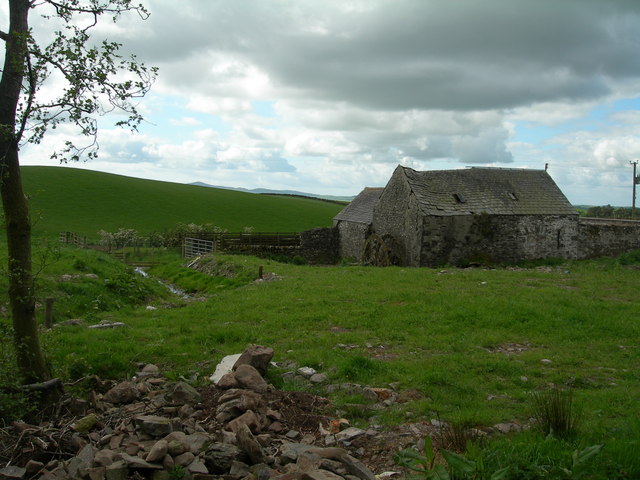
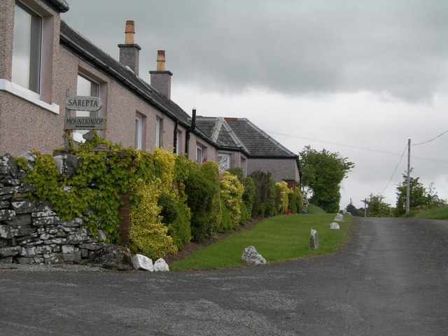
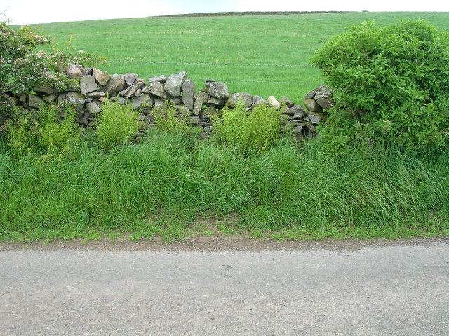
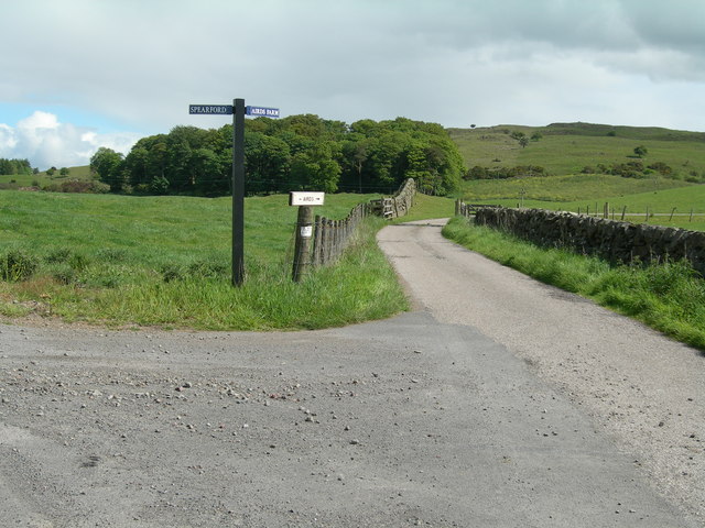
Erncrogo Hill Images
Images are sourced within 2km of 54.998263/-3.9713031 or Grid Reference NX7368. Thanks to Geograph Open Source API. All images are credited.


Erncrogo Hill is located at Grid Ref: NX7368 (Lat: 54.998263, Lng: -3.9713031)
Unitary Authority: Dumfries and Galloway
Police Authority: Dumfries and Galloway
What 3 Words
///gateway.everybody.dose. Near Castle Douglas, Dumfries & Galloway
Nearby Locations
Related Wikis

Kirkcudbrightshire
Kirkcudbrightshire ( kur-KOO-brish-ər, -eer; Scots: [kərˈku(d)brəʃər]), or the County of Kirkcudbright or the Stewartry of Kirkcudbright is one of the...

Crossmichael Parish Church
Crossmichael Parish Church is an ecclesiastical building in Crossmichael, Dumfries and Galloway, Scotland. It lies on a knoll, which was probably an ancient...

Crossmichael
Crossmichael (Scottish Gaelic: Crois Mhìcheil) is a small village on the east side of Loch Ken in the historical county of Kirkcudbrightshire, about 4...

Crossmichael railway station
Crossmichael railway station served the village of Crossmichael, Kirkcudbrightshire, Scotland, from 1861 to 1965 on the Portpatrick and Wigtownshire Joint...
Nearby Amenities
Located within 500m of 54.998263,-3.9713031Have you been to Erncrogo Hill?
Leave your review of Erncrogo Hill below (or comments, questions and feedback).