Blairinnie Hill
Hill, Mountain in Kirkcudbrightshire
Scotland
Blairinnie Hill
Blairinnie Hill is a prominent hill located in Kirkcudbrightshire, a historic county in southwestern Scotland. Situated near the village of Parton, this hill is known for its picturesque beauty and stunning panoramic views of the surrounding countryside.
With an elevation of approximately 320 meters (1050 feet), Blairinnie Hill offers a moderate climb for outdoor enthusiasts and hikers. The hill is covered in lush green vegetation, including heather, grasses, and shrubs, creating a vibrant and diverse landscape.
At the summit of Blairinnie Hill, visitors are rewarded with breathtaking vistas of the rolling hills, valleys, and farmlands of Kirkcudbrightshire. On clear days, it is even possible to spot the distant Galloway Hills and the Solway Firth.
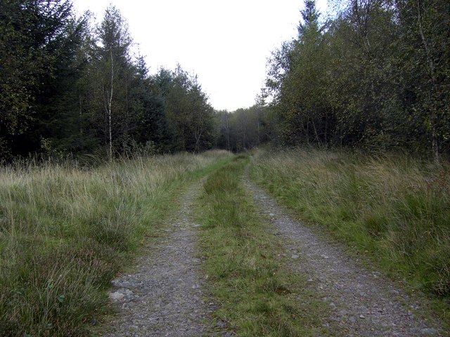
The hill is easily accessible, with a well-marked path leading up to the summit. This makes it a popular destination for both locals and tourists looking to enjoy a peaceful walk or a challenging hike. The surrounding area also offers opportunities for birdwatching and wildlife spotting, with various species of birds and small mammals inhabiting the region.
Blairinnie Hill is not only a natural beauty but also holds historical significance. It is believed to have once been the site of a hillfort, an ancient fortified settlement, dating back to the Iron Age. The remnants of this hillfort can still be seen, adding an extra layer of intrigue for those interested in the region's history and archaeology.
Overall, Blairinnie Hill offers a delightful experience for outdoor enthusiasts, history buffs, and nature lovers alike, combining stunning scenery, a moderate hike, and a glimpse into the past.
If you have any feedback on the listing, please let us know in the comments section below.
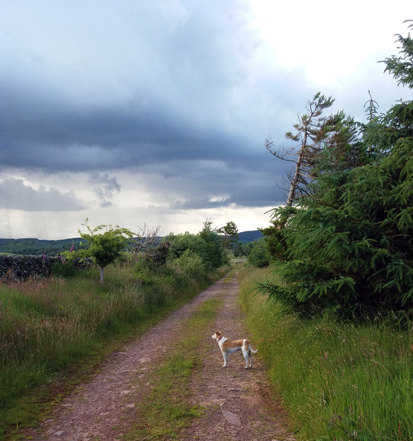
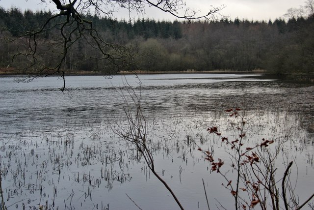
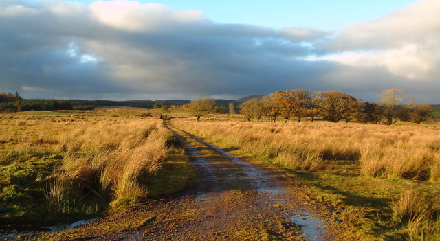
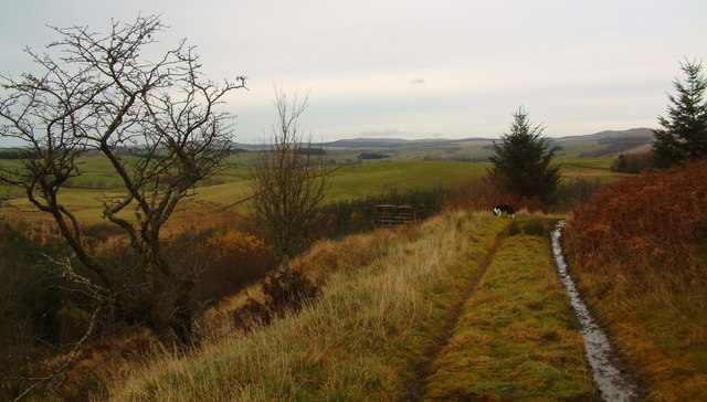
Blairinnie Hill Images
Images are sourced within 2km of 54.999148/-3.9854337 or Grid Reference NX7368. Thanks to Geograph Open Source API. All images are credited.


Blairinnie Hill is located at Grid Ref: NX7368 (Lat: 54.999148, Lng: -3.9854337)
Unitary Authority: Dumfries and Galloway
Police Authority: Dumfries and Galloway
What 3 Words
///safe.store.handsets. Near Castle Douglas, Dumfries & Galloway
Nearby Locations
Related Wikis

Kirkcudbrightshire
Kirkcudbrightshire ( kur-KOO-brish-ər, -eer; Scots: [kərˈku(d)brəʃər]), or the County of Kirkcudbright or the Stewartry of Kirkcudbright is one of the...

Crossmichael Parish Church
Crossmichael Parish Church is an ecclesiastical building in Crossmichael, Dumfries and Galloway, Scotland. It lies on a knoll, which was probably an ancient...

Crossmichael railway station
Crossmichael railway station served the village of Crossmichael, Kirkcudbrightshire, Scotland, from 1861 to 1965 on the Portpatrick and Wigtownshire Joint...

Crossmichael
Crossmichael (Scottish Gaelic: Crois Mhìcheil) is a small village on the east side of Loch Ken in the historical county of Kirkcudbrightshire, about 4...

Balmaghie
Balmaghie ( bal-mə-GEE), from the Scottish Gaelic Baile Mhic Aoidh, is an ecclesiastical and civil parish in the historical county of Kirkcudbrightshire...

Parton, Dumfries and Galloway
Parton is a hamlet situated on the banks of the River Dee in the historical county of Kirkcudbrightshire, Dumfries and Galloway, Scotland. == Notable... ==

Kilquhanity School
Kilquhanity School was one of several free schools to have been established in the United Kingdom in the twentieth century. Others include Sands School...

Parton railway station (Portpatrick and Wigtownshire Joint Railway)
Parton railway station served the hamlet of Parton, Dumfries and Galloway, Scotland, from 1861 to 1965 on the Portpatrick and Wigtownshire Joint Railway...
Nearby Amenities
Located within 500m of 54.999148,-3.9854337Have you been to Blairinnie Hill?
Leave your review of Blairinnie Hill below (or comments, questions and feedback).