Garn Gron
Hill, Mountain in Cardiganshire
Wales
Garn Gron

Garn Gron is a prominent hill located in the county of Cardiganshire, in the west of Wales. Standing at an elevation of approximately 1,300 feet (396 meters), it forms part of the Cambrian Mountains range. This impressive natural feature is nestled within the scenic and picturesque landscape of rural Wales.
The hill is characterized by its rugged and rocky terrain, with its slopes covered in heather and grasses that change color with the seasons. Its summit offers breathtaking panoramic views of the surrounding countryside, including sweeping vistas of rolling hills, deep valleys, and distant mountain ranges.
Garn Gron is a popular destination for outdoor enthusiasts, attracting hikers, walkers, and nature lovers throughout the year. The hill is crisscrossed with a network of footpaths and trails that provide access to its summit, allowing visitors to explore its diverse flora and fauna. It is also home to a variety of bird species, making it a haven for birdwatchers.
The hill’s location in the heart of Cardiganshire makes it easily accessible from nearby towns and villages. Its natural beauty and tranquility provide visitors with the opportunity to escape the hustle and bustle of everyday life and connect with nature.
Garn Gron is a cherished landmark in the region, offering both locals and tourists a chance to immerse themselves in the stunning Welsh countryside and experience the serenity and majesty of this captivating hill.
If you have any feedback on the listing, please let us know in the comments section below.
Garn Gron Images
Images are sourced within 2km of 52.233309/-3.8464923 or Grid Reference SN7361. Thanks to Geograph Open Source API. All images are credited.


![Tuag at Cwm Groes Fawr / Towards Cwm Groes Fawr Llwybr ceffyl yn mynd i gyfeiriad Cwm Groes Fawr.
A bridleway heading towards Cwm Groes Fawr (trans. valley of the larger Groes [river]).](https://s3.geograph.org.uk/geophotos/06/21/40/6214035_6d4b06dd.jpg)


Garn Gron is located at Grid Ref: SN7361 (Lat: 52.233309, Lng: -3.8464923)
Unitary Authority: Ceredigion
Police Authority: Dyfed Powys
What 3 Words
///imply.gain.strikers. Near Tregaron, Ceredigion
Nearby Locations
Related Wikis

Ystrad Fflur
Ystrad Fflur is a hamlet and community in Ceredigion, Wales, south-east of Aberystwyth. The community includes the villages of Pontrhydfendigaid and Ffair...
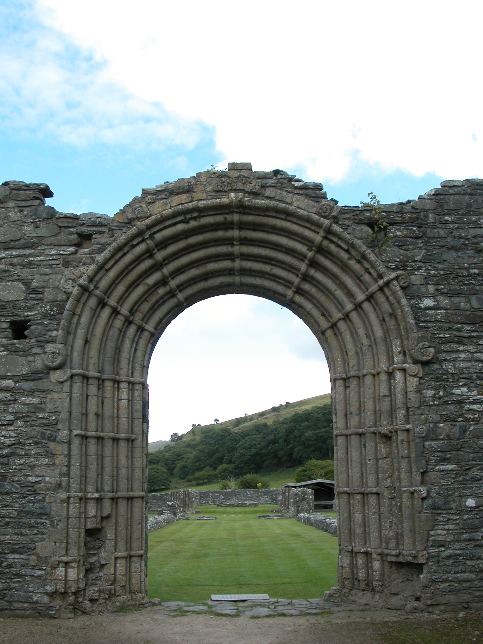
Strata Florida Abbey
Strata Florida Abbey (Welsh: Abaty Ystrad Fflur; ) is a former Cistercian abbey situated just outside Pontrhydfendigaid, near Tregaron in the county of...

Alltddu Halt railway station
Alltddu Halt railway station served the hamlet of Allt-ddu, located between Lampeter and Aberystwyth on the Carmarthen Aberystwyth Line in the Welsh county...
Camddwr
For the tributary of the River Wye, see Camddwr, Wye and for the tributary of the River Teifi, see Camddwr, Teifi.The Camddwr is a significant right-bank...
Nearby Amenities
Located within 500m of 52.233309,-3.8464923Have you been to Garn Gron?
Leave your review of Garn Gron below (or comments, questions and feedback).