Hollins End
Settlement in Yorkshire
England
Hollins End
Hollins End is a charming village located in the picturesque county of Yorkshire, England. Situated amidst rolling hills and lush green landscapes, this rural haven offers a tranquil retreat from the bustling city life. With a population of around 500 residents, Hollins End exudes a close-knit community vibe, where neighbors are friendly and welcoming.
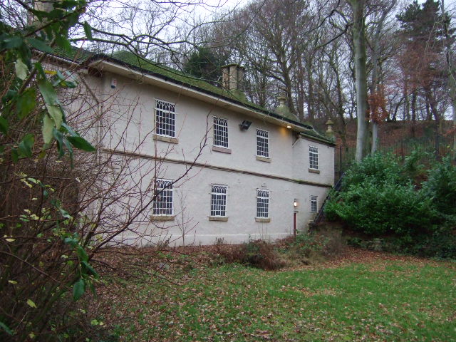
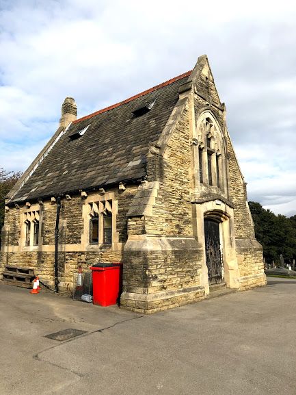
The village is characterized by its traditional architecture, with stone cottages and thatched roofs dotting the landscape. The historic St. Mary's Church, with its striking spire, stands proudly at the heart of the village, providing a focal point for the community.
Hollins End boasts an array of amenities to cater to its residents. The village has a well-stocked local shop, which caters to everyday needs, as well as a cozy pub where locals gather for a pint and to catch up with friends. The village also has a primary school, ensuring that the educational needs of the younger generation are met.
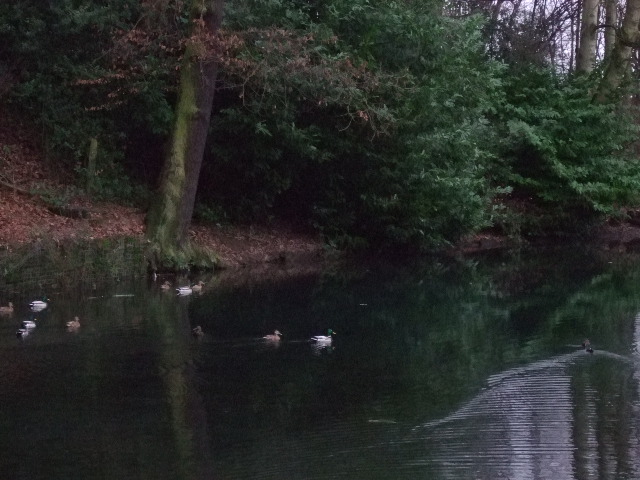
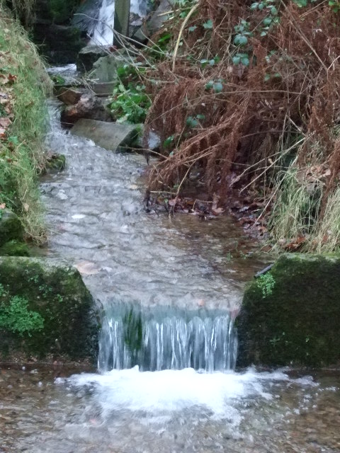
Nature enthusiasts will find themselves in paradise in Hollins End. The village is surrounded by stunning countryside, offering ample opportunities for hiking, cycling, and exploring the great outdoors. The nearby Hollins End Forest is a popular destination for nature walks and birdwatching, providing a serene escape from the daily grind.
Overall, Hollins End is a picturesque and idyllic village that encapsulates the charm and beauty of rural Yorkshire. With its friendly community, stunning natural surroundings, and historic landmarks, it is the perfect place for those seeking a peaceful and close-knit community.
If you have any feedback on the listing, please let us know in the comments section below.
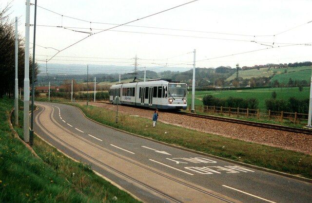
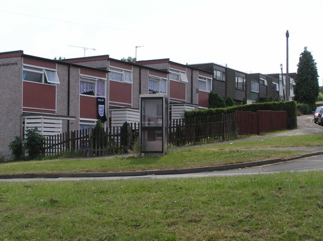
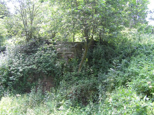
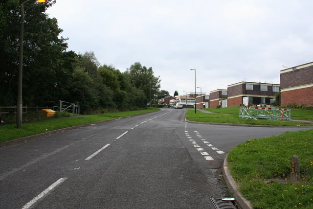
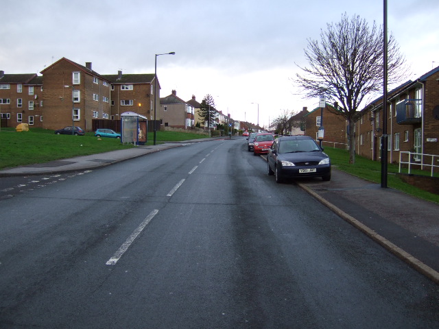
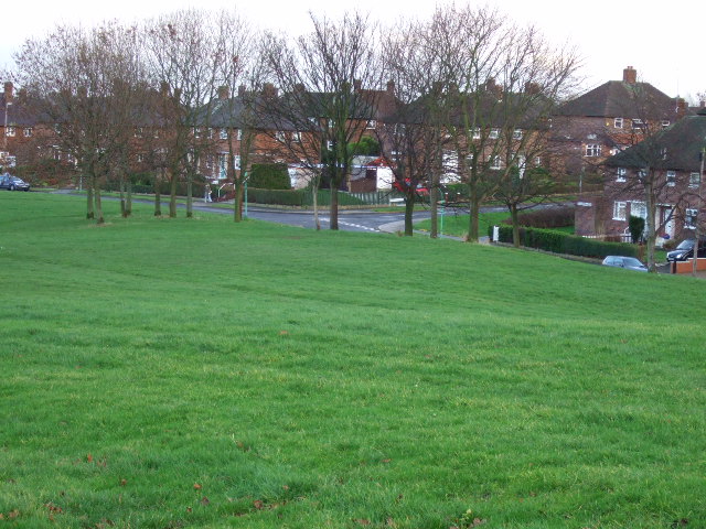
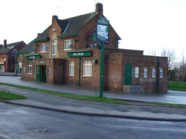
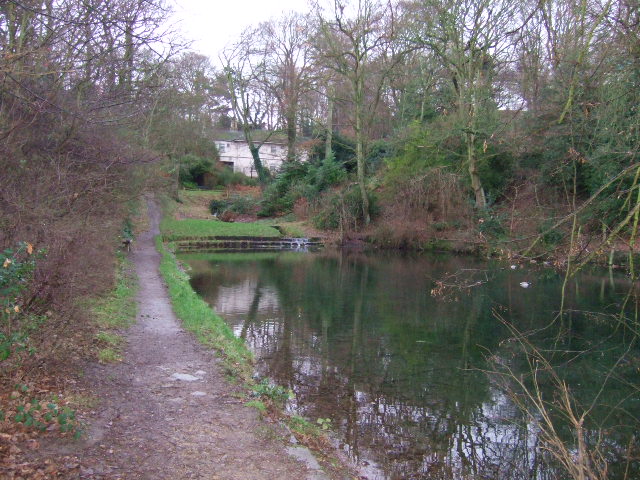
Hollins End Images
Images are sourced within 2km of 53.352159/-1.41481 or Grid Reference SK3984. Thanks to Geograph Open Source API. All images are credited.


Hollins End is located at Grid Ref: SK3984 (Lat: 53.352159, Lng: -1.41481)
Division: West Riding
Unitary Authority: Sheffield
Police Authority: South Yorkshire
What 3 Words
///parts.steer.tuned. Near Sheffield, South Yorkshire
Nearby Locations
Related Wikis
Intake Cemetery, Sheffield
Intake Cemetery (also known as Intake Village Cemetery) is one of the city of Sheffield's many cemeteries. The cemetery, located at Mansfield Road, Intake...

Intake, Sheffield
Intake is a suburb and former village located 5 miles (8 km) south-east of Sheffield city centre, South Yorkshire, England. Due to expansion during the...

Frecheville Comprehensive
Frecheville Comprehensive School was a secondary school located in Frecheville, South Yorkshire, England. When built, the school was in Derbyshire, but...
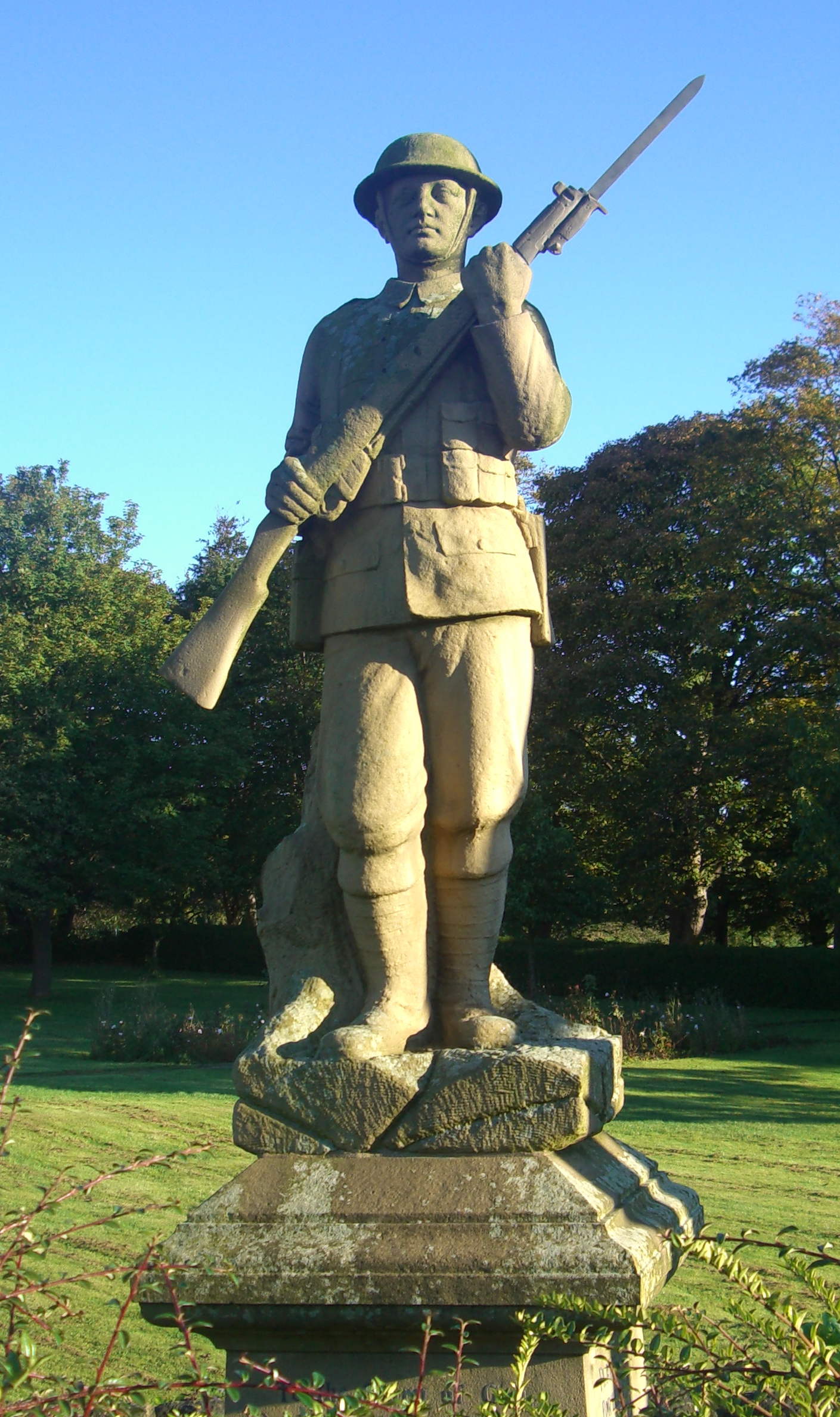
Gleadless War Memorial
The Gleadless War Memorial is a Grade-II listed war memorial located on Hollinsend Road at Gleadless, Sheffield. The statue, which depicts a life size...
Nearby Amenities
Located within 500m of 53.352159,-1.41481Have you been to Hollins End?
Leave your review of Hollins End below (or comments, questions and feedback).