Hollins Green
Settlement in Lancashire
England
Hollins Green
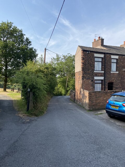
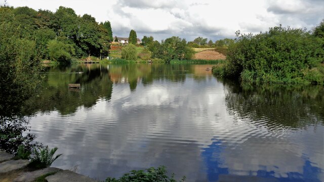
Hollins Green is a small village located in the county of Lancashire, in the northwest of England. Situated approximately 10 miles east of the city of Manchester, Hollins Green is part of the Warrington Borough Council area. The village is surrounded by beautiful countryside, offering a tranquil and picturesque setting.
With a population of around 1,200 residents, Hollins Green maintains a close-knit and friendly community. The village is known for its strong sense of community spirit, with various local events and activities organized throughout the year. The village also benefits from a range of amenities, including a primary school, a village hall, a pub, and a local shop, providing residents with convenient access to essential services.
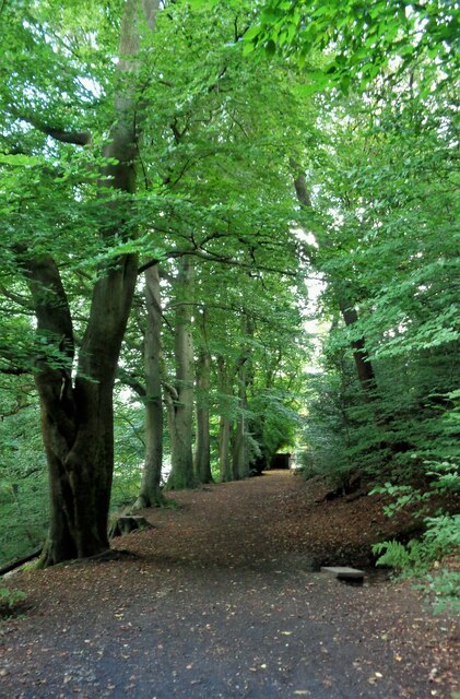
Nature enthusiasts and outdoor lovers can enjoy the nearby Risley Moss Nature Reserve, a designated Site of Special Scientific Interest. This protected area offers an array of habitats, including wetlands, meadows, and woodlands, attracting a diverse range of wildlife. It provides a popular destination for walks, bird watching, and nature appreciation.
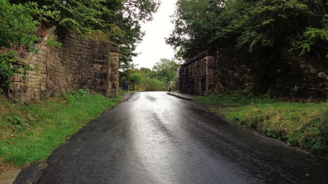
Transport links in Hollins Green are well-developed, with easy access to major road networks such as the M62 and M6. This allows for convenient commuting to nearby towns and cities, making Hollins Green an attractive location for those seeking a peaceful village lifestyle while still having connectivity to urban centers.
Overall, Hollins Green offers residents a charming rural setting, a strong community spirit, and easy access to both nature and urban amenities, making it an appealing place to live in Lancashire.
If you have any feedback on the listing, please let us know in the comments section below.
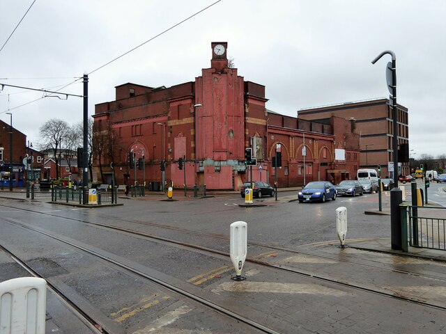
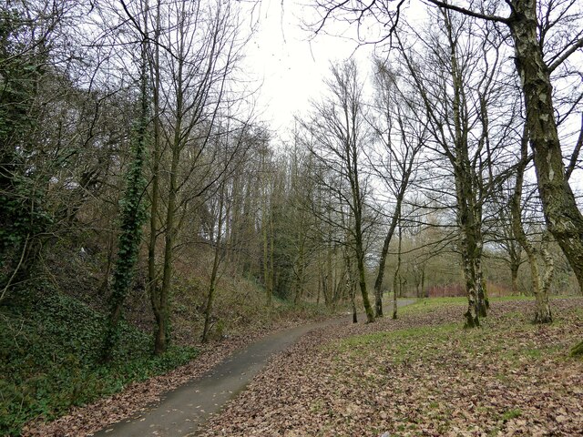
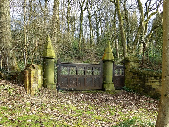
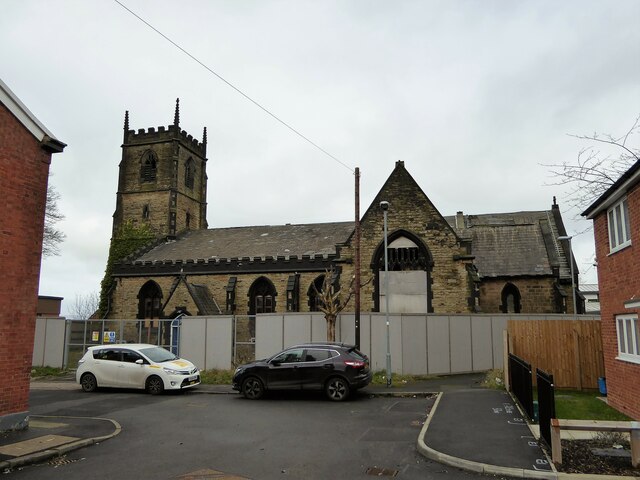
Hollins Green Images
Images are sourced within 2km of 53.522703/-2.116864 or Grid Reference SD9202. Thanks to Geograph Open Source API. All images are credited.
Hollins Green is located at Grid Ref: SD9202 (Lat: 53.522703, Lng: -2.116864)
Unitary Authority: Oldham
Police Authority: Greater Manchester
What 3 Words
///dime.shins.lands. Near Oldham, Manchester
Nearby Locations
Related Wikis

Garden Suburb, Oldham
Garden Suburb is an area of Oldham, Greater Manchester, England, 1.9 miles to the south of the town centre, contiguous with Hollins, Copster Hill, Hollinwood...
Copster Hill
Copster Hill is a locality in the town of Oldham in Greater Manchester, lying 1.6 miles to the south of Oldham town centre. Archaically a hamlet and private...

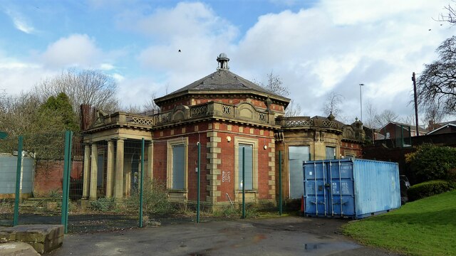
Hathershaw Hall
Hathershaw Hall is a 16th-17th century Grade II* listed building in Hathershaw, Oldham, Greater Manchester, England. The present structure is the single...
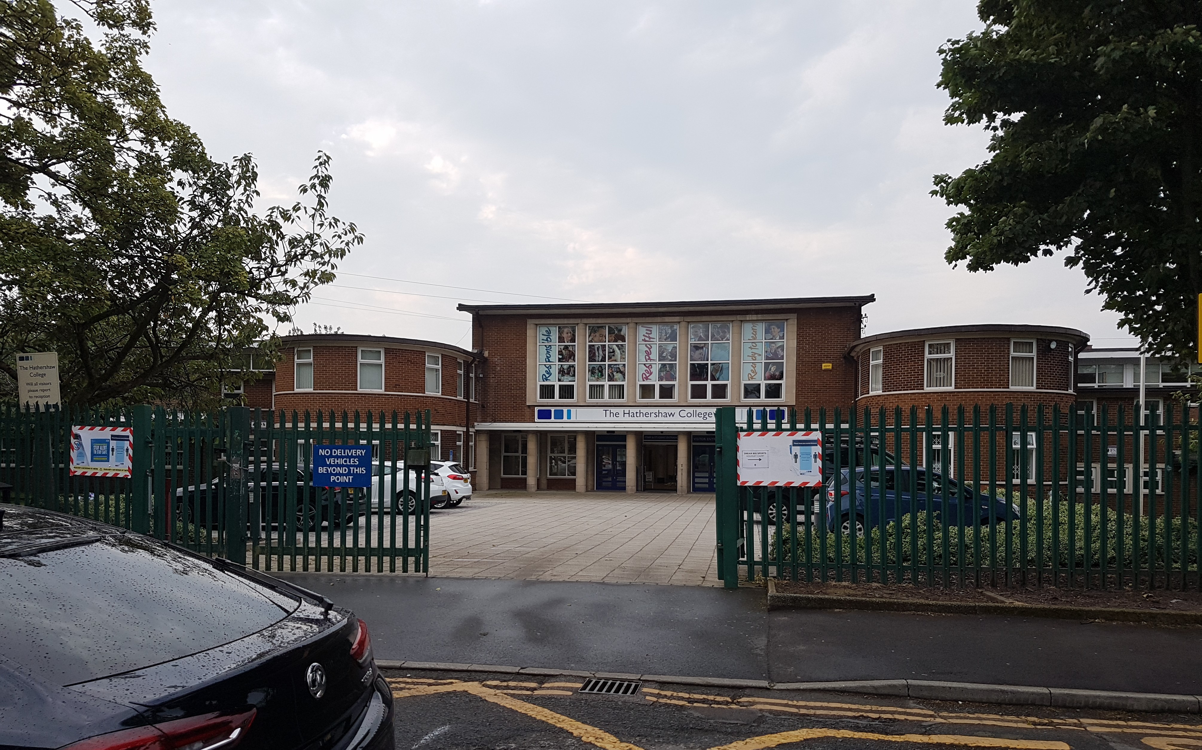
The Hathershaw College
The Hathershaw College is a coeducational, Secondary Academy for 11- to 16-year-olds in Oldham, Greater Manchester, England. In 2007, Ofsted rated the...
Hollins, Oldham
Hollins is an area of Oldham, Greater Manchester, England, 1.7 miles south of the town centre. Formerly a hamlet set amongst open moorland and farmland...
Whitebank Stadium
Whitebank Stadium, currently also known as the Vestacare Stadium for sponsorship purposes, is a rugby league and association football stadium which forms...
Oldham Borough F.C.
Oldham Borough F.C. was an English association football club based in Oldham, Greater Manchester, England. The club was founded in 1964 as Oldham Dew F...

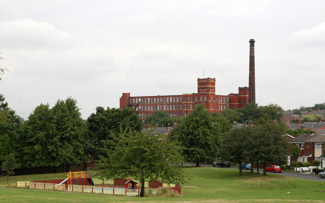
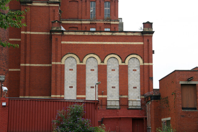
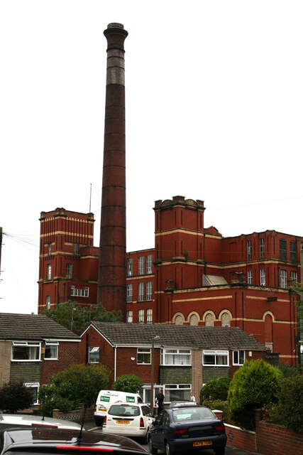
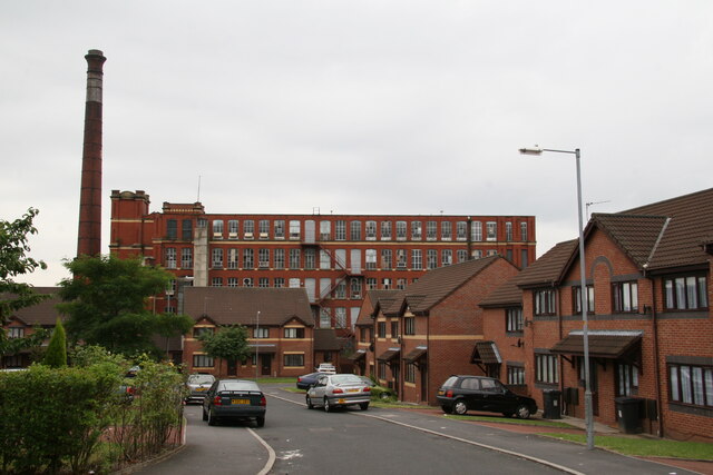
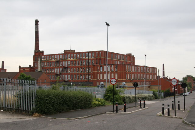
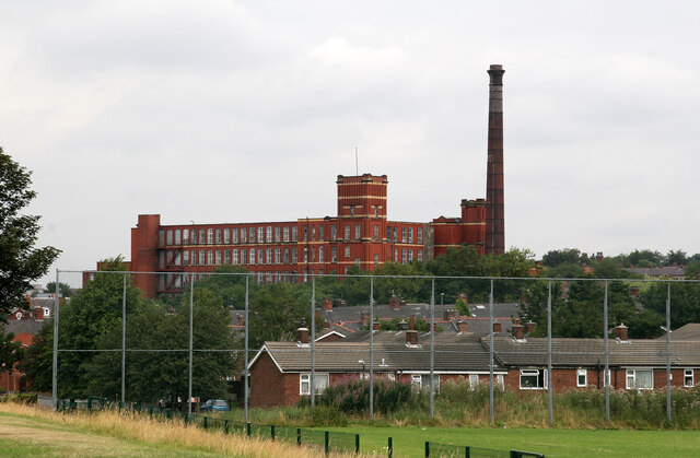
Heron Mill, Hollinwood
Heron Mill is a cotton spinning mill in Hollinwood, Oldham, Greater Manchester. It was designed by architect P. S. Stott and was constructed in 1905 by...
Nearby Amenities
Located within 500m of 53.522703,-2.116864Have you been to Hollins Green?
Leave your review of Hollins Green below (or comments, questions and feedback).