Hollins
Settlement in Derbyshire North East Derbyshire
England
Hollins
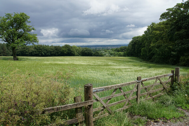
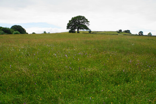
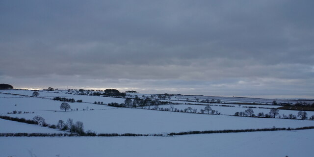
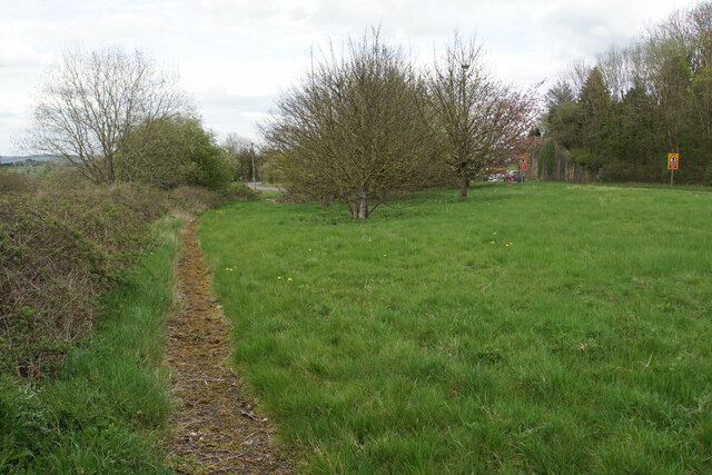
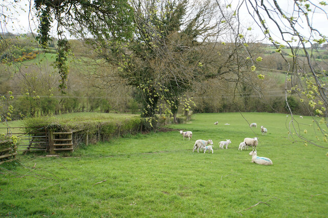
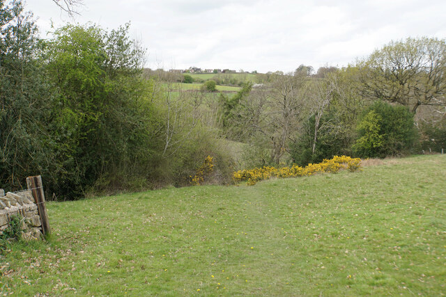
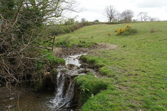
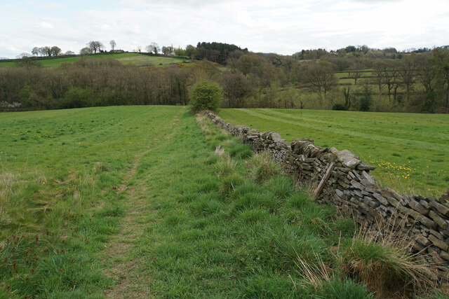
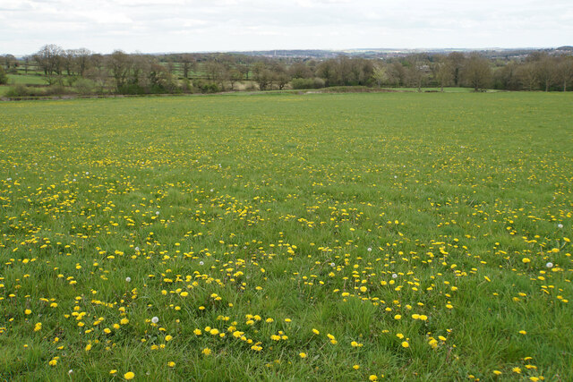
Hollins is a small village located in the county of Derbyshire, England. Situated on the outskirts of Belper, Hollins is known for its picturesque surroundings and tranquil atmosphere. The village is nestled within the rolling hills and green landscapes that Derbyshire is renowned for, offering residents and visitors a sense of serenity and natural beauty.
Hollins is home to a close-knit community, with a population of around 500 residents. The village boasts a number of amenities, including a local pub, a primary school, and a small convenience store, catering to the daily needs of its inhabitants. Its proximity to larger towns and cities such as Belper and Derby ensures that residents have easy access to a wider range of facilities and services.
The area surrounding Hollins is rich in history and offers plenty of opportunities for outdoor activities. The nearby Peak District National Park is a popular destination for hikers, nature lovers, and adventure seekers, with its diverse landscapes, stunning viewpoints, and picturesque trails.
Transportation options in Hollins are relatively limited, with the village being served by a few local bus routes. However, its close proximity to Belper provides access to a wider range of public transportation options, including train services that connect to major cities such as Sheffield and Nottingham.
Overall, Hollins offers residents a peaceful and scenic place to call home, with a strong sense of community and access to the natural beauty of the Derbyshire countryside.
If you have any feedback on the listing, please let us know in the comments section below.
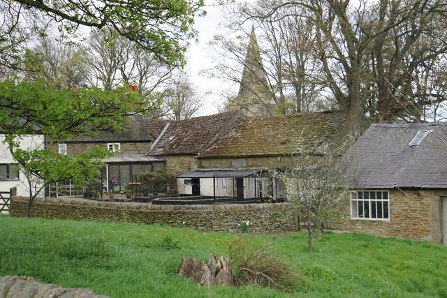
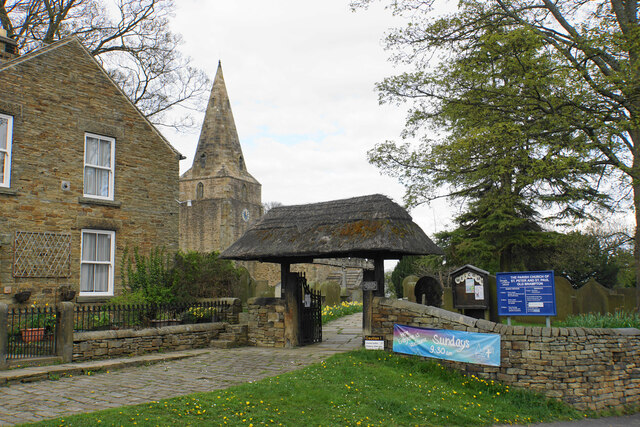
Hollins Images
Images are sourced within 2km of 53.24134/-1.518967 or Grid Reference SK3271. Thanks to Geograph Open Source API. All images are credited.
Hollins is located at Grid Ref: SK3271 (Lat: 53.24134, Lng: -1.518967)
Administrative County: Derbyshire
District: North East Derbyshire
Police Authority: Derbyshire
What 3 Words
///banter.held.wasps. Near Walton, Derbyshire
Nearby Locations
Related Wikis

Brampton, North East Derbyshire
Brampton is a civil parish in North East Derbyshire, England, with a population of 1,201 in 2011. Lying 130 miles (210 km) north west of London, 20 miles...

Wadshelf
Wadshelf is a small village in Derbyshire, England. It is located between Chesterfield and Baslow, just inside the Peak District national park. It is near...

Old Brampton
Old Brampton is a village in the civil parish of Brampton, in the county of Derbyshire, England. It lies 3 miles to the west of Chesterfield, on a spur...
St Peter and St Paul's Church, Old Brampton
St Peter and St Paul's Church is a Grade I listed parish church in the Church of England in Old Brampton, Brampton, North East Derbyshire. == History... ==

Ingmanthorpe, Derbyshire
Ingmanthorpe is a hamlet in Brampton, Derbyshire, England. Ingmanthorpe is located on the B6050 road some 3 miles (4.8 km) west of the town of Chesterfield...

North East Derbyshire (UK Parliament constituency)
North East Derbyshire is a constituency created in 1885 represented in the House of Commons of the UK Parliament since 2017 by Lee Rowley of the Conservative...

Holymoorside and Walton
Holymoorside and Walton is a civil parish within the North East Derbyshire district, which is in the county of Derbyshire, England. Named for its main...

Barlow Woodseats Hall
Barlow Woodseats Hall is a Grade II* listed manor house situated at Barlow Woodseats, on the edge of the village of Barlow, in Derbyshire. It remains the...
Related Videos
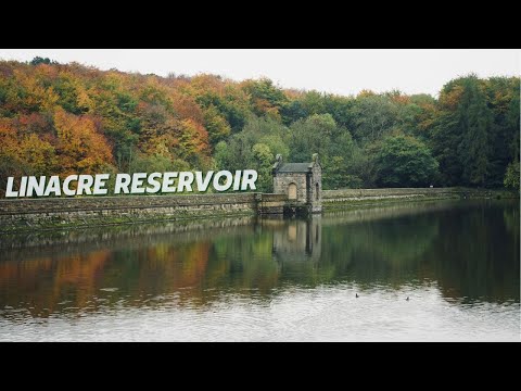
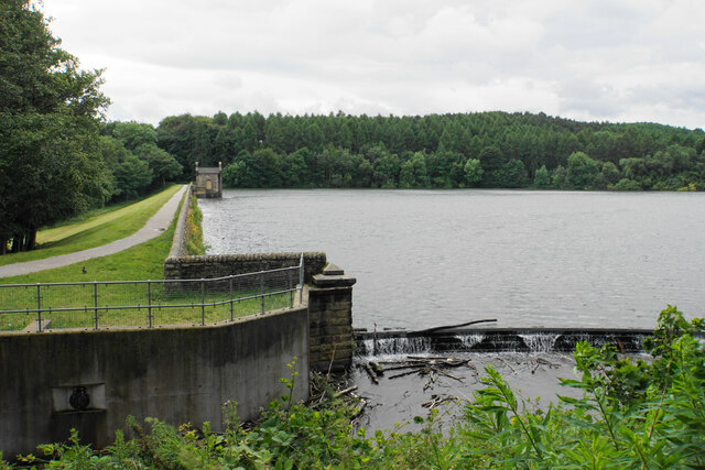
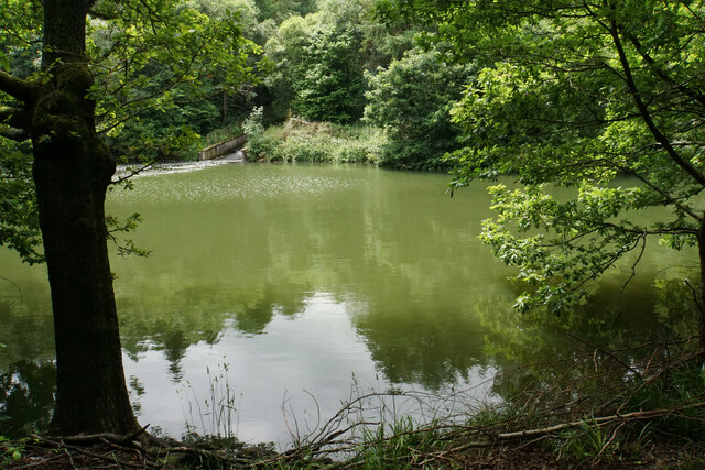
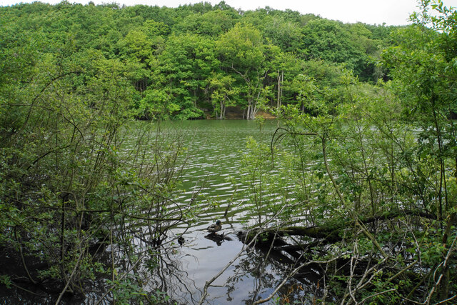
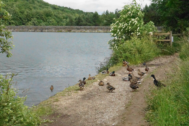
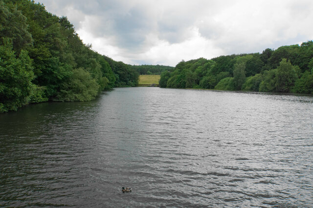
Linacre Reservoir Circular Walk, Chesterfield: Soothing Nature Sounds and Scenery
Join me on a relaxing walk around Linacre Reservoir, located in the heart of Chesterfield. This video isn't your typical vlog; it's a ...

Linacre reservoirs Peak Districts national park traveling with dog
Discover this 4.7-km circular trail near Chesterfield, Derbyshire. Generally considered an easy route, it takes an average of 1 h 16 ...

walk round Linacre Reservoirs in Chesterfield and brief history
this is linacre reservoirs to the west of Chesterfield in the village of cutthorpe there are three reservoirs with easy walks of different ...

4K60fps Scenic Gimble Walk - Linacre Reservoirs - Chesterfield, Derbyshire - DJI Pocket 2
Sit back and relax for a gimble walk around the Linacre Reservoirs, near Chesterfield in Derbyshire. We'll follow the woodland ...
Nearby Amenities
Located within 500m of 53.24134,-1.518967Have you been to Hollins?
Leave your review of Hollins below (or comments, questions and feedback).