Bramma Wood

Wood, Forest in Derbyshire North East Derbyshire

England

Bramma Wood

Outflow from Middle Linacre Reservoir
Outflow from Middle Linacre Reservoir Credit: Bill Boaden

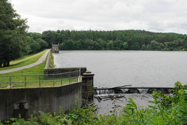
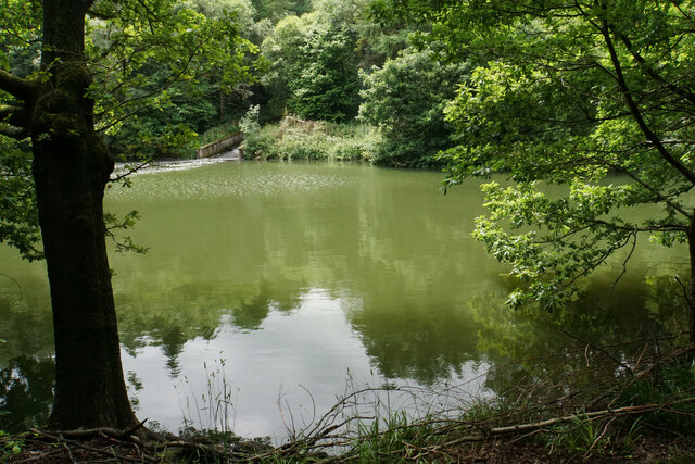
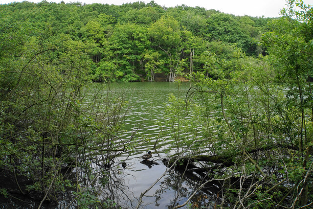
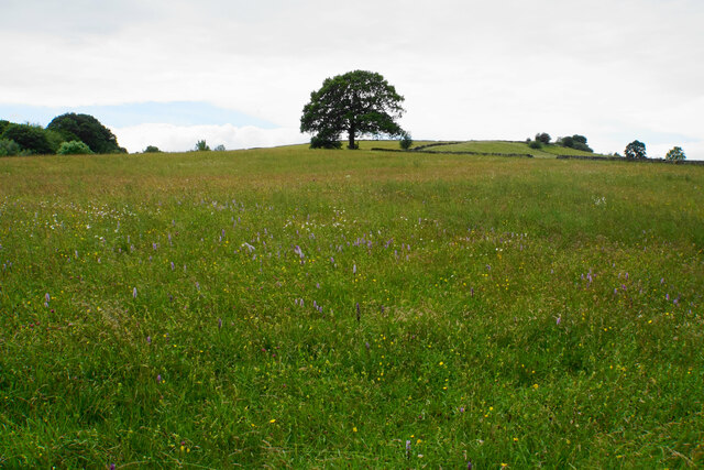
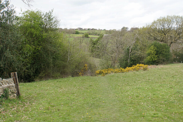
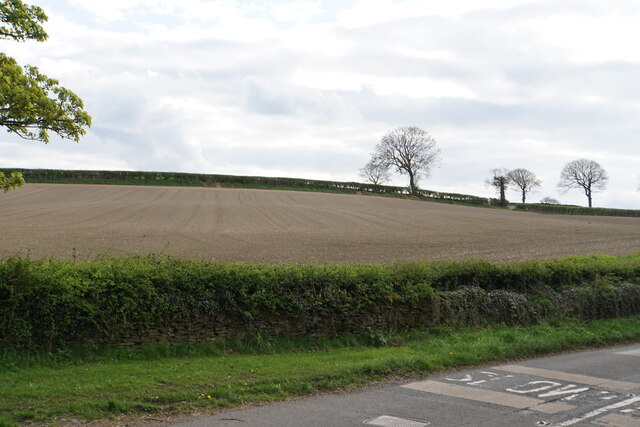
Bramma Wood is a picturesque woodland situated in the county of Derbyshire, England. Covering an area of approximately 50 acres, it is one of the many wooded areas that make up the beautiful Peak District National Park. The wood is located near the village of Brampton, just a few miles away from the bustling market town of Chesterfield.

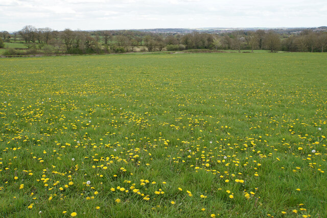
The wood is predominantly made up of native broadleaf trees such as oak, beech, and birch, providing a diverse and vibrant ecosystem. It is home to a wide range of flora and fauna, including various species of birds, mammals, and insects. Walking through the wood, visitors can expect to see a carpet of bluebells in the spring, vibrant foliage in the autumn, and an abundance of wildlife throughout the year.

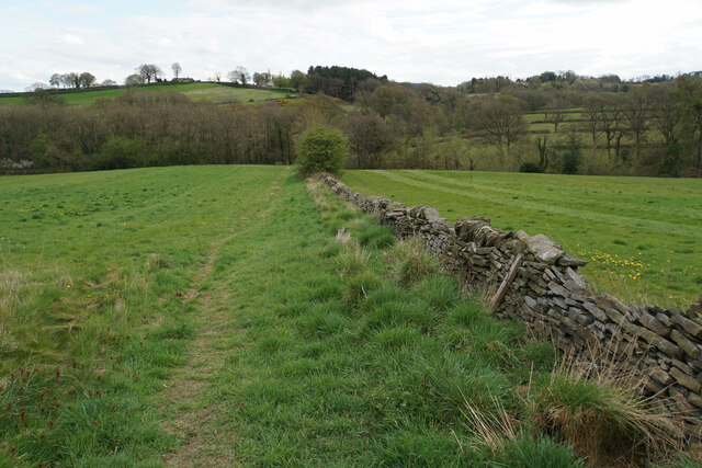
There are several well-maintained footpaths that crisscross the wood, offering visitors the opportunity to explore its natural beauty. These paths are suitable for both leisurely strolls and more adventurous hikes, providing something for everyone. Along the way, there are benches and picnic areas where visitors can rest and enjoy the tranquil surroundings.

Bramma Wood is a popular destination for nature lovers, photographers, and outdoor enthusiasts alike. Its close proximity to residential areas makes it easily accessible for both locals and tourists. The wood offers a wonderful escape from the hustle and bustle of everyday life, allowing visitors to connect with nature and enjoy the peace and serenity it provides.

If you have any feedback on the listing, please let us know in the comments section below.
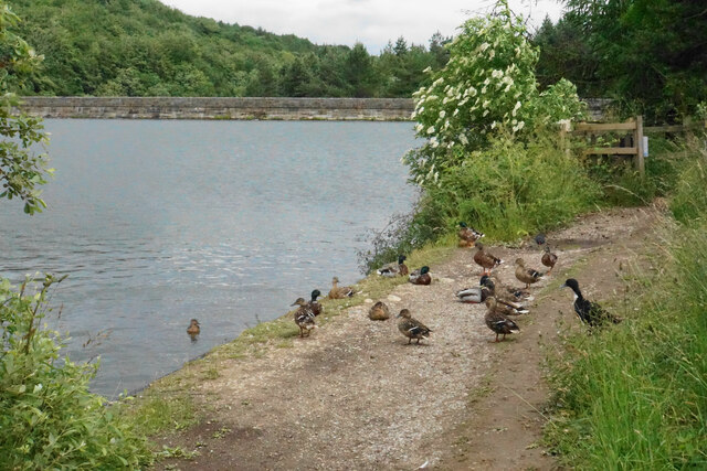
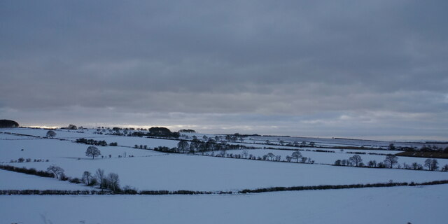
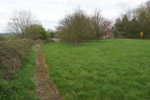
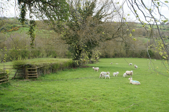
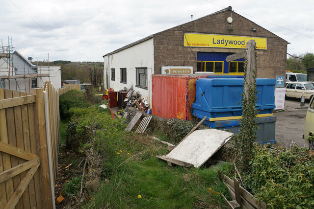
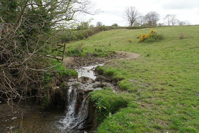
Bramma Wood Images

Images are sourced within 2km of 53.236671/-1.5188573 or Grid Reference SK3271. Thanks to Geograph Open Source API. All images are credited.

Outflow from Middle Linacre Reservoir
The head of Middle Linacre Reservoir Opposite is the outflow from the Upper Reservoir.
The head of Middle Linacre Reservoir
Opposite is the outflow from the Upper Reservoir.
Upper Linacre Reservoir Much of it is surrounded by ancient woodland.
Upper Linacre Reservoir
Much of it is surrounded by ancient woodland.
Meadow above Upper Linacre Reservoir The meadow has a wide diversity of plants, including marsh orchids.
Meadow above Upper Linacre Reservoir
The meadow has a wide diversity of plants, including marsh orchids.
Ducks gathering by Upper Linacre Reservoir The reservoir dam is seen behind.
Ducks gathering by Upper Linacre Reservoir
The reservoir dam is seen behind.
Snowy fields near Wadshelf Looking down from Top Lane. Many of the fields are regular rectangles.
Snowy fields near Wadshelf
Looking down from Top Lane. Many of the fields are regular rectangles.
Former course of the A619 The road from Chesterfield to Baslow used to be bendier on this side of the hill, but many of the bends have been lessened. The new road runs to the right in this image where the road signs are.
Former course of the A619
The road from Chesterfield to Baslow used to be bendier on this side of the hill, but many of the bends have been lessened. The new road runs to the right in this image where the road signs are.
Lambs with their mothers near Ladywood Farm The valley behind carries a tributary of the River Hipper.
Lambs with their mothers near Ladywood Farm
The valley behind carries a tributary of the River Hipper.
Footpath to Old Brampton Perhaps not the most scenic start for the path as it leaves the A619.
Footpath to Old Brampton
Perhaps not the most scenic start for the path as it leaves the A619.
Footpath to Old Brampton The path has just left Westwick Lane. It descends to a brook, then climbs to Old Brampton which can be seen at the top of the hill.
Footpath to Old Brampton
The path has just left Westwick Lane. It descends to a brook, then climbs to Old Brampton which can be seen at the top of the hill.
Brook below Frithhallwood Farm A footpath crosses this brook. It is fine at the moment, but could be a challenge in the winter months when the mud is wet and soft.
Brook below Frithhallwood Farm
A footpath crosses this brook. It is fine at the moment, but could be a challenge in the winter months when the mud is wet and soft.
Footpath towards Chanderhill Two brooks are crossed in the valley bottom before the path climbs the other side.
Footpath towards Chanderhill
Two brooks are crossed in the valley bottom before the path climbs the other side.
Field of dandelions near Old Brampton From this field you can see down to Chesterfield with its crooked spire.
Field of dandelions near Old Brampton
From this field you can see down to Chesterfield with its crooked spire.
Old Brampton A view of the old part of the village from a footpath approaching from the south.
Old Brampton
A view of the old part of the village from a footpath approaching from the south.
Parish church of St Peter & St Paul, Old Brampton A Grade I listed church dating from the 14th Century with Victorian renovations. The lych gate is one of a pair donated in 1937.
Parish church of St Peter & St Paul, Old Brampton
A Grade I listed church dating from the 14th Century with Victorian renovations. The lych gate is one of a pair donated in 1937.
Hemming Green The road is climbing steadily from Old Brampton. On the right is a parish council noticeboard.
Hemming Green
The road is climbing steadily from Old Brampton. On the right is a parish council noticeboard.
Prepared field at Hollins Coming up from Old Brampton, this is the first bit of open field that you see, as most of the road is bounded by houses or foliage.
Prepared field at Hollins
Coming up from Old Brampton, this is the first bit of open field that you see, as most of the road is bounded by houses or foliage.
Hollins Wesleyan Chapel I think the date says 1846. The building is not now in use.
Hollins Wesleyan Chapel
I think the date says 1846. The building is not now in use.
Show me another place!

Bramma Wood is located at Grid Ref: SK3271 (Lat: 53.236671, Lng: -1.5188573)

Administrative County: Derbyshire

District: North East Derbyshire

Police Authority: Derbyshire

What 3 Words

///table.fortnight.cork. Near Walton, Derbyshire

Nearby Locations

Hollins Bramma Wood

Related Wikis

Brampton, North East Derbyshire

Brampton is a civil parish in North East Derbyshire, England, with a population of 1,201 in 2011. Lying 130 miles (210 km) north west of London, 20 miles...

Wadshelf

Wadshelf is a small village in Derbyshire, England. It is located between Chesterfield and Baslow, just inside the Peak District national park. It is near...

Old Brampton

Old Brampton is a village in the civil parish of Brampton, in the county of Derbyshire, England. It lies 3 miles to the west of Chesterfield, on a spur...

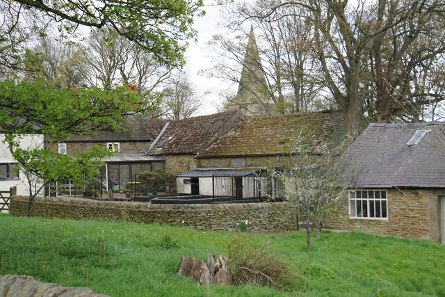
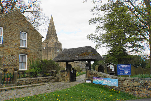
St Peter and St Paul's Church, Old Brampton

St Peter and St Paul's Church is a Grade I listed parish church in the Church of England in Old Brampton, Brampton, North East Derbyshire. == History... ==

North East Derbyshire (UK Parliament constituency)

North East Derbyshire is a constituency created in 1885 represented in the House of Commons of the UK Parliament since 2017 by Lee Rowley of the Conservative...

Ingmanthorpe, Derbyshire

Ingmanthorpe is a hamlet in Brampton, Derbyshire, England. Ingmanthorpe is located on the B6050 road some 3 miles (4.8 km) west of the town of Chesterfield...

Holymoorside and Walton

Holymoorside and Walton is a civil parish within the North East Derbyshire district, which is in the county of Derbyshire, England. Named for its main...

Brookfield Community School, Chesterfield

Brookfield Community School is an academy school located on Chatsworth Road (A619) in the west of Chesterfield, Derbyshire. The school's most recent Ofsted...

Nearby Amenities

Located within 500m of 53.236671,-1.5188573
Passing Place
Lat/Long: 53.2391815/-1.518773
Barrier: stile
Steps: 3
Stile: wall
Lat/Long: 53.2348535/-1.5246232
Barrier: stile
Steps: 2
Stile: wall
Lat/Long: 53.2379536/-1.523405
Barrier: stile
Steps: 3
Stile: wall
Lat/Long: 53.2354522/-1.52479
Barrier: stile
Stile: squeezer
Lat/Long: 53.2360533/-1.5249101
Barrier: stile
Steps: 3
Stile: wall
Lat/Long: 53.2369493/-1.5240249
Barrier: stile
Steps: 1
Stile: wall
Lat/Long: 53.2381877/-1.5218108
Barrier: stile
Stile: squeezer
Lat/Long: 53.2386854/-1.5210713
Barrier: stile
Stile: squeezer
Lat/Long: 53.239508/-1.5202348
Barrier: stile
Steps: 3
Stile: wall
Lat/Long: 53.2395386/-1.5199461
Passing Place
Lat/Long: 53.2397387/-1.5212588
The data included in this document is from www.openstreetmap.org. The data is made available under ODbL.

Have you been to Bramma Wood?

Leave your review of Bramma Wood below (or comments, questions and feedback).