Four Lane Ends
Settlement in Yorkshire
England
Four Lane Ends
Four Lane Ends is a small village located in the picturesque county of Yorkshire, England. Situated in the northern part of the county, Four Lane Ends is surrounded by rolling hills and lush green fields, providing residents and visitors with stunning countryside views.
Despite its small size, Four Lane Ends boasts a close-knit community and a friendly atmosphere. The village is home to a population of approximately 500 people, who take great pride in their surroundings and work together to maintain the village's charm.
The village itself is characterized by its quaint, traditional architecture, with many well-preserved stone cottages and buildings dating back several centuries. The centerpiece of Four Lane Ends is the village green, a well-maintained open space where locals often gather for events and festivities.
Four Lane Ends offers a range of amenities to cater to its residents' needs. These include a local pub, a village hall, and a small convenience store, ensuring that essential supplies are always within reach. The village also benefits from excellent transport links, with a nearby train station and regular bus services connecting it to larger towns and cities in the region.
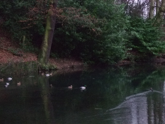
Nature enthusiasts will find themselves in their element in Four Lane Ends, with numerous walking and cycling trails crisscrossing the surrounding countryside. The village is also a short distance away from the Yorkshire Dales National Park, providing ample opportunities for outdoor adventures.
Overall, Four Lane Ends is a charming and idyllic village, offering a peaceful retreat from the hustle and bustle of city life, while still providing necessary amenities and easy access to the wider region.
If you have any feedback on the listing, please let us know in the comments section below.
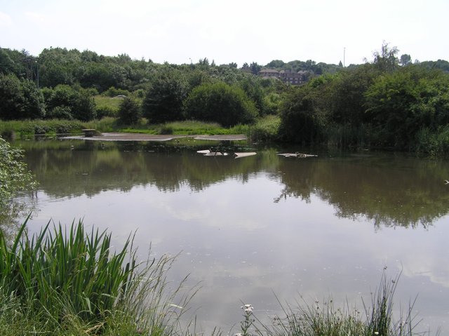
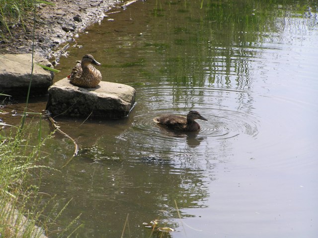
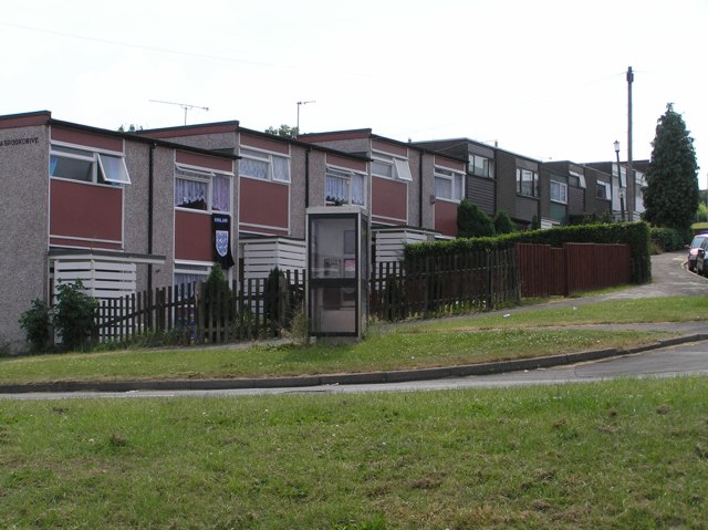
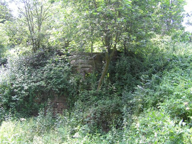
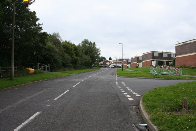
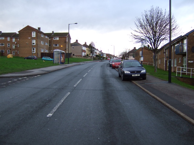
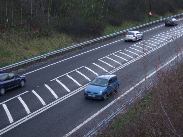
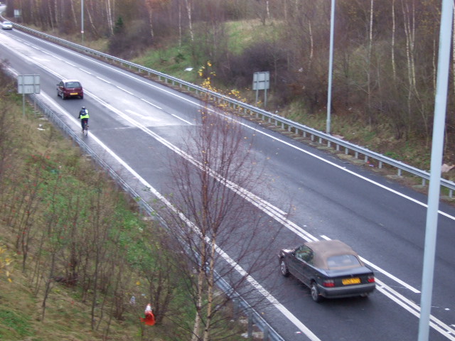
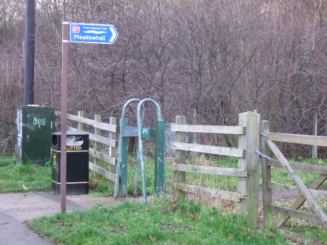
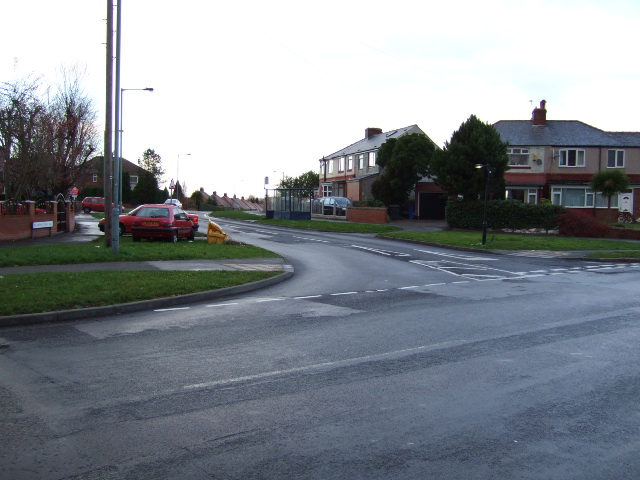
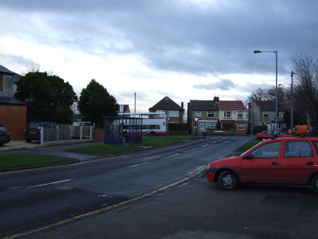
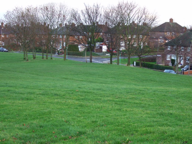
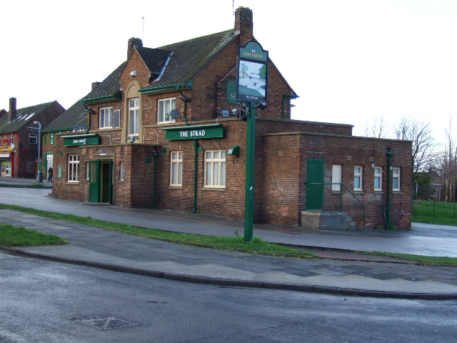
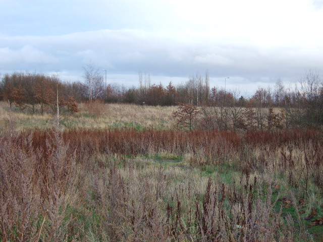
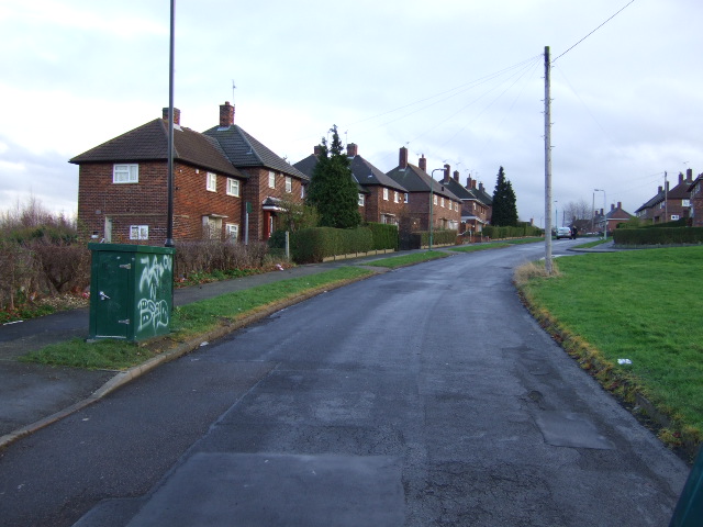
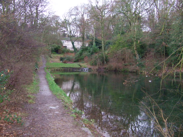
Four Lane Ends Images
Images are sourced within 2km of 53.355122/-1.4115598 or Grid Reference SK3984. Thanks to Geograph Open Source API. All images are credited.

Four Lane Ends is located at Grid Ref: SK3984 (Lat: 53.355122, Lng: -1.4115598)
Division: West Riding
Unitary Authority: Sheffield
Police Authority: South Yorkshire
What 3 Words
///hired.fish.happy. Near Orgreave, South Yorkshire
Nearby Locations
Related Wikis
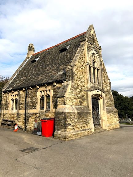
Intake Cemetery, Sheffield
Intake Cemetery is one of the city of Sheffield's many cemeteries. The cemetery, located at Intake, Sheffield, South Yorkshire, England, covers 12 acres...

Intake, Sheffield
Intake is a suburb and former village located 5 miles (8 km) south-east of Sheffield city centre, South Yorkshire, England. Due to expansion during the...
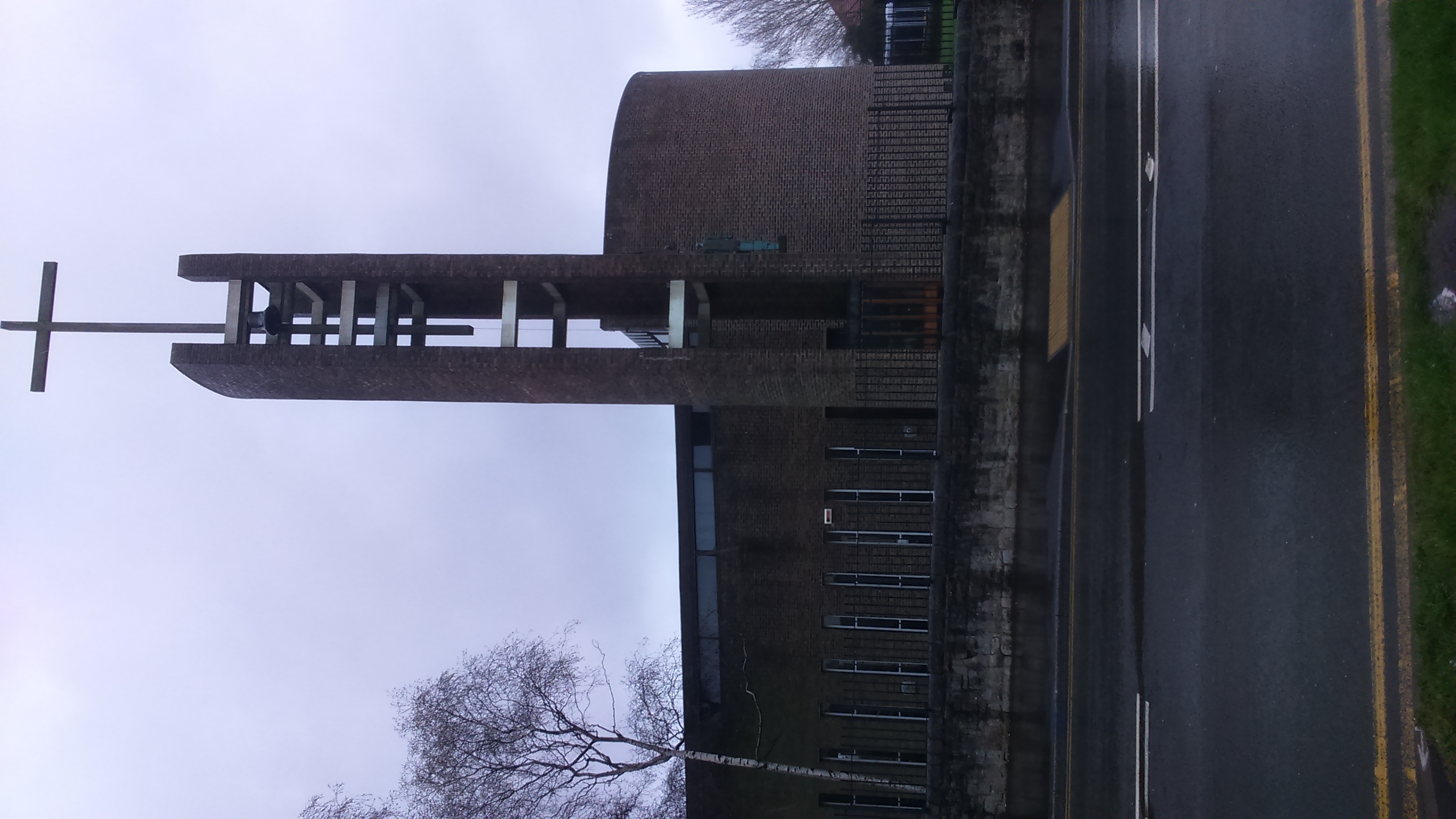
St Catherine of Siena, Richmond
St Catherine of Siena is an Anglican church in the Richmond district of Sheffield in England. == History of the parish == Historically, Richmond was a...

Frecheville Comprehensive
Frecheville Comprehensive School was a secondary school located in Frecheville, South Yorkshire, England. When built, the school was in Derbyshire, but...
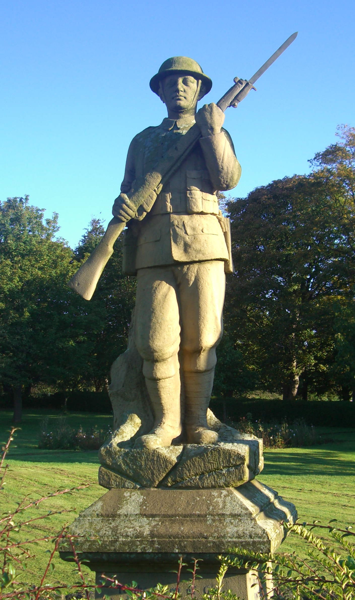
Gleadless War Memorial
The Gleadless War Memorial is a Grade-II listed war memorial located on Hollinsend Road at Gleadless, Sheffield. The statue, which depicts a life size...

Frecheville
Frecheville is a suburb five miles (8.0 km) south-east of Sheffield’s city centre. The estate was built in the 1930s when the area was in Derbyshire. However...

St Theresa's Catholic Primary School
St Theresa's Catholic Primary School is situated on Prince of Wales Road in the suburb of the Manor in the City of Sheffield, England. The school caters...
Gleadless Townend
Gleadless Townend is an outer city district of Sheffield centred on the junction of the ring road, White Lane (B6054) and Gleadless Road (B6388). ��2...
Nearby Amenities
Located within 500m of 53.355122,-1.4115598Have you been to Four Lane Ends?
Leave your review of Four Lane Ends below (or comments, questions and feedback).