King Tor
Hill, Mountain in Devon Teignbridge
England
King Tor
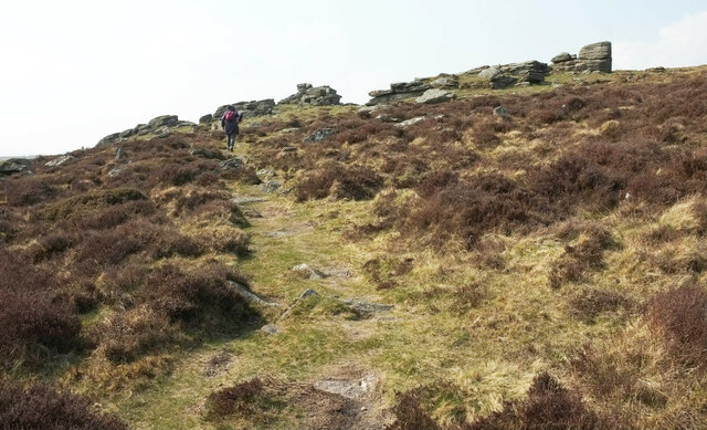
King Tor is a prominent hill located in the county of Devon, England. Standing at an elevation of approximately 350 meters (1,150 feet), it is considered one of the highest points in the area. This natural landmark is situated near the village of Widecombe-in-the-Moor, within the southern region of Dartmoor National Park.
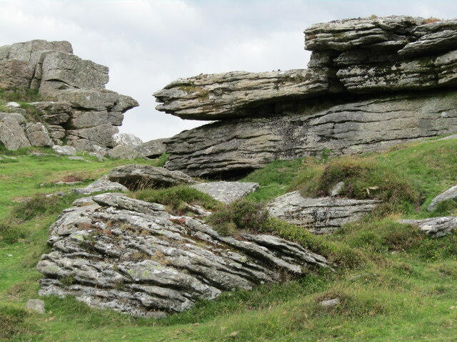
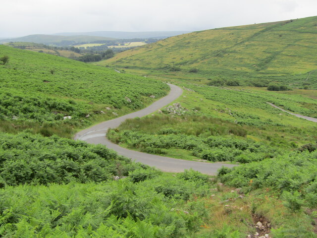
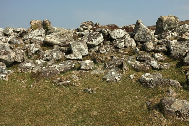
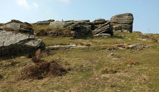
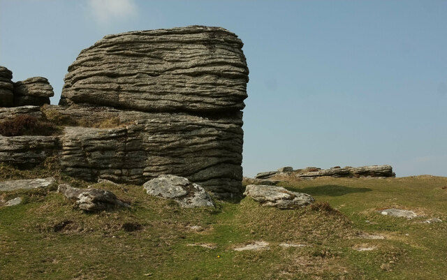
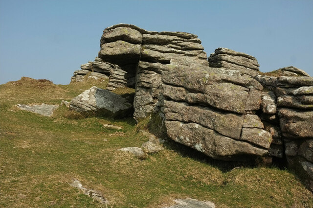
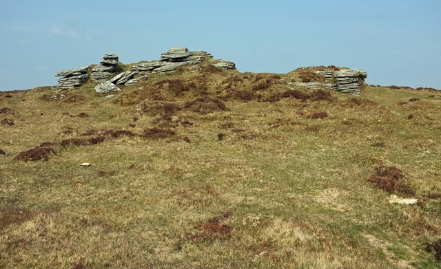
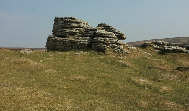
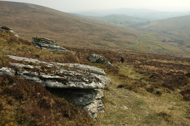
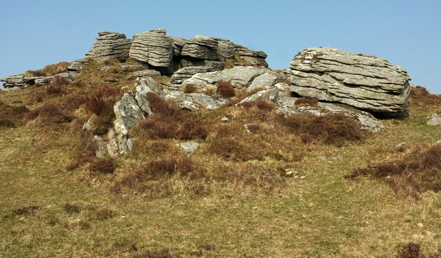
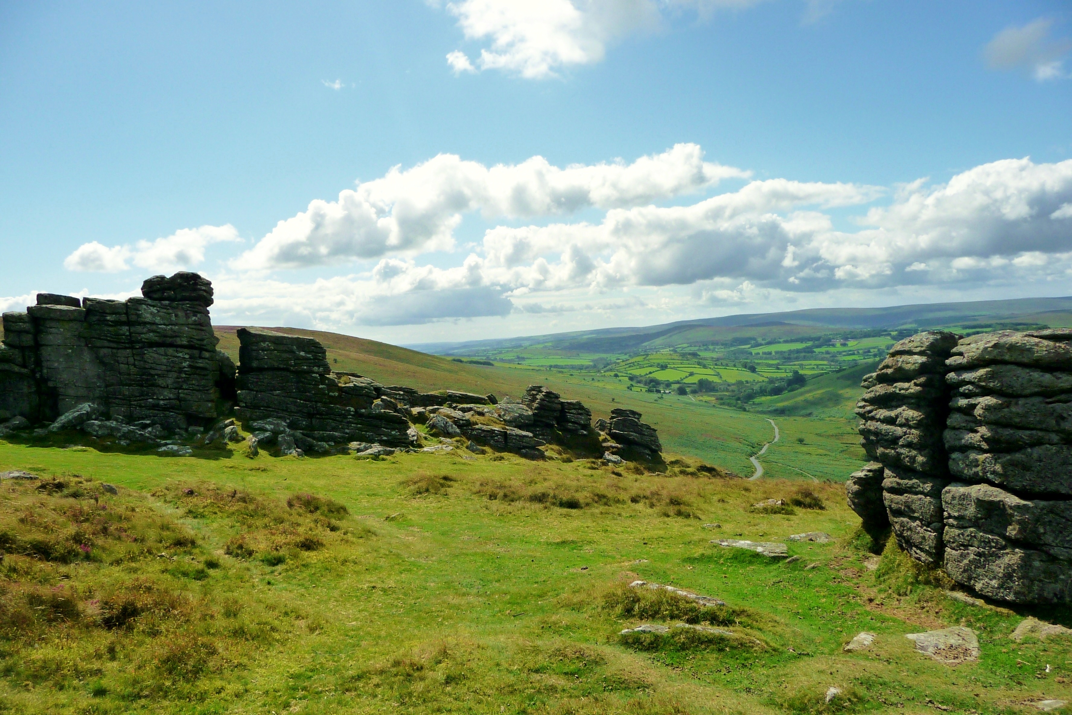
The hill, also referred to as King's Tor or King's Tor Hill, is characterized by its distinctive conical shape and rugged terrain. It is composed mainly of granite, which gives it a unique and picturesque appearance. King Tor offers breathtaking panoramic views of the surrounding countryside and moorland, making it a popular destination for hikers, nature enthusiasts, and photographers.
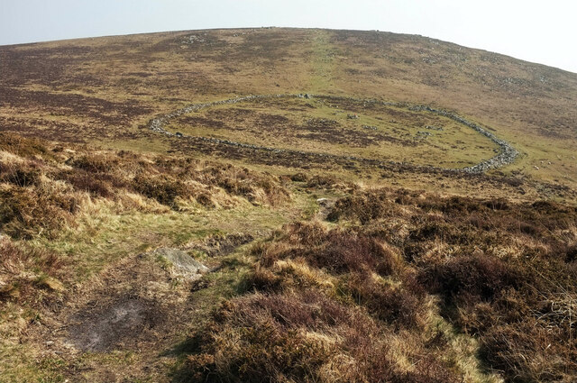
The hill takes its name from the nearby ancient settlement of King's Tor, which dates back to prehistoric times. Archaeological evidence suggests that this area was once inhabited by early humans, and remnants of ancient structures and burial mounds have been discovered in the vicinity.
King Tor is also associated with local legends and folklore, adding to its allure. According to one story, the hill is said to be the final resting place of a mythical king who was turned to stone as a punishment for his wicked deeds. These tales contribute to the mystical and enchanting atmosphere that surrounds King Tor, attracting visitors from near and far.
Overall, King Tor is a captivating natural landmark in Devon, offering a combination of stunning views, rich history, and local folklore, making it a must-visit destination for those seeking to explore the beauty of Dartmoor National Park.
If you have any feedback on the listing, please let us know in the comments section below.
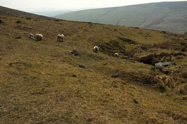
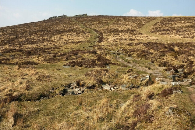
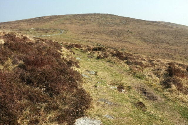
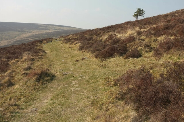
King Tor Images
Images are sourced within 2km of 50.618312/-3.8262217 or Grid Reference SX7081. Thanks to Geograph Open Source API. All images are credited.
King Tor is located at Grid Ref: SX7081 (Lat: 50.618312, Lng: -3.8262217)
Administrative County: Devon
District: Teignbridge
Police Authority: Devon and Cornwall
What 3 Words
///push.diverting.pulsing. Near Chagford, Devon
Nearby Locations
Related Wikis

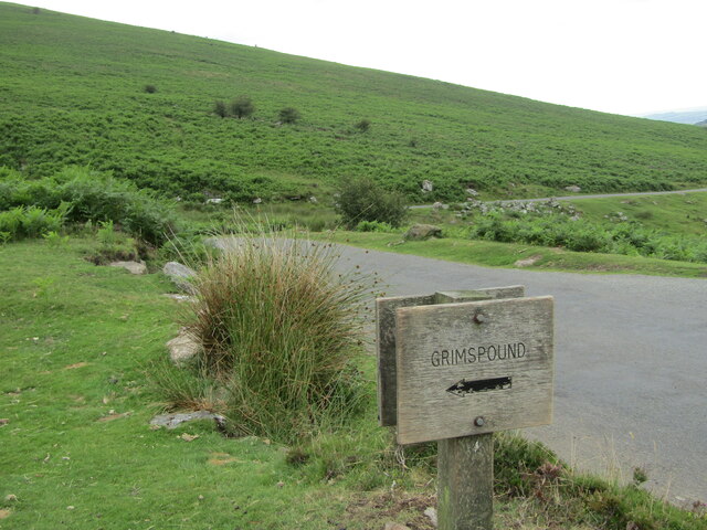
Grimspound
Grimspound is a late Bronze Age settlement, situated on Dartmoor in Devon, England. It consists of a set of 24 hut circles surrounded by a low stone wall...
Hookney Tor
Hookney Tor is a tor, situated on Dartmoor in Devon, England. It lies on the Two Moors Way and remains of Headland Warren farm and Vitifer Mine are also...

Easdon Tor
Easdon Tor is a granite tor on Dartmoor, in southwest England. It stands at 439 metres above sea level and the highest point is marked with a triangulation...

Jay's Grave
Jay's Grave (or Kitty Jay's Grave) is supposedly the last resting place of a suicide victim who is thought to have died in the late 18th century. It has...
Nearby Amenities
Located within 500m of 50.618312,-3.8262217Have you been to King Tor?
Leave your review of King Tor below (or comments, questions and feedback).