King's Barrow

Heritage Site in Devon Teignbridge

England

King's Barrow

Birch Tor Granite jointed and weathered rocks on the moorland above Bennett's Cross.
<span class="nowrap"><a title="www.dartmoor.gov.uk" rel="nofollow ugc noopener" href="http://www.dartmoor.gov.uk">Link</a><img style="margin-left:2px;" alt="External link" title="External link - shift click to open in new window" src="https://s1.geograph.org.uk/img/external.png" width="10" height="10"/></span>
Birch Tor Credit: Colin Smith

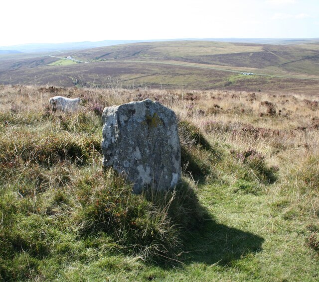
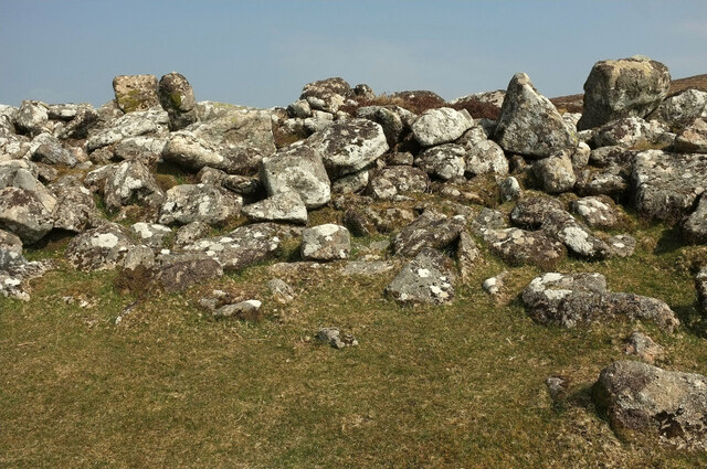
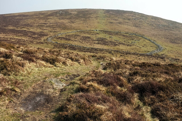
King's Barrow is a prominent heritage site located in the county of Devon, England. Situated within the picturesque Dartmoor National Park, it is a significant archaeological monument that dates back to the Neolithic period, making it over 4,000 years old.

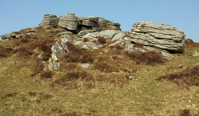
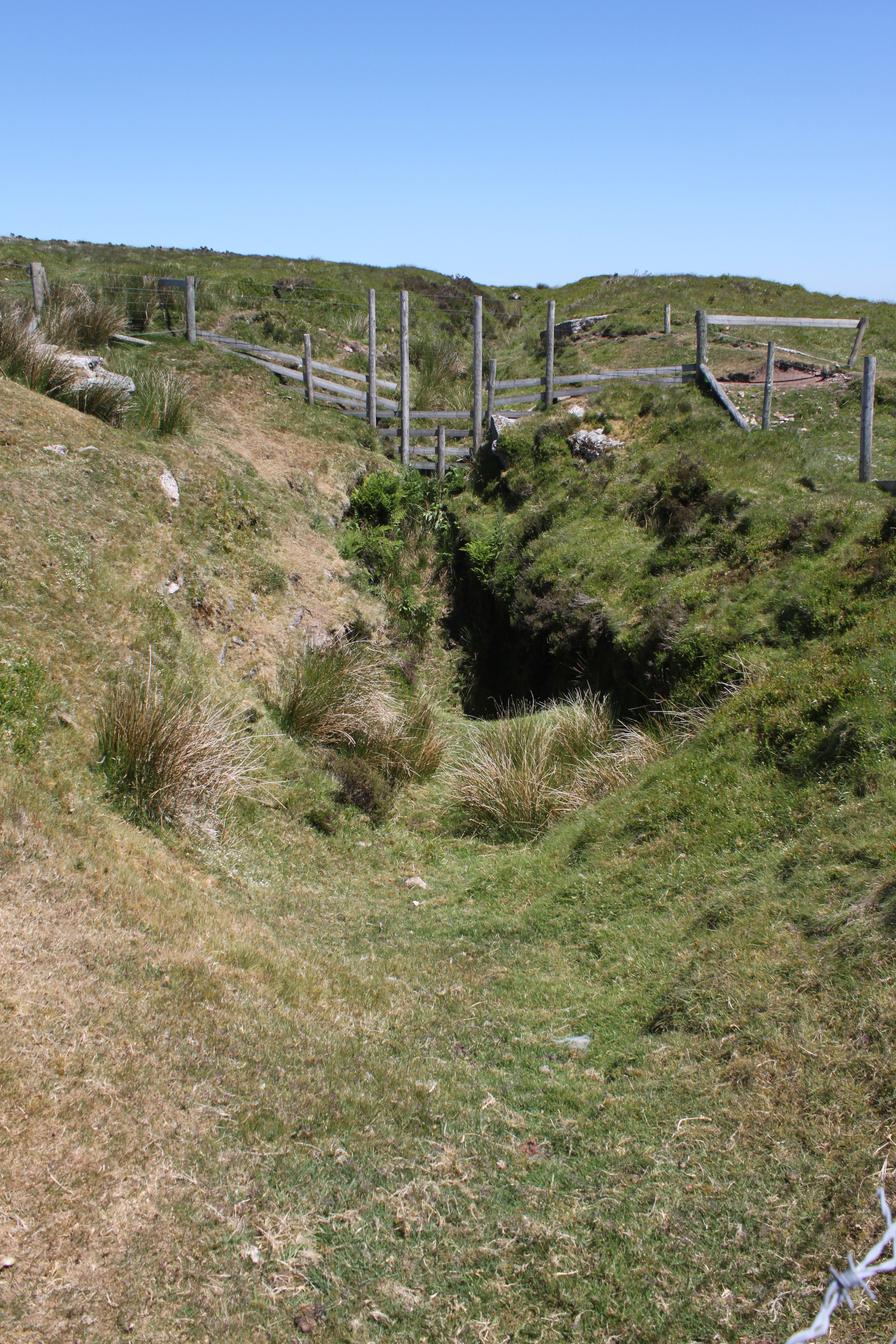
This ancient burial mound, also known as a tumulus or barrow, stands at an impressive height of approximately 3 meters and has a diameter of around 30 meters. It is believed to have been constructed as a burial site for important individuals within the local community during the Bronze Age. The barrow is surrounded by a circular ditch, which was likely created as a defensive measure or to demarcate the sacredness of the monument.

The construction of King's Barrow showcases the advanced engineering skills of the Neolithic people, as large stones were used to create the mound. These stones were sourced locally, adding to the historical and cultural significance of the site. The barrow has been carefully preserved over the centuries and is now protected as a scheduled ancient monument.

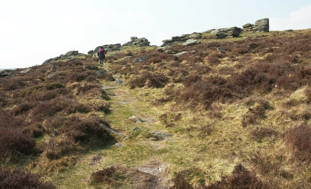
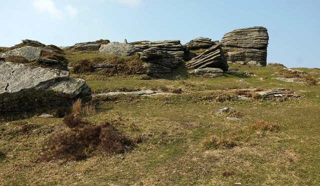
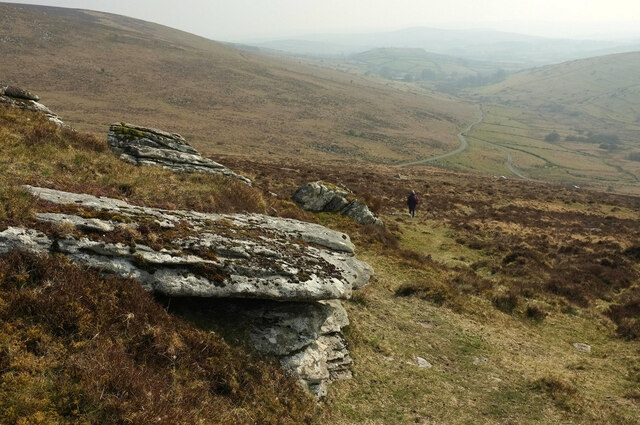
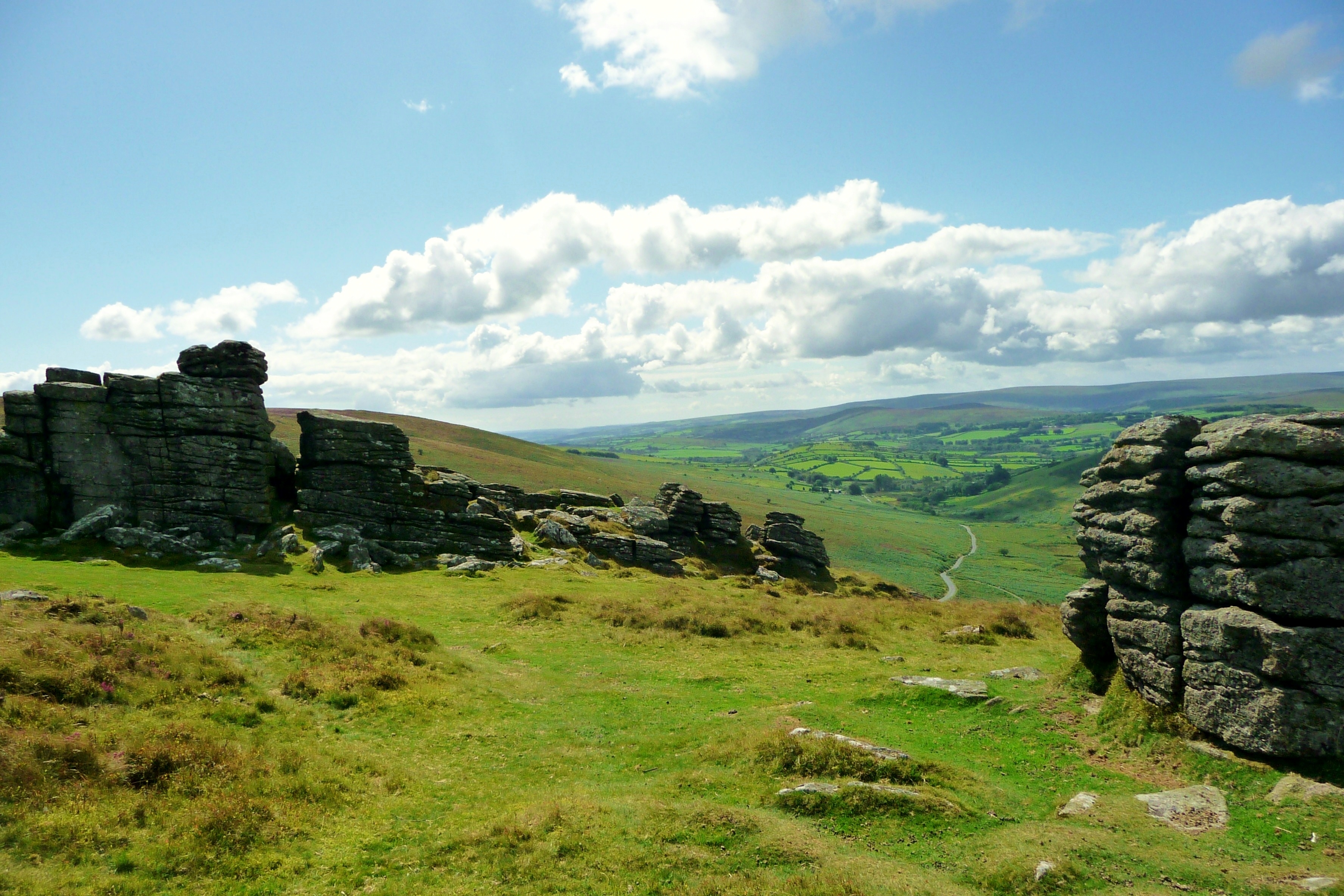
Today, visitors to King's Barrow can explore this ancient burial site and witness the impressive craftsmanship of our ancestors. The barrow offers a unique glimpse into the rituals and beliefs of the Neolithic and Bronze Age communities that once thrived in the area. Its location within the stunning Dartmoor National Park also provides visitors with breathtaking views of the surrounding landscape, further enhancing the overall experience.

If you have any feedback on the listing, please let us know in the comments section below.

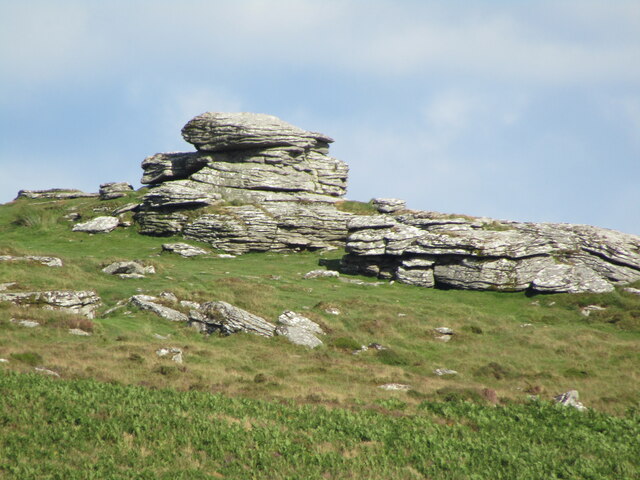
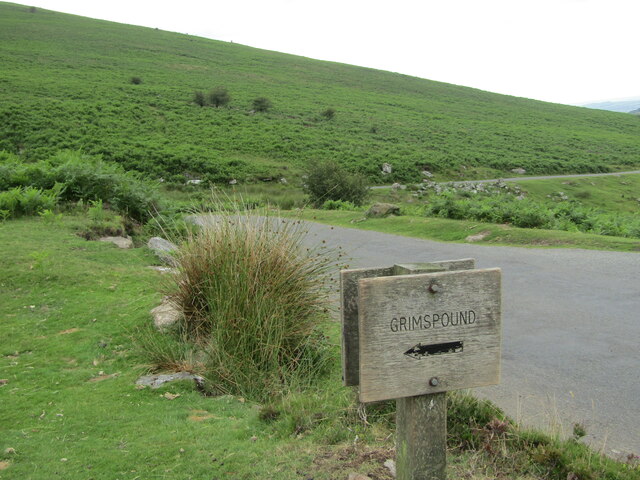
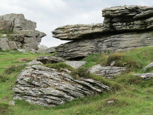
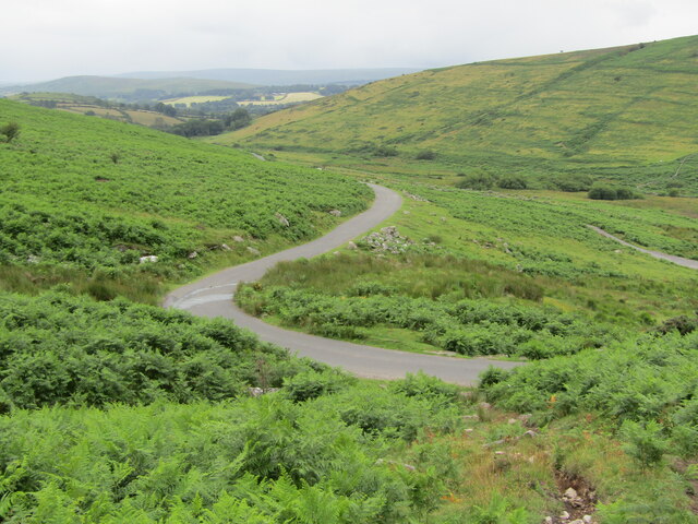
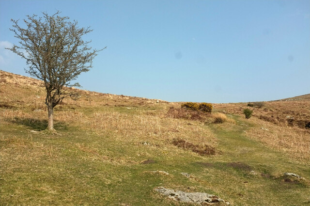
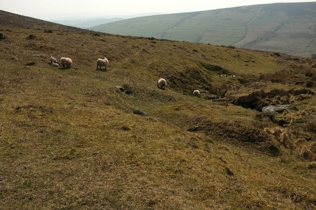
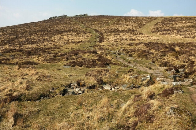
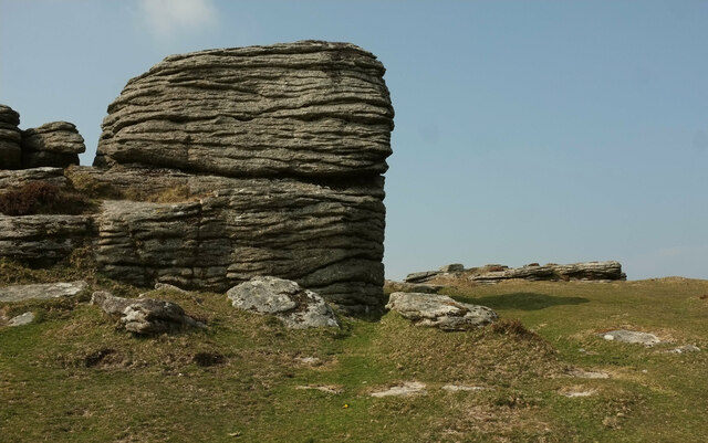
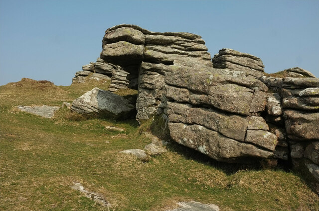
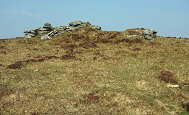
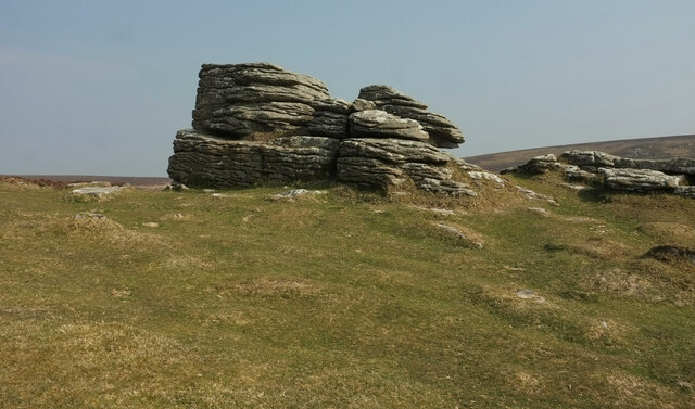
King's Barrow Images

Images are sourced within 2km of 50.618/-3.83 or Grid Reference SX7081. Thanks to Geograph Open Source API. All images are credited.

Birch Tor Granite jointed and weathered rocks on the moorland above Bennett's Cross.
<span class="nowrap"><a title="www.dartmoor.gov.uk" rel="nofollow ugc noopener" href="http://www.dartmoor.gov.uk">Link</a><img style="margin-left:2px;" alt="External link" title="External link - shift click to open in new window" src="https://s1.geograph.org.uk/img/external.png" width="10" height="10"/></span>
Birch Tor
Granite jointed and weathered rocks on the moorland above Bennett's Cross. LinkExternal link
Grimspound Wooden footpath sign pointing from the small roadside car park towards the remains of a Bronze Age settlement, today named Grimspound.
<span class="nowrap"><a title="www.dartmoor.gov.uk" rel="nofollow ugc noopener" href="http://www.dartmoor.gov.uk">Link</a><img style="margin-left:2px;" alt="External link" title="External link - shift click to open in new window" src="https://s1.geograph.org.uk/img/external.png" width="10" height="10"/></span>
Grimspound
Wooden footpath sign pointing from the small roadside car park towards the remains of a Bronze Age settlement, today named Grimspound. LinkExternal link
Hookney Tor Granite jointed and weathered rocks at Hookney Tor, 497m amsl.
<span class="nowrap"><a title="www.dartmoor.gov.uk" rel="nofollow ugc noopener" href="http://www.dartmoor.gov.uk">Link</a><img style="margin-left:2px;" alt="External link" title="External link - shift click to open in new window" src="https://s1.geograph.org.uk/img/external.png" width="10" height="10"/></span>
Hookney Tor
Granite jointed and weathered rocks at Hookney Tor, 497m amsl. LinkExternal link
Dartmoor - Firth Bridge View over a narrow road, winding across moorland with much bracken and heather.
<span class="nowrap"><a title="www.dartmoor.gov.uk" rel="nofollow ugc noopener" href="http://www.dartmoor.gov.uk">Link</a><img style="margin-left:2px;" alt="External link" title="External link - shift click to open in new window" src="https://s1.geograph.org.uk/img/external.png" width="10" height="10"/></span>
Dartmoor - Firth Bridge
View over a narrow road, winding across moorland with much bracken and heather. LinkExternal link
Old Boundary Marker north of Birch Tor, North Bovey parish Estate Boundary Marker 10 metres northwest of the tumulus on Birch Tor. North Bovey parish. Inscribed W B to mark the boundary of the Headland Warren, and dating from 1780. Grade II Listed details <span class="nowrap"><a title="https://historicengland.org.uk/listing/the-list/list-entry/1021341" rel="nofollow ugc noopener" href="https://historicengland.org.uk/listing/the-list/list-entry/1021341">Link</a><img style="margin-left:2px;" alt="External link" title="External link - shift click to open in new window" src="https://s1.geograph.org.uk/img/external.png" width="10" height="10"/></span>.

Milestone Society National ID: DV_CCFB04em
Old Boundary Marker north of Birch Tor, North Bovey parish
Estate Boundary Marker 10 metres northwest of the tumulus on Birch Tor. North Bovey parish. Inscribed W B to mark the boundary of the Headland Warren, and dating from 1780. Grade II Listed details LinkExternal link. Milestone Society National ID: DV_CCFB04em
Moorland west of Grimspound The path leads to the prehistoric settlement.
Moorland west of Grimspound
The path leads to the prehistoric settlement.
Sheep near Grimspound With Grim's Lake on the right and the West Webburn valley behind.
Sheep near Grimspound
With Grim's Lake on the right and the West Webburn valley behind.
Path to Hookney Tor Looking right from <a href="https://www.geograph.org.uk/photo/6964773">SX6980 : Sheep near Grimspound</a>, as the path crosses Grim's Lake and climbs to the tor.
Path to Hookney Tor
Looking right from SX6980 : Sheep near Grimspound, as the path crosses Grim's Lake and climbs to the tor.
Perimeter wall, Grimspound "The enclosure, which is known as Grimspound, survives as a stone and earth wall measuring between 2.5m and 3.5m wide, standing up to 1.25m high, surrounding an internal ovoid area of 1.45ha, containing at least 24 stone hut circles, several lynchets and rubble banks." <span class="nowrap"><a title="https://historicengland.org.uk/listing/the-list/list-entry/1014667" rel="nofollow ugc noopener" href="https://historicengland.org.uk/listing/the-list/list-entry/1014667">Link</a><img style="margin-left:2px;" alt="External link" title="External link - shift click to open in new window" src="https://s1.geograph.org.uk/img/external.png" width="10" height="10"/></span>
Perimeter wall, Grimspound
"The enclosure, which is known as Grimspound, survives as a stone and earth wall measuring between 2.5m and 3.5m wide, standing up to 1.25m high, surrounding an internal ovoid area of 1.45ha, containing at least 24 stone hut circles, several lynchets and rubble banks." LinkExternal link
Path to Grimspound Descending from Hookney Tor. The layout of this Bronze Age settlement <span class="nowrap"><a title="https://historicengland.org.uk/listing/the-list/list-entry/1014667" rel="nofollow ugc noopener" href="https://historicengland.org.uk/listing/the-list/list-entry/1014667">Link</a><img style="margin-left:2px;" alt="External link" title="External link - shift click to open in new window" src="https://s1.geograph.org.uk/img/external.png" width="10" height="10"/></span> is clearly seen from this hillside. The hill opposite is Hameldown Tor.
Path to Grimspound
Descending from Hookney Tor. The layout of this Bronze Age settlement LinkExternal link is clearly seen from this hillside. The hill opposite is Hameldown Tor.
Approaching Hookney Tor From the direction of Grimspound.
Approaching Hookney Tor
From the direction of Grimspound.
Hookney Tor "Of the tors that reside between the watersheds of the West and East Webburn Rivers, it is perhaps Hookney Tor that is the most spectacular, boasting a dominant position above the bronze-age village of Grimspound" <span class="nowrap"><a title="https://www.torsofdartmoor.co.uk/tor-page.php?tor=hookney-tor" rel="nofollow ugc noopener" href="https://www.torsofdartmoor.co.uk/tor-page.php?tor=hookney-tor">Link</a><img style="margin-left:2px;" alt="External link" title="External link - shift click to open in new window" src="https://s1.geograph.org.uk/img/external.png" width="10" height="10"/></span> .
Hookney Tor
"Of the tors that reside between the watersheds of the West and East Webburn Rivers, it is perhaps Hookney Tor that is the most spectacular, boasting a dominant position above the bronze-age village of Grimspound" LinkExternal link .
Rockpile, Hookney Tor A closer view of one of the rockpiles shown in <a href="https://www.geograph.org.uk/photo/6970213">SX6981 : Hookney Tor</a>.
Rockpile, Hookney Tor
A closer view of one of the rockpiles shown in SX6981 : Hookney Tor.
Hookney Tor There are several separate parts to the tor; this was taken in a central spot.
Hookney Tor
There are several separate parts to the tor; this was taken in a central spot.
Hookney Tor A northern part of the tor.
Hookney Tor
A northern part of the tor.
Hookney Tor The other side of the rockpile shown in <a href="https://www.geograph.org.uk/photo/6970230">SX6981 : Rockpile, Hookney Tor</a>.
Hookney Tor
The other side of the rockpile shown in SX6981 : Rockpile, Hookney Tor.
Descending from Hookney Tor The path is heading for Firth Bridge.
Descending from Hookney Tor
The path is heading for Firth Bridge.
Hookney Tor The southwestern part of the tor.
Hookney Tor
The southwestern part of the tor.
Show me another place!

King's Barrow is located at Grid Ref: SX7081 (Lat: 50.618, Lng: -3.83)

Administrative County: Devon

District: Teignbridge

Police Authority: Devon and Cornwall

What 3 Words

///snows.collision.walled. Near Chagford, Devon

Related Wikis

Grimspound

Grimspound is a late Bronze Age settlement, situated on Dartmoor in Devon, England. It consists of a set of 24 hut circles surrounded by a low stone wall...

Hookney Tor

Hookney Tor is a tor, situated on Dartmoor in Devon, England. It lies on the Two Moors Way and remains of Headland Warren farm and Vitifer Mine are also...

Easdon Tor

Easdon Tor is a granite tor on Dartmoor, in southwest England. It stands at 439 metres above sea level and the highest point is marked with a triangulation...

Birch Tor and Vitifer mine

Birch Tor and Vitifer mine was a tin mine on Dartmoor, Devon, England. Located in the valley of the Redwater Brook, to the east of the B3212 Moretonhampstead...

Nearby Amenities

Located within 500m of 50.618,-3.83
King Tor
Created By: Potlatch 0.10f
Natural: peak
Source: NPE
Lat/Long: 50.6198497/-3.8256282
Man Made: cairn
Lat/Long: 50.6157258/-3.8330677
King's Barroe
Man Made: cairn
Lat/Long: 50.6183575/-3.825884
Boundary Stone
Historic: boundary_stone
Lat/Long: 50.6161567/-3.827482
The data included in this document is from www.openstreetmap.org. The data is made available under ODbL.

Have you been to King's Barrow?

Leave your review of King's Barrow below (or comments, questions and feedback).