Hookney Down
Downs, Moorland in Devon Teignbridge
England
Hookney Down
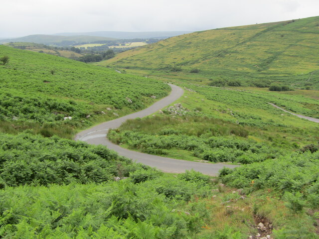
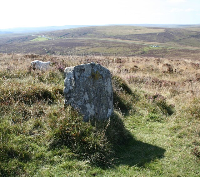
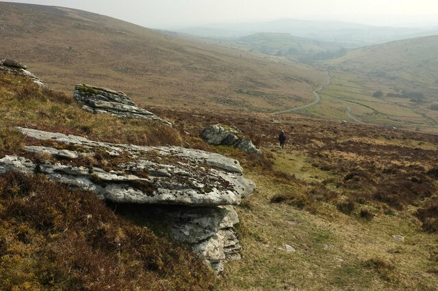
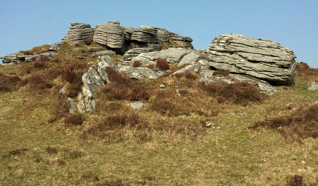
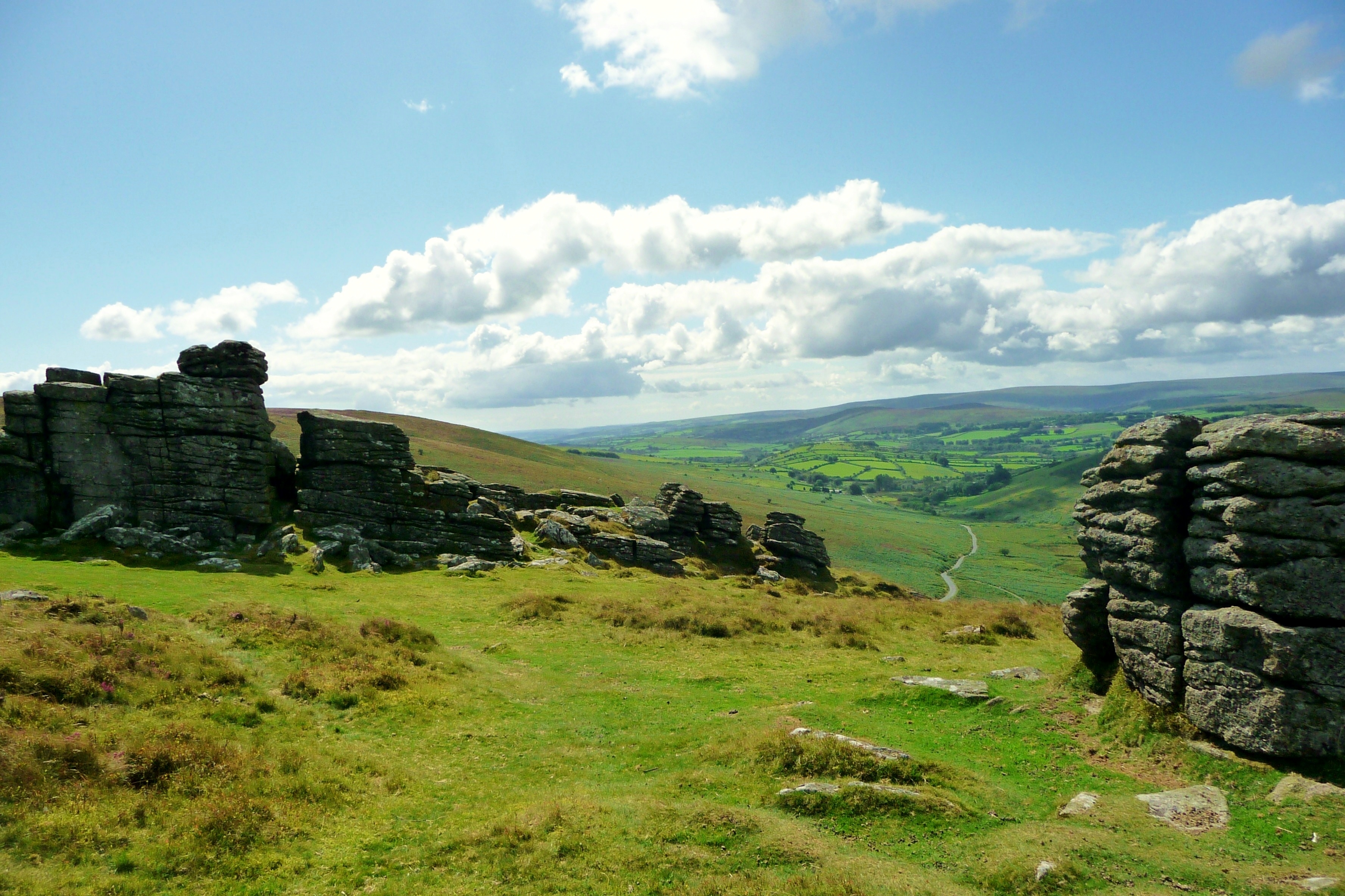
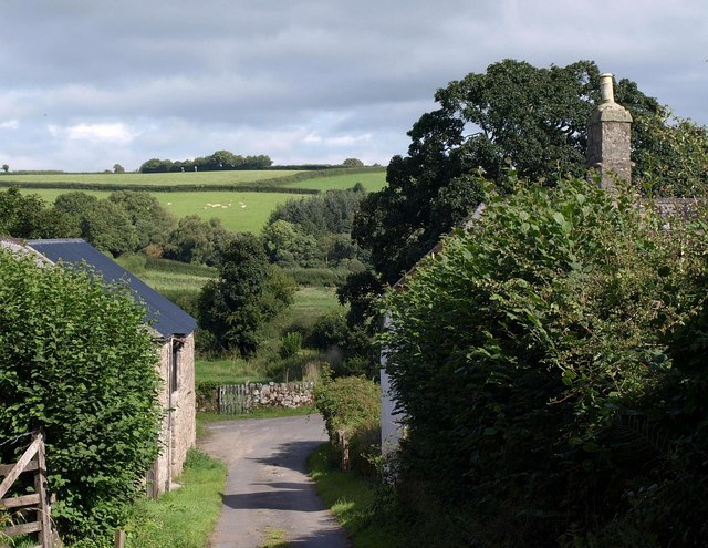
Hookney Down is a scenic and expansive area located in the county of Devon, England. Stretching across rolling hills and moorland, it offers breathtaking vistas and a diverse range of natural features. The downs cover an area of approximately 500 hectares and are a popular destination for outdoor enthusiasts, nature lovers, and those seeking tranquility in a picturesque setting.
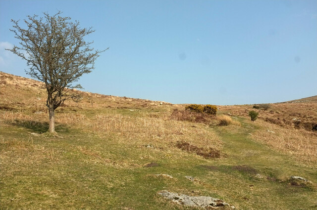
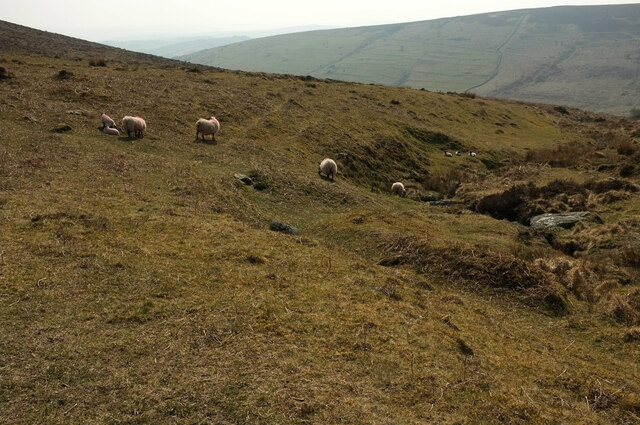
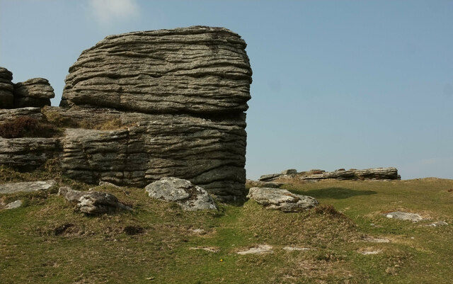
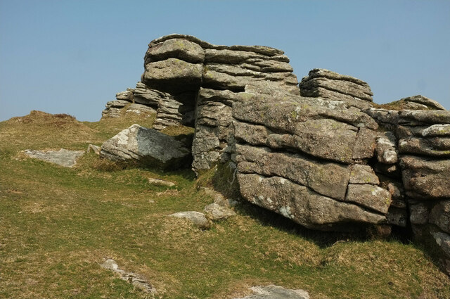
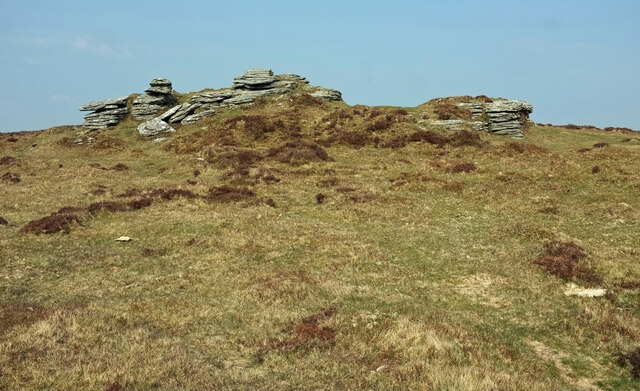
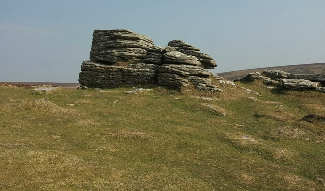
The landscape of Hookney Down is characterized by gently sloping hills, covered in heather and grasses, which create a patchwork of colors throughout the year. The area is also home to a variety of wildlife, including birds, small mammals, and rare plant species. Visitors can often spot kestrels, skylarks, and buzzards soaring above, while rabbits and foxes can be seen darting through the undergrowth.
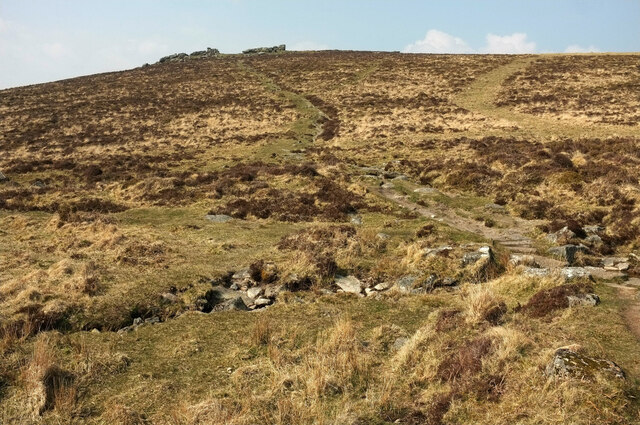
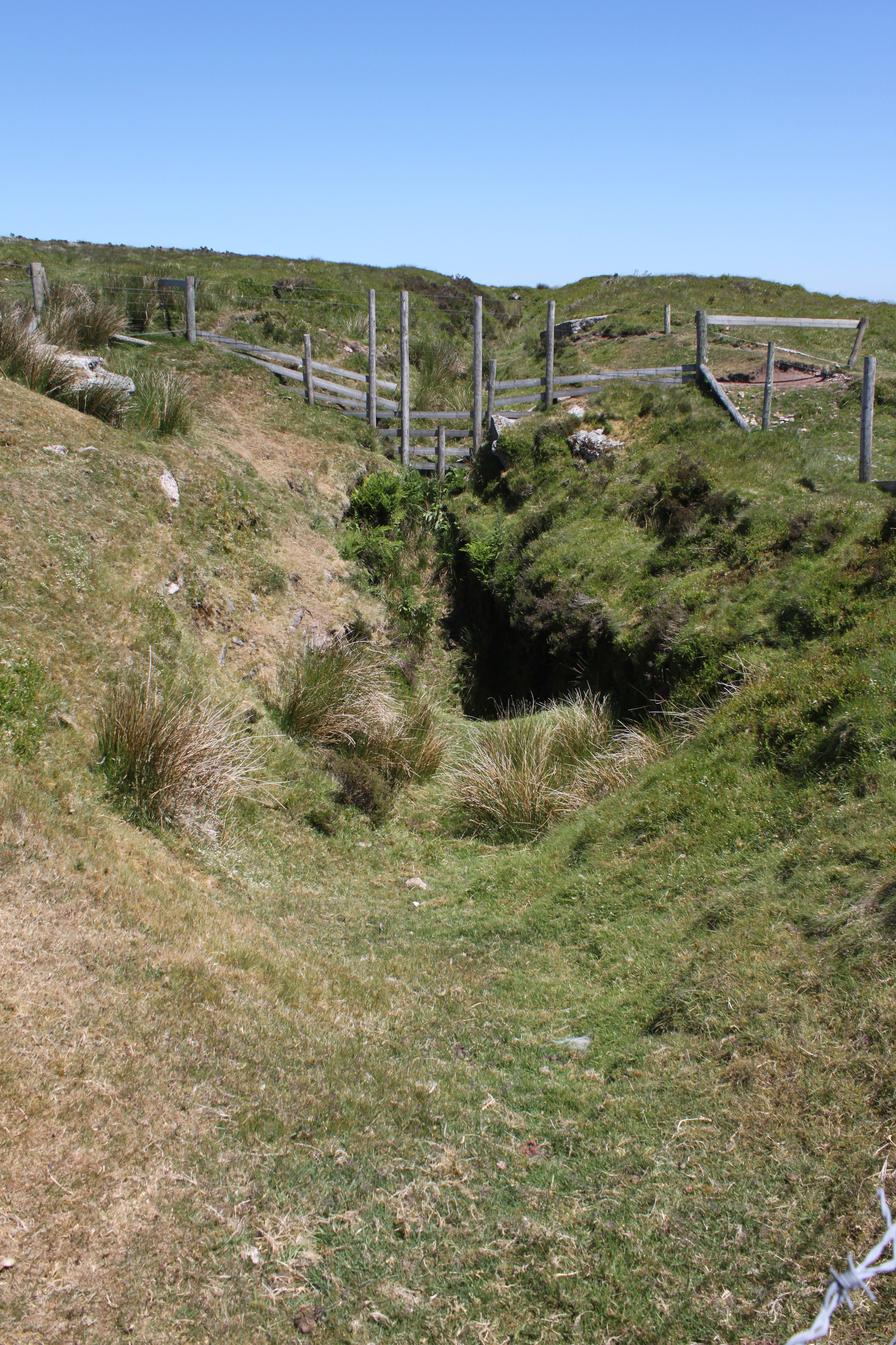
The downland is crisscrossed by a network of footpaths and bridleways, making it an ideal location for walking, hiking, and horse riding. These paths provide access to the area's natural beauty, with stunning views across the surrounding countryside. Additionally, there are designated areas for picnicking, allowing visitors to relax and soak in the peaceful atmosphere.
Hookney Down is easily accessible, with several parking areas available for visitors. The location also benefits from a nearby village, offering amenities such as cafes and shops for those looking to enjoy a day out in the countryside.
Overall, Hookney Down in Devon is a captivating destination for those seeking to immerse themselves in the beauty of the English countryside. Its wide open spaces, diverse wildlife, and stunning views make it a cherished location for both locals and tourists alike.
If you have any feedback on the listing, please let us know in the comments section below.
Hookney Down Images
Images are sourced within 2km of 50.618207/-3.8323246 or Grid Reference SX7081. Thanks to Geograph Open Source API. All images are credited.
Hookney Down is located at Grid Ref: SX7081 (Lat: 50.618207, Lng: -3.8323246)
Administrative County: Devon
District: Teignbridge
Police Authority: Devon and Cornwall
What 3 Words
///racked.valuables.shrub. Near Chagford, Devon
Nearby Locations
Related Wikis

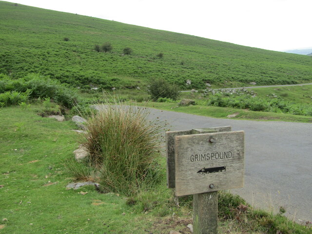
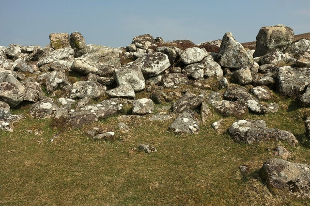
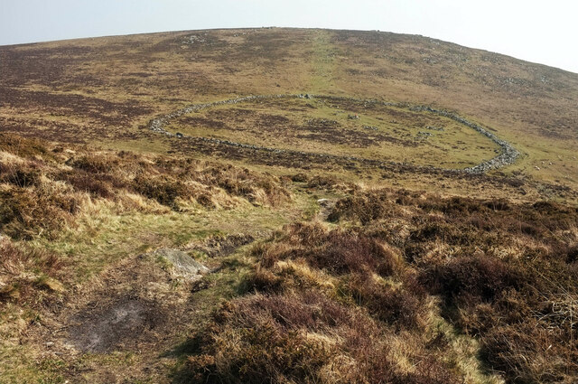
Grimspound
Grimspound is a late Bronze Age settlement, situated on Dartmoor in Devon, England. It consists of a set of 24 hut circles surrounded by a low stone wall...
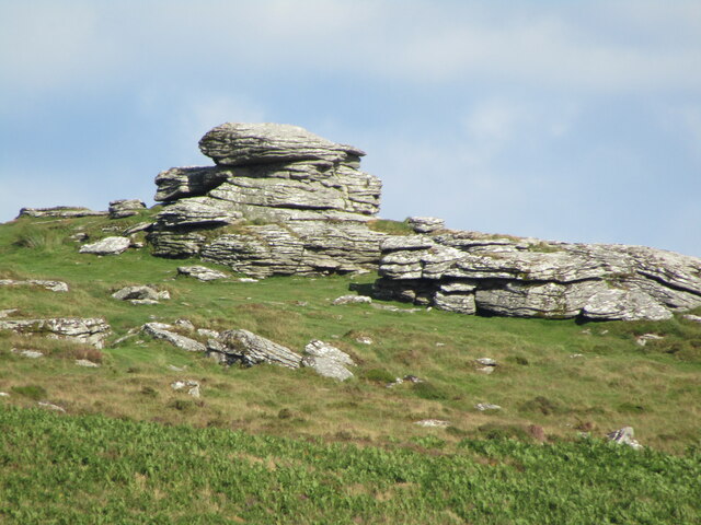
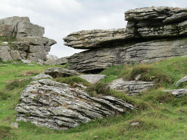
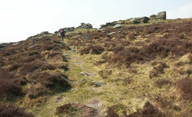
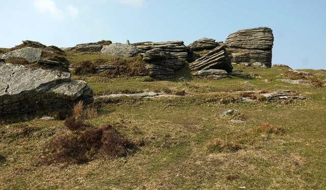
Hookney Tor
Hookney Tor is a tor, situated on Dartmoor in Devon, England. It lies on the Two Moors Way and remains of Headland Warren farm and Vitifer Mine are also...
Birch Tor and Vitifer mine
Birch Tor and Vitifer mine was a tin mine on Dartmoor, Devon, England. Located in the valley of the Redwater Brook, to the east of the B3212 Moretonhampstead...

Easdon Tor
Easdon Tor is a granite tor on Dartmoor, in southwest England. It stands at 439 metres above sea level and the highest point is marked with a triangulation...

Warren House Inn
The Warren House Inn is a remote and isolated public house in the heart of Dartmoor, Devon, England. It is the highest pub in southern England at 1,425...

Jay's Grave
Jay's Grave (or Kitty Jay's Grave) is supposedly the last resting place of a suicide victim who is thought to have died in the late 18th century. It has...
Miniature Pony Centre
The Miniature Pony Centre was a farm tourist attraction based in the center of the Dartmoor National Park, near Moretonhampstead. In 2023, it permanently...
Batworthy
Batworthy is a village in Devon, England. == References ==
Nearby Amenities
Located within 500m of 50.618207,-3.8323246Have you been to Hookney Down?
Leave your review of Hookney Down below (or comments, questions and feedback).