Tor Hill

Hill, Mountain in Ayrshire

Scotland

Tor Hill

A70 passing through Muirkirk The picture looks along Muirkirk Main Street which is also the A70. Temporary road signs warn that the road further east is currently closed: <span class="nowrap"><a title="https://www.southlanarkshire.gov.uk/view/news/article/1046/Plan_ahead_for_A70_roadworks_closure" rel="nofollow ugc noopener" href="https://www.southlanarkshire.gov.uk/view/news/article/1046/Plan_ahead_for_A70_roadworks_closure">Link</a><img style="margin-left:2px;" alt="External link" title="External link - shift click to open in new window" src="https://s1.geograph.org.uk/img/external.png" width="10" height="10"/></span> Fortunately my journey went west.
A70 passing through Muirkirk Credit: Alec MacKinnon

Tor Hill is a prominent geographical feature located in Ayrshire, a historic county in southwestern Scotland. Standing at an elevation of approximately 112 meters (367 feet), it is a small hill that commands picturesque views of the surrounding countryside. The hill is situated near the town of Troon, just a few miles from the Ayrshire coast.

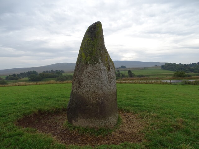
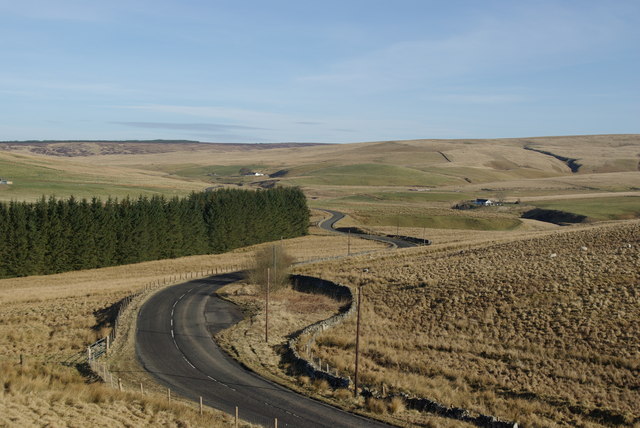
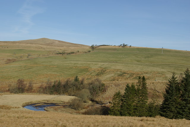
Tor Hill is known for its distinctive conical shape, which sets it apart from the relatively flat landscape of the area. Its slopes are covered in lush greenery, consisting of grasses, shrubs, and some scattered trees. The hill is easily accessible via a network of footpaths, making it a popular destination for local hikers and nature enthusiasts.

Due to its modest height, Tor Hill is not considered a mountain in the traditional sense. However, its prominence and the panoramic views it offers make it a notable landmark in the region. On a clear day, visitors can admire the sweeping vistas of the Ayrshire coastline, with its sandy beaches and rocky cliffs, as well as the rolling hills and farmland that characterize the inland areas.

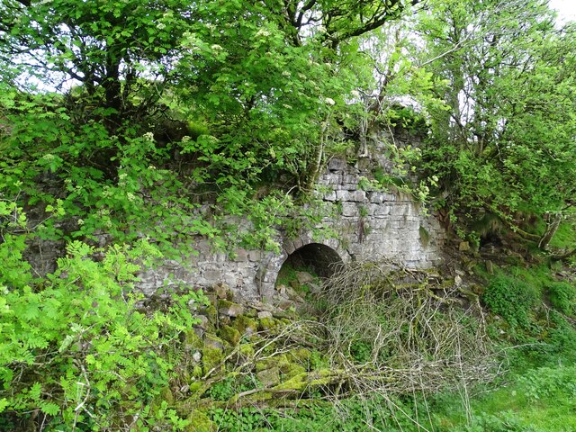
Tor Hill also holds historical significance, with traces of ancient settlements found in the vicinity. Archaeological excavations have uncovered evidence of human activity in the area dating back thousands of years. These findings contribute to the cultural heritage of the region and provide insights into its past inhabitants.

Overall, Tor Hill in Ayrshire offers a charming natural retreat, combining scenic beauty, recreational opportunities, and a glimpse into the area's rich history.

If you have any feedback on the listing, please let us know in the comments section below.
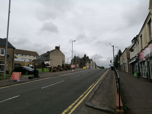
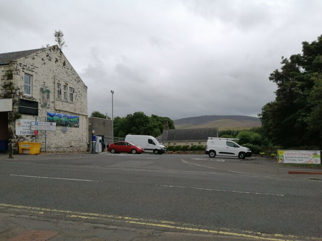
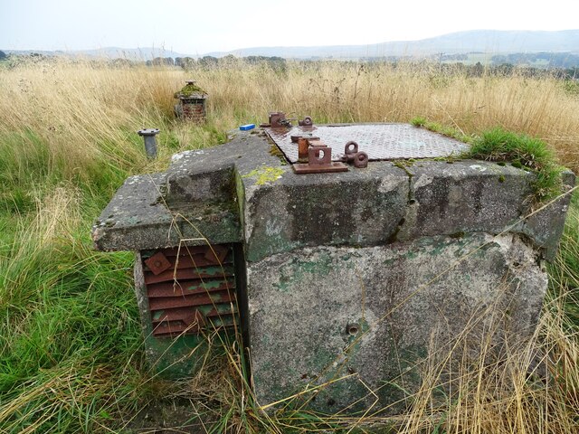
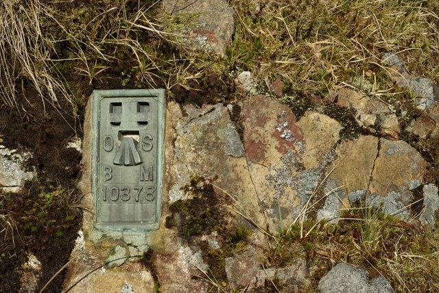
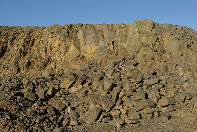
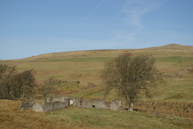
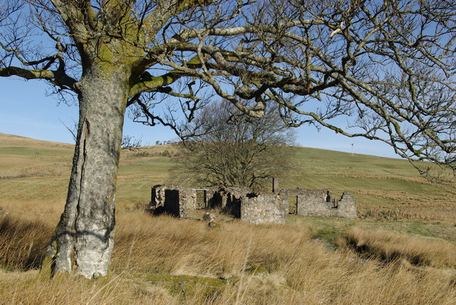
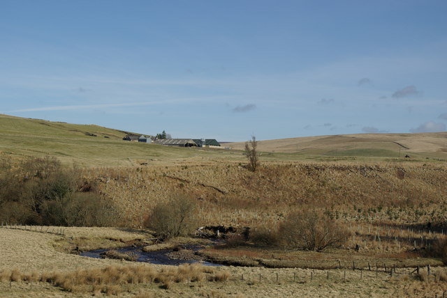
Tor Hill Images

Images are sourced within 2km of 55.527656/-4.0472331 or Grid Reference NS7027. Thanks to Geograph Open Source API. All images are credited.

A70 passing through Muirkirk The picture looks along Muirkirk Main Street which is also the A70. Temporary road signs warn that the road further east is currently closed: <span class="nowrap"><a title="https://www.southlanarkshire.gov.uk/view/news/article/1046/Plan_ahead_for_A70_roadworks_closure" rel="nofollow ugc noopener" href="https://www.southlanarkshire.gov.uk/view/news/article/1046/Plan_ahead_for_A70_roadworks_closure">Link</a><img style="margin-left:2px;" alt="External link" title="External link - shift click to open in new window" src="https://s1.geograph.org.uk/img/external.png" width="10" height="10"/></span> Fortunately my journey went west.
A70 passing through Muirkirk
The picture looks along Muirkirk Main Street which is also the A70. Temporary road signs warn that the road further east is currently closed: LinkExternal link Fortunately my journey went west.
Main Street car park, Muirkirk The car park sits at the west end of the row of businesses on Main Street. Cairn Table is on the horizon behind.
Main Street car park, Muirkirk
The car park sits at the west end of the row of businesses on Main Street. Cairn Table is on the horizon behind.
R.O.C. Bunker An old R.O.C. bunker.
R.O.C. Bunker
An old R.O.C. bunker.
Kames Institute Benchmark on the Kames Institute building.
Kames Institute
Benchmark on the Kames Institute building.
Lightshaw Standing Stone The Lightshaw standing stone, with Cairn Table in the distance.
Lightshaw Standing Stone
The Lightshaw standing stone, with Cairn Table in the distance.
Limekilns near Muirkirk The remains of the middle kiln, in a line of five old kilns.
This photo was taken on the 1st June 2022.
Limekilns near Muirkirk
The remains of the middle kiln, in a line of five old kilns. This photo was taken on the 1st June 2022.
Old Workings by Ashaw Burn A view from the old workings towards the Ashaw Burn.
This photo was taken on the 1st June 2022.
Old Workings by Ashaw Burn
A view from the old workings towards the Ashaw Burn. This photo was taken on the 1st June 2022.
Greenside
Greenside
Greenside
Greenside
Ordnance Survey flush bracket Fixed to a rock outcrop at the start of the Greenside track
Ordnance Survey flush bracket
Fixed to a rock outcrop at the start of the Greenside track
Quarry by the B743
Quarry by the B743
B743 south of Greenock Bridge
Greenock Water & Middlefield Law
Mansfield & Middlefield Law
Mansfield
Mansfield
Greenock Water & Linburn
Greenock Water east of Greenock Bridge
Greenock Water & Blackside
Show me another place!

Tor Hill is located at Grid Ref: NS7027 (Lat: 55.527656, Lng: -4.0472331)

Unitary Authority: East Ayrshire

Police Authority: Ayrshire

What 3 Words

///dialects.doubt.scaffold. Near Muirkirk, East Ayrshire

Nearby Locations

March Wood Tor Hill

Related Wikis

Muirkirk

Muirkirk (Scottish Gaelic: Eaglais an t-Slèibh) is a small village in East Ayrshire, southwest Scotland. It is located on the north bank of the River Ayr...

Muirkirk railway station

Muirkirk railway station was a railway station serving the village of Muirkirk, East Ayrshire, Scotland. == First station == The station opened on 9 August...

Garpel Water

The Garpel Water is a river near Muirkirk, Scotland. It flows under the Sanquhar bridge and Tibbie's Brig. It flows into the River Ayr.

Glenbuck railway station

Glenbuck railway station served the village of Glenbuck in Ayrshire, Scotland. == Opening == The Caledonian Railway extended a line from Douglas to Muirkirk...

Nearby Amenities

Located within 500m of 55.527656,-4.0472331
Power: pole
Lat/Long: 55.5289404/-4.0541117
Power: pole
Lat/Long: 55.5280711/-4.0533268
Power: pole
Lat/Long: 55.5289139/-4.0541929
Power: pole
Lat/Long: 55.5278842/-4.0504179
Power: pole
Lat/Long: 55.5281927/-4.0492823
Power: pole
Lat/Long: 55.528468/-4.0479613
Power: pole
Lat/Long: 55.5288354/-4.0463598
Power: pole
Lat/Long: 55.5294871/-4.0469095
Power: pole
Lat/Long: 55.5301503/-4.0474773
Power: pole
Lat/Long: 55.5307046/-4.0479274
Power: pole
Lat/Long: 55.5306246/-4.0425268
Power: pole
Lat/Long: 55.5306502/-4.0433366
Power: pole
Lat/Long: 55.5306604/-4.0447029
Power: pole
Lat/Long: 55.5306848/-4.0458814
Power: pole
Lat/Long: 55.530695/-4.0471278
Power: pole
Lat/Long: 55.5275174/-4.0517875
The data included in this document is from www.openstreetmap.org. The data is made available under ODbL.

Have you been to Tor Hill?

Leave your review of Tor Hill below (or comments, questions and feedback).