Castle Hill

Hill, Mountain in Dunbartonshire

Scotland

Castle Hill

Mowing grass Cutting grass for winter fodder, a view over the football park at Queenzieburn.
Mowing grass Credit: Richard Webb

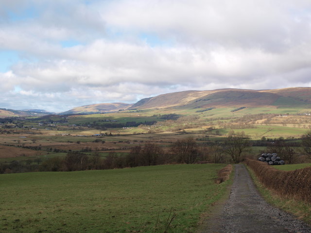
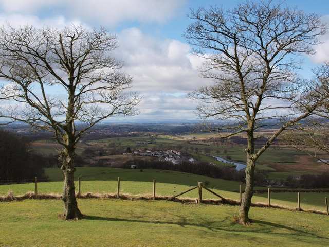
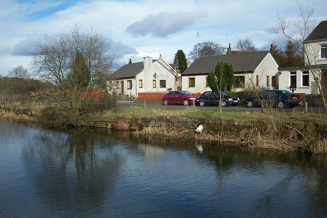
Castle Hill is a prominent hill located in Dunbartonshire, Scotland. Rising to an elevation of 244 meters (800 feet), it offers breathtaking panoramic views of the surrounding countryside and the River Clyde. Situated near the town of Dumbarton, Castle Hill is a significant landmark in the region, attracting both locals and tourists alike.

The hill's name is derived from the presence of a medieval fortress that once stood at its summit. Today, only remnants of the castle remain, including a few crumbling walls and the remnants of a moat. These historical remnants add to the charm and intrigue of Castle Hill, as visitors can explore the ancient ruins and imagine the castle's former grandeur.

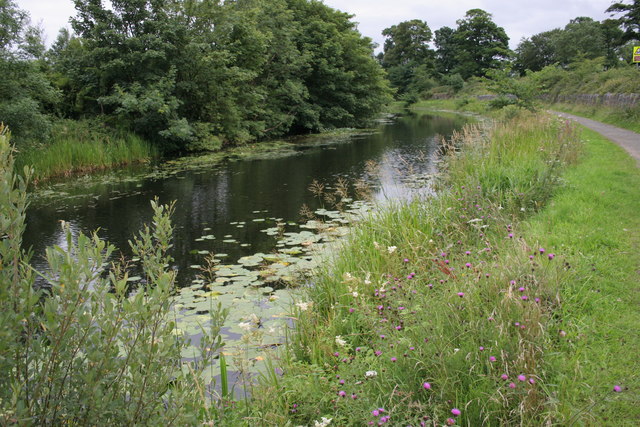
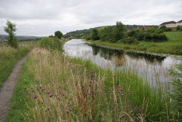
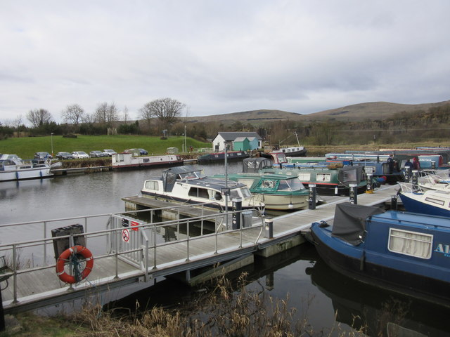
Castle Hill is a popular destination for outdoor enthusiasts and nature lovers. The hill is surrounded by lush greenery, making it an ideal spot for hiking, picnicking, and birdwatching. The well-maintained footpaths and trails provide easy access to the top, allowing visitors to enjoy a leisurely stroll or a more challenging hike.

Due to its strategic location, Castle Hill has played a significant role in the region's history. It has witnessed battles and sieges throughout the centuries, including conflicts during the Wars of Scottish Independence. Today, it serves as a reminder of the area's rich heritage and provides a glimpse into Scotland's past.

In conclusion, Castle Hill in Dunbartonshire is a captivating hill that offers stunning views, historical ruins, and ample opportunities for outdoor activities. Its combination of natural beauty and historical significance makes it a must-visit destination for those exploring the region.

If you have any feedback on the listing, please let us know in the comments section below.
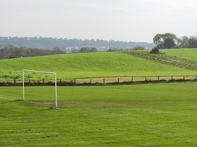
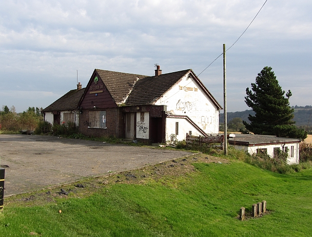
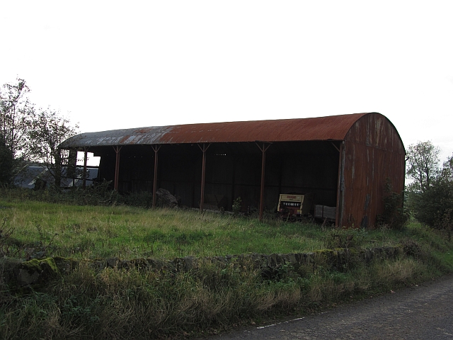
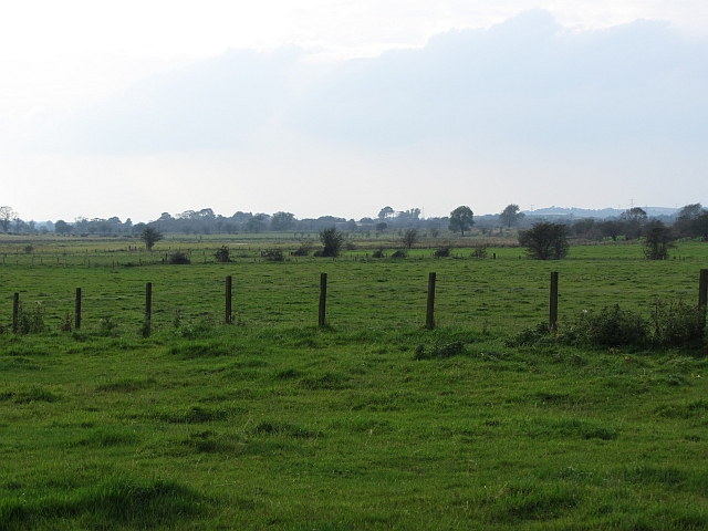
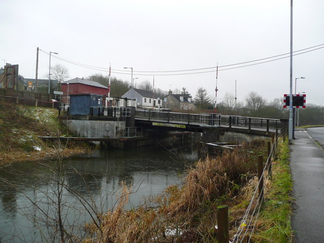
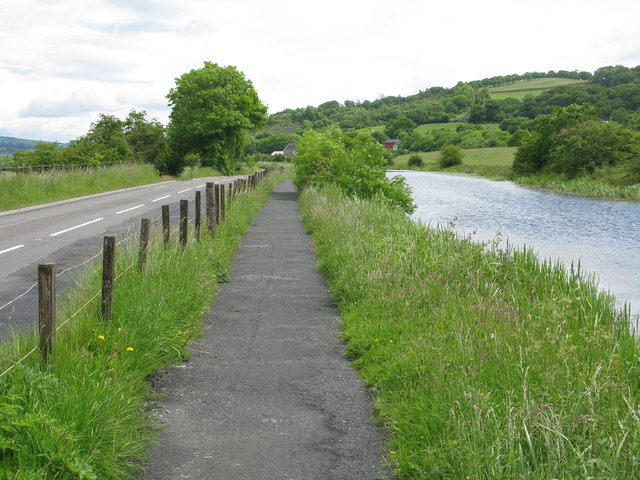
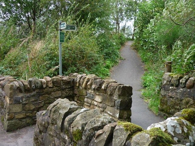
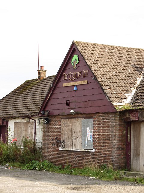
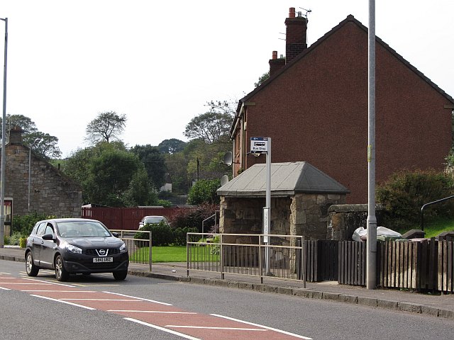
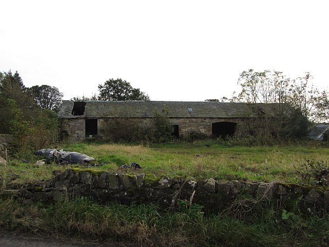
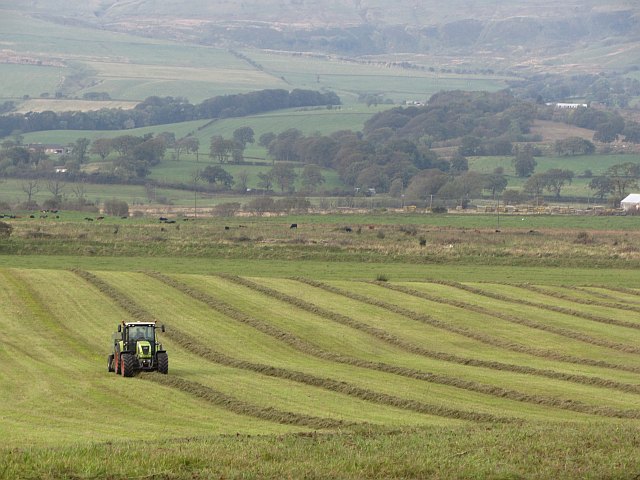
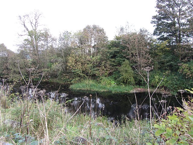
Castle Hill Images

Images are sourced within 2km of 55.960547/-4.0694111 or Grid Reference NS7076. Thanks to Geograph Open Source API. All images are credited.

Mowing grass Cutting grass for winter fodder, a view over the football park at Queenzieburn.
Mowing grass
Cutting grass for winter fodder, a view over the football park at Queenzieburn.
The Beacon Still derelict, a former public house.
The Beacon
Still derelict, a former public house.
Dutch barn, Shirva The zinc has run out and the tin sheeting barn is now rusting.
Dutch barn, Shirva
The zinc has run out and the tin sheeting barn is now rusting.
Wetland pasture Flat and damp low lying ground along the River Kelvin.
Wetland pasture
Flat and damp low lying ground along the River Kelvin.
Twechar Bridge over the Forth and Clyde Canal Quoting from the guide to the Millennium Link "Here, a single-leaf bascule bridge has been refurbished and was recommissioned in January 2001. The work involved replacing the mechanical and electrical operating equipment, replacing the bridge structure and reinstating the control system. The control building has been rebuilt and the area around the bridge site landscaped."
Twechar Bridge over the Forth and Clyde Canal
Quoting from the guide to the Millennium Link "Here, a single-leaf bascule bridge has been refurbished and was recommissioned in January 2001. The work involved replacing the mechanical and electrical operating equipment, replacing the bridge structure and reinstating the control system. The control building has been rebuilt and the area around the bridge site landscaped."
Forth and Clyde Canal, Towpath and Road (B8023) Approaching Twechar.
Forth and Clyde Canal, Towpath and Road (B8023)
Approaching Twechar.
Entrance to Heritage Path The small rectangular sign reads;
"Heritage Path
River Kelvin Walkway
The walkway follows an old mineral
railway which formed part of an extensive
system of lines that connected the
Twechar pits, Dumbreck pit, Kilsyth,
Auchinstarry quarry and several gravel pits.
Small railway engines called pugs hauled
trains of tubs containing coal, ironstone,
mine waste, quarry stone, coke and gravel.
Built in stages from the 1860's it was used
until the 1960's."
Entrance to Heritage Path
The small rectangular sign reads; "Heritage Path River Kelvin Walkway The walkway follows an old mineral railway which formed part of an extensive system of lines that connected the Twechar pits, Dumbreck pit, Kilsyth, Auchinstarry quarry and several gravel pits. Small railway engines called pugs hauled trains of tubs containing coal, ironstone, mine waste, quarry stone, coke and gravel. Built in stages from the 1860's it was used until the 1960's."
The Beacon Derelict pub, Queenzieburn.
The Beacon
Derelict pub, Queenzieburn.
Bus stop, Queenzieburn A bus stop on Kilsyth Road.
Bus stop, Queenzieburn
A bus stop on Kilsyth Road.
Ruined steading A stone building at Shirva.
Ruined steading
A stone building at Shirva.
Baling silage Round bale silage production. The grass is not dried and baled green, then it is sealed in a polythene bag to ferment.
Baling silage
Round bale silage production. The grass is not dried and baled green, then it is sealed in a polythene bag to ferment.
Forth and Clyde Canal
Forth and Clyde Canal Water lilies and the bank-side vegetation make this part of the canal, near Twechar, very attractive at this time of year (August).
Forth and Clyde Canal
Water lilies and the bank-side vegetation make this part of the canal, near Twechar, very attractive at this time of year (August).
Forth and Clyde Canal Looking towards Twechar.
Forth and Clyde Canal
Looking towards Twechar.
Auchinstarry Marina, Kilsyth
Track to Bar Hill Roman fort A good farm road leads walkers from Twechar to the Roman fort on Bar Hill. This picture looks back along this road from a point close to the fort.
Track to Bar Hill Roman fort
A good farm road leads walkers from Twechar to the Roman fort on Bar Hill. This picture looks back along this road from a point close to the fort.
Trees on Bar Hill As seen in e.g. <a href="https://www.geograph.org.uk/photo/128421">NS7075 : Barr Hill Roman Baths</a>, the top of Bar Hill is sparsely wooded. These two trees stand on the western edge of the Roman fort area, and the picture looks west. Part of Twechar can be seen between them, as well as the Forth and Clyde Canal.
Trees on Bar Hill
As seen in e.g. NS7075 : Barr Hill Roman Baths, the top of Bar Hill is sparsely wooded. These two trees stand on the western edge of the Roman fort area, and the picture looks west. Part of Twechar can be seen between them, as well as the Forth and Clyde Canal.
Minor road from Queenzieburn to Twechar The minor road that runs south from Queenzieburn is seen at its Twechar end, where it meets the B8023. The picture looks north along the minor road, from the canal tow path.
Minor road from Queenzieburn to Twechar
The minor road that runs south from Queenzieburn is seen at its Twechar end, where it meets the B8023. The picture looks north along the minor road, from the canal tow path.
Show me another place!

Castle Hill is located at Grid Ref: NS7076 (Lat: 55.960547, Lng: -4.0694111)

Unitary Authority: East Dunbartonshire

Police Authority: Greater Glasgow

What 3 Words

///trade.clipboard.internet. Near Twechar, East Dunbartonshire

Related Wikis

Bar Hill Fort

Bar Hill Fort was a Roman fort on the Antonine Wall in Scotland. It was built around the year 142 A.D.. Older maps and documents sometimes spell the name...

Antonine Wall

The Antonine Wall (Latin: Vallum Antonini) was a turf fortification on stone foundations, built by the Romans across what is now the Central Belt of Scotland...

Auchinstarry

Auchinstarry is a village in North Lanarkshire, Scotland, UK, near to Kilsyth. It is the site of a Roman fort. Auchinstarry Basin is on the Forth and Clyde...

Twechar

Twechar is a small former mining village historically in Dunbartonshire and administered by the council area of East Dunbartonshire, Scotland close to...

Nearby Amenities

Located within 500m of 55.960547,-4.0694111
Castle Hill
Corbett: no
Donald: no
Ele: 170
Graham: no
Munro: no
Natural: peak
Note: height confirmed by gps and alti meter
Lat/Long: 55.9605671/-4.0694475
Bar Hill
Ele: 161
Natural: peak
Note: height confirmed by gps
Wikidata: Q24656404
Lat/Long: 55.9590747/-4.0719686
Tourism: viewpoint
Wheelchair: no
Lat/Long: 55.9576397/-4.0739197
Tourism: viewpoint
Wheelchair: no
Lat/Long: 55.9605644/-4.0695337
Old Ironstone Mine
Historic: mine
Lat/Long: 55.9622742/-4.0630107
Old Ironstone Mine
Historic: mine
Lat/Long: 55.9635353/-4.0637617
Old Ironstone Mine
Historic: mine
Lat/Long: 55.9601483/-4.0633111
Old Ironstone Mine
Historic: mine
Lat/Long: 55.9606767/-4.0647702
Old Ironstone Mine
Historic: mine
Lat/Long: 55.960905/-4.0667443
Old Ironstone Mine
Historic: mine
Lat/Long: 55.9596798/-4.0645127
Old Ironstone Mine
Historic: mine
Lat/Long: 55.9641839/-4.0680961
Old Ironstone Mine
Historic: mine
Lat/Long: 55.9573855/-4.0747695
Old Ironstone Mine
Historic: mine
Lat/Long: 55.9600285/-4.0747533
Bar Hill Fort Bathhouse
Historic: archaeological_site
Historic Civilization: ancient_roman
Lat/Long: 55.9591362/-4.0725576
The data included in this document is from www.openstreetmap.org. The data is made available under ODbL.

Have you been to Castle Hill?

Leave your review of Castle Hill below (or comments, questions and feedback).