Strone Point

Coastal Feature, Headland, Point in Dunbartonshire

Scotland

Strone Point

Mowing grass Cutting grass for winter fodder, a view over the football park at Queenzieburn.
Mowing grass Credit: Richard Webb

Strone Point is a prominent coastal feature located in Dunbartonshire, Scotland. It is classified as a headland or a point due to its geographical characteristics and its position on the coast.

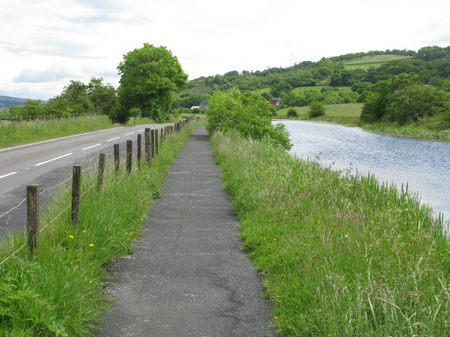
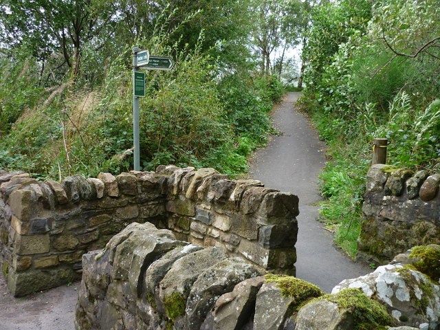
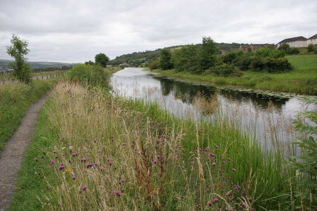
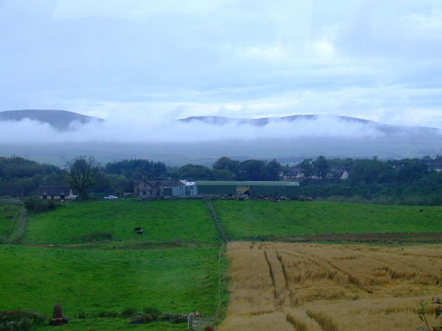
Situated along the western shores of Loch Lomond, Strone Point offers stunning panoramic views of the surrounding landscape. It is positioned at the southern end of the loch, near the village of Gartocharn. The point is easily accessible by road, with a nearby car park and designated walking paths.

The rugged terrain of Strone Point is characterized by steep cliffs and rocky outcrops, providing a dramatic backdrop to the Loch Lomond area. The point juts out into the loch, creating a natural boundary and offering a vantage point for observing the expansive water body.

The coastal area around Strone Point is rich in biodiversity, with various plant species and marine life inhabiting the intertidal zone. Seabirds, such as gulls and cormorants, can often be spotted nesting on the cliffs, while seals and otters occasionally make appearances in the surrounding waters.

The location of Strone Point also makes it a popular spot for outdoor activities. Visitors can enjoy hiking along the coastal paths, taking in the breathtaking views, or engage in water sports such as kayaking and paddleboarding in the loch. Fishing enthusiasts are drawn to the area as well, as Loch Lomond is known for its abundance of trout and salmon.

Overall, Strone Point is a picturesque headland in Dunbartonshire that offers a unique combination of natural beauty, coastal charm, and recreational opportunities for visitors to enjoy.

If you have any feedback on the listing, please let us know in the comments section below.

Strone Point Images

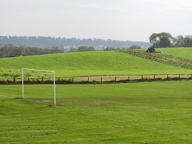
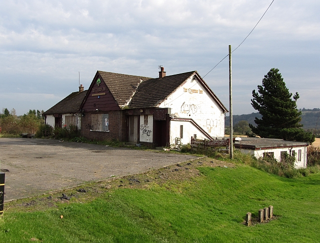
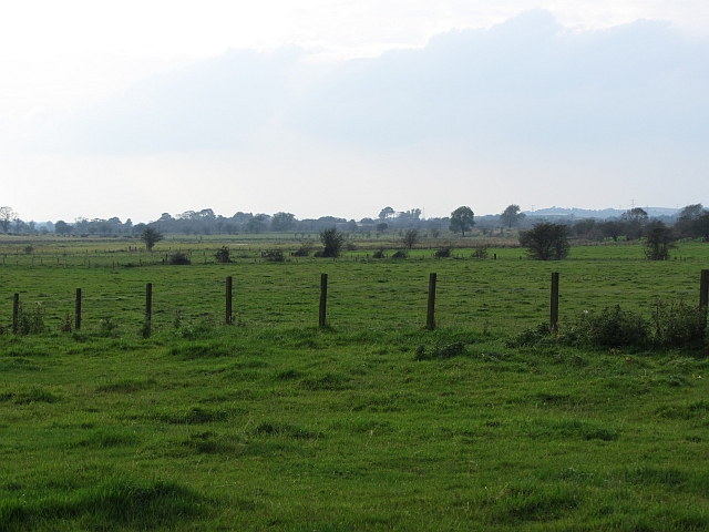
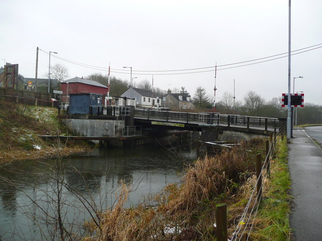
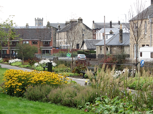
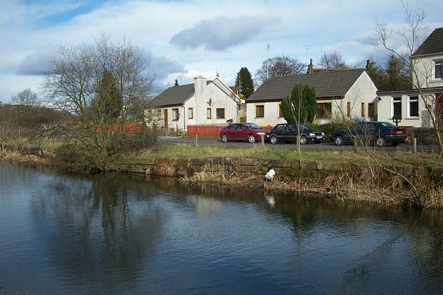
Images are sourced within 2km of 55.965013/-4.0683677 or Grid Reference NS7076. Thanks to Geograph Open Source API. All images are credited.

Mowing grass Cutting grass for winter fodder, a view over the football park at Queenzieburn.
Mowing grass
Cutting grass for winter fodder, a view over the football park at Queenzieburn.
The Beacon Still derelict, a former public house.
The Beacon
Still derelict, a former public house.
Wetland pasture Flat and damp low lying ground along the River Kelvin.
Wetland pasture
Flat and damp low lying ground along the River Kelvin.
Twechar Bridge over the Forth and Clyde Canal Quoting from the guide to the Millennium Link "Here, a single-leaf bascule bridge has been refurbished and was recommissioned in January 2001. The work involved replacing the mechanical and electrical operating equipment, replacing the bridge structure and reinstating the control system. The control building has been rebuilt and the area around the bridge site landscaped."
Twechar Bridge over the Forth and Clyde Canal
Quoting from the guide to the Millennium Link "Here, a single-leaf bascule bridge has been refurbished and was recommissioned in January 2001. The work involved replacing the mechanical and electrical operating equipment, replacing the bridge structure and reinstating the control system. The control building has been rebuilt and the area around the bridge site landscaped."
Forth and Clyde Canal, Towpath and Road (B8023) Approaching Twechar.
Forth and Clyde Canal, Towpath and Road (B8023)
Approaching Twechar.
Entrance to Heritage Path The small rectangular sign reads;
"Heritage Path
River Kelvin Walkway
The walkway follows an old mineral
railway which formed part of an extensive
system of lines that connected the
Twechar pits, Dumbreck pit, Kilsyth,
Auchinstarry quarry and several gravel pits.
Small railway engines called pugs hauled
trains of tubs containing coal, ironstone,
mine waste, quarry stone, coke and gravel.
Built in stages from the 1860's it was used
until the 1960's."
Entrance to Heritage Path
The small rectangular sign reads; "Heritage Path River Kelvin Walkway The walkway follows an old mineral railway which formed part of an extensive system of lines that connected the Twechar pits, Dumbreck pit, Kilsyth, Auchinstarry quarry and several gravel pits. Small railway engines called pugs hauled trains of tubs containing coal, ironstone, mine waste, quarry stone, coke and gravel. Built in stages from the 1860's it was used until the 1960's."
The Beacon Derelict pub, Queenzieburn.
The Beacon
Derelict pub, Queenzieburn.
Bus stop, Queenzieburn A bus stop on Kilsyth Road.
Bus stop, Queenzieburn
A bus stop on Kilsyth Road.
Forth and Clyde Canal Looking towards Twechar.
Forth and Clyde Canal
Looking towards Twechar.
Auchinstarry Totem Pole
White House Building, Main Street (July 2011) This old building has recently been redeveloped.

It spent a few years looking like this <a title="www.geograph.org.uk/photo/1719580" href="https://www.geograph.org.uk/photo/1719580">Link</a>
White House Building, Main Street (July 2011)
This old building has recently been redeveloped. It spent a few years looking like this Link
Kilsyth Police Office Kilsyth's new police office.
The old one is currently up for sale.
Kilsyth Police Office
Kilsyth's new police office. The old one is currently up for sale.
West Board Farm The mist is above the River Kelvin, with the Kilsyth Hills in the distance. Viewed from an Edinburgh bound train, just west of Croy station.
West Board Farm
The mist is above the River Kelvin, with the Kilsyth Hills in the distance. Viewed from an Edinburgh bound train, just west of Croy station.
Croy railway station, looking South-West View from platform 1 at Croy railway station, looking roughly South-West towards Glasgow Queen Street.

Unusually for a station near Glasgow, platform 2 is for Glasgow-bound trains rather than platform 1.  This may have something to do with the station also serving Edinburgh, with Eastbound services leaving from platform 1.  Bishopbriggs and Lenzie stations, both on the same line, are the same in terms of platform numbering.
Croy railway station, looking South-West
View from platform 1 at Croy railway station, looking roughly South-West towards Glasgow Queen Street. Unusually for a station near Glasgow, platform 2 is for Glasgow-bound trains rather than platform 1. This may have something to do with the station also serving Edinburgh, with Eastbound services leaving from platform 1. Bishopbriggs and Lenzie stations, both on the same line, are the same in terms of platform numbering.
Barrwood Quarry There is a lot of work going on in the quarry right now. Possibly landscaping associated with the neighbouring new housing development.
Barrwood Quarry
There is a lot of work going on in the quarry right now. Possibly landscaping associated with the neighbouring new housing development.
Ebroch Drive The back of houses on Ebroch Drive.
Ebroch Drive
The back of houses on Ebroch Drive.
Bandstand, Burngreen A small park between two burns (one the River Kelvin) in Kilsyth.
Bandstand, Burngreen
A small park between two burns (one the River Kelvin) in Kilsyth.
Burngreen Park in Kilsyth seen on a very hot day.
Burngreen
Park in Kilsyth seen on a very hot day.
Show me another place!

Strone Point is located at Grid Ref: NS7076 (Lat: 55.965013, Lng: -4.0683677)

Unitary Authority: East Dunbartonshire

Police Authority: Greater Glasgow

What 3 Words

///leaves.bride.masks. Near Kilsyth, North Lanarkshire

Related Wikis

Antonine Wall

The Antonine Wall, known to the Romans as Vallum Antonini, was a turf fortification on stone foundations, built by the Romans across what is now the Central...

Bar Hill Fort

Bar Hill Fort was a Roman fort on the Antonine Wall in Scotland. It was built around the year 142 A.D.. Older maps and documents sometimes spell the name...

Auchinstarry

Auchinstarry is a village in North Lanarkshire, Scotland, UK, near to Kilsyth. It is the site of a Roman fort. Auchinstarry Basin is on the Forth and Clyde...

Kilsyth Rangers F.C.

Kilsyth Rangers Football Club are a Scottish football club based in the town of Kilsyth, North Lanarkshire. Nicknamed The Wee Gers, they were formed in...

Nearby Amenities

Located within 500m of 55.965013,-4.0683677
Castle Hill
Corbett: no
Donald: no
Ele: 170
Graham: no
Munro: no
Natural: peak
Note: height confirmed by gps and alti meter
Lat/Long: 55.9605671/-4.0694475
Barrier: bump_gate
Bicycle: no
Foot: yes
Lat/Long: 55.9667937/-4.0705119
Barrier: bump_gate
Bicycle: no
Foot: yes
Lat/Long: 55.9646235/-4.0632113
Auchinvole
Is In: North Lanarkshire, Scotland, UK
Place: hamlet
Lat/Long: 55.9666489/-4.0627562
Tourism: viewpoint
Wheelchair: no
Lat/Long: 55.9605644/-4.0695337
Old Ironstone Mine
Historic: mine
Lat/Long: 55.9622742/-4.0630107
Old Ironstone Mine
Historic: mine
Lat/Long: 55.9635353/-4.0637617
Old Ironstone Mine
Historic: mine
Lat/Long: 55.9639677/-4.0606074
Old Ironstone Mine
Historic: mine
Lat/Long: 55.960905/-4.0667443
Old Ironstone Mine
Historic: mine
Lat/Long: 55.9641839/-4.0680961
Coke Ovens
Historic: yes
Lat/Long: 55.9639437/-4.0630107
The data included in this document is from www.openstreetmap.org. The data is made available under ODbL.

Have you been to Strone Point?

Leave your review of Strone Point below (or comments, questions and feedback).