Pen Craig

Hill, Mountain in Cardiganshire

Wales

Pen Craig

Barn conversion, Ysgubor Wennol
Barn conversion, Ysgubor Wennol Credit: Alex McGregor

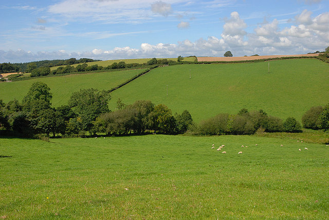
Pen Craig is a prominent hill located in Cardiganshire, Wales. Rising to an elevation of approximately 476 meters (1,562 feet), it is a notable feature of the region's landscape. Situated within the Cambrian Mountains, Pen Craig offers breathtaking panoramic views of the surrounding countryside, including the picturesque Teifi Valley.

The hill is characterized by its rugged and rocky terrain, with its slopes covered in heather and grasses. It is a haven for nature enthusiasts and hikers, who can explore its numerous footpaths and trails. The hill also provides a habitat for a variety of wildlife, including birds of prey such as red kites and buzzards.

At the summit of Pen Craig, visitors can enjoy uninterrupted vistas that span across the rolling hills and valleys of Cardiganshire. On clear days, one can even catch a glimpse of the distant coastline. The hill's location also makes it an ideal spot for stargazing, with minimal light pollution allowing for excellent views of the night sky.

Pen Craig is of historical significance as well. The hill is home to an ancient cairn, which serves as a remnant of the area's rich cultural heritage. This cairn is believed to have been used for ceremonial purposes by the early inhabitants of the region.

Overall, Pen Craig is a captivating destination that offers both natural beauty and cultural significance. Its rugged landscape and stunning views make it a must-visit for outdoor enthusiasts and those seeking a peaceful retreat in the heart of Cardiganshire.

If you have any feedback on the listing, please let us know in the comments section below.
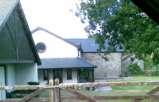
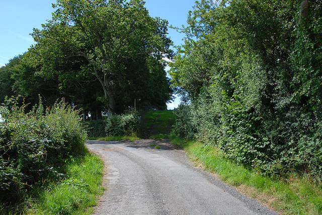
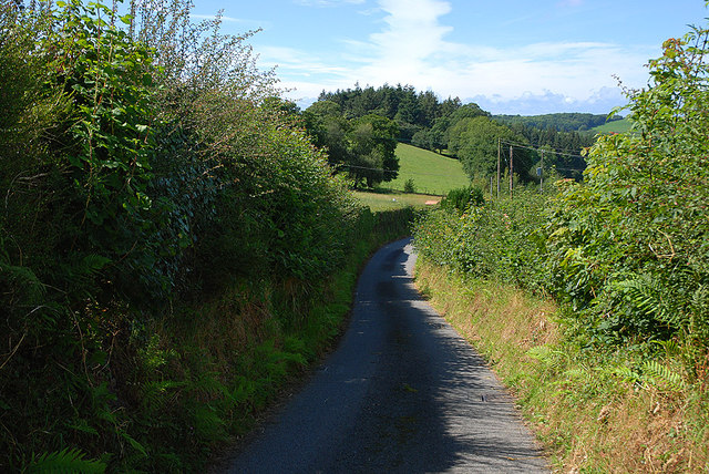
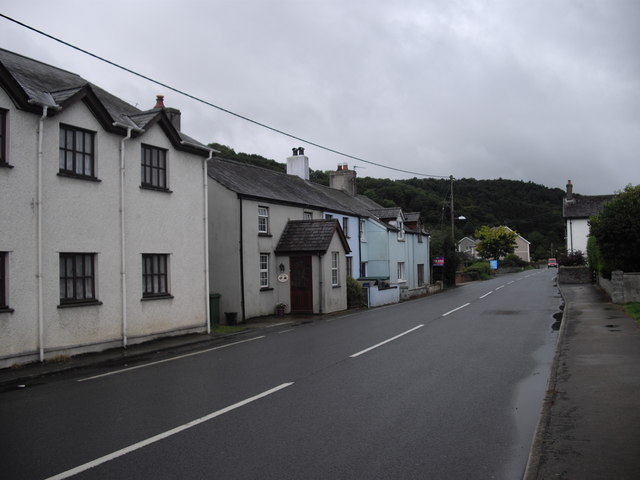
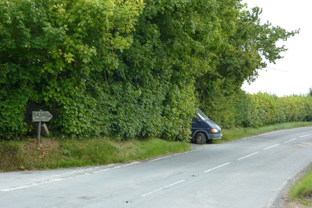
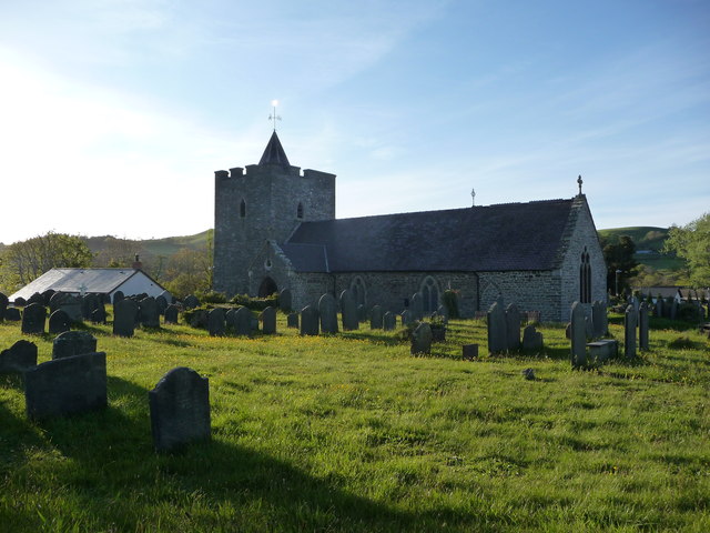
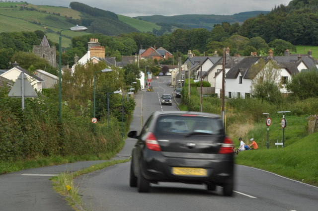
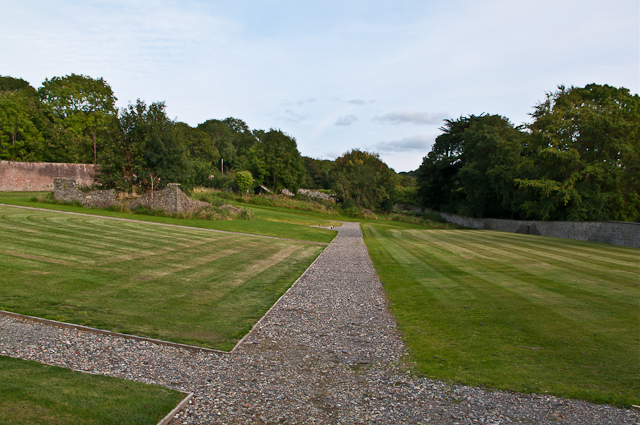
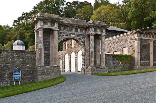
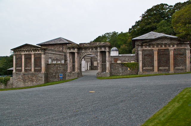
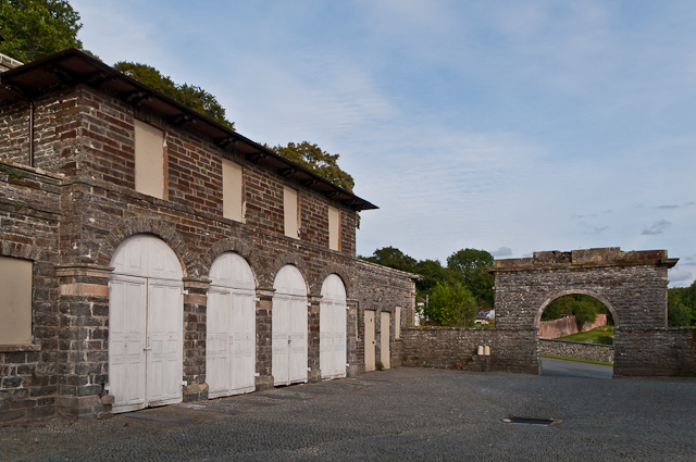
Pen Craig Images

Images are sourced within 2km of 52.374171/-4.0283331 or Grid Reference SN6277. Thanks to Geograph Open Source API. All images are credited.

Barn conversion, Ysgubor Wennol
End of public road at Molecatcher's Wood From here on, the surfaced road continues as a private road to Pencraig. The lane ahead in shadow is "a route with public access".
End of public road at Molecatcher's Wood
From here on, the surfaced road continues as a private road to Pencraig. The lane ahead in shadow is "a route with public access".
Dead-end road past Gors-isaf Giving access to the valley north west of New Cross.
Dead-end road past Gors-isaf
Giving access to the valley north west of New Cross.
Fields north west of New Cross Prime Cardiganshire farmland. The prevalence of names including Gors here suggest that that the valley is boggy, but the only wet part seems to be down at the bottom. Looking down a line which is just a metre or so inside the square.
Fields north west of New Cross
Prime Cardiganshire farmland. The prevalence of names including Gors here suggest that that the valley is boggy, but the only wet part seems to be down at the bottom. Looking down a line which is just a metre or so inside the square.
Houses on the A485, Pentre-llyn, Llanilar
Pre-Worboys road sign on the B4340 at New Cross / Ygors South east of Aberystwyth. Tucked in against the hedge and camouflaged with algae, a sign points out the B4340 towards Trawscoed.
Pre-Worboys road sign on the B4340 at New Cross / Ygors
South east of Aberystwyth. Tucked in against the hedge and camouflaged with algae, a sign points out the B4340 towards Trawscoed.
St. Hilary's church, Llanilar Dedicated to Saint Hilary of Poitiers I believe, hence the Welsh language name of the village.
St. Hilary's church, Llanilar
Dedicated to Saint Hilary of Poitiers I believe, hence the Welsh language name of the village.
The A485 running through Llanilar Sunday traffic on the A485 in Llanilar.
The A485 running through Llanilar
Sunday traffic on the A485 in Llanilar.
The Ystwyth Garage in Llanilar The Ystwyth Garage on the A485 in Llanilar.
The Ystwyth Garage in Llanilar
The Ystwyth Garage on the A485 in Llanilar.
Nanteos The main part of the house was built between 1739 and 1757 for Thomas Powell.  The architect is unknown.  The east wing (only just visible through the trees on the right in this photo) was added in 1841 for William Powell, to a design of the architect W R Coultart.  He also planned a similar west wing, but this was not built.  The portico on the front was added in 1848.

It remained in the ownership of the Powell family until the early 20th century, followed by other owners, before falling into disrepair.  Following recent restoration, it is now a hotel.

It is grade I listed - for a full summary and history see <span class="nowrap"><a title="http://www.coflein.gov.uk/pdf/CPG169/" rel="nofollow ugc noopener" href="http://www.coflein.gov.uk/pdf/CPG169/">Link</a><img style="margin-left:2px;" alt="External link" title="External link - shift click to open in new window" src="https://s1.geograph.org.uk/img/external.png" width="10" height="10"/></span>.
Nanteos
The main part of the house was built between 1739 and 1757 for Thomas Powell. The architect is unknown. The east wing (only just visible through the trees on the right in this photo) was added in 1841 for William Powell, to a design of the architect W R Coultart. He also planned a similar west wing, but this was not built. The portico on the front was added in 1848. It remained in the ownership of the Powell family until the early 20th century, followed by other owners, before falling into disrepair. Following recent restoration, it is now a hotel. It is grade I listed - for a full summary and history see LinkExternal link.
Nanteos The main part of the house was built between 1739 and 1757 for Thomas Powell.  The architect is unknown.  The east wing (the two storey block to the right of the main building) was added in 1841 for William Powell, to a design of the architect W R Coultart.  He also planned a similar west wing, but this was not built.  The portico on the front was added in 1848, and the former billiards room, on the far right of the photo, was added in the 1860s.

It remained in the ownership of the Powell family until the early 20th century, followed by other owners, before falling into disrepair.  Following recent restoration, it is now a hotel.

It is grade I listed - for a full summary and history see <span class="nowrap"><a title="http://www.coflein.gov.uk/pdf/CPG169/" rel="nofollow ugc noopener" href="http://www.coflein.gov.uk/pdf/CPG169/">Link</a><img style="margin-left:2px;" alt="External link" title="External link - shift click to open in new window" src="https://s1.geograph.org.uk/img/external.png" width="10" height="10"/></span>.
Nanteos
The main part of the house was built between 1739 and 1757 for Thomas Powell. The architect is unknown. The east wing (the two storey block to the right of the main building) was added in 1841 for William Powell, to a design of the architect W R Coultart. He also planned a similar west wing, but this was not built. The portico on the front was added in 1848, and the former billiards room, on the far right of the photo, was added in the 1860s. It remained in the ownership of the Powell family until the early 20th century, followed by other owners, before falling into disrepair. Following recent restoration, it is now a hotel. It is grade I listed - for a full summary and history see LinkExternal link.
Nanteos - stable court Part of the stable court at Nanteos (see <a href="https://www.geograph.org.uk/photo/3153388">SN6278 : Nanteos</a>).  The court, containing the former stables and a coach house, dates from the 1830s.
Nanteos - stable court
Part of the stable court at Nanteos (see SN6278 : Nanteos). The court, containing the former stables and a coach house, dates from the 1830s.
Nanteos - walled garden The former walled garden at Nanteos (see <a href="https://www.geograph.org.uk/photo/3153388">SN6278 : Nanteos</a>).
Nanteos - walled garden
The former walled garden at Nanteos (see SN6278 : Nanteos).
Nanteos - stable court The grand entrance to the stable court at Nanteos (see <a href="https://www.geograph.org.uk/photo/3153388">SN6278 : Nanteos</a>).  The court, containing the former stables and a coach house, dates from the 1830s.  The arch was once topped by a stone horse and eagles, but these were removed in the 1960s.
Nanteos - stable court
The grand entrance to the stable court at Nanteos (see SN6278 : Nanteos). The court, containing the former stables and a coach house, dates from the 1830s. The arch was once topped by a stone horse and eagles, but these were removed in the 1960s.
Nanteos - stable court Part of the stable court at Nanteos (see <a href="https://www.geograph.org.uk/photo/3153388">SN6278 : Nanteos</a>).  The court, containing the former stables and a coach house, dates from the 1830s.  The arch (much grander when seen from the outside (see <a href="https://www.geograph.org.uk/photo/3153401">SN6278 : Nanteos - stable court</a>) was once topped by a stone horse and eagles, but these were removed in the 1960s.  Through it can be  seen part of the former walled garden (see <a href="https://www.geograph.org.uk/photo/3153397">SN6278 : Nanteos - walled garden</a>).
Nanteos - stable court
Part of the stable court at Nanteos (see SN6278 : Nanteos). The court, containing the former stables and a coach house, dates from the 1830s. The arch (much grander when seen from the outside (see SN6278 : Nanteos - stable court) was once topped by a stone horse and eagles, but these were removed in the 1960s. Through it can be seen part of the former walled garden (see SN6278 : Nanteos - walled garden).
Nanteos The main part of the house was built between 1739 and 1757 for Thomas Powell.  The architect is unknown.  The east wing (on the right) was added in 1841 for William Powell, to a design of the architect W R Coultart.  He also planned a similar west wing, but this was not built.  The portico on the front was added in 1848.

It remained in the ownership of the Powell family until the early 20th century, followed by other owners, before falling into disrepair.  Following recent restoration, it is now a hotel.

It is grade I listed - for a full summary and history see <span class="nowrap"><a title="http://www.coflein.gov.uk/pdf/CPG169/" rel="nofollow ugc noopener" href="http://www.coflein.gov.uk/pdf/CPG169/">Link</a><img style="margin-left:2px;" alt="External link" title="External link - shift click to open in new window" src="https://s1.geograph.org.uk/img/external.png" width="10" height="10"/></span>.
Nanteos
The main part of the house was built between 1739 and 1757 for Thomas Powell. The architect is unknown. The east wing (on the right) was added in 1841 for William Powell, to a design of the architect W R Coultart. He also planned a similar west wing, but this was not built. The portico on the front was added in 1848. It remained in the ownership of the Powell family until the early 20th century, followed by other owners, before falling into disrepair. Following recent restoration, it is now a hotel. It is grade I listed - for a full summary and history see LinkExternal link.
Nanteos The main part of the house was built between 1739 and 1757 for Thomas Powell.  The architect is unknown.  The east wing (the two storey block to the right of the main building) was added in 1841 for William Powell, to a design of the architect W R Coultart.  He also planned a similar west wing, but this was not built.  The portico on the front was added in 1848, and the former billiards room, on the far right of the building, was added in the 1860s.

It remained in the ownership of the Powell family until the early 20th century, followed by other owners, before falling into disrepair.  Following recent restoration, it is now a hotel.

It is grade I listed - for a full summary and history see <span class="nowrap"><a title="http://www.coflein.gov.uk/pdf/CPG169/" rel="nofollow ugc noopener" href="http://www.coflein.gov.uk/pdf/CPG169/">Link</a><img style="margin-left:2px;" alt="External link" title="External link - shift click to open in new window" src="https://s1.geograph.org.uk/img/external.png" width="10" height="10"/></span>.
Nanteos
The main part of the house was built between 1739 and 1757 for Thomas Powell. The architect is unknown. The east wing (the two storey block to the right of the main building) was added in 1841 for William Powell, to a design of the architect W R Coultart. He also planned a similar west wing, but this was not built. The portico on the front was added in 1848, and the former billiards room, on the far right of the building, was added in the 1860s. It remained in the ownership of the Powell family until the early 20th century, followed by other owners, before falling into disrepair. Following recent restoration, it is now a hotel. It is grade I listed - for a full summary and history see LinkExternal link.
Show me another place!

Pen Craig is located at Grid Ref: SN6277 (Lat: 52.374171, Lng: -4.0283331)

Unitary Authority: Ceredigion

Police Authority: Dyfed Powys

What 3 Words

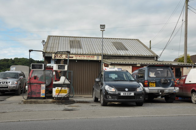
///clarifies.dentures.spoon. Near Llanilar, Ceredigion

Related Wikis

Y Gors, Ceredigion

Y Gors is a hamlet in the community of Trawsgoed, Ceredigion, Wales, which is 71.5 miles (115.1 km) from Cardiff and 176.1 miles (283.4 km) from London...
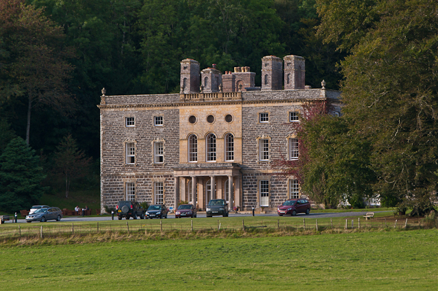
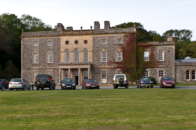
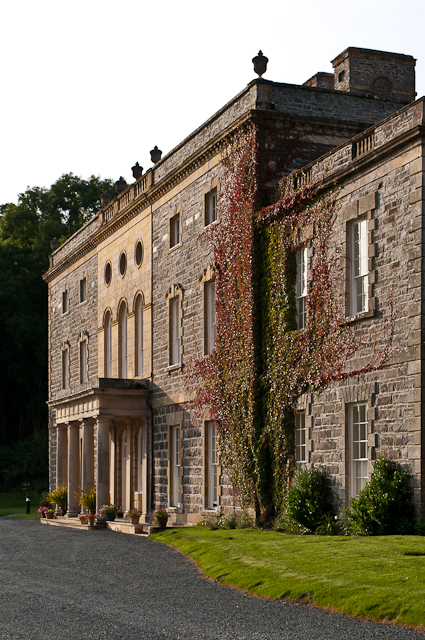
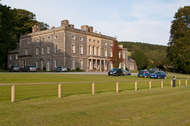
Nanteos Mansion

Nanteos (Welsh: Plas Nanteos, Nanteos Mansion) is an 18th-century former country house in Llanbadarn-y-Creuddyn, near Aberystwyth, Ceredigion, Wales. A...

Ystwyth Trail

The Ystwyth Trail is a 21-mile (34 km) multi-use rail trail linking Aberystwyth, Llanfarian, Ystrad Meurig and Tregaron in Ceredigion, Wales. Cycling and...

Llanilar railway station

Llanilar railway station was on the Carmarthen to Aberystwyth Line (originally called the Manchester and Milford Railway before being transferred to the...

Nearby Amenities

Located within 500m of 52.374171,-4.0283331
Power: pole
Source: bing
Lat/Long: 52.3699727/-4.0263498
Man Made: mast
Lat/Long: 52.3735423/-4.0285835
Power: pole
Source: bing
Lat/Long: 52.3702052/-4.0249765
Power: pole
Source: bing
Lat/Long: 52.3697532/-4.0276426
Place: farm
Lat/Long: 52.3772307/-4.0293272
Place: farm
Lat/Long: 52.3724952/-4.0258296
The data included in this document is from www.openstreetmap.org. The data is made available under ODbL.

Have you been to Pen Craig?

Leave your review of Pen Craig below (or comments, questions and feedback).