Roughill Moss

Hill, Mountain in Ayrshire

Scotland

Roughill Moss

Green Pasture The farm in the distance is Avisyard. To the top left of the photo can be seen Open Cast coal workings; a familiar sight in the area.
Green Pasture Credit: Stuart Brabbs

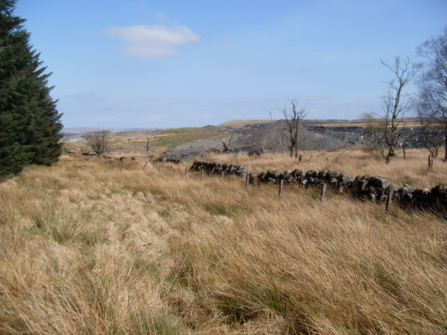
Roughill Moss is a small hill/mountain located in Ayrshire, Scotland. Situated in the southern part of the country, Roughill Moss is part of the larger Southern Uplands range. Despite its modest height, standing at approximately 380 meters (1,250 feet), it offers stunning panoramic views of the surrounding countryside.

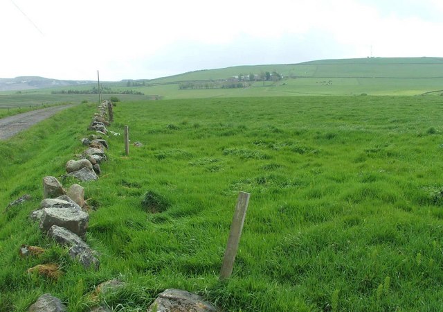
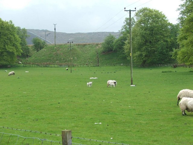
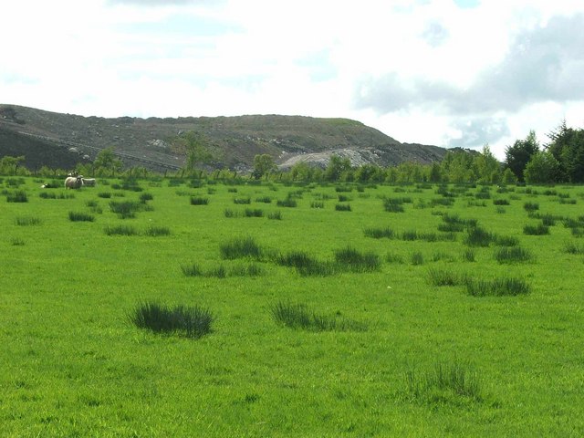
The hill/mountain is characterized by its rugged and rocky terrain, with a mix of grassy slopes and exposed crags. It is covered in patches of heather, moss, and other native vegetation, giving it a vibrant and picturesque appearance, particularly in the summer months when the heather is in bloom. The hill/mountain is also home to a variety of wildlife, including birds, rabbits, and small mammals.

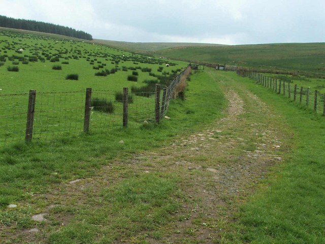
Roughill Moss is a popular destination for hikers and nature enthusiasts who enjoy exploring the Scottish countryside. There are several walking trails that lead to the summit, providing visitors with the opportunity to experience the beauty of the landscape firsthand. Along the way, hikers can enjoy the peacefulness of the surroundings and may even catch a glimpse of some of the local wildlife.

The hill/mountain is easily accessible by car or public transportation, with parking available at the base for those driving. Despite its relatively small size, Roughill Moss offers a rewarding and memorable experience for those seeking outdoor activities or simply a peaceful escape from the hustle and bustle of everyday life.

If you have any feedback on the listing, please let us know in the comments section below.

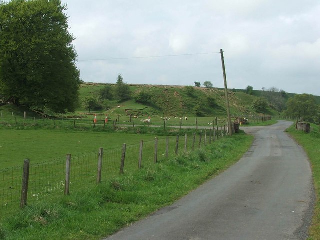
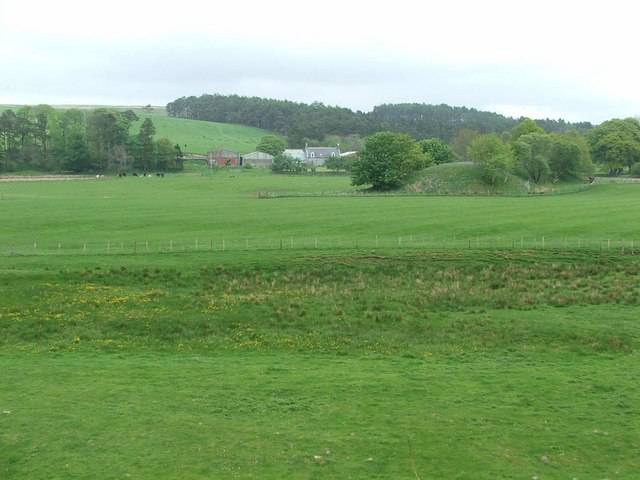
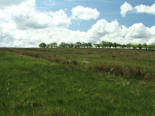
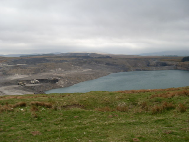
Roughill Moss Images

Images are sourced within 2km of 55.44585/-4.1829597 or Grid Reference NS6219. Thanks to Geograph Open Source API. All images are credited.

Green Pasture The farm in the distance is Avisyard. To the top left of the photo can be seen Open Cast coal workings; a familiar sight in the area.
Green Pasture
The farm in the distance is Avisyard. To the top left of the photo can be seen Open Cast coal workings; a familiar sight in the area.
Sheep grazing at Garleffan Farm Typical agricultural land with a massive opencast coal site in the background. A conveyor is clearly visible for transporting coal to a more accessible point for transport and distribution.
Sheep grazing at Garleffan Farm
Typical agricultural land with a massive opencast coal site in the background. A conveyor is clearly visible for transporting coal to a more accessible point for transport and distribution.
The Glenmuir Water. The Glenmuir Water is a tributary of the Lugar Water which is in turn a tributary of the River Ayr.
The Glenmuir Water.
The Glenmuir Water is a tributary of the Lugar Water which is in turn a tributary of the River Ayr.
Looking past Dornal Wood and Farm House This is the end point of the public road.
Looking past Dornal Wood and Farm House
This is the end point of the public road.
The Mole Catcher's been This once familiar sight around Ayrshire is rare nowadays.
The Mole Catcher's been
This once familiar sight around Ayrshire is rare nowadays.
View up the Pittairn Burn
Garlaffan Farm Entrance.
Dornal farm. Dornal Farm with manmade earth mound in the mid distance.
Dornal farm.
Dornal Farm with manmade earth mound in the mid distance.
Unimproved grassland To the left of the trees , the mast on top of Avisyard hill can be seen sticking above the horizon.
Unimproved grassland
To the left of the trees , the mast on top of Avisyard hill can be seen sticking above the horizon.
High Garleffan? I think it's safe to assume that High Garleffan has well and truly disappeared.
Yet more opencast workings.
High Garleffan?
I think it's safe to assume that High Garleffan has well and truly disappeared. Yet more opencast workings.
Arran Arran must be at least 45 miles from here. What a view. The only bad point is the white plume from the Barony chipboard factory chimney.
Arran
Arran must be at least 45 miles from here. What a view. The only bad point is the white plume from the Barony chipboard factory chimney.
Avisyard Hill, East Ayrshire Trig pillar S5048 was completed 21st September 1949 at a cost of £12.15s.7d. Large communications masts dominate the skyline behind the photographer. From the public road, there is a track all the way up to the comms masts via the farm.
Avisyard Hill, East Ayrshire
Trig pillar S5048 was completed 21st September 1949 at a cost of £12.15s.7d. Large communications masts dominate the skyline behind the photographer. From the public road, there is a track all the way up to the comms masts via the farm.
Opencast workings Part of the large opencast coal mine at Garleffan, viewed from the edge of the forest
Opencast workings
Part of the large opencast coal mine at Garleffan, viewed from the edge of the forest
Moorland and opencast The opencast coal mine at Garleffan is on the right (partly in this square). Beyond is the Glenmuir valley.
Moorland and opencast
The opencast coal mine at Garleffan is on the right (partly in this square). Beyond is the Glenmuir valley.
Changed landscape The scenery in this area is somewhat different from what is marked on the map, due to opencast coal mining. High Garleffan is (or was!) in there somewhere
Changed landscape
The scenery in this area is somewhat different from what is marked on the map, due to opencast coal mining. High Garleffan is (or was!) in there somewhere
Opencast workings High Garleffan was here!
Opencast workings
High Garleffan was here!
Unmarked lake This large lake, formed by the opencast mining, covers a large area - the Explorer map shows a well in the middle of it. See also "changed landscape" in NS6217, taken from another direction.
Unmarked lake
This large lake, formed by the opencast mining, covers a large area - the Explorer map shows a well in the middle of it. See also "changed landscape" in NS6217, taken from another direction.
Dirty lake Mine workings again - to the SE of the big lake in the other photo.
Dirty lake
Mine workings again - to the SE of the big lake in the other photo.
Show me another place!

Roughill Moss is located at Grid Ref: NS6219 (Lat: 55.44585, Lng: -4.1829597)

Unitary Authority: East Ayrshire

Police Authority: Ayrshire

What 3 Words

///scrapping.mandates.misfits. Near Logan, East Ayrshire

Related Wikis

Cronberry

Cronberry is a small hamlet situated north-east of Cumnock and one mile north-east of Lugar, in East Ayrshire, Scotland. == History == Cronberry has a...
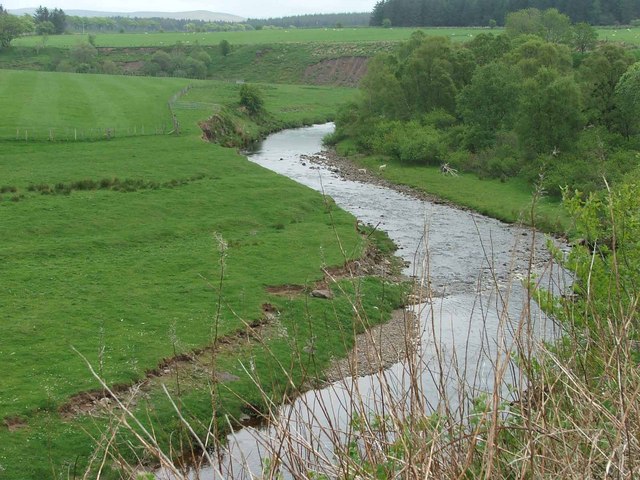
Glenmuir Water

The Glenmuir Water is a river in Ayrshire, Scotland.The river rises high in the hills south of Muirkirk. On reaching Lugar the Glenmuir is joined by the...

Murdoch's Cave

Murdoch's Cave, is a relatively small artificial cave created by William Murdoch (1754-1839) and his siblings in the soft red sandstone Lugar river bank...

Bello Mill

Bello Mill (also spelt Bellow Mill) was a mill dating from the 18th century on the river called the Lugar Water, on the estate of James Boswell, Lord Auchinleck...

Nearby Amenities

Located within 500m of 55.44585,-4.1829597
Rough Hill
Natural: peak
Source: NLS-OS-1st_Series
Lat/Long: 55.4458656/-4.182826
The data included in this document is from www.openstreetmap.org. The data is made available under ODbL.

Have you been to Roughill Moss?

Leave your review of Roughill Moss below (or comments, questions and feedback).