Moel y Gerddi

Hill, Mountain in Merionethshire

Wales

Moel y Gerddi

Road junction near the river The left hand road heads up to Gerddi Bluog with the left leading to Cwm Bychan.
Road junction near the river Credit: DS Pugh

The requested URL returned error: 429 Too Many Requests

If you have any feedback on the listing, please let us know in the comments section below.

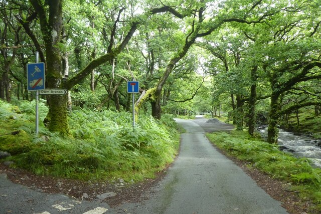
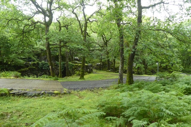
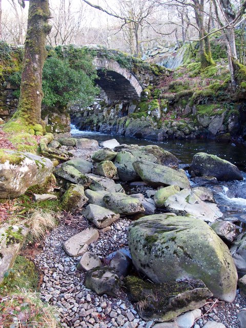
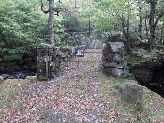
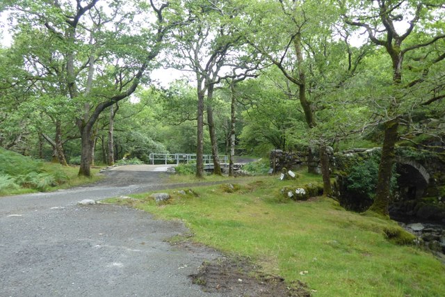
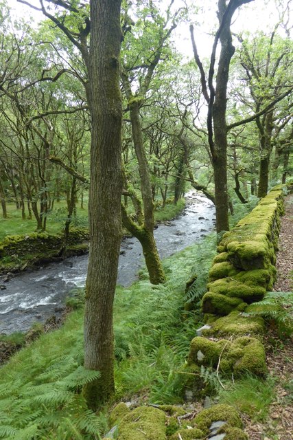
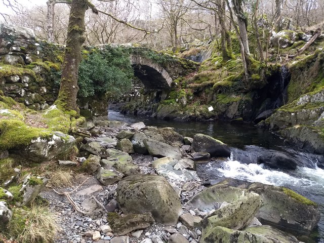
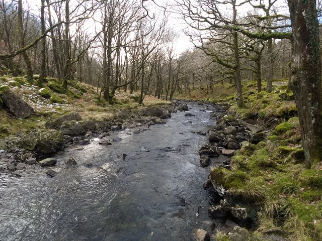
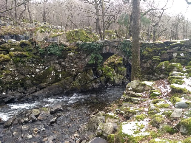
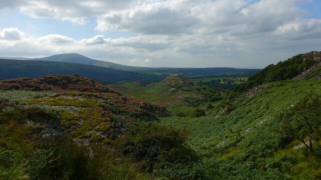
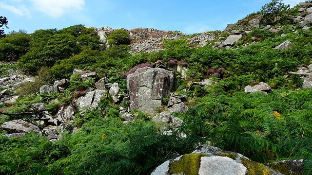
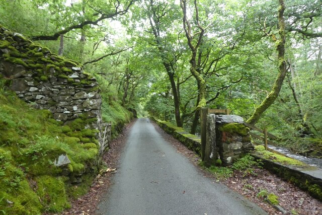
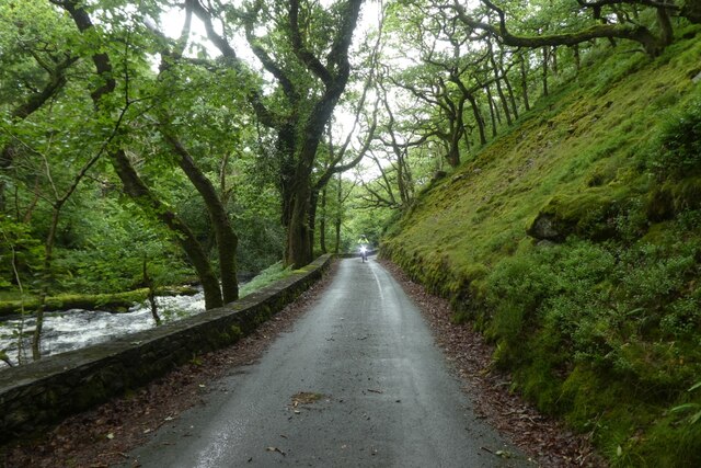
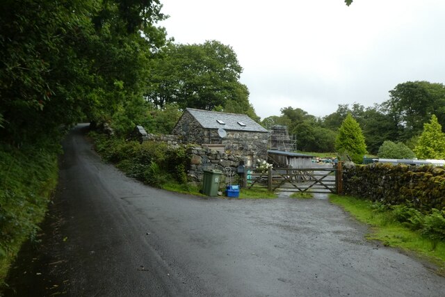
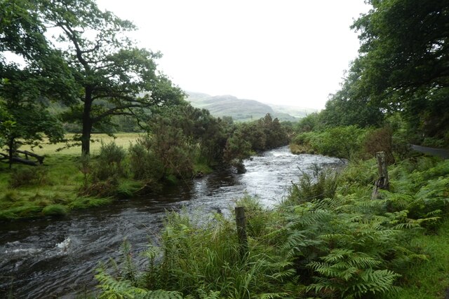
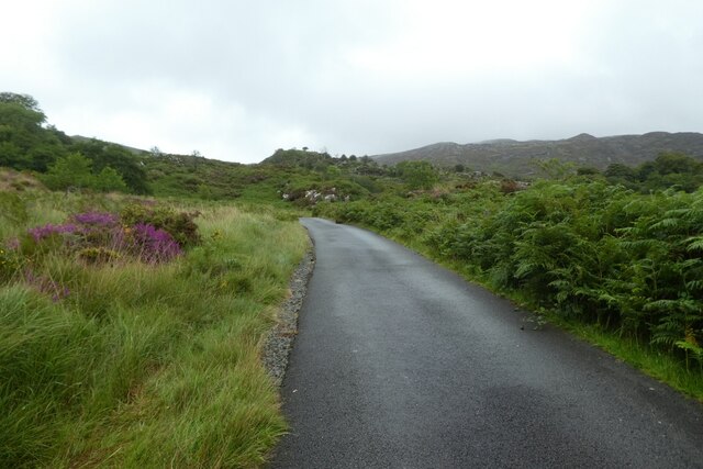
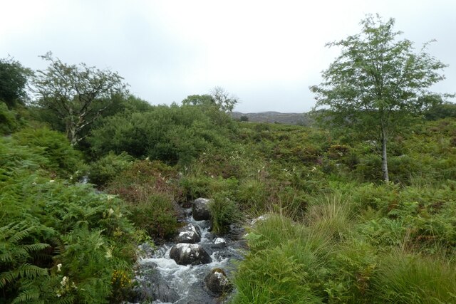
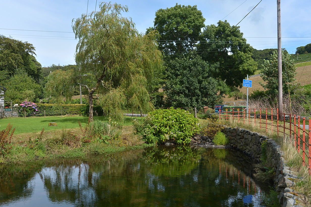
Moel y Gerddi Images

Images are sourced within 2km of 52.864508/-4.050795 or Grid Reference SH6231. Thanks to Geograph Open Source API. All images are credited.

Road junction near the river The left hand road heads up to Gerddi Bluog with the left leading to Cwm Bychan.
Road junction near the river
The left hand road heads up to Gerddi Bluog with the left leading to Cwm Bychan.
Pont Cwm-yr-afon A bridge over the Afon Artro beside the road to Cwm Bychan.
Pont Cwm-yr-afon
A bridge over the Afon Artro beside the road to Cwm Bychan.
Towards Pont Cwm-yr-afon The bridge crosses the Afon Artro.
Towards Pont Cwm-yr-afon
The bridge crosses the Afon Artro.
Pont Cwm-yr-Afon Built in 1835.
Pont Cwm-yr-Afon
Built in 1835.
Start of the track to Cwm Yr Afon Over the narrow Pont Yr Afon crossing the Afon Artro.
Start of the track to Cwm Yr Afon
Over the narrow Pont Yr Afon crossing the Afon Artro.
Pont Cwm yr Afon Looking towards the old and new bridges.
Pont Cwm yr Afon
Looking towards the old and new bridges.
Beside the Artro The road follows the Artro down the valley from Cwm Bychan.
Beside the Artro
The road follows the Artro down the valley from Cwm Bychan.
Pont Cwm-yr-afon
Pont Cwm-yr-afon
Looking downstream from Pont Cwm-yr-afon On the Afon Artro.
Looking downstream from Pont Cwm-yr-afon
On the Afon Artro.
Pont Cwm-yr-afon from the east bank of Afon Artro
Taith Ardudwy south of Fridd Farm The Taith Ardudwy descends a short rough valley.
Today the bracken was so high and dense it smothered the waymark posts except the first one right of centre near the bottom.
Taith Ardudwy south of Fridd Farm
The Taith Ardudwy descends a short rough valley. Today the bracken was so high and dense it smothered the waymark posts except the first one right of centre near the bottom.
Rock and heather from the Taith Ardudwy The Taith Ardudwy path descends through this very rough but splendid cleft of rock and heather.
Care was needed today because the man-eating bracken covered the path and the marker posts - and almost us as well!.
There are some well hidden goats in this picture, no problem with the terrain for them.
Rock and heather from the Taith Ardudwy
The Taith Ardudwy path descends through this very rough but splendid cleft of rock and heather. Care was needed today because the man-eating bracken covered the path and the marker posts - and almost us as well!. There are some well hidden goats in this picture, no problem with the terrain for them.
Gate on the road near Cwm-yr-afon The road to Cwm Bychan from Llanbedr.
Gate on the road near Cwm-yr-afon
The road to Cwm Bychan from Llanbedr.
Road beside the Afon Artro The road to Cwm Bychan from Llanbedr.
Road beside the Afon Artro
The road to Cwm Bychan from Llanbedr.
Road passing Dolwreiddiog The road to Cwm Bychan from Llanbedr.
Road passing Dolwreiddiog
The road to Cwm Bychan from Llanbedr.
Afon Artro north of Dolwreiddiog The river beside the road between Cwm Bychan and Llanbedr.
Afon Artro north of Dolwreiddiog
The river beside the road between Cwm Bychan and Llanbedr.
Road climbing towards Cwm Bychan The road between Cwm Bychan and Llanbedr.
Road climbing towards Cwm Bychan
The road between Cwm Bychan and Llanbedr.
Stream along the road to Cwm Bychan A tributary to the Afon Artro beside the road between Cwm Bychan and Llanbedr.
Stream along the road to Cwm Bychan
A tributary to the Afon Artro beside the road between Cwm Bychan and Llanbedr.
Show me another place!

Moel y Gerddi is located at Grid Ref: SH6231 (Lat: 52.864508, Lng: -4.050795)

Unitary Authority: Gwynedd

Police Authority: North Wales

What 3 Words

///reception.frozen.combos. Near Harlech, Gwynedd

Related Wikis

Llyn Cwm Bychan

Llyn Cwm Bychan is a lake in north Wales, and is one of the sources of the River Artro which flows south westwards through Llanbedr and onwards to the...

River Artro

The River Artro (Welsh: Afon Artro) is a river in Gwynedd, Wales. It is about 4.5 miles (7.2 km) long and has its source at Llyn Cwm Bychan below Rhinog...

Ellis Wynne

Ellis Wynne (7 March 1671 – 13 July 1734) was a Welsh clergyman and author. He is remembered mainly for one of the most important and influential pieces...

Eisingrug

Eisingrug (meaning: a place where corn was winnowed after husking) is a rural hamlet near Harlech, Gwynedd, Wales. It is located to the southeast of Porthmadog...

Nearby Amenities

Located within 500m of 52.864508,-4.050795
Moel Y Gerddi
Ele: 381
Natural: peak
Source: npe
Wikidata: Q106709869
Lat/Long: 52.8639269/-4.0521909
The data included in this document is from www.openstreetmap.org. The data is made available under ODbL.

Have you been to Moel y Gerddi?

Leave your review of Moel y Gerddi below (or comments, questions and feedback).