Creag an Eidhein

Hill, Mountain in Inverness-shire

Scotland

Creag an Eidhein

Trig point and rocks at summit of Stac Gorm Stac Gorm is a rocky hill lying to the south of Loch Ruthven. The view beyond the summit area is to the north with the peak of Stac na Cathaig in view.
Trig point and rocks at summit of Stac Gorm Credit: Trevor Littlewood

The requested URL returned error: 429 Too Many Requests

If you have any feedback on the listing, please let us know in the comments section below.

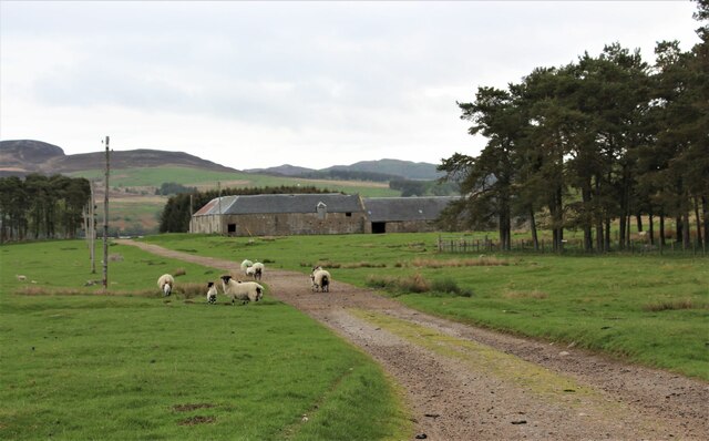
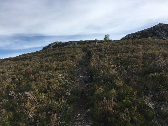
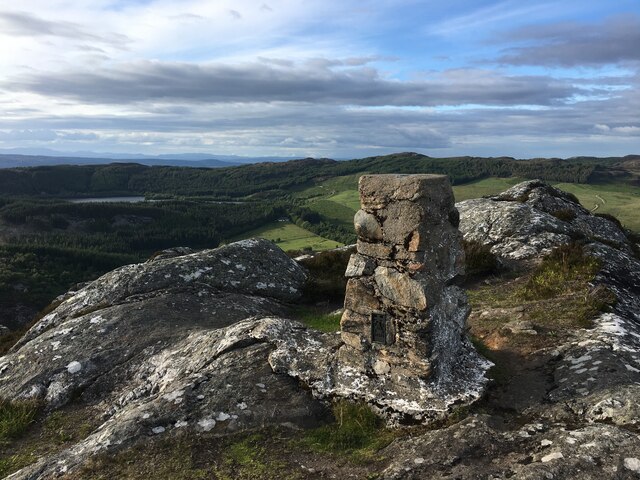
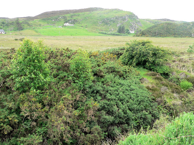
Creag an Eidhein Images

Images are sourced within 2km of 57.31079/-4.2918482 or Grid Reference NH6226. Thanks to Geograph Open Source API. All images are credited.

Trig point and rocks at summit of Stac Gorm Stac Gorm is a rocky hill lying to the south of Loch Ruthven. The view beyond the summit area is to the north with the peak of Stac na Cathaig in view.
Trig point and rocks at summit of Stac Gorm
Stac Gorm is a rocky hill lying to the south of Loch Ruthven. The view beyond the summit area is to the north with the peak of Stac na Cathaig in view.
Stac Gorm's summit The summit and triangulation pillar on a very rugged small hill.
Stac Gorm's summit
The summit and triangulation pillar on a very rugged small hill.
Moorland and Stac Gorm
Scrubland by Loch Ruthven
Farmland by Loch Ruthven With the remains of a drystone wall.
Farmland by Loch Ruthven
With the remains of a drystone wall.
Log pile near Ballachar A collection area for nearby forest harvesting, on the hill above Loch Ruthven.
Log pile near Ballachar
A collection area for nearby forest harvesting, on the hill above Loch Ruthven.
Springtime in Strathnairn
Glenbeg Farm
Glenbeg Farm
Bridgend, an old croft in Strathnairn
Woodside Cottage, Aberarder
Farm buildings at Ruthven
Path up Stac Gorm
Path up Stac Gorm
Trig point atop Stac Gorm
Fence on the ridge between Stac Gorm and Craig Ruthven
Sheep grazing near Loch Ruthven
Minor road near Loch Ruthven
Loch Ruthven from Tullich
Cattle grid on unclassified road east of Dalcrombie
Show me another place!

Creag an Eidhein is located at Grid Ref: NH6226 (Lat: 57.31079, Lng: -4.2918482)

Unitary Authority: Highland

Police Authority: Highlands and Islands

What 3 Words

///promising.beamed.warrior. Near Drumnadrochit, Highland

Related Wikis

Loch Ruthven

Loch Ruthven is a large loch which lies to the southeast of Loch Ness in the Highland region of Scotland. It is 2.25 miles (3.62 km) long, extends over...

Aberarder

Aberarder (Scottish Gaelic: Obar Àrdair) is a hamlet to the south of Loch Ruthven, Scottish Highlands and is in the Scottish council area of Highland....

East Croachy

East Croachy is a small hamlet in the Highland council area, in the Highlands of Scotland. It is located 1 mile (1.6 km) east of Loch Ruthven, and 5 miles...

Achnabat

Achnabat is a small crofting settlement, on the B862, in Inverness-shire, Scotland, within the Scottish council area of Highland. == References ==

Nearby Amenities

Located within 500m of 57.31079,-4.2918482
Craig Ruthven
Natural: peak
Lat/Long: 57.3121487/-4.2911514
The data included in this document is from www.openstreetmap.org. The data is made available under ODbL.

Have you been to Creag an Eidhein?

Leave your review of Creag an Eidhein below (or comments, questions and feedback).